The best road cycling routes around Fellering
4.5
(837)
37,660
riders
14
rides
Road cycling routes around Fellering are characterized by the mountainous terrain of the Vosges, featuring numerous cols and significant elevation gains. The region offers a landscape of forested slopes, open mountain passes, and valleys with rivers. Road cyclists can expect varied gradients, from steady climbs to challenging ascents, making it suitable for those seeking elevation.
Best road cycling routes around Fellering
- The most popular road cycling route is Climb to Col Amic – Grand Ballon loop from Fellering, a…
Last updated: October 21, 2026
4.8
(4)
189
riders
46.2km
02:25
820m
820m
Moderate road ride. Good fitness required. Some segments of this route may be unpaved and difficult to ride.
5.0
(1)
125
riders
87.7km
05:19
1,920m
1,920m
Hard road ride. Very good fitness required. Some segments of this route may be unpaved and difficult to ride.

4.3
(8)
282
riders
39.6km
02:10
770m
770m
Moderate road ride. Good fitness required. Some segments of this route may be unpaved and difficult to ride.
4.6
(5)
150
riders
35.6km
01:52
570m
570m
Moderate road ride. Good fitness required. Some segments of this route may be unpaved and difficult to ride.
4.9
(7)
100
riders
28.4km
01:46
800m
800m
Moderate road ride. Good fitness required. Mostly well-paved surfaces and easy to ride.
Get access to more routes and recommendations from other explorers.
Already have an account?
Our route recommendations are based on thousands of hikes, rides, and runs completed by other people on komoot.
Start today with a free account
Your next adventure awaits.


Tips from the Community

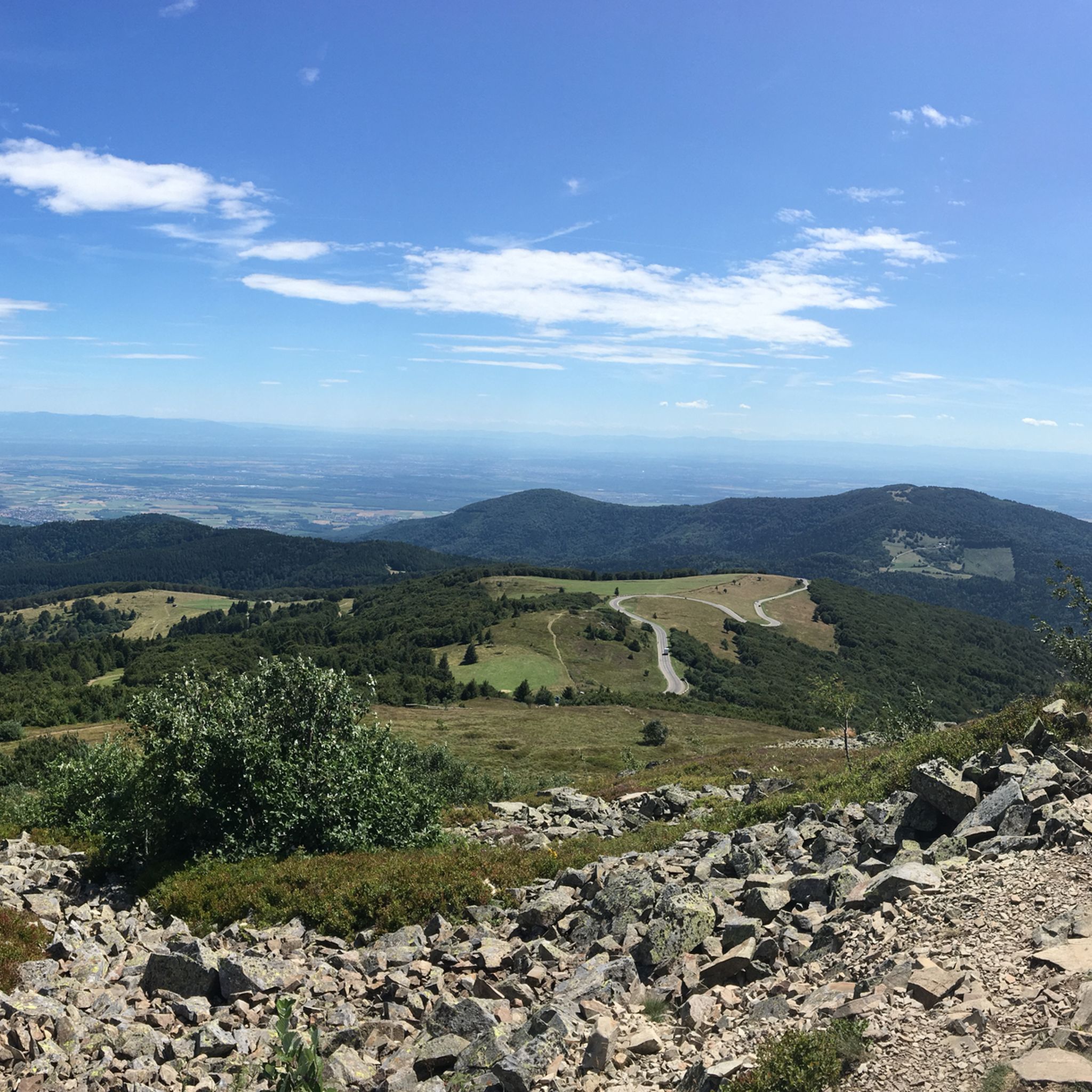
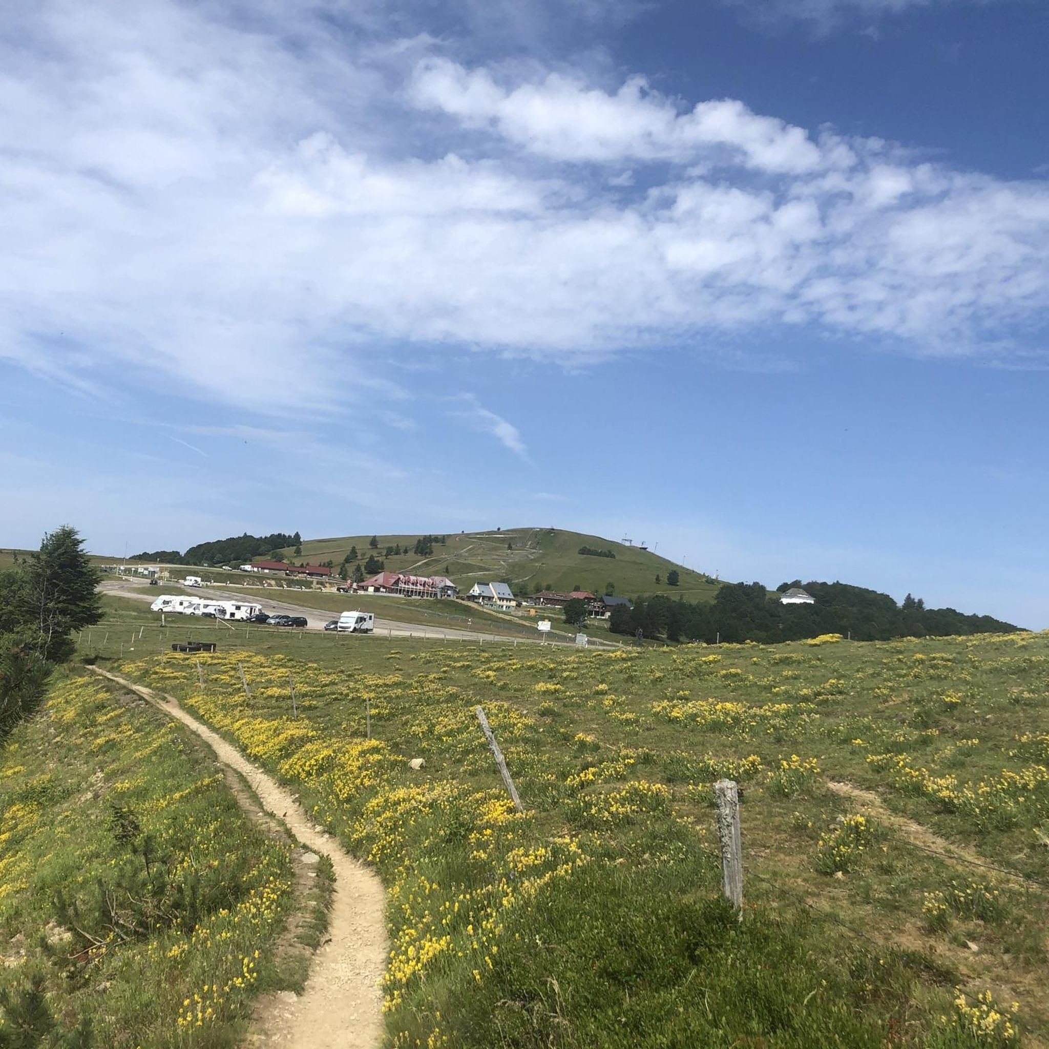
When you drive from the Route des Crêtes towards Le Grand Ballon, you pass the Col du Haag (1233 m) almost unnoticed. Yet, this pass marks a special point on the southern flank of the highest mountain in the Vosges. Here, steep roads from the Thurdal leave the wooded slopes and reach the open heights of the massif. From the col, a typical Vosges landscape unfolds with mountain meadows, scattered farms, and sweeping views. The proximity of the Grand Ballon is felt everywhere: the imposing summit towers above the pass and forms the natural goal of the final climbing kilometers. For cyclists, the Col du Haag is mainly known as the point where difficult climbs from the valleys converge before the road continues to rise to the highest point of the Vosges.
6
0
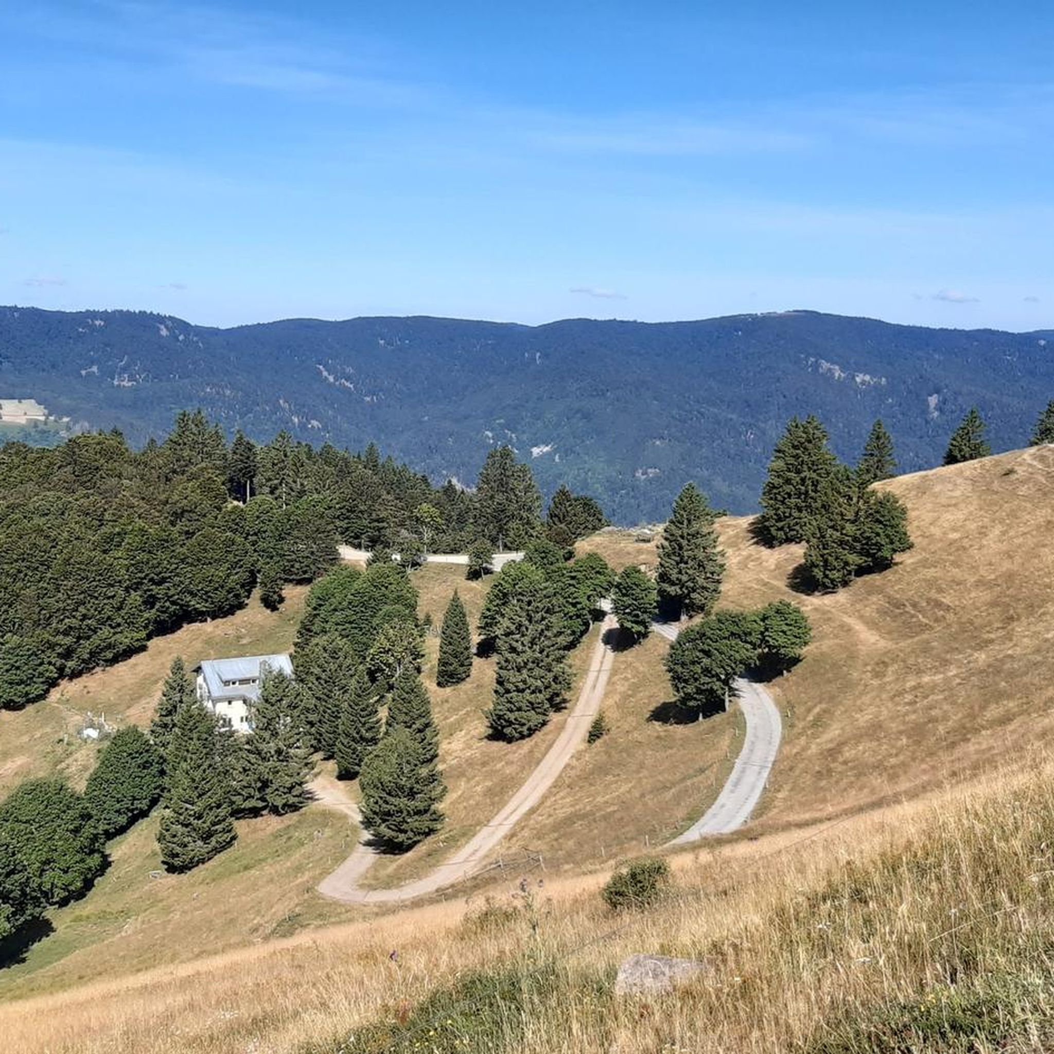
There are no restaurants or cafes at the summit of the Col de Bramont itself. However, the pass serves as a strategic junction. From the summit, you can directly connect to the famous Route des Crêtes (the D431), which links the main mountain peaks of the Vosges. This allows you to easily cycle or hike to larger attractions nearby, such as the Col de la Schlucht, the Hohneck, or the Grand Ballon. The climb is enjoyable due to its 12 hairpin bends on the southern flank (Kruth).
7
0
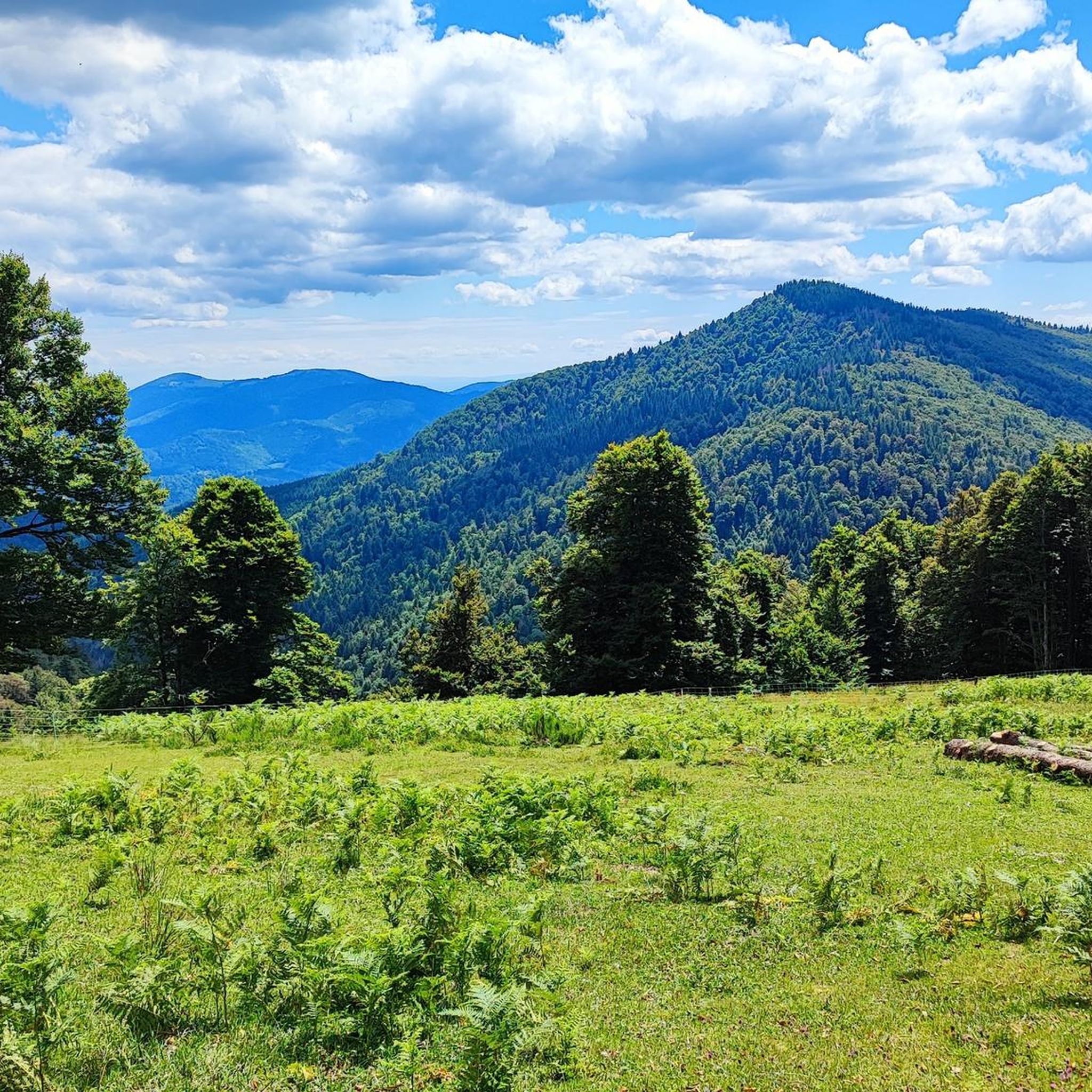
The climb starts relatively calmly; the first 4.5 kilometers hardly show any significant incline, while the road runs slightly undulating along the Lac de Kruth-Wildenstein reservoir. Only after that does the real climbing work begin over a distance of about 3.5 to 4 kilometers. From that moment on, the road winds its way up via 12 characteristic hairpin bends. The gradient during this section is very constant and fluctuates almost continuously around 5 to 6%, making the climb ideal for finding a steady rhythm. The road is well-asphalted and leads entirely through a dense pine forest. This allows you to cycle delightfully in the shade, although due to the dense vegetation at the top and during the climb, there are few sweeping views of the valley. Once at the top (955m), you can descend directly to the north side towards La Bresse or join the well-known Route des Crêtes to extend the ride to, for example, the Col de la Schlucht or the Grand Ballon.
6
0
Stuwdam Lac de Kruth‑Wildenstein View over the quiet mountain lake on one side, and on the other side the steep, wooded rock face of the Thur valley.
8
0
The Cascade du Bockloch is an atmospheric waterfall in Alsace (Haut-Rhin department), located on the wooded northeastern bank (right bank) of the Kruth-Wildenstein Lake. The waterfall is fed by the Hinterbockloch mountain stream, which originates on the slopes of the nearby Grand Ventron massif. Water plunges here via an abrupt, steep rock face about 12 meters down into a small, photogenic basin, just before it flows into the reservoir.
7
0
Het Meer van Kruth-Wildenstein (Lac de Kruth-Wildenstein) is een prachtig, kunstmatig stuwmeer in de Elzas (departement Haut-Rhin), gelegen op een hoogte van 545 meter aan de voet van de Col d'Oderen. Met een oppervlakte van 81 hectare is dit diepblauwe meer omringd door beboste berghellingen een van de absolute parels van de Vogezen en een ideaal rust- of startpunt voor wielrenners.
6
0

Brilliant ascent to the pass relatively quiet with a pleasant gradient
4
0

More information also here: https://www.quaeldich.de/paesse/col-du-platzerwasel/
1
0
Frequently Asked Questions
How many road cycling routes are available around Fellering?
There are over 10 dedicated road cycling routes around Fellering, catering to various skill levels. You'll find a mix of easy, moderate, and challenging options to explore the Vosges mountains.
Are there any easy road cycling routes suitable for beginners in Fellering?
Yes, Fellering offers at least one easy road cycling route. While the region is known for its mountainous terrain, there are options designed for those new to road cycling or looking for a less strenuous ride.
What are the typical distances and elevations for road cycling routes in Fellering?
Routes in Fellering vary significantly. For instance, the Climb to Col Amic – Grand Ballon loop from Fellering is a challenging 54.5 miles (87.7 km) with nearly 2,000 meters of elevation gain. Moderate routes like the Col de Bramont – Col du Bramont (Southwest) loop from Fellering cover about 28.7 miles (46.3 km) with over 800 meters of ascent.
Are there challenging road cycling routes for experienced riders?
Absolutely. Fellering is situated in the Vosges, known for its demanding climbs and mountain passes. Routes like the Climb to Col Amic – Grand Ballon loop from Fellering and the Ballon d'Alsace – Rue du Ballon d'Alsace. loop from Fellering offer significant elevation gains and are classified as difficult, perfect for experienced cyclists seeking a challenge.
What kind of scenic viewpoints can I expect on road cycling routes around Fellering?
Road cycling routes in Fellering often feature stunning mountain views, dense forested slopes, and picturesque lake vistas. The View from Le Treh – Lake Kruth-Wildenstein loop from Fellering, for example, offers beautiful mountain panoramas and passes by the scenic Lake Kruth-Wildenstein.
Are there any circular road cycling routes starting from Fellering?
Many of the road cycling routes around Fellering are designed as loops, allowing you to start and finish in the same location. Examples include the Climb to Col Amic – Grand Ballon loop from Fellering and the View from Le Treh – Lake Kruth-Wildenstein loop from Fellering.
What are some notable attractions or landmarks along the road cycling routes?
Along the routes, you can encounter various natural and cultural highlights. The region features beautiful lakes such as Lake Kruth-Wildenstein, Lake Schiessrothried, and Ballon Lake. You might also pass by mountain passes like Boenlesgrab Pass or find charming farm inns like Kahlenwasen Farm Inn.
What is the best time of year for road cycling in Fellering?
The best time for road cycling in Fellering is typically from late spring to early autumn (May to October). During these months, the weather is generally milder, and mountain passes are clear of snow, offering optimal conditions for exploring the Vosges.
What do other road cyclists say about the routes in Fellering?
The road cycling routes in Fellering are highly regarded by the komoot community, boasting an average rating of 4.5 stars from over 280 reviews. Cyclists frequently praise the varied terrain, challenging climbs, and the stunning natural beauty of the Vosges mountains.
Are there options for road cycling in Fellering during winter?
While some lower elevation routes might be accessible, winter road cycling in Fellering can be challenging due to snow and ice, especially on higher mountain passes. It's advisable to check local weather and road conditions carefully, and consider alternative sports like cross-country skiing during peak winter months.
Is parking available near the road cycling routes in Fellering?
Parking is generally available in and around Fellering, particularly in the village centers or at popular starting points for outdoor activities. Specific parking information for individual routes is not always provided, but you can usually find suitable spots in the vicinity of the route's start.
Can I access road cycling routes in Fellering using public transport?
Fellering and the surrounding Vosges region have some public transport connections, primarily bus services that link to larger towns. While direct access to every trailhead by public transport might be limited, you can often reach Fellering itself and then cycle to your desired route starting point.
Most popular routes around Fellering
Most popular attractions around Fellering

Get inspired with the komoot mobile app


Explore more
Browse the best Road cycling routes in other regions.
