The best running trails around Sankt Amarin
4.5
(96)
6,320
runners
20
runs
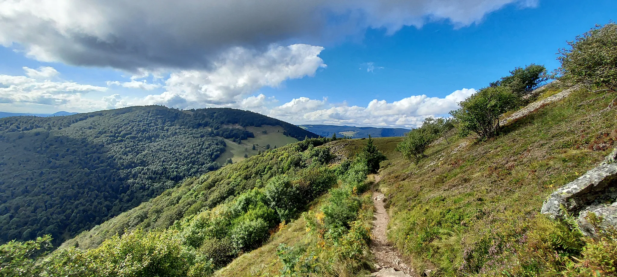
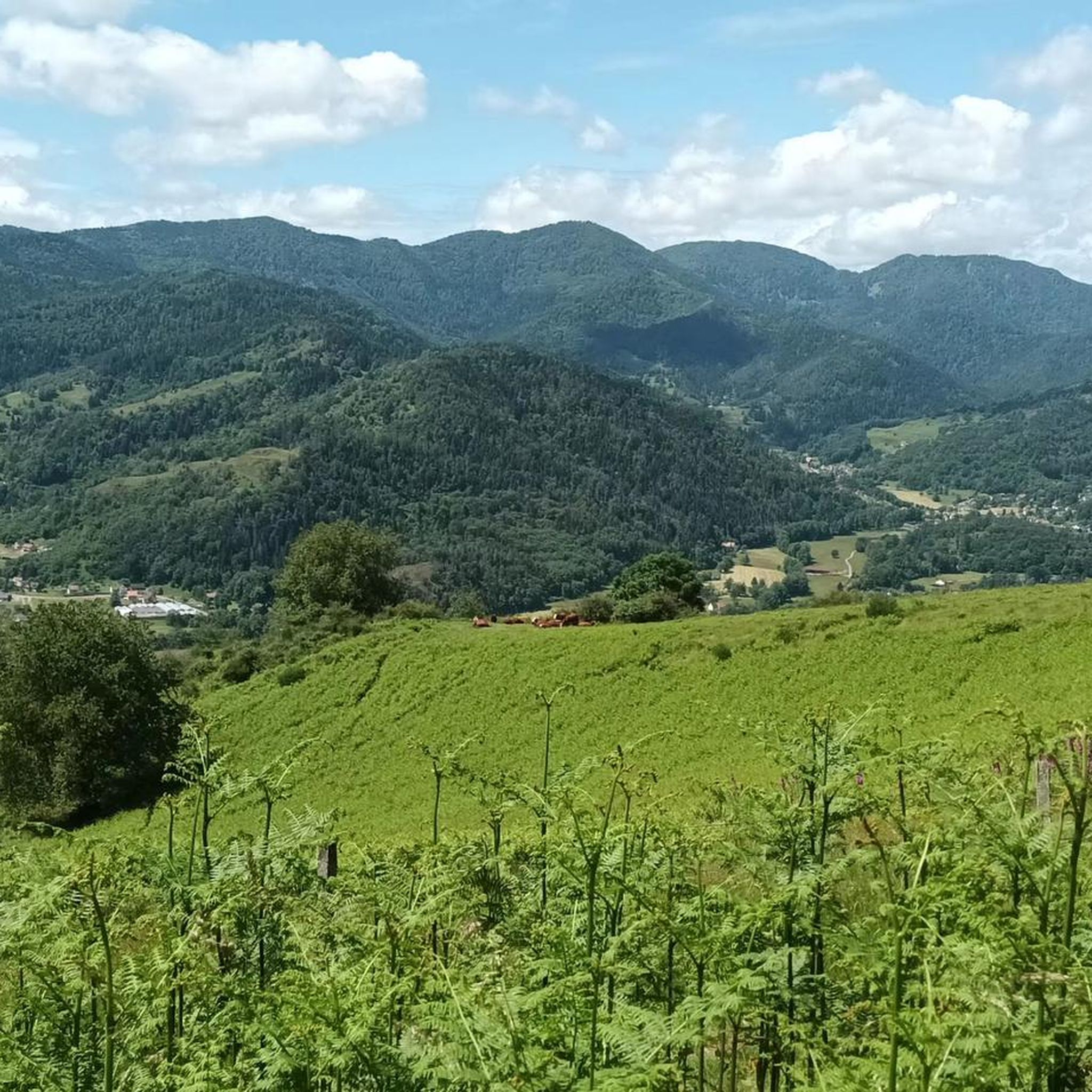
Jogging routes around Sankt Amarin are set within the Regional Natural Park of Ballons des Vosges, offering diverse landscapes for runners. The region is characterized by the Vosges Mountains, providing varied terrain from moderate paths to challenging trails with significant elevation gains. The Thur Valley offers gentler options, including a greenway along the river. Extensive forests and high-altitude pastures, known as "Hautes Chaumes," contribute to a varied environment for outdoor activities.
Best jogging routes around Sankt Amarin
- The most popular…
Last updated: October 1, 2026
5.0
(1)
73
runners
19.5km
02:53
1,030m
1,030m
Hard run. Very good fitness required. Sure-footedness, sturdy shoes and alpine experience required.
81
runners
10.3km
01:23
370m
370m
Hard run. Very good fitness required. Mostly accessible paths. Some sure footedness required.

4.0
(1)
13
runners
9.61km
01:17
370m
370m
Hard run. Very good fitness required. Mostly accessible paths. Some sure footedness required.
10
runners
Moderate run. Good fitness required. Mostly paved surfaces. Suitable for all skill levels.
12
runners
6.95km
00:44
70m
70m
Moderate run. Good fitness required. Mostly paved surfaces. Suitable for all skill levels.
Get access to more routes and recommendations from other explorers.
Already have an account?
Our route recommendations are based on thousands of hikes, rides, and runs completed by other people on komoot.
Start today with a free account
Your next adventure awaits.
Popular around Sankt Amarin



Tips from the Community

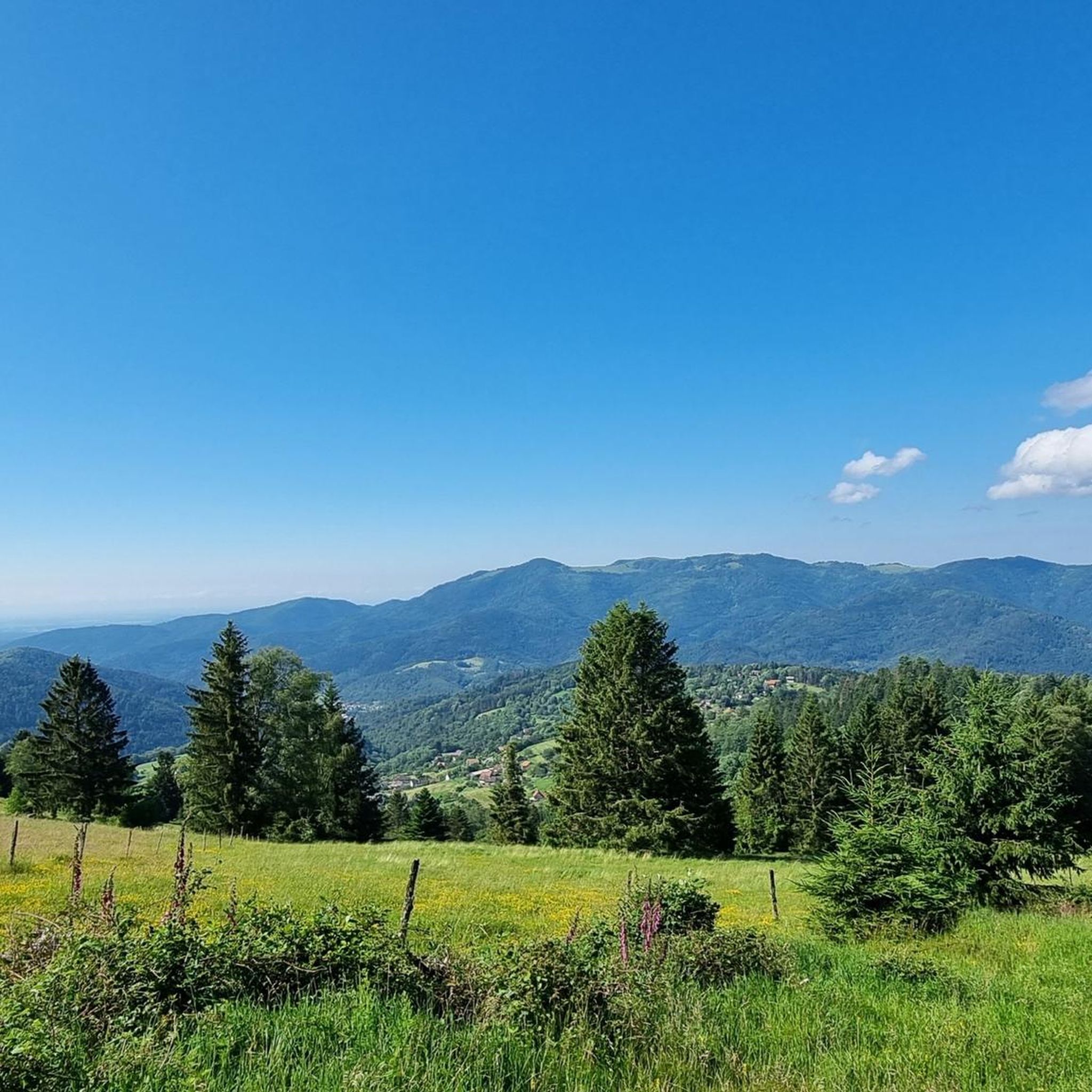
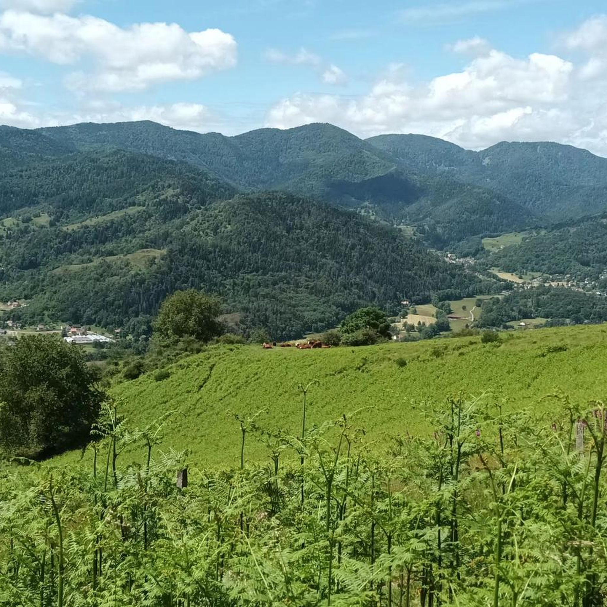
The Ferme-Auberge du Haag is a traditional mountain inn located near the Col du Haag (1233 m), at the foot of the Grand Ballon. For generations, the farms on the higher Vosges ridges have been welcoming hikers, cyclists, and winter sports enthusiasts. The Haag farm is situated in the middle of mountain pastures, with a beautiful view over the southern Vosges and the Grand Ballon.
4
0
When you drive from the Route des Crêtes towards Le Grand Ballon, you pass the Col du Haag (1233 m) almost unnoticed. Yet, this pass marks a special point on the southern flank of the highest mountain in the Vosges. Here, steep roads from the Thurdal leave the wooded slopes and reach the open heights of the massif. From the col, a typical Vosges landscape unfolds with mountain meadows, scattered farms, and sweeping views. The proximity of the Grand Ballon is felt everywhere: the imposing summit towers above the pass and forms the natural goal of the final climbing kilometers. For cyclists, the Col du Haag is mainly known as the point where difficult climbs from the valleys converge before the road continues to rise to the highest point of the Vosges.
4
0

The 360° panorama is superb.
0
0

The Thur rises in the Vosges mountains at the foot of the Ballon d'Alsace and flows for about 53 kilometers through Alsace. It crosses picturesque towns like Thann and Cernay before flowing into the Ill near Ensisheim. The river shapes the landscape, nature, and recreation equally.
0
0

It's an ideal starting point for hikes to the Grand Ballon, the Storkenkopf, and many more. Here you can enjoy a hearty meal before or after a hike.
4
0

Steep descent. Good brakes are needed here.
2
0

Parallel to the Poets' Trail with many signs, some in German
0
0

rather inconspicuous col that is easily missed.
4
0
Frequently Asked Questions
How many running routes are available around Sankt Amarin?
There are over 15 running routes available around Sankt Amarin, offering a wide range of options for different fitness levels and preferences. The komoot community has explored these trails extensively, contributing to their high ratings.
Are there any easy or beginner-friendly jogging routes in Sankt Amarin?
While many routes in Sankt Amarin are moderate to difficult due to the mountainous terrain, the Thur Valley offers gentler options. The dedicated "greenway" along the Thur river provides a more relaxed and accessible running experience, often on mostly paved surfaces, suitable for beginners or those seeking a less strenuous run.
What are some challenging running trails for experienced runners in the Sankt Amarin area?
For experienced trail runners seeking a challenge, the region offers several demanding routes. The Saint-Amarin – Grand Ballon loop from Saint-Amarin is a difficult 19.3 km (12.0 miles) path leading to the Grand Ballon, the highest peak in the Vosges, requiring excellent fitness and alpine experience. Another hard option is the Via Thannerhubel – Rossberg loop from Saint-Amarin, a 25.9 km (16.1 miles) trail with significant elevation gains.
Can I find circular running routes around Sankt Amarin?
Yes, many of the running routes around Sankt Amarin are designed as loops. For example, the popular Bûches Mitzach loop from Ranspach is a 10.3 km (6.4 miles) trail that takes you through forests. The Running loop from Saint-Amarin is another circular option, covering 9.3 km (5.8 miles).
What kind of scenery can I expect on the jogging routes near Sankt Amarin?
The jogging routes around Sankt Amarin offer diverse and picturesque scenery. You'll encounter dense forests, rolling hills, and high-altitude pastures known as "Hautes Chaumes." Many trails provide stunning panoramic views of the Vosges Mountains, the Rhine Valley, and on clear days, even the Alps. The Thur Valley offers more serene riverside landscapes.
Are there any specific points of interest or natural attractions along the running trails?
Absolutely! The region is rich in natural beauty. You can find glacial formations and lakes such as Ballon Lake, nestled in a glacial cirque. The trails often lead through the extensive forests of the Regional Natural Park of Ballons des Vosges, with opportunities to spot local wildlife. The Grand Ballon itself is a major attraction, offering expansive vistas from its summit.
What do other runners say about the jogging experience in Sankt Amarin?
The running routes in Sankt Amarin are highly rated by the komoot community, with an average score of 4.5 stars from over 60 reviews. Runners often praise the varied terrain, the stunning mountain views, and the well-maintained trails that cater to different fitness levels. Many appreciate the peacefulness of running through the Vosges Mountains and the beauty of the natural park.
Are the running trails in Sankt Amarin suitable for families?
While many trails in the Vosges Mountains can be challenging, families looking for a more relaxed experience can enjoy the greenway along the Thur river. This path offers gentler terrain and is often paved, making it suitable for a leisurely run or walk with children. For more adventurous families, some moderate forest paths might also be an option, depending on the children's fitness levels.
Is Sankt Amarin a good destination for winter running?
Sankt Amarin, being in the Vosges Mountains, experiences snowy winters. While some higher-altitude trails might be challenging or require specific winter gear, the lower valley paths, especially the greenway along the Thur, could still be accessible for winter running, weather permitting. Always check local conditions and trail reports before heading out in winter.
Are there any running routes that offer a mix of accessible paths and more challenging sections?
Yes, several routes provide a varied experience. The Trail M to Mitzach – Bûches Mitzach loop from Saint-Amarin is a moderate 6.7 km (4.2 miles) route that offers a mix of accessible paths and some more challenging sections, making it suitable for those with good fitness looking for a diverse run.
Are there any facilities like a 'course vita' for structured exercise in Sankt Amarin?
Yes, Sankt Amarin features a 'course vita.' This typically refers to an outdoor fitness trail equipped with various exercise stations, providing a structured option for physical activity and complementing the natural running routes available in the area.
What is the best time of year to go jogging in Sankt Amarin?
The best time for jogging in Sankt Amarin is generally from spring to autumn. During these seasons, the weather is milder, and the trails are more accessible. Spring brings blooming flora, while autumn offers stunning fall foliage. Summer is also excellent, though higher elevations can provide a cooler escape from the heat. Winter running is possible but requires checking conditions due to snow and ice.
Most popular routes around Sankt Amarin
Most popular attractions around Sankt Amarin

Get inspired with the komoot mobile app


Explore more
Browse the best Running Trails & Routes in other regions.
