The best road cycling routes around Moosch
4.3
(464)
17,671
riders
148
rides
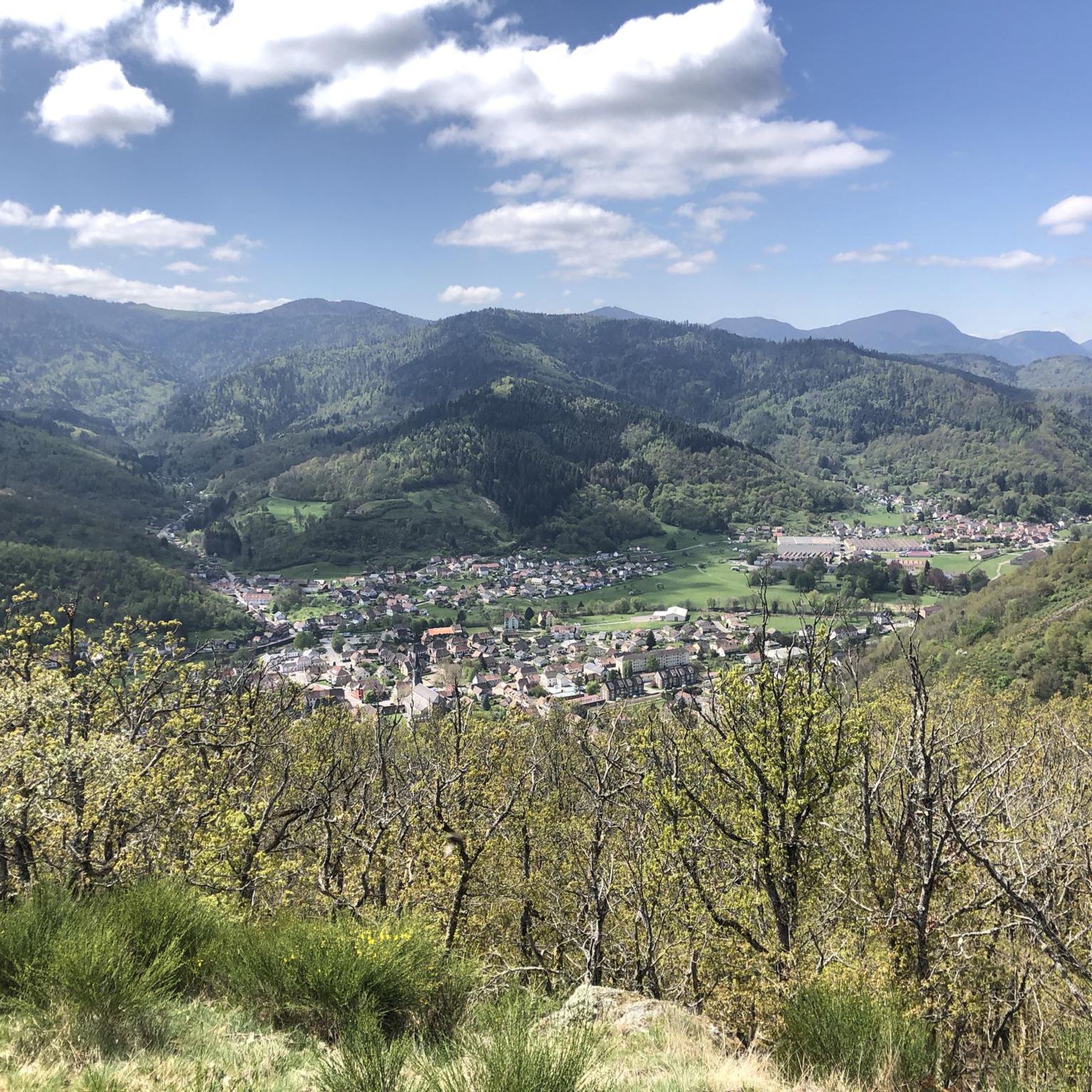
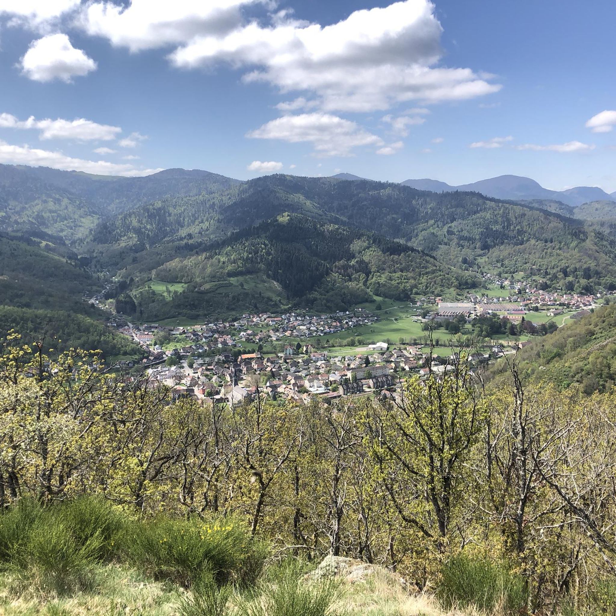
Road cycling routes around Moosch traverse the southern Vosges mountains, characterized by challenging ascents to high passes and descents into verdant valleys. The region features a mix of forested areas, open mountain roads, and routes that follow river courses. Road cyclists encounter significant elevation changes, with many routes leading to panoramic viewpoints.
Best road cycling routes around Moosch
- The most popular road cycling route is Firstplan Pass – Pinot Bend loop from Moosch, a 75.7 miles (121.8 km) trail…
Last updated: October 8, 2026
4.9
(19)
1,875
riders
123km
07:12
3,030m
3,030m
Hard road ride. Very good fitness required. Some segments of this route may be unpaved and difficult to ride.
4.5
(12)
249
riders
47.1km
02:28
620m
620m
Moderate road ride. Good fitness required. Some segments of this route may be unpaved and difficult to ride.

5.0
(9)
274
riders
28.7km
01:51
830m
830m
Moderate road ride. Good fitness required. Some segments of this route may be unpaved and difficult to ride.
4.7
(3)
48
riders
28.0km
01:53
860m
860m
Moderate road ride. Good fitness required. Mostly well-paved surfaces and easy to ride.
4.0
(2)
90
riders
Moderate road ride. Good fitness required. Some segments of this route may be unpaved and difficult to ride.
Get access to more routes and recommendations from other explorers.
Already have an account?
Our route recommendations are based on thousands of hikes, rides, and runs completed by other people on komoot.
Start today with a free account
Your next adventure awaits.






Tips from the Community

The last hairpin bends on the east side of the Grand Ballon are among the most characteristic passages of the climb. Several bends are paved with natural stone (cobblestones and not setts), a reminder of the historic mountain road. Between the steep slopes and the impressive views, these cobblestone bends form a special approach to the highest peak of the Vosges.
6
0
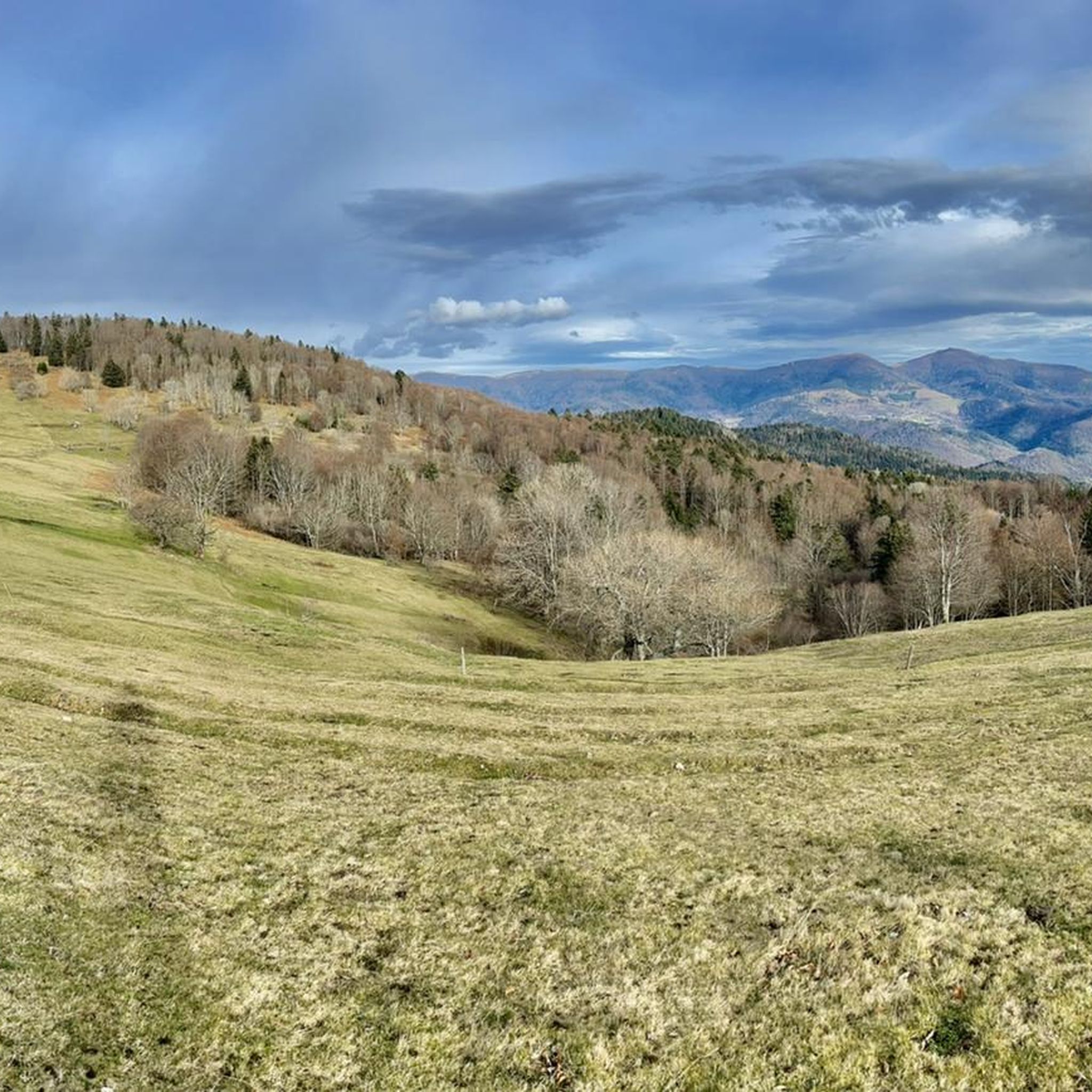
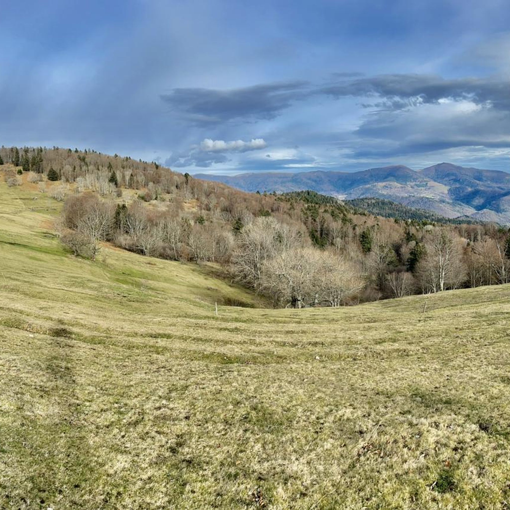
The bare mountain lends itself to beautiful panoramas.
6
0
When you drive from the Route des Crêtes towards Le Grand Ballon, you pass the Col du Haag (1233 m) almost unnoticed. Yet, this pass marks a special point on the southern flank of the highest mountain in the Vosges. Here, steep roads from the Thurdal leave the wooded slopes and reach the open heights of the massif. From the col, a typical Vosges landscape unfolds with mountain meadows, scattered farms, and sweeping views. The proximity of the Grand Ballon is felt everywhere: the imposing summit towers above the pass and forms the natural goal of the final climbing kilometers. For cyclists, the Col du Haag is mainly known as the point where difficult climbs from the valleys converge before the road continues to rise to the highest point of the Vosges.
6
0
Le Markstein (1184 m) is meer dan alleen een kruispunt op de Route des Crêtes. Het is echter een echte bergpas en het hoogste punt van de oversteek tussen het Lauch- en Thurdal. Het ligt in het hart van het Vogezenmassief, midden een populair wintersportgebied dat nauw verbonden is met de Grand Ballon
6
0
Stuwdam Lac de Kruth‑Wildenstein View over the quiet mountain lake on one side, and on the other side the steep, wooded rock face of the Thur valley.
8
0
The Cascade du Bockloch is an atmospheric waterfall in Alsace (Haut-Rhin department), located on the wooded northeastern bank (right bank) of the Kruth-Wildenstein Lake. The waterfall is fed by the Hinterbockloch mountain stream, which originates on the slopes of the nearby Grand Ventron massif. Water plunges here via an abrupt, steep rock face about 12 meters down into a small, photogenic basin, just before it flows into the reservoir.
7
0
Het Meer van Kruth-Wildenstein (Lac de Kruth-Wildenstein) is een prachtig, kunstmatig stuwmeer in de Elzas (departement Haut-Rhin), gelegen op een hoogte van 545 meter aan de voet van de Col d'Oderen. Met een oppervlakte van 81 hectare is dit diepblauwe meer omringd door beboste berghellingen een van de absolute parels van de Vogezen en een ideaal rust- of startpunt voor wielrenners.
6
0

sensational view up to the Alps.
1
0
Frequently Asked Questions
What kind of terrain can I expect when road cycling around Moosch?
Road cycling routes around Moosch traverse the southern Vosges mountains. You can expect challenging ascents to high passes and descents into verdant valleys. The region features a mix of forested areas, open mountain roads, and routes that follow river courses, with significant elevation changes leading to many panoramic viewpoints.
How many road cycling routes are available around Moosch?
There are over 150 road cycling routes available around Moosch, catering to various ability levels. This includes approximately 30 easy routes, 84 moderate routes, and 37 difficult routes.
Are there any easy road cycling routes suitable for beginners in Moosch?
Yes, Moosch offers options for easy road bike trails. While the region is known for its challenging climbs, there are around 30 routes classified as easy. These routes often feature less elevation gain or follow gentler river courses.
What are some challenging road cycling routes for advanced riders in Moosch?
For advanced road cyclists, Moosch provides numerous challenging routes with significant elevation. A notable difficult route is the Firstplan Pass – Pinot Bend loop from Moosch, which covers 75.7 miles (121.8 km) with over 3,000 meters of climbing.
Are there any road cycling routes that include scenic viewpoints or landmarks?
Many routes in Moosch lead to panoramic viewpoints. For instance, the Amic Pass – Climb to Grand Ballon loop from Willer-sur-Thur takes you towards the Grand Ballon summit, offering spectacular views. You can also find routes near the Viewpoint at the summit of Vieil Armand.
What is the best season for road biking in Moosch?
The best season for road biking in Moosch is typically from late spring through early autumn (May to October). During these months, the weather is generally more stable, and the high mountain passes are clear of snow, offering optimal conditions for cycling.
Are there any loop road cycling routes around Moosch?
Yes, many road cycling routes around Moosch are designed as loops. Examples include the Lake Kruth-Wildenstein – Bockloch Waterfall loop from Geishouse, which offers varied terrain, and the Mosch–Geishaus Climb – Haag Pass loop from Willer-sur-Thur.
What do other road cyclists enjoy most about road cycling in Moosch?
The area is highly rated by the komoot community, with an average score of 4.4 stars from over 290 reviews. Cyclists often praise the challenging mountain passes, the scenic beauty of the Vosges, and the variety of routes available for different skill levels.
Are there any routes that pass by historical sites or cultural landmarks?
Yes, some routes offer glimpses of the region's history. For example, the Saint-Thiébaut Collegiate Church – Cernay - Vieux-Thann loop from Willer-sur-Thur passes by the historic Saint-Thiébaut Collegiate Church. The region also has historical sites like the Hartmannswillerkopf National Monument and Military Cemetery nearby.
Are there any road cycling routes that include waterfalls?
Yes, you can find routes that feature natural attractions like waterfalls. The Lake Kruth-Wildenstein – Bockloch Waterfall loop from Geishouse is a moderate path that includes the Bockloch Waterfall, offering a refreshing stop along your ride.
What is the typical duration for road cycling routes in Moosch?
The duration of road cycling routes in Moosch varies significantly based on distance and elevation. Routes can range from shorter rides like the Amic Pass – Climb to Grand Ballon loop from Willer-sur-Thur, which takes about 1 hour 52 minutes, to much longer, more challenging tours such as the Firstplan Pass – Pinot Bend loop from Moosch, which can take over 7 hours.
Most popular attractions around Moosch

Get inspired with the komoot mobile app


Explore more
Browse the best Road cycling routes in other regions.
