The best walks and hikes around Uriménil
4.4
(325)
2,288
hikers
200
hikes
Hiking around Uriménil offers a network of trails through varied terrain. The region is characterized by undulating landscapes, often featuring woodlands and areas around natural water bodies like springs and lakes. Elevation gains are generally moderate, making many routes accessible for different fitness levels. The trails provide opportunities to explore the local natural environment.
Best hiking trails around Uriménil
- The most popular hiking route is La Salière du Loup loop from Épinal, a 7.6 miles (12.2 km) trail that…
Last updated: July 5, 2026
4.6
(8)
49
hikers
12.2km
03:22
210m
210m
Moderate hike. Good fitness required. Easily-accessible paths. Suitable for all skill levels.
4.5
(6)
44
hikers
10.5km
02:56
200m
200m
Moderate hike. Good fitness required. Easily-accessible paths. Suitable for all skill levels.

Sign up for free
4.3
(3)
33
hikers
10.1km
02:48
190m
190m
Moderate hike. Good fitness required. Easily-accessible paths. Suitable for all skill levels.
4.3
(11)
62
hikers
18.2km
05:00
290m
290m
Hard hike. Very good fitness required. Easily-accessible paths. Suitable for all skill levels.
4.4
(7)
23
hikers
6.64km
01:49
110m
110m
Easy hike. Great for any fitness level. Easily-accessible paths. Suitable for all skill levels.
Get access to more routes and recommendations from other explorers.
Sign up for free
Already have an account?
Our route recommendations are based on thousands of hikes, rides, and runs completed by other people on komoot.
Start today with a free account
Your next adventure awaits.
Login or Signup
Tips from the Community

The Poudrière d'Olima (Olima Powder Warehouse) is a historical remnant from 20th-century conflicts, located in the Olima Forest near Chantraine and Épinal in the Vosges Mountains, France.
1
0

Votive cave near Chanteraine. Very pretty.
0
0
Located near Lake Bouzey.
2
0
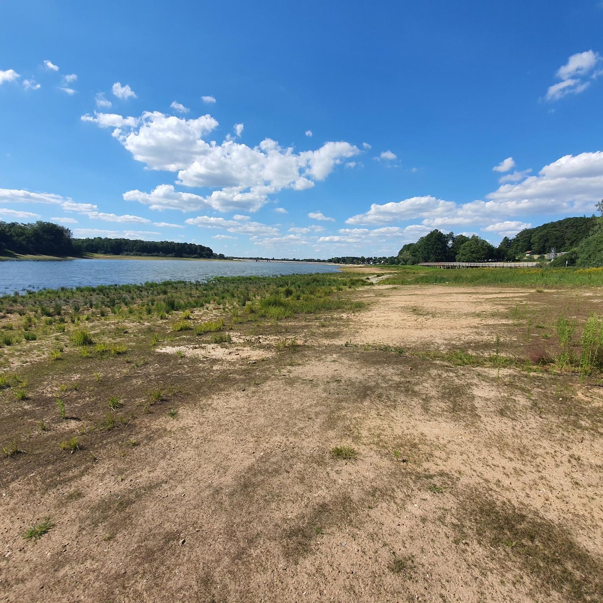
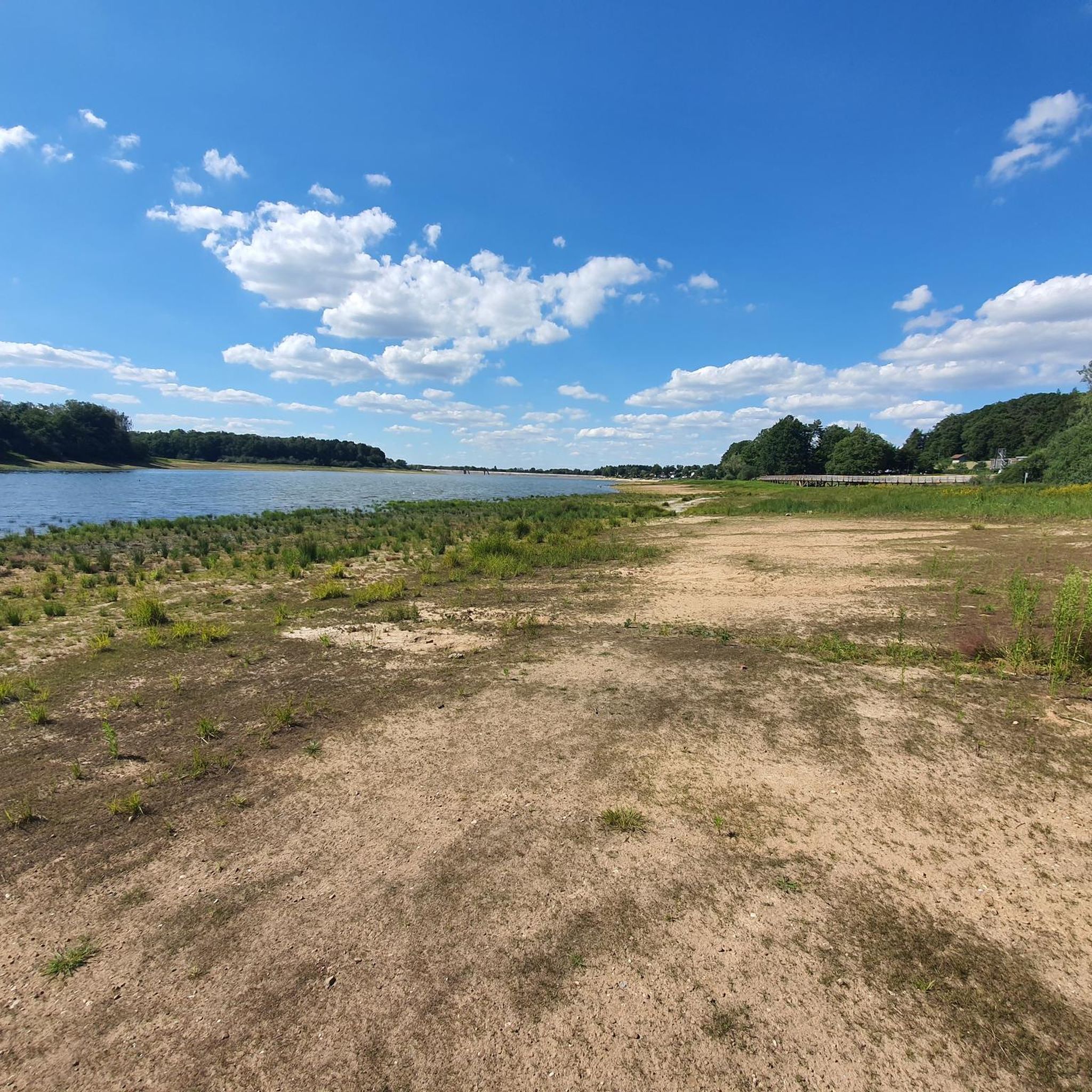
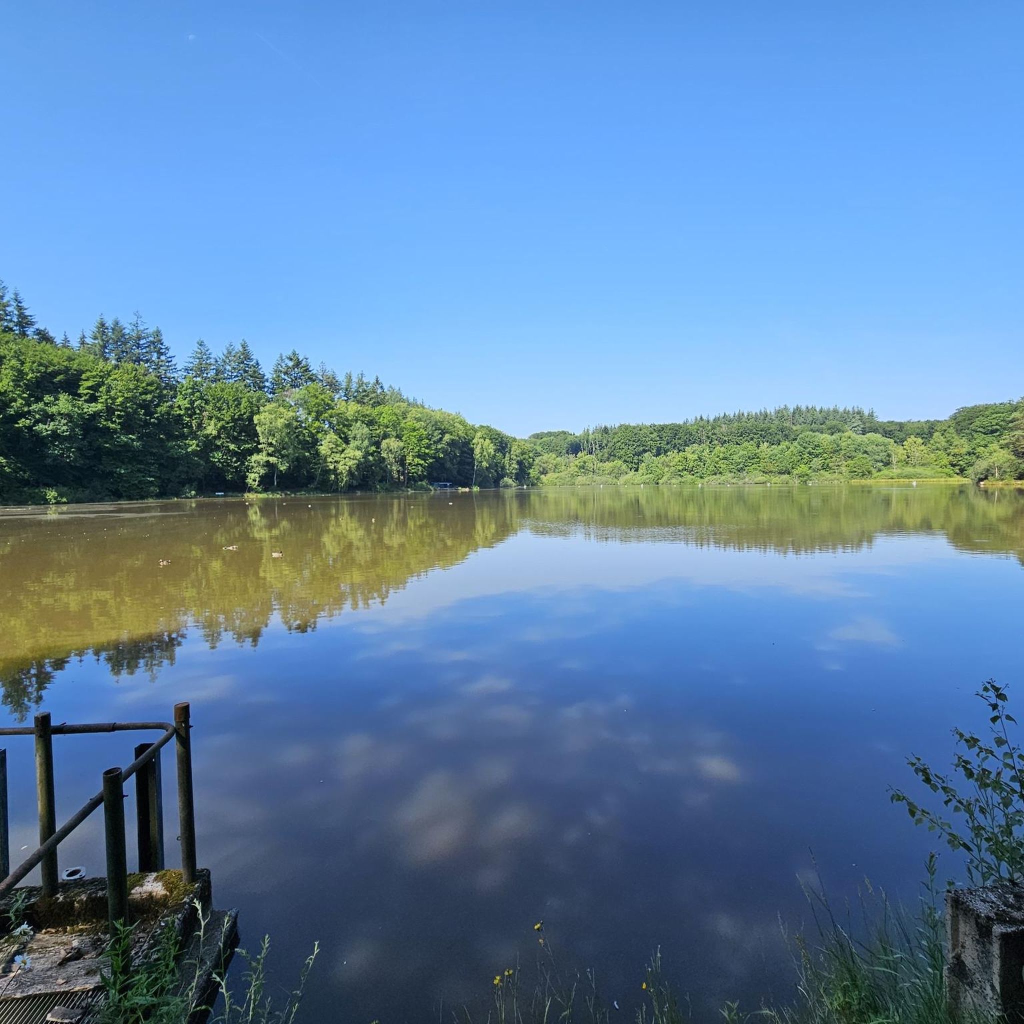
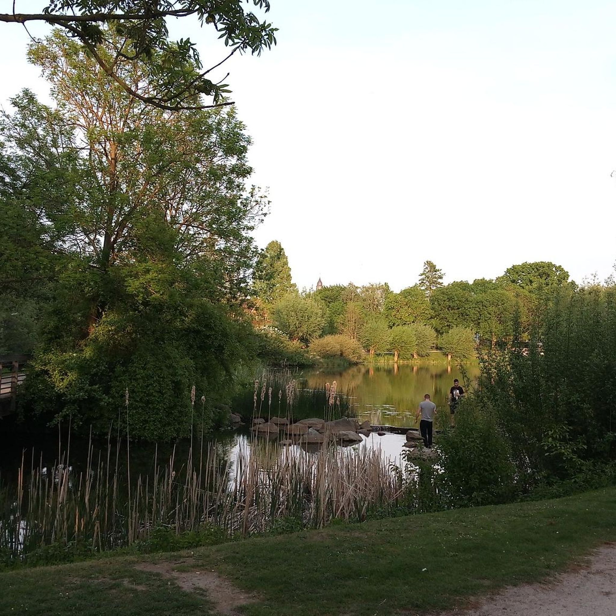
Beautiful lake near Golbey and Epinal. You can walk around it.
2
0


visible from the Bouzey supply canal
1
0

The dam of this lake or reservoir was built between 1874 and 1887 due to the annexation of Alsace-Lorraine. It is a vast body of water where it is good to run on its banks.
4
0
The dam of this lake or reservoir was built between 1874 and 1887 due to the annexation of Alsace-Lorraine. This is a wide body of water and a great hike along its banks.
6
0
Frequently Asked Questions
How many hiking trails are available around Uriménil?
Uriménil offers a wide selection of hiking opportunities, with nearly 200 routes recorded on komoot. These trails traverse varied terrain, including woodlands and areas around natural water bodies, catering to different preferences and fitness levels.
Are there easy hiking trails suitable for beginners or families in Uriménil?
Yes, Uriménil has a good number of easy trails, with almost 100 routes classified as easy. These are perfect for beginners, families, or those looking for a relaxed stroll. An example is the Fontaine de la Couleuvre – Avière Spring loop from Renauvoid, which is 3.7 miles (6.0 km) long and leads through pleasant natural spring areas.
What kind of terrain can I expect on Uriménil's hiking routes?
The hiking routes around Uriménil are characterized by undulating landscapes, often featuring extensive woodlands and trails that follow natural water bodies like springs and lakes. Elevation gains are generally moderate, making the region accessible for a wide range of hikers.
Are there any circular walks or loop trails near Uriménil?
Many of the trails in the Uriménil area are designed as circular routes, offering convenient starting and ending points. For instance, the La Salière du Loup loop from Étang du Bult is a moderate 6.5-mile (10.5 km) option that allows you to explore the local landscape without retracing your steps.
What are some interesting places or landmarks to see while hiking near Uriménil?
While hiking around Uriménil, you can discover several notable attractions. Consider visiting the historic city of Épinal, exploring the impressive Épinal Castle and Park, or admiring the architectural beauty of The Basilica of Saint-Maurice. Natural features like the Sandstone boulders at Les Archettes also offer unique sights.
Are there any challenging hikes for experienced hikers in Uriménil?
While most routes are easy to moderate, Uriménil does offer a few more challenging options for experienced hikers, with 8 routes classified as difficult. These trails typically feature greater elevation changes or longer distances, providing a more strenuous experience.
What do other hikers say about the trails in Uriménil?
The hiking trails in Uriménil are highly regarded by the komoot community, boasting an average rating of 4.4 stars from over 340 reviews. Hikers frequently praise the region's diverse landscapes, well-maintained paths, and the peaceful atmosphere of its woodlands and water features.
Can I find routes that feature lakes or springs in Uriménil?
Yes, the Uriménil region is known for its natural water bodies. Many trails incorporate sections around springs and lakes. For example, the Lake Bouzey – Bouzey loop from Épinal-1 is a longer, moderate route that takes you around the scenic Lake Bouzey.
Are there any specific routes that offer good viewpoints?
While specific named viewpoints are not highlighted, the undulating terrain and forested areas often open up to scenic vistas, particularly along routes with moderate elevation gains. Exploring trails that traverse higher ground will likely offer the best panoramic views of the surrounding landscape.
What is the best time of year to go hiking in Uriménil?
The moderate elevations and varied terrain of Uriménil make it suitable for hiking across multiple seasons. Spring and autumn offer pleasant temperatures and vibrant natural colors, while summer provides longer daylight hours. Winter hiking is also possible, though conditions may vary, especially in forested areas.
Are there any trails that are less crowded in Uriménil?
While some popular routes may see more foot traffic, Uriménil's extensive network of nearly 200 trails means it's often possible to find quieter paths. Exploring some of the less-trafficked, moderate-difficulty routes or venturing out during off-peak hours can lead to a more solitary hiking experience.
Most popular attractions around Uriménil

Get inspired with the komoot mobile app


Explore more
Browse the best Hikes in other regions.
