The best walks and hikes around Bitschhofen
4.4
(901)
4,448
hikers
168
hikes
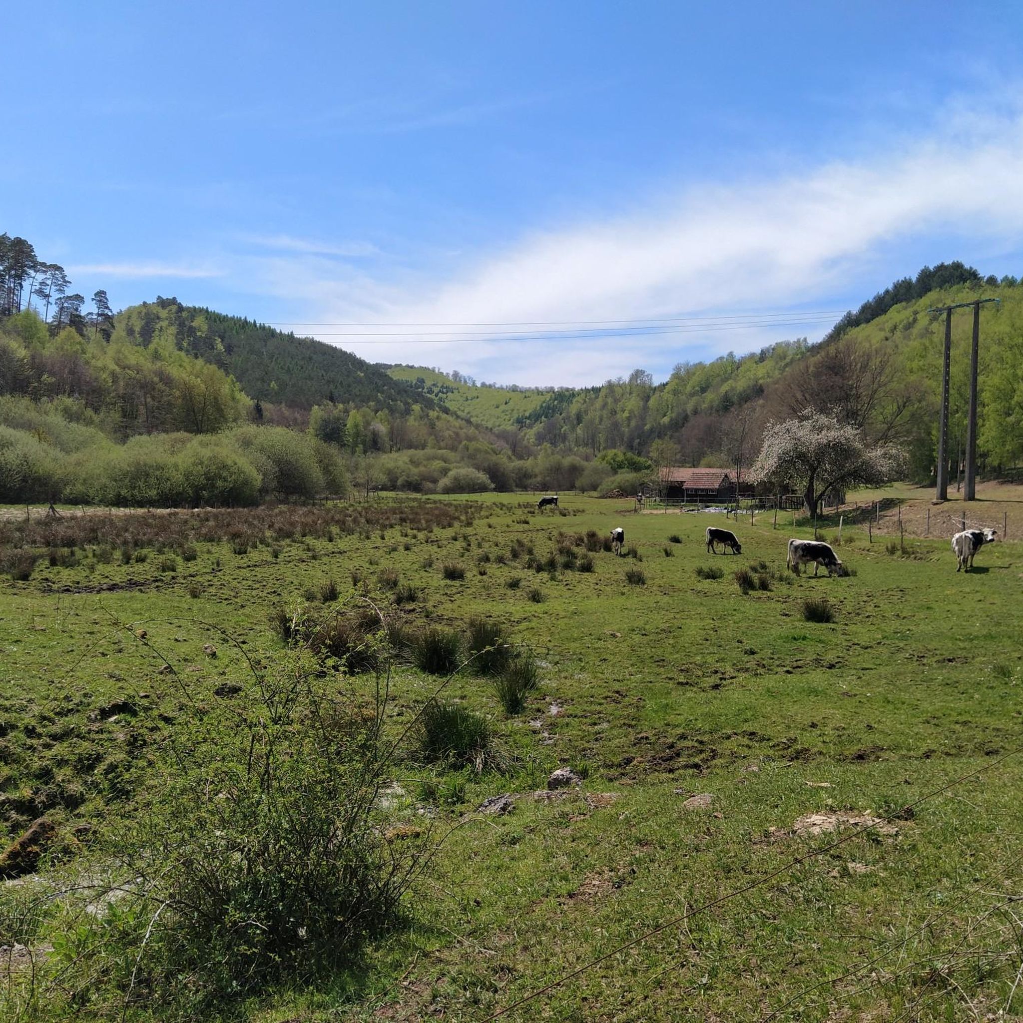
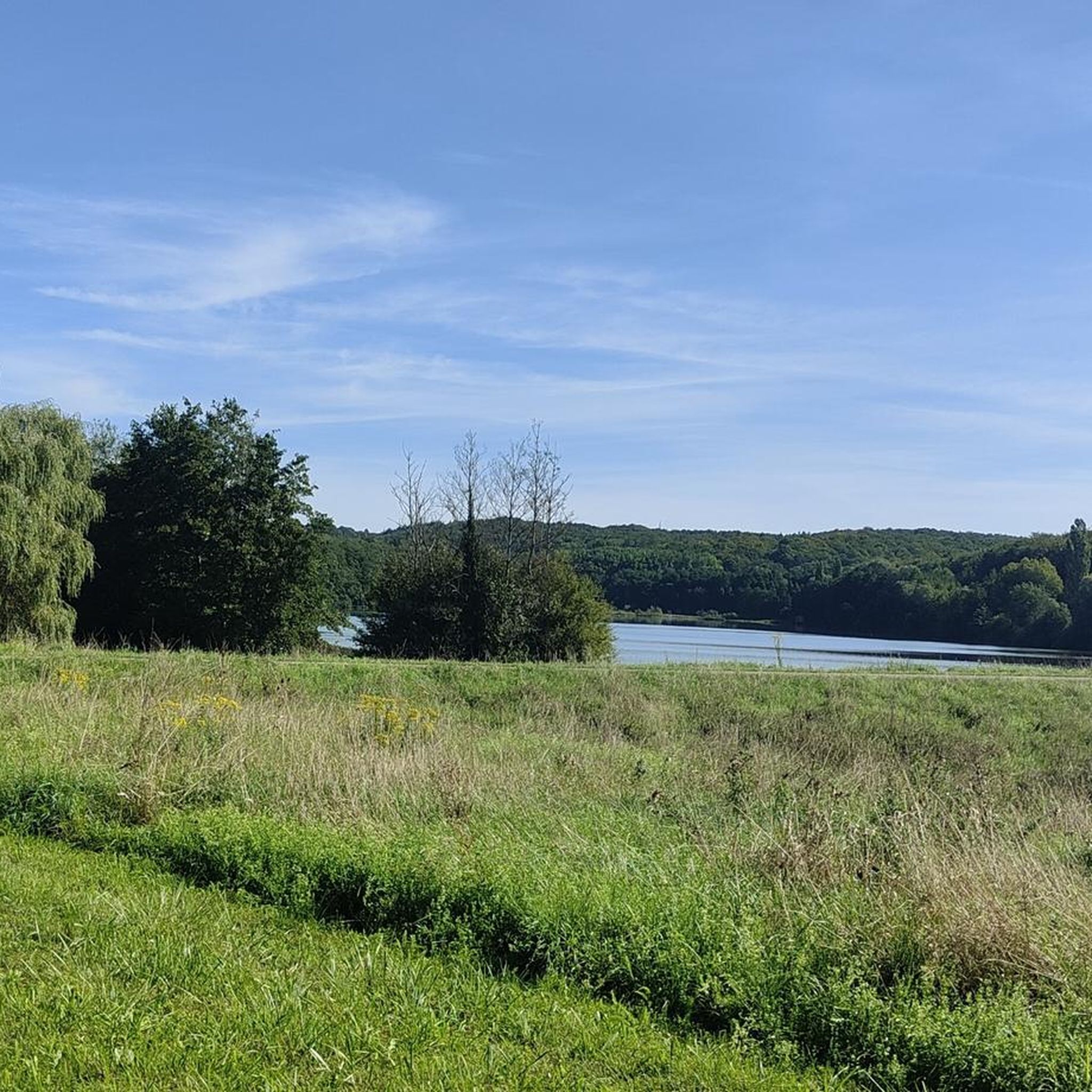
Hiking around Bitschhofen offers a network of trails through varied terrain. The region features gentle hills, often with vineyards, and extends into areas with historical significance. The landscape is characterized by accessible paths connecting local villages and natural features. Elevation gains are generally moderate, making the area suitable for a range of hiking abilities.
Best hiking trails around Bitschhofen
- The most popular hiking route is The Winegrowers' Shelter – Geiersberg loop from Val-de-Moder, a 5.8 miles (9.4 km) trail…
Last updated: July 5, 2026
5.0
(4)
40
hikers
8.05km
02:06
60m
60m
Moderate hike. Good fitness required. Easily-accessible paths. Suitable for all skill levels.
5.0
(1)
37
hikers
9.67km
02:31
70m
70m
Moderate hike. Good fitness required. Easily-accessible paths. Suitable for all skill levels.

Sign up for free
19
hikers
7.85km
02:03
60m
60m
Moderate hike. Good fitness required. Easily-accessible paths. Suitable for all skill levels.
17
hikers
5.81km
01:28
10m
10m
Easy hike. Great for any fitness level. Easily-accessible paths. Suitable for all skill levels.
4.5
(2)
6
hikers
11.0km
03:01
180m
180m
Moderate hike. Good fitness required. Easily-accessible paths. Suitable for all skill levels.
Get access to more routes and recommendations from other explorers.
Sign up for free
Already have an account?
Our route recommendations are based on thousands of hikes, rides, and runs completed by other people on komoot.
Start today with a free account
Your next adventure awaits.
Login or Signup


Tips from the Community

Former train station near Neubourg
0
0

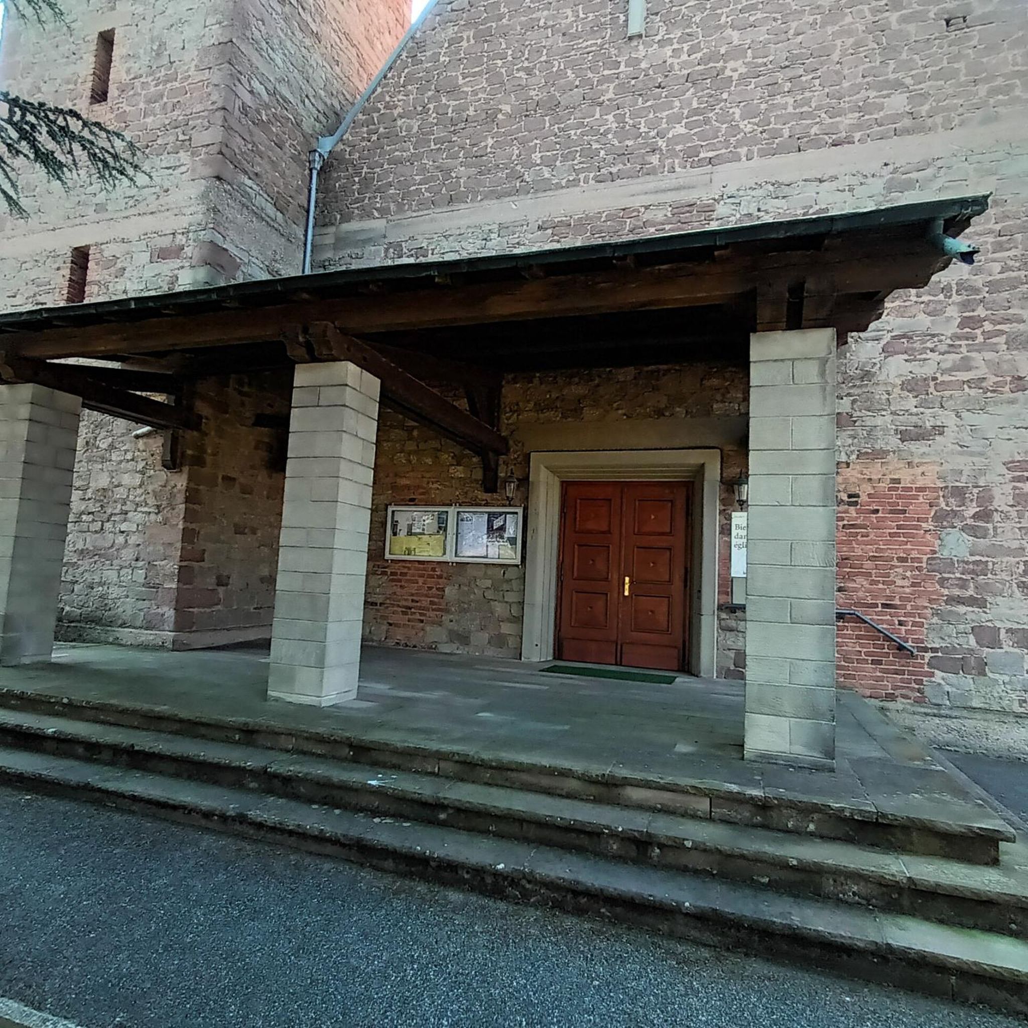
In 1478, a church dedicated to Saint Maurice was built
3
0

an earlier level crossing when the line was still in use. Today more of a city park *lol*
1
0

nice to see how nature reclaims its "soil".
2
0
Easily recognizable from the main path, only a small detour is necessary.
2
0

The history of this statue is closely linked to that of the town. After the Second World War, Bitschhoffen was 95% destroyed and the villagers gathered the courage to rebuild everything. La Promesse, this bronze Alsatian weighing 270 kg and 2.20 m high, recalls this era and the desire of the inhabitants to “revive the village”.
2
1
Urban art or street art is both an artistic movement and a mode of artistic expression, which asserts itself or thus asserts itself from the end of the 20th century.
1
1
Frequently Asked Questions
How many hiking trails are there in Bitschhofen?
There are over 150 hiking routes available around Bitschhofen, offering a wide range of options for different skill levels and preferences. This includes 59 easy routes, 83 moderate routes, and 8 more challenging trails.
What kind of terrain can I expect on the hikes around Bitschhofen?
The region is characterized by gentle hills and accessible paths, often winding through vineyards. You'll find a mix of natural features and areas with historical significance. Elevation gains are generally moderate, making the landscape suitable for various hiking abilities.
Are there easy hiking trails suitable for beginners or families?
Yes, Bitschhofen offers many easy trails. For instance, the The Winegrowers' Shelter loop from Val-de-Moder is an easy 3.3-mile (5.3 km) route that takes about 1 hour 26 minutes to complete, leading through pleasant vineyard landscapes. There are 59 easy routes in total.
Are there circular hiking routes available in Bitschhofen?
Many of the trails around Bitschhofen are designed as circular routes, allowing you to start and end at the same point. An example is the Hiking loop from Bitschhoffen, which is a moderate 5.0-mile (8.1 km) loop.
What interesting sights or landmarks can I see while hiking?
While exploring the trails, you can discover several points of interest. Notable historical sites include Wasenbourg Castle and the Mercury Rock Temple. You might also encounter religious buildings like the Saint John Protestant Church.
What are the typical durations of hikes in the area?
Hikes in Bitschhofen vary in length and duration. You can find shorter walks like the Hiking loop from Uberach, which is 3.6 miles (5.8 km) and takes around 1 hour 28 minutes. Longer routes, such as the The Winegrowers' Shelter – Geiersberg loop from Val-de-Moder, can take about 2 hours 36 minutes for 5.8 miles (9.4 km).
What do other hikers enjoy most about hiking in Bitschhofen?
The hiking trails in Bitschhofen are highly rated by the komoot community, with an average score of 4.4 stars from over 700 reviews. Hikers often praise the varied terrain, which includes gentle hills and vineyard paths, as well as the well-maintained routes connecting local villages.
Is parking available at the trailheads?
While specific parking information for each trailhead isn't detailed, most popular hiking areas in regions like Bitschhofen typically offer designated parking spots near trail access points, especially for routes starting from villages or known attractions.
Can I reach hiking trails around Bitschhofen by public transport?
Public transport options can vary by specific trailhead. It's advisable to check local bus or train schedules for connections to the villages where trails begin, such as Val-de-Moder or Uberach, to plan your access effectively.
Are dogs allowed on the hiking trails?
Generally, dogs are welcome on hiking trails in this region, especially if kept on a leash. However, it's always a good practice to check for any specific local regulations or signage, particularly in nature reserves or protected areas, to ensure a pleasant experience for everyone.
When is the best time of year to hike in Bitschhofen?
Given the presence of vineyards and gentle terrain, spring and autumn are often ideal for hiking in Bitschhofen, offering pleasant temperatures and beautiful scenery. Summer can also be enjoyable, especially in the mornings or late afternoons, while winter hikes might be possible on cleared paths, though conditions can vary.
Most popular routes around Bitschhofen
Most popular attractions around Bitschhofen

Get inspired with the komoot mobile app


Explore more
Browse the best Hikes in other regions.
