The best running trails around Olizy-Sur-Chiers
4.7
(19)
619
runners
74
runs
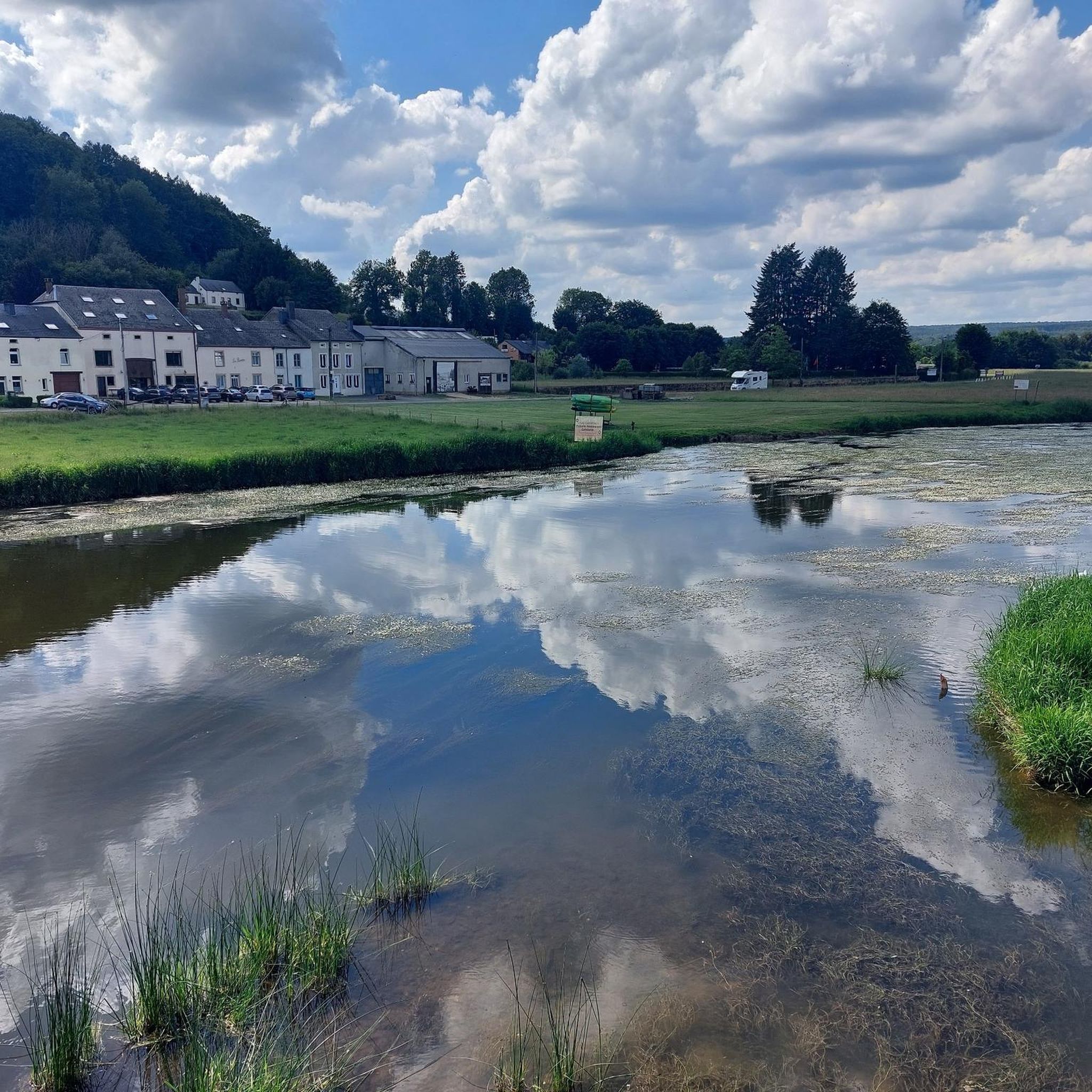
Jogging around Olizy-Sur-Chiers offers varied landscapes for outdoor activity. The region is characterized by significant elevation changes, ranging from 166 to 342 meters, providing diverse terrain for runners. Extensive forests, primarily composed of beech and oak trees, offer shaded running paths. The eastern boundary is defined by the Chiers River, presenting potential riverside running opportunities.
Best jogging routes around Olizy-Sur-Chiers
- The most popular jogging route is Running loop from Villy, a 5.6 miles (9.1 km) trail that takes 56…
Last updated: July 9, 2026
10
runners
9.07km
00:56
20m
20m
Moderate run. Good fitness required. Mostly paved surfaces. Suitable for all skill levels.
8
runners
18.0km
01:52
70m
70m
Hard run. Very good fitness required. Mostly paved surfaces. Suitable for all skill levels.

Sign up for free
4
runners
8.68km
00:54
20m
20m
Moderate run. Good fitness required. Mostly paved surfaces. Suitable for all skill levels.
4
runners
10.1km
01:10
180m
180m
Moderate run. Good fitness required. Mostly paved surfaces. Suitable for all skill levels.
3
runners
8.87km
00:57
110m
110m
Moderate run. Good fitness required. Mostly paved surfaces. Suitable for all skill levels.
Get access to more routes and recommendations from other explorers.
Sign up for free
Already have an account?
Our route recommendations are based on thousands of hikes, rides, and runs completed by other people on komoot.
Start today with a free account
Your next adventure awaits.
Login or Signup


Tips from the Community

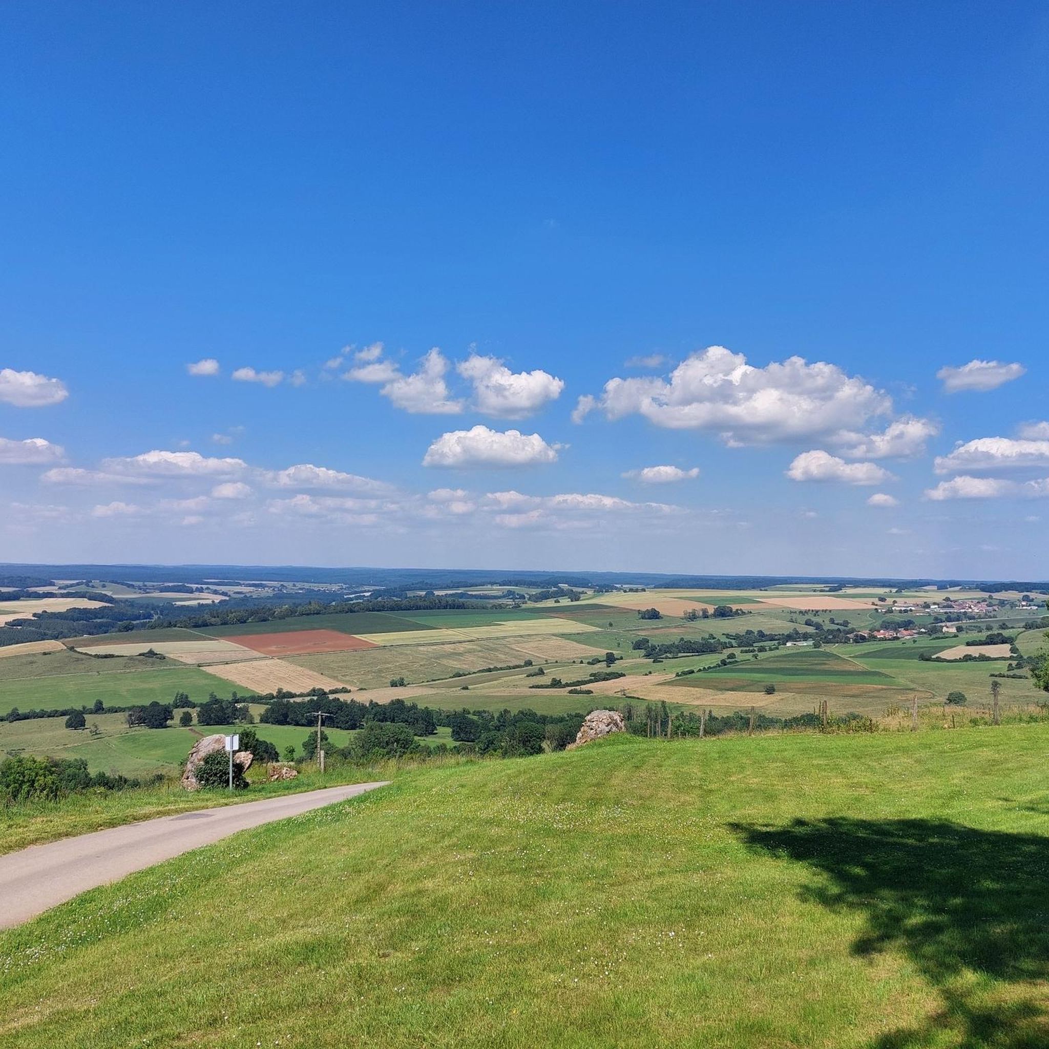
Magnificent view on a clear day. A few minutes of rest is good after this climb++
1
0

Mont Saint-Walfroy was formerly a place of pagan worship, then a hermitage of Saint Walfroy, the apostle of the Ardennes. You will appreciate the panoramic views of the Meuse valley and the surrounding forests, as well as the historical and religious importance of this place. Along the way, you will pass by the Chapelle Saint-Donat, a small chapel dedicated to a local saint.
2
0
Mont Saint-Walfroy was once a place of pagan worship, before being chosen to build the hermitage of Saint-Walfroy, the apostle of the Ardennes. You will appreciate the panoramic views of the Meuse valley and the surrounding forests, as well as the historical and religious importance of this place. Along the way, you will pass by the Chapelle Saint-Donat, a small chapel dedicated to a local saint.
3
0

Mount Saint-Walfroy or hermitage of Saint-Walfroy is a hill in the Ardennes. The summit reaches its peak at 350 meters above sea level. Almost 200 meters lower, the villages are spread out in their valleys, where the rivers meander. To reach Saint-Walfroy you have to climb steep paths. Once at the top, the panorama extends over the Maas and the Ardennes. It is a former place of pagan worship, chosen as a hermitage in the 6th century by Walfroy the Stylite and has since become a place of worship and pilgrimage. This site thus becomes a witness to the vicissitudes of the history of the French Catholic Church and the history of an Ardennes territory, in the immediate vicinity of the border. Source: https://fr.wikipedia.org/wiki/Mont_Saint-Walfroy
2
0

I was pleasantly surprised with the view after the intense climb. The decent (heading north) is quite steep in the first section.
1
0
Frequently Asked Questions
How many running routes are available in Olizy-Sur-Chiers?
There are over 60 running routes around Olizy-Sur-Chiers, offering a wide variety of options for different preferences and fitness levels. These routes are highly rated by the komoot community, with an average score of 4.5 stars.
What makes the running trails in Olizy-Sur-Chiers unique?
The running trails in Olizy-Sur-Chiers are characterized by their varied landscapes, including significant elevation changes ranging from 166 to 342 meters. You'll find extensive forests, primarily composed of beech and oak trees, offering shaded paths, and potential riverside running opportunities along the Chiers river.
Are there easy running routes for beginners in Olizy-Sur-Chiers?
Yes, Olizy-Sur-Chiers offers several easy running routes perfect for beginners or those looking for a relaxed jog. For example, the Running loop from Margut is an easy 2.4-mile (3.8 km) trail that takes about 23 minutes to complete, leading through the local countryside.
Are there challenging running routes for experienced runners?
Absolutely. For experienced runners seeking a challenge, there are difficult routes with more significant elevation gain. A great option is the Running loop from La Ferté-sur-Chiers, an 11.2-mile (18.0 km) path designed for a more demanding workout through the area's varied terrain.
Can I find running paths that go through forests?
Yes, Olizy-Sur-Chiers is rich in forests, with 260 hectares primarily composed of beech and oak trees. Many running routes, especially those in the Ligant and Neudant woods to the west, offer shaded and scenic paths through these woodlands, providing a refreshing experience.
Are there any landmarks or points of interest to see while jogging?
While jogging around Olizy-Sur-Chiers, you can encounter several interesting points. The Mont Saint-Walfroy – Mont Saint-Walfroy loop from Margut route, for instance, takes you near Mont Saint-Walfroy, which offers a viewpoint. Other nearby attractions include historical sites like Abbatiale Notre-Dame de Mouzon and the Fumière Shelter - Historic Eel Pit.
Are the running trails in Olizy-Sur-Chiers suitable for families?
Yes, many of the easier and moderate routes are suitable for families. The varied terrain allows for gentle strolls or more active runs, depending on your family's preference. Consider routes with less elevation change for a more family-friendly experience, such as the Running loop from Margut.
Are the running routes in Olizy-Sur-Chiers dog-friendly?
Most outdoor trails in the Olizy-Sur-Chiers region are generally dog-friendly, especially those through forests and open countryside. It's always a good idea to keep your dog on a leash, especially in areas with wildlife or near roads, and to respect local regulations regarding pets.
Can I find circular running routes in the area?
Yes, many of the running routes around Olizy-Sur-Chiers are designed as circular loops, allowing you to start and finish at the same point. Examples include the popular Running loop from Villy and the Étang de la Gravière loop from Villy.
What kind of wildlife might I encounter on the trails?
The Olizy-Sur-Chiers region is known for its natural scenery and wildlife, particularly within its extensive forests. While jogging, you might spot various bird species, small mammals like deer or foxes, especially during quieter times of the day. Enjoy the natural environment responsibly.
What do other runners enjoy the most about jogging in Olizy-Sur-Chiers?
The area is highly rated by the komoot community, with an average score of 4.5 stars from over 15 reviews. Runners often praise the diverse terrain, the peacefulness of the extensive woodlands, and the variety of routes available for all ability levels. Over 500 runners have used komoot to explore this region.
Most popular routes around Olizy-Sur-Chiers
Most popular attractions around Olizy-Sur-Chiers

Get inspired with the komoot mobile app


Explore more
Browse the best Running Trails & Routes in other regions.
