The best walks and hikes around Les Ageux
4.4
(142)
634
hikers
126
hikes
Hiking around Les Ageux offers a variety of trails through a landscape characterized by gentle hills, woodlands, and historical points of interest. The region features accessible paths suitable for various fitness levels, often leading to scenic viewpoints. Elevation changes are generally moderate, making the area suitable for day hikes.
Best hiking trails around Les Ageux
- The most popular hiking route is Hiking loop from Monceaux, a 5.4 miles (8.7 km) trail that takes about 2 hours 15 minutes to…
Last updated: July 5, 2026
4.3
(6)
10
hikers
9.68km
02:27
20m
20m
Moderate hike. Good fitness required. Easily-accessible paths. Suitable for all skill levels.
4.0
(1)
7
hikers
Moderate hike. Good fitness required. Easily-accessible paths. Suitable for all skill levels.

Sign up for free
4.4
(5)
9
hikers
9.60km
02:26
20m
20m
Moderate hike. Good fitness required. Easily-accessible paths. Suitable for all skill levels.
4.0
(2)
5
hikers
8.73km
02:29
190m
190m
Moderate hike. Good fitness required. Mostly accessible paths. Sure-footedness required.
6
hikers
4.94km
01:15
10m
10m
Easy hike. Great for any fitness level. Easily-accessible paths. Suitable for all skill levels.
Get access to more routes and recommendations from other explorers.
Sign up for free
Already have an account?
Our route recommendations are based on thousands of hikes, rides, and runs completed by other people on komoot.
Start today with a free account
Your next adventure awaits.
Login or Signup


Tips from the Community

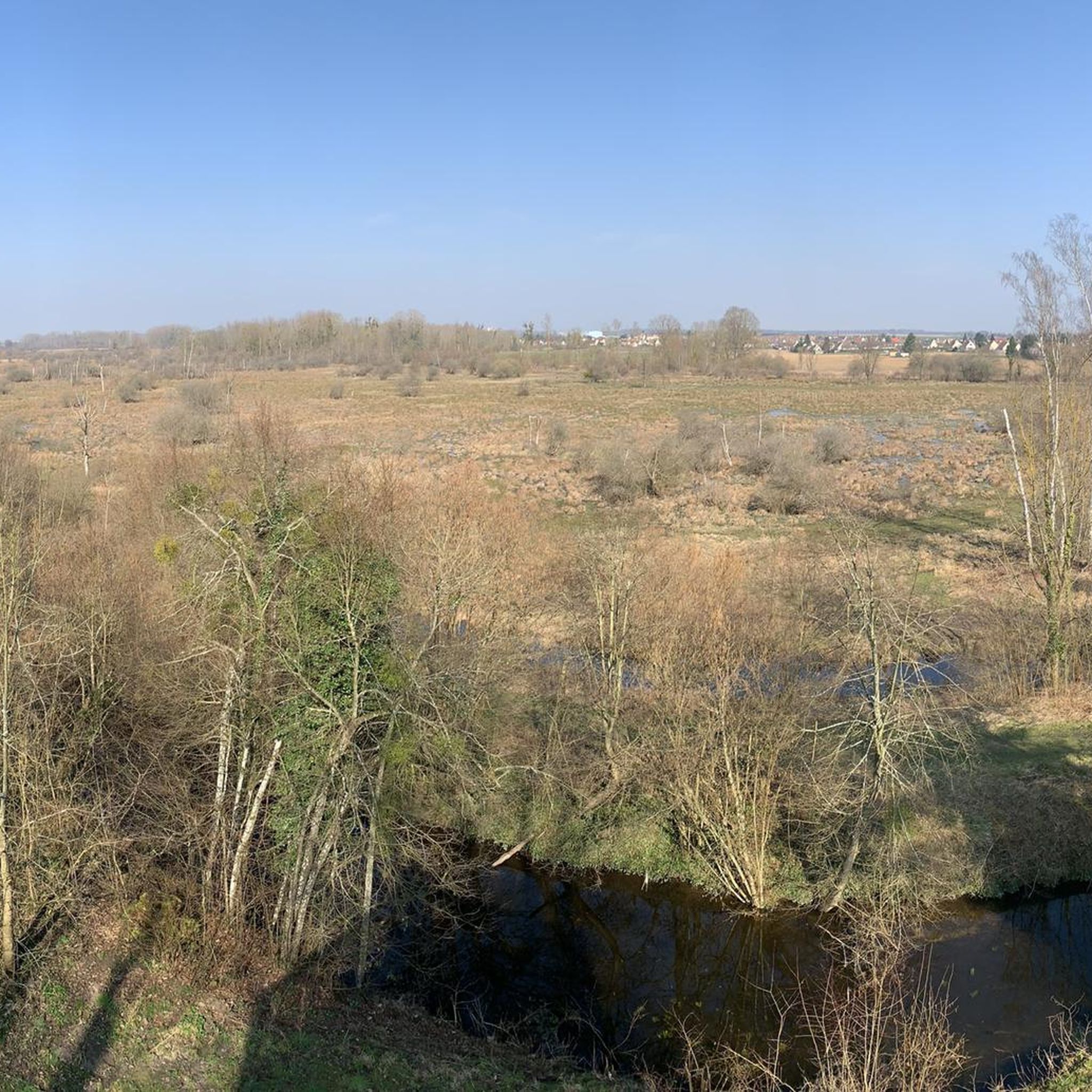
The orientation table that previously existed and the wooden terrace have been removed. The trees have grown, making the view non-existent. Before, on a clear day, it was possible to make out the Eiffel Tower.
1
0

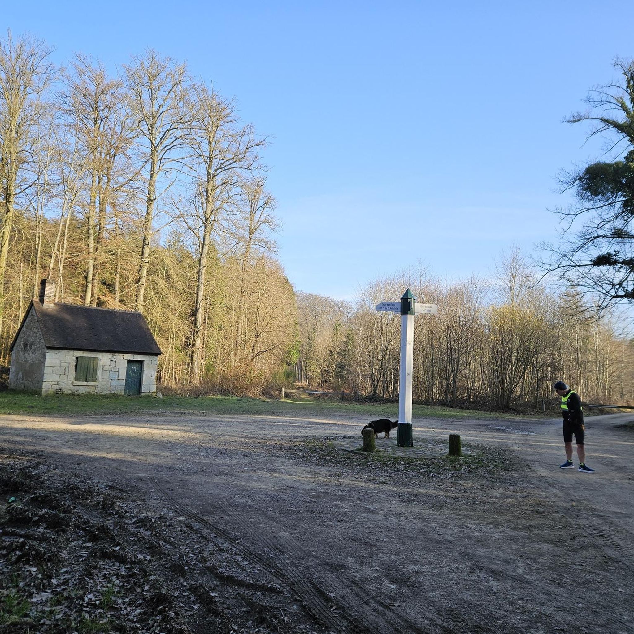
Mont Pagnotte is the highest point in Valois and one of the highest in the Paris region, with an altitude of 222 meters. It was also an ancient Celtic and Gallo-Roman colony, of which you can still see some ruins along the way. The trail passes through the magnificent Halatte forest, where you can appreciate the diversity of trees and wildlife. From the summit of Mont Pagnotte, you can admire a panoramic view of the forest and the surrounding countryside. It's the perfect place for a run to escape the city.
3
0
Mont Pagnotte is the highest point in Valois and one of the highest in the Paris region, with an altitude of 222 meters. It was also an ancient Celtic and Gallo-Roman colony, of which you can still see some ruins along the way. The trail takes you through the magnificent Halatte Forest, where you can appreciate the diversity of trees and wildlife. From the summit of Mont Pagnotte, you can admire a panoramic view of the forest and the surrounding countryside. This is an ideal hike for a family outing or to escape the city.
2
0

Great place I recommend
0
0

Beautiful point of view on the treetops. The panorama is not exceptional but it is the highest point of Valois with 222 m of altitude anyway!
0
0
At the top of Mont Pagnotte, not much to see except an antenna. The best is to go down a few tens of meters lower and take advantage of the observatory.
0
0
Beautiful unobstructed view with a panorama of the treetops. In autumn, it must be nice when the leaves take on orange colors!
0
0

Frequently Asked Questions
How many hiking trails are available around Les Ageux?
There are over 100 hiking trails around Les Ageux, offering a wide range of options for different skill levels. You'll find routes through gentle hills, woodlands, and past historical points of interest.
Are there easy hiking trails suitable for beginners or casual walkers in Les Ageux?
Yes, Les Ageux offers over 40 easy hiking routes. These paths are generally accessible and suitable for those looking for a relaxed walk. A good example is the Royal Abbey of Moncel loop from Pont-Sainte-Maxence, an easy 3.8-mile (6.1 km) trail.
What are the best circular walks in the Les Ageux area?
Many of the trails around Les Ageux are designed as circular routes, allowing you to start and end at the same point. Popular options include the Hiking loop from Monceaux, a moderate 5.4-mile (8.7 km) trail, or the Mont Pagnotte viewpoint loop from Pont-Sainte-Maxence, which is also 5.4 miles (8.7 km).
Are there any family-friendly hiking routes in Les Ageux?
The region's gentle hills and accessible paths make many routes suitable for families. Easy trails, often through woodlands, provide a pleasant experience for all ages. Consider shorter, well-maintained loops for a family outing.
What kind of scenic viewpoints can I find on hikes near Les Ageux?
Several routes lead to scenic viewpoints, offering expansive views of the surrounding landscape. The Mont Pagnotte viewpoint is a notable spot, often incorporated into longer loops like the Mont Pagnotte viewpoint – Boar engraved in stone loop from Pont-Sainte-Maxence.
What interesting landmarks or attractions can I explore along the hiking trails?
The area around Les Ageux is rich in historical sites and natural features. You can discover the Royal Abbey of Moncel, the King of Rome Obelisk, or the ancient Ognon Gallo-Roman temple. Many trails pass by or lead directly to these points of interest.
What is the best time of year to go hiking in Les Ageux?
The region is enjoyable for hiking throughout much of the year. Spring brings blooming flora, while autumn offers beautiful foliage in the woodlands. Summer is pleasant, though it's always wise to check local weather forecasts. Winter hikes are possible, but some paths might be muddy or slippery.
Are there any dog-friendly trails around Les Ageux?
Many of the trails through the woodlands and countryside around Les Ageux are suitable for hiking with dogs. It's always recommended to keep your dog on a leash, especially near wildlife or agricultural areas, and to check for any specific local regulations on individual routes.
How long do hikes typically take in Les Ageux?
Hikes in Les Ageux vary in length and duration. Many popular routes, such as the Hiking loop from Monceaux, take around 2 to 2.5 hours to complete. Longer options, like the Napoleon Obelisk – Mont Pagnotte viewpoint loop from Pont-Sainte-Maxence, can take over 3.5 hours.
What do other hikers enjoy most about the trails in Les Ageux?
The hiking trails around Les Ageux are highly rated by the komoot community, with an average score of 4.5 stars. Reviewers often praise the varied terrain, the peaceful woodlands, and the well-maintained paths that lead to scenic viewpoints and historical sites.
Are there options for longer, more challenging hikes in the area?
While many trails are moderate, there are options for longer hikes if you're looking for more of a challenge. For instance, the Napoleon Obelisk – Mont Pagnotte viewpoint loop from Pont-Sainte-Maxence covers 8.5 miles (13.8 km) and includes more elevation gain, offering a more strenuous experience.
Most popular routes around Les Ageux
Most popular attractions around Les Ageux

Get inspired with the komoot mobile app


Explore more
Browse the best Hikes in other regions.
