The best MTB trails around Geishausen
4.4
(619)
4,740
riders
232
rides
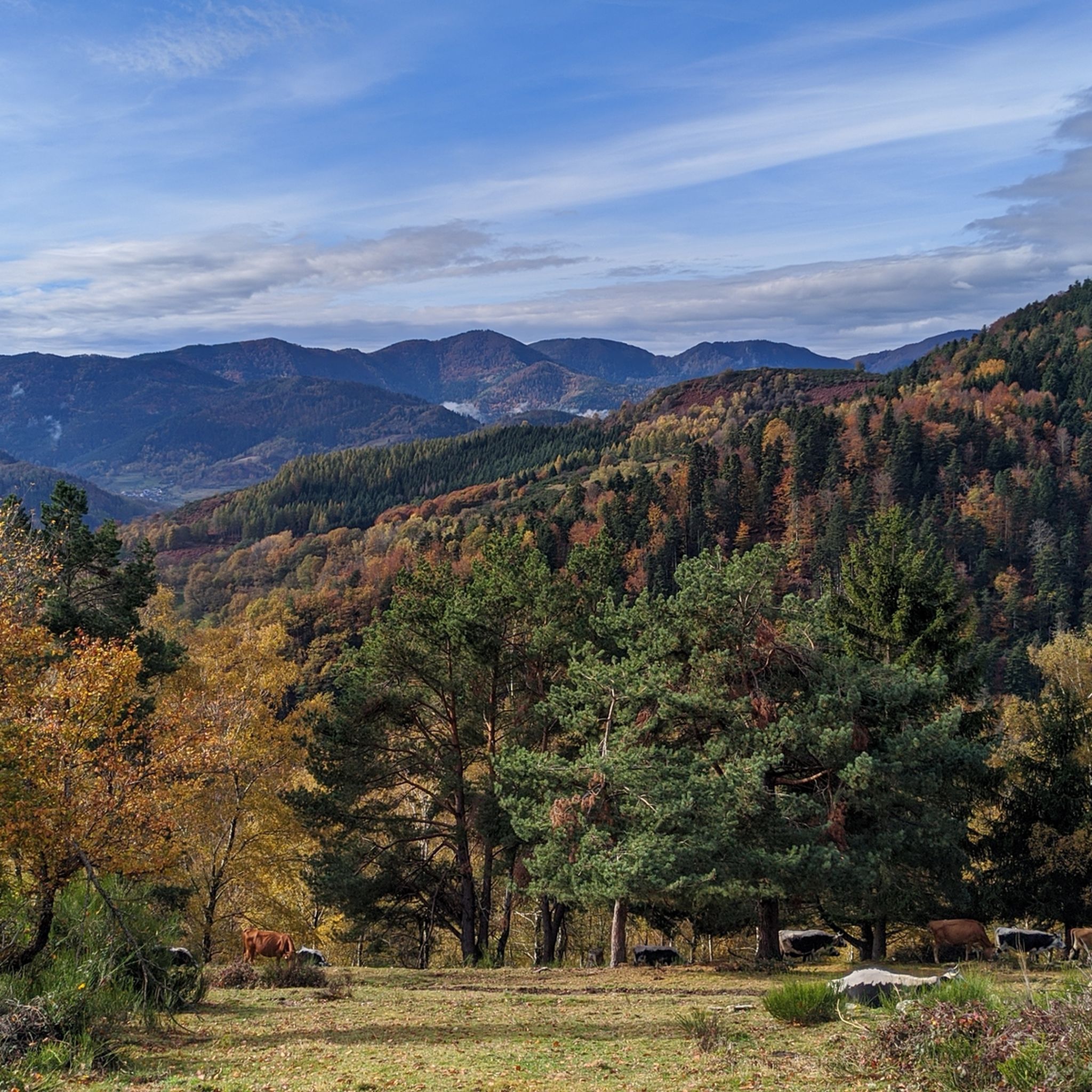
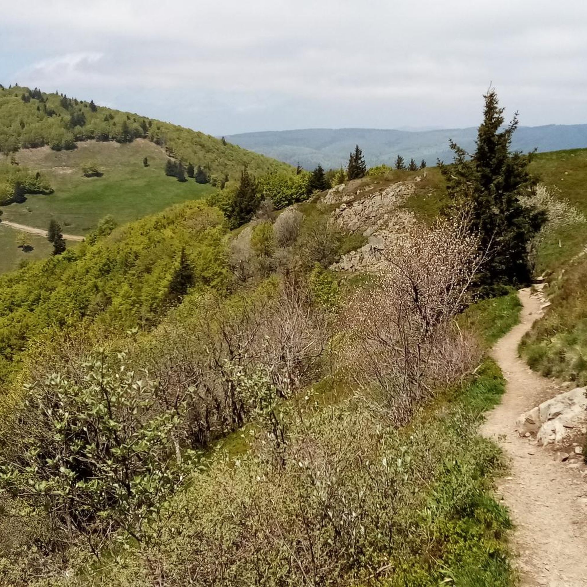
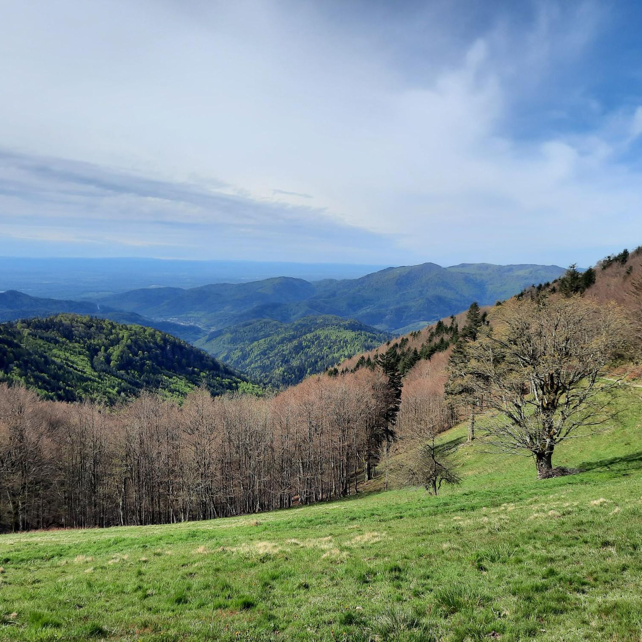
Mountain biking around Geishausen offers a diverse landscape suitable for various skill levels. The region features varied terrain, from gentle hills to challenging climbs, providing an engaging experience for mountain bikers. This area is characterized by its natural beauty and diverse topography. The landscape includes both forested sections and open areas, contributing to a varied riding environment.
Best mountain bike trails around Geishausen
- The most popular mountain bike trail is Fontaine Schlumberger – Chapel in the woods loop from Saint-Amarin…
Last updated: October 8, 2026
4.0
(4)
99
riders
49.1km
05:05
1,620m
1,620m
Hard mountain bike ride. Very good fitness required. Advanced riding skills necessary.
4.6
(11)
86
riders
26.1km
03:01
1,040m
1,040m
Hard mountain bike ride. Very good fitness required. Advanced riding skills necessary.

4.5
(8)
45
riders
35.2km
03:43
1,200m
1,200m
Hard mountain bike ride. Very good fitness required. Advanced riding skills necessary.
4.5
(4)
22
riders
52.9km
04:56
1,300m
1,300m
Hard mountain bike ride. Very good fitness required. Advanced riding skills necessary.
4.0
(2)
169
riders
43.5km
05:18
1,810m
1,810m
Hard mountain bike ride. Very good fitness required. Advanced riding skills necessary. Some portions of the route may require you to push your bike.
Get access to more routes and recommendations from other explorers.
Already have an account?
Our route recommendations are based on thousands of hikes, rides, and runs completed by other people on komoot.
Start today with a free account
Your next adventure awaits.

Other adventures around Geishausen

Tips from the Community

Le Grand Ballon (1325 m) forms the highest point of the Vosges mountains and is one of the most famous destinations for cyclists in the mountain range. Although the summit itself is slightly higher (1424 m), the mountain pass is located at an altitude of approximately 1325 meters on the side of the Route des Crêtes. From here, vast panoramas open up over the Vosges, the Alsace plain, and on clear days even as far as the Black Forest and the Alps. For cyclists, Le Grand Ballon is a legendary climb. Long and often challenging ascents lead from the various valleys to this iconic mountain. The final kilometers above the tree line offer an impressive scenery of mountain meadows, rocky outcrops, and expansive vistas.
6
0
The Ferme-Auberge du Haag is a traditional mountain inn located near the Col du Haag (1233 m), at the foot of the Grand Ballon. For generations, the farms on the higher Vosges ridges have been welcoming hikers, cyclists, and winter sports enthusiasts. The Haag farm is situated in the middle of mountain pastures, with a beautiful view over the southern Vosges and the Grand Ballon.
6
0
When you drive from the Route des Crêtes towards Le Grand Ballon, you pass the Col du Haag (1233 m) almost unnoticed. Yet, this pass marks a special point on the southern flank of the highest mountain in the Vosges. Here, steep roads from the Thurdal leave the wooded slopes and reach the open heights of the massif. From the col, a typical Vosges landscape unfolds with mountain meadows, scattered farms, and sweeping views. The proximity of the Grand Ballon is felt everywhere: the imposing summit towers above the pass and forms the natural goal of the final climbing kilometers. For cyclists, the Col du Haag is mainly known as the point where difficult climbs from the valleys converge before the road continues to rise to the highest point of the Vosges.
6
0

Charging possibility for e-bikes, although the place was closed, the farmer let me charge. (Thank you very much)
0
0

Small shelter with 3 picnic tables next to it
0
0

Should be climbed sometime
2
0

The Tour de France passed through there on July 18, 2026.
1
0
Frequently Asked Questions
How many mountain bike trails are available around Geishausen?
There are over 220 mountain bike trails around Geishausen, offering a diverse range of options for all skill levels. This includes 21 easy, 112 moderate, and 96 difficult routes.
What kind of terrain can I expect on mountain bike trails near Geishausen?
The region around Geishausen offers varied terrain, from gentle hills suitable for beginners to steep climbs that challenge advanced riders. You'll find diverse landscapes, including forested sections, open areas, and routes along natural features like the Ulster River, nestled between the Thuringian Forest and the Rhön Mountains.
Are there any challenging mountain bike trails for experienced riders?
Yes, Geishausen offers numerous challenging trails. For instance, the Fontaine Schlumberger – Chapel in the woods loop from Saint-Amarin is a difficult 30.1-mile (48.4 km) trail with significant elevation gain through forested areas. Another demanding option is the Grand Ballon – Grand Ballon loop from Moosch, a 14.8-mile (23.9 km) path with substantial climbs and descents offering panoramic views.
What is the best time of year for mountain biking in Geishausen?
The optimal season for mountain biking in Geishausen is from May to October. During these months, temperatures are mild, and nature is in full bloom, providing the most enjoyable conditions for exploring the trails.
Are there any circular mountain bike routes in the area?
Many of the mountain bike routes around Geishausen are designed as loops. For example, the Grand Ballon – Munsteraeckerle Shelter loop from Col du Grand Ballon is a 21.8-mile (35.2 km) circular trail through mountainous terrain.
What are some scenic mountain bike trails with good viewpoints?
Trails in the region often offer rewarding views, especially those with significant climbs. The Grand Ballon – Grand Ballon loop from Moosch is known for its panoramic vistas. Additionally, the nearby Hohe Geba Mountain provides opportunities for challenging climbs with rewarding views.
Are there any waterfalls I can visit along the mountain bike trails?
Yes, there are several beautiful waterfalls in the vicinity that you might encounter or detour to. Notable ones include the Siehlbaechle Waterfall, Bubalafels Waterfall, and Kletterbach Waterfall.
Are there any places to stop for refreshments or shelter along the routes?
Yes, you can find huts and cabins that offer opportunities for rest or refreshments. Consider stopping at places like the Kahlenwasen Farm Inn or the Grand Ballon Chalet Hotel, which are popular spots in the area.
What do other mountain bikers say about the trails in Geishausen?
The mountain bike routes in Geishausen are highly rated by the komoot community, with an average score of 4.5 stars from over 500 reviews. Riders often praise the varied terrain, well-marked routes, and the engaging experience for all skill levels.
Are there any very long mountain bike routes for endurance riders?
For endurance riders, the Zeller Canteen – Saint-Thiébaut Collegiate Church loop from Saint-Amarin is a substantial 33.4-mile (53.7 km) route. Another long option is the View of the Dam on Lake Kruth – Lake Kruth-Wildenstein loop from Grand Ballon, covering 31.2 miles (50.3 km) with significant elevation changes.
Are the mountain bike trails around Geishausen well-marked?
Yes, the region around Geishausen boasts numerous well-marked mountain biking routes. This allows both beginners and experienced riders to navigate safely and fully enjoy the natural beauty of the area.
Most popular routes around Geishausen
Most popular attractions around Geishausen

Get inspired with the komoot mobile app


Explore more
Browse the best MTB trails in other regions.
