The best road cycling routes around Willern
4.4
(96)
1,728
riders
132
rides
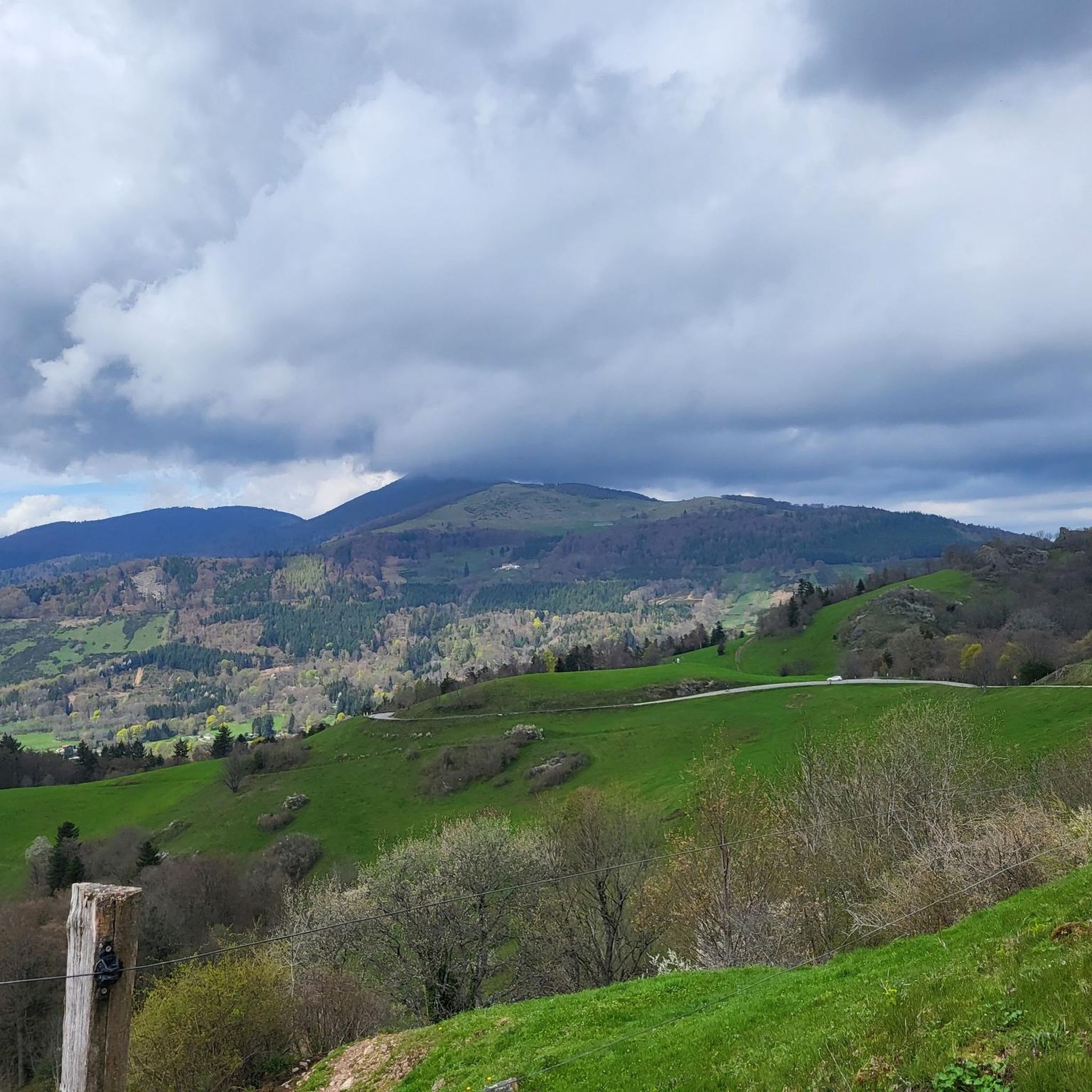
Road cycling routes around Willern feature varied terrain, with routes originating from Montreux-Vieux. The area includes paths with moderate elevation gains, suggesting a landscape of rolling hills and some more significant ascents. Distances for road cycling routes range from approximately 30 to 70 miles, indicating options for both shorter rides and longer endurance challenges. The region's routes traverse a mix of open roads and potentially more secluded areas, suitable for road cyclists.
Best road cycling routes around Willern
- The most…
Last updated: October 6, 2026
4.8
(4)
51
riders
53.8km
02:11
250m
250m
Moderate road ride. Good fitness required. Some segments of this route may be unpaved and difficult to ride.
31
riders
64.4km
02:35
350m
350m
Moderate road ride. Good fitness required. Mostly well-paved surfaces and easy to ride.

4.5
(2)
31
riders
37.5km
01:34
250m
250m
Easy road ride. Great for any fitness level. Mostly well-paved surfaces and easy to ride.
25
riders
Moderate road ride. Good fitness required. Some segments of this route may be unpaved and difficult to ride.
23
riders
13.0km
00:34
80m
80m
Easy road ride. Great for any fitness level. Mostly well-paved surfaces and easy to ride.
Get access to more routes and recommendations from other explorers.
Already have an account?
Our route recommendations are based on thousands of hikes, rides, and runs completed by other people on komoot.
Start today with a free account
Your next adventure awaits.



Tips from the Community

The cycle path along the canal is superbly maintained and runs through beautiful countryside. However, the starting and finishing points near Bourgogne and Bretagne raise geographical questions as to whether one is still truly in Alsace...
0
0
At the start of the long Voie Vert route on the former railway line between Dannemarie and Pfetterhouse, you'll also find the Dannemarie town sign with a small statue. From here, keep left until you reach the actual cycle path.
0
0

Every lock along the route provides for an unusual background and a good memory of your bike trip. A lot of these locks have a bridge going over them, take the time to branch off the bridge and discover some of the nice villages along the canal.
0
0
The French and European National Cycleway is a great cycleway winding along side of the Rhine Rhone Canal with very little climbing, for those who do not like to climb. However those who are climbing shy, must be aware of the wind in this area. A lot of the locks still have the former lock man’s house which adds a bit of charm to every lock. One is never alone on this route as there is a constant passing of bicycles, both leisure and racing bikes.
0
0
The Rhine Rhone Cycleway is part of the National French and European Cycleway. This stretch of the cycleway has excellent smooth asphalted pavement. There are some nice restaurants and cafés along the way which are sometimes hidden but can easily be found on the map.
1
0

There are also toilets and a water point
0
0

The Écluse d’Eglingen is a small, active lock on the Canal du Rhône au Rhin, near the village of Eglingen in the Sundgau region. This spot is popular with cyclists due to its quiet location along the 'EuroVelo 6' and regional cycle routes. The lock is surrounded by greenery and offers a bench and shade, but no facilities.
9
0

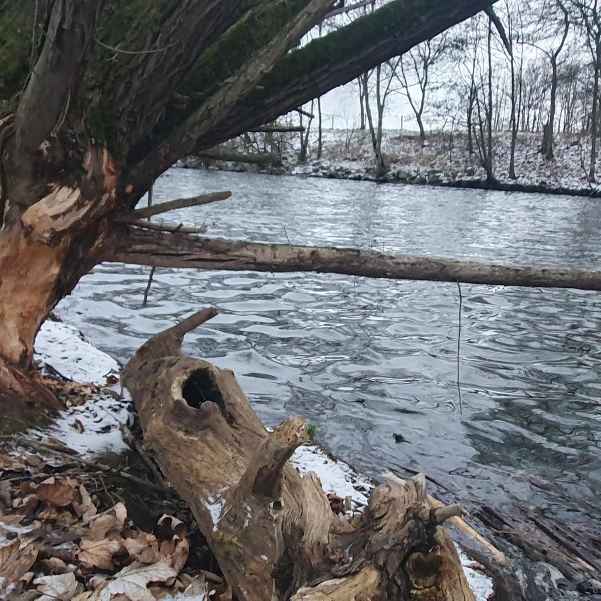
I noticed this highlight during my search. However, it is not on the Haute Saône Canal but on an independent river, the Savoureuse. According to Wikipedia: The Savoureuse is a right tributary of the Allan, around 41 kilometers long, in the French department of Territoire de Belfort in the Bourgogne-Franche-Comté region. It flows through the city of Belfort and drains the western part of the department to the Mediterranean via the Allan, Doubs, Saône and Rhône water system. The Savoureuse catchment area covers an area of around 225 km². The river name comes from the Patois expression savour (saw). https://de.m.wikipedia.org/wiki/Savoureuse
2
0
Frequently Asked Questions
How many road cycling routes are available around Willern?
There are over 110 road cycling routes around Willern, offering a wide range of options for cyclists. These routes are highly rated by the komoot community, with an average score of 4.5 stars.
What kind of terrain can I expect on road cycling routes around Willern?
Road cycling routes around Willern feature varied terrain, including paths with moderate elevation gains and some more significant ascents. You can expect a landscape of rolling hills, with routes traversing a mix of open roads and potentially more secluded areas.
Are there road cycling routes suitable for beginners or less experienced cyclists?
Yes, Willern offers routes for various ability levels. Out of the 114 available routes, 39 are classified as easy, making them suitable for beginners or those looking for a more relaxed ride. Additionally, 61 routes are moderate, and 14 are difficult.
What are some notable landmarks or attractions I might see along the road cycling routes?
Many routes offer scenic views and pass by interesting points. For instance, the Écluse Muehlenmatten – Eglingen Lock loop from Montreux-Vieux passes by the Eglingen Lock. Other attractions in the broader area include the Port of Dannemarie and the Valdieu-Lutran lock scale.
Are there any circular road cycling routes around Willern?
Yes, many of the road cycling routes around Willern are designed as loops. For example, the Memorial to the fallen 🕊️ – Place d'Armes, Belfort loop from Montreux-Vieux and the Camping du Lac Seigneurerie – Seigneurie Lake loop from Montreux-Vieux are popular circular options.
What distances do the road cycling routes cover?
The road cycling routes around Willern vary significantly in length. You can find options ranging from approximately 30 miles (48 km) for shorter rides, such as the Camping du Lac Seigneurerie – Seigneurie Lake loop from Montreux-Vieux, to longer endurance challenges like the Eglingen Lock – Kiffis <> Wollschwiller loop from Montreux-Vieux, which is over 70 miles (113 km).
What do other road cyclists say about the routes in Willern?
The road cycling routes in Willern are highly regarded by the komoot community, holding an impressive average rating of 4.5 stars from over 80 reviews. More than 2,000 road cyclists have explored the area, often praising the varied terrain and the options available for different skill levels.
Are there any routes that pass by lakes or water features?
Yes, some routes offer views of local water bodies. The Camping du Lac Seigneurerie – Seigneurie Lake loop from Montreux-Vieux leads through areas near Seigneurie Lake. Other nearby lakes and ponds include Étang La Belle Île and Füllhorn Pond.
Where do many of the road cycling routes typically start from?
Many of the road cycling routes around Willern originate from Montreux-Vieux, serving as a common starting point for exploring the region's diverse cycling landscape.
Are there any challenging road cycling routes for experienced riders?
Absolutely. For experienced riders seeking a challenge, there are 14 difficult routes available. An example is the Eglingen Lock – Kiffis <> Wollschwiller loop from Montreux-Vieux, which covers over 70 miles (113 km) with significant elevation gain.
Can I find routes that offer a mix of moderate climbs and longer distances?
Yes, road cycling around Willern is characterized by routes with varying elevation profiles, including moderate climbs and longer distances. This allows cyclists to choose routes that match their desired intensity and endurance, such as the Hundsruck – Roading - Guewenheim loop from Montreux-Vieux.
Most popular attractions around Willern

Get inspired with the komoot mobile app


Explore more
Browse the best Road cycling routes in other regions.
