The best running trails around Natzweiler
4.3
(120)
5,432
runners
309
runs
Jogging around Natzweiler offers a diverse landscape for runners. The region features varied terrain, including forested paths, hills, and routes leading to waterfalls and notable natural formations. Elevations range from gentle inclines to more challenging ascents, providing options for different fitness levels. Many routes are circular, making them convenient for those looking for jogging routes Natzweiler with parking.
Best jogging routes around Natzweiler
- The most popular jogging route is Cascade de la Serva Parking loop from Natzwiller, a 4.0…
Last updated: July 5, 2026
18
runners
7.12km
00:49
160m
160m
Moderate run. Good fitness required. Mostly paved surfaces. Suitable for all skill levels.
17
runners
14.3km
02:02
640m
640m
Hard run. Very good fitness required. Mostly paved surfaces. Suitable for all skill levels.

Sign up for free
12
runners
6.82km
00:50
220m
220m
Moderate run. Good fitness required. Mostly paved surfaces. Suitable for all skill levels.
9
runners
47.2km
06:13
1,730m
1,730m
Hard run. Very good fitness required. Sure-footedness, sturdy shoes and alpine experience required.
7
runners
25.8km
03:24
890m
890m
Hard run. Very good fitness required. Mostly paved surfaces. Suitable for all skill levels.
Get access to more routes and recommendations from other explorers.
Sign up for free
Already have an account?
Our route recommendations are based on thousands of hikes, rides, and runs completed by other people on komoot.
Start today with a free account
Your next adventure awaits.
Login or Signup

Tips from the Community

To never forget .🙏
0
0

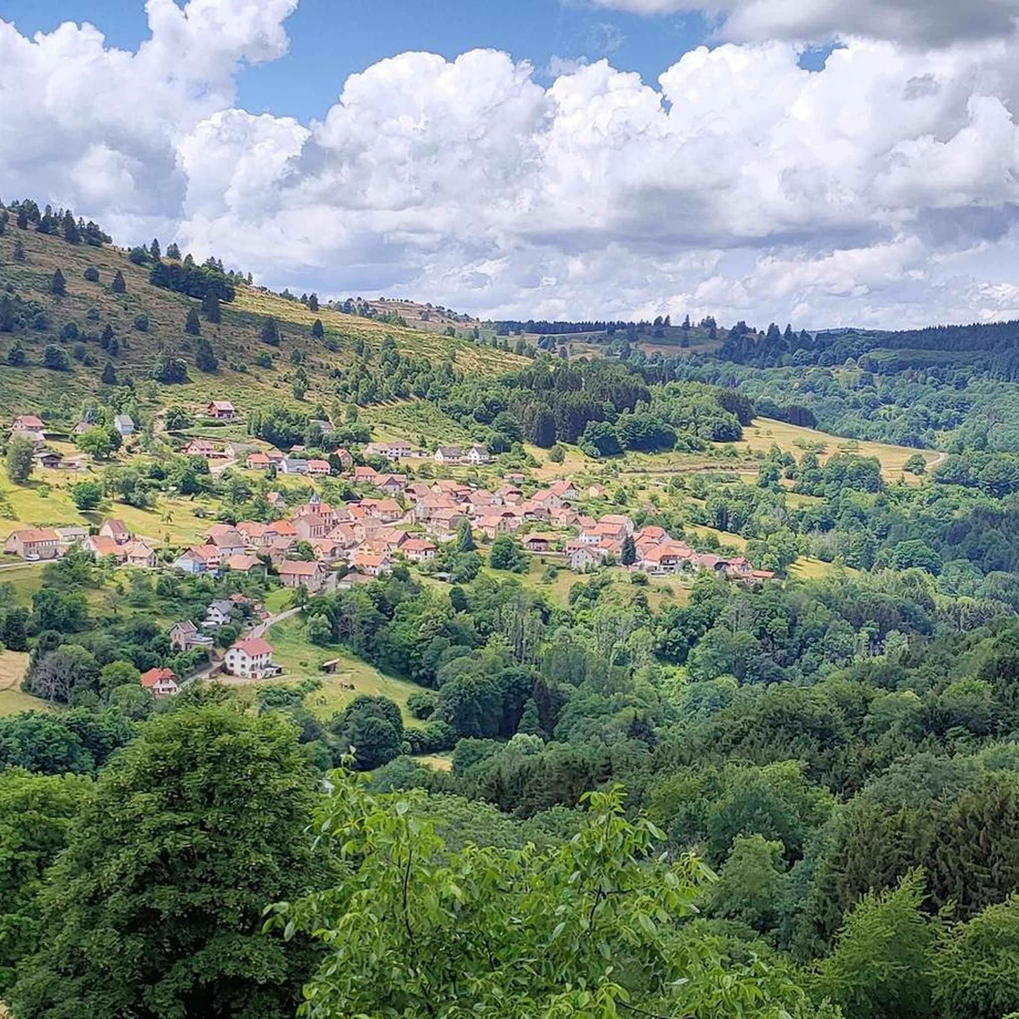
The Cascade de la Serva is located in the Vosges in Alsace, near the Champ du Feu. The stream La Serva originates there at an altitude of over 1000 m in the moor and forest areas of the high plateau. On its approximately 3 km long course, it flows through dense Vosges forest and forms the well-known Cascade de la Serva with several natural waterfall cascades, before later flowing into the Rothaine.
0
0
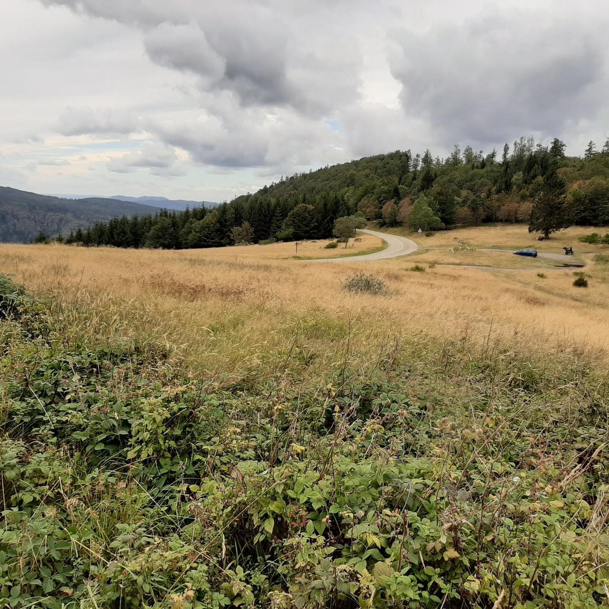
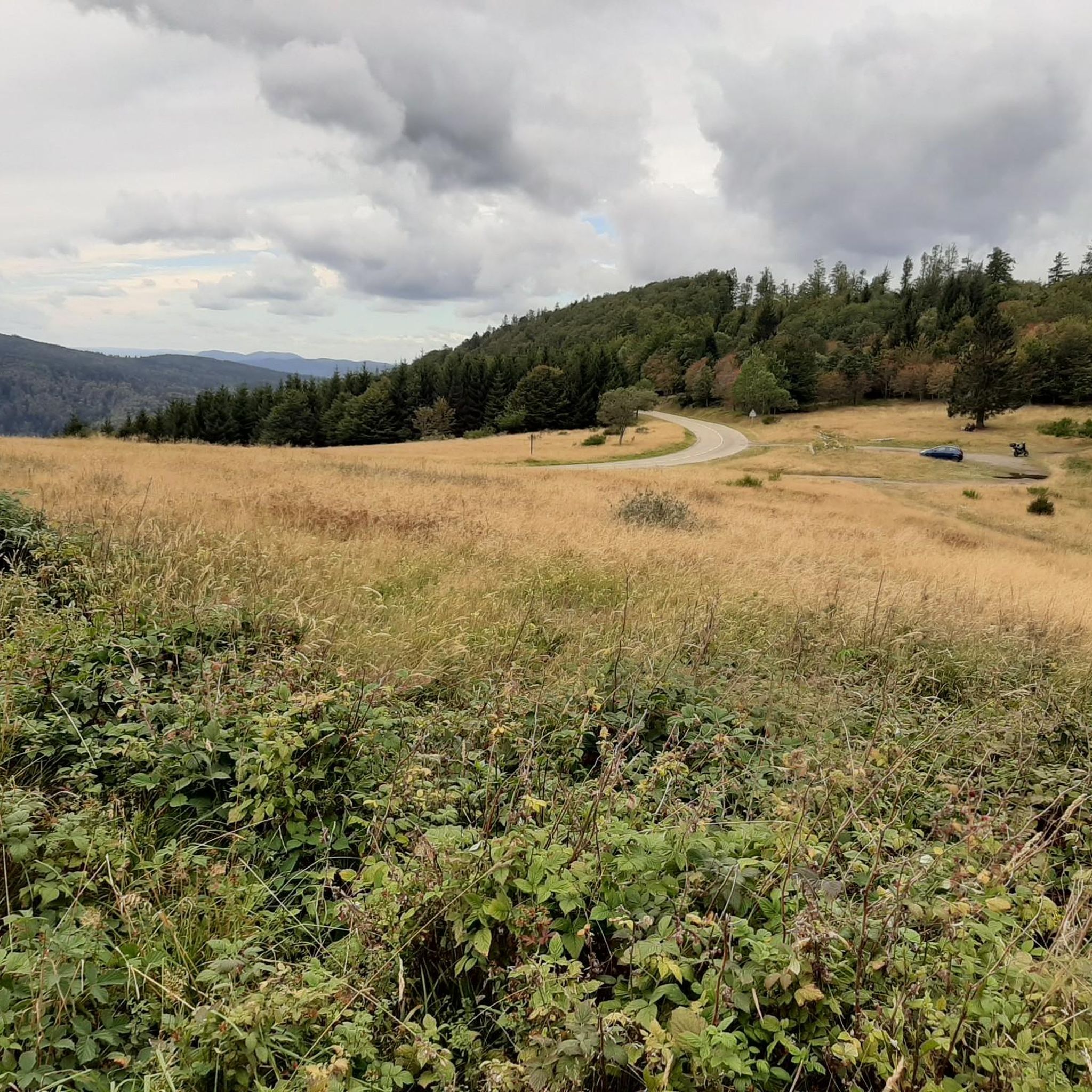
Champ du Feu, at 1099 meters, is the highest mountain in the Bas-Rhin department of the Vosges in Alsace. It is located between the villages of Belmont and Le Hohwald and consists of an extensive high plateau with forests, meadows, and moorlands. The area is a popular nature and recreational area. In summer, it is mainly used for hiking, mountain biking, and nature observation. In winter, there is a small ski resort with cross-country trails and simple slopes for winter sports. The stream La Serva originates from Champ du Feu and later forms the Cascade de la Serva. In clear weather, the summit offers wide views over the Vosges, the Rhine plain, and as far as the Black Forest. The area is particularly known for its tranquil nature, high moors, sunrises and starry skies, as well as well-marked hiking trails.
0
0
Champ du Feu, at 1099 meters, is the highest mountain in the Bas-Rhin department of the Vosges in Alsace. It lies between the towns of Belmont and Le Hohwald and consists of an extensive high plateau with forests, meadows, and moorlands. The area is a popular nature and recreational area. In summer, it is mainly used for hiking, mountain biking, and nature observation. In winter, there is a small ski area with cross-country trails and simple slopes for winter sports. The brook La Serva originates from Champ du Feu, later forming the Cascade de la Serva. In clear weather, the summit offers wide views over the Vosges, the Rhine plain, and as far as the Black Forest. The area is particularly known for its tranquil nature, high moors, sunrises and starry skies, as well as well-marked hiking trails.
0
0


Viewpoint with wonderful views
1
0

Possible origins of the name: Celtic rituals: It is believed that solstice and sacrificial fires were lit here in Celtic times. Charcoal burners' fire: The "fire" could also refer to the fires lit by charcoal burners in the surrounding forests of the Vosges Mountains. Cattle pasture: A popular theory states that the French word "feu" is a corruption of the German word "Vieh," meaning "field of cattle," as it was a sparsely wooded plateau where cattle could graze. Text from the Internet
1
0
Frequently Asked Questions
How many running routes are available in the Natzweiler area?
The Natzweiler region offers a wide selection of running routes, with over 290 trails available on komoot. These range from easy paths to more challenging runs, catering to various fitness levels.
Are there easy jogging routes in Natzweiler suitable for beginners?
Yes, Natzweiler has several easy running routes perfect for beginners. While the region features varied terrain, there are 9 routes specifically graded as easy, offering gentler inclines and shorter distances to get started.
Can I find running trails with convenient parking in Natzweiler?
Many of the running routes around Natzweiler are circular, which often makes them convenient for those looking for trails with parking. For example, the Cascade de la Serva Parking loop from Natzwiller is designed as a loop starting and ending near a parking area.
What is the typical length of running routes around Natzweiler?
Running routes in Natzweiler vary significantly in length. You can find shorter loops like the Cascade de la Serva Parking loop from Natzwiller at 4.0 miles (6.4 km), up to much longer and more challenging trails such as the Donon Temple – Temple of Donon loop from Rothau, which spans nearly 30 miles (47.2 km).
Are there any running routes in Natzweiler that feature waterfalls?
Yes, the region is known for its scenic waterfalls. A popular route that includes a waterfall is the Serva Waterfall – Champ du Feu Monoliths loop from Natzwiller, which offers varied terrain and views of natural formations.
What kind of terrain can I expect on the running trails in Natzweiler?
The running trails in Natzweiler offer a diverse landscape. You can expect a mix of forested paths, hills, and routes with both gentle inclines and more challenging ascents. Many trails provide scenic views and lead through varied natural environments.
What do other runners enjoy the most about jogging in Natzweiler?
The running routes in Natzweiler are highly rated by the komoot community, with an average score of 4.5 stars from over 80 reviews. Runners often praise the diverse landscape, the presence of scenic waterfalls, and the variety of options for different ability levels.
Are there any interesting landmarks or viewpoints along the running routes?
Yes, the area around Natzweiler features several points of interest. Along some routes, you might encounter natural monoliths or enjoy panoramic views from elevated points like Champ du Feu. Other notable spots include the Schubert Stone and Shelter at Col Entre les Deux Donons.
Can I find longer, more challenging running trails in Natzweiler?
Absolutely. For experienced runners seeking a challenge, Natzweiler offers 178 routes graded as difficult. Trails like the Col de la Perheux – Champ du Feu Monoliths loop from Rothau feature significant elevation gain and longer distances, providing a demanding workout.
Are there any circular running routes available in Natzweiler?
Yes, many running routes in Natzweiler are designed as circular loops, which are convenient for starting and ending at the same point. This design is ideal for those who prefer not to retrace their steps and often simplifies logistics like parking.
What is the best time of year for running in Natzweiler?
While specific recommendations depend on personal preference, the forested hills and varied terrain of Natzweiler make it suitable for running across multiple seasons. Spring and autumn offer pleasant temperatures and vibrant scenery, while summer provides lush green landscapes. Winter running is also possible, though conditions may vary.
Most popular attractions around Natzweiler

Get inspired with the komoot mobile app


Explore more
Browse the best Running Trails & Routes in other regions.
