The best walks and hikes around Waldersbach
4.5
(2910)
15,626
hikers
16
hikes
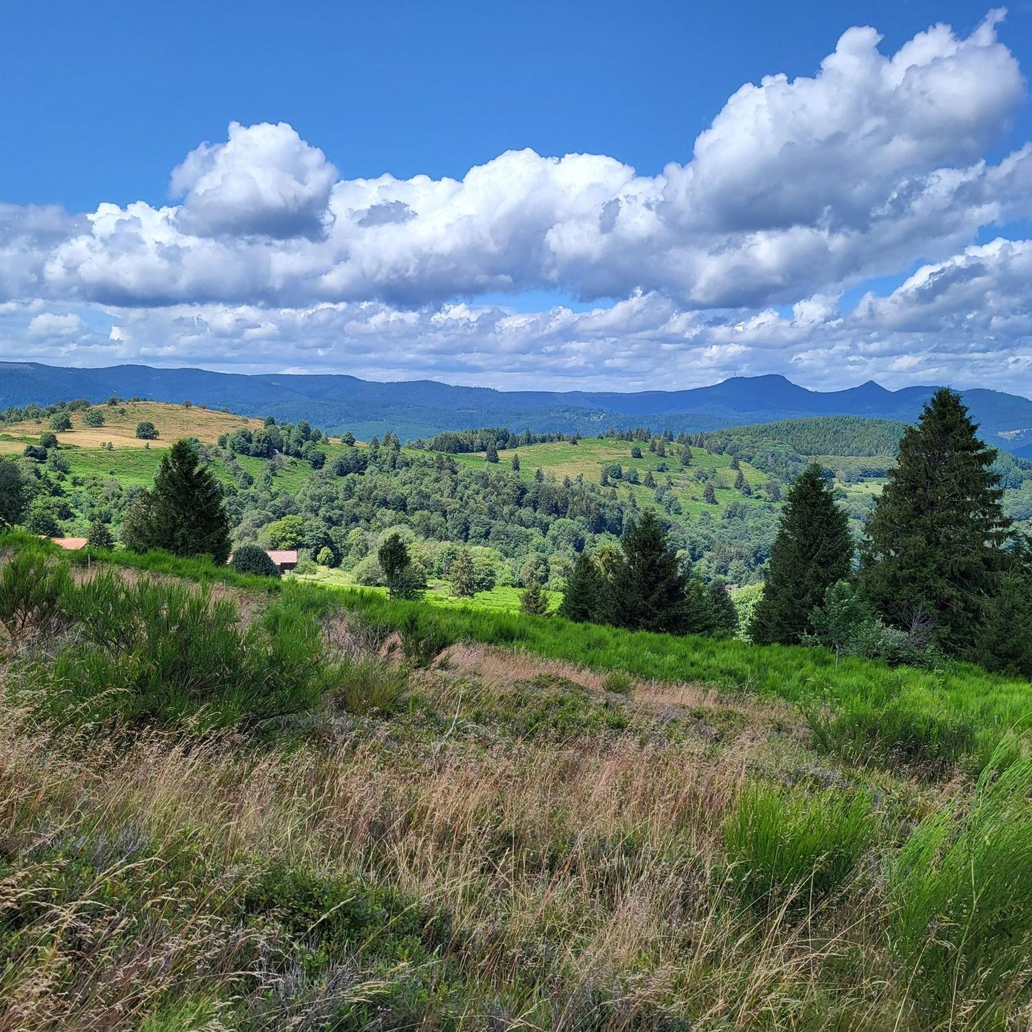
Hiking around Waldersbach provides access to diverse landscapes within the Bas-Rhin department of France's Alsace region. The terrain features dense forests, open pastures, and significant elevation changes, particularly around the Champ du Feu, the highest point in Bas-Rhin. Hikers can expect to encounter rock formations and deeply cut valleys, with trails often traversing old beech forests and clear streams.
Best hiking trails around Waldersbach
- The most popular hiking route is La Roche Castle – View of Ranrupt loop from Bellefosse…
Last updated: July 7, 2026
4.6
(10)
47
hikers
13.3km
04:04
470m
470m
Moderate hike. Good fitness required. Easily-accessible paths. Suitable for all skill levels.
5.0
(6)
22
hikers
8.23km
02:35
320m
320m
Moderate hike. Good fitness required. Easily-accessible paths. Suitable for all skill levels.

Sign up for free
5.0
(5)
24
hikers
11.1km
03:22
360m
360m
Moderate hike. Good fitness required. Easily-accessible paths. Suitable for all skill levels.
2
hikers
19.0km
06:07
800m
800m
Hard hike. Very good fitness required. Mostly accessible paths. Sure-footedness required.
5.0
(1)
4
hikers
5.89km
01:49
200m
200m
Easy hike. Great for any fitness level. Easily-accessible paths. Suitable for all skill levels.
Get access to more routes and recommendations from other explorers.
Sign up for free
Already have an account?
Our route recommendations are based on thousands of hikes, rides, and runs completed by other people on komoot.
Start today with a free account
Your next adventure awaits.
Login or Signup

Tips from the Community

Magnificent pass to climb from different slopes (Breitenbach, Steige, Vallée de la Bruche, Andlau). It is also a crossing point towards the Champ du feu, the Hohwald, the Mont Ste Odile.
0
0


A ruin of a forgotten castle, like so many others in our beautiful Vosges mountains. A gravel bike ride that I really enjoyed.
0
0

Treat yourself to an authentic getaway in the Vosges Mountains. Located in Belmont, near Strasbourg, the 4-star Mont Champ du Feu hotel welcomes you to an idyllic setting surrounded by nature. The perfect place to relax and stock up on memories. Find all the information here: https://tinyurl.com/54jywbjn.
0
0

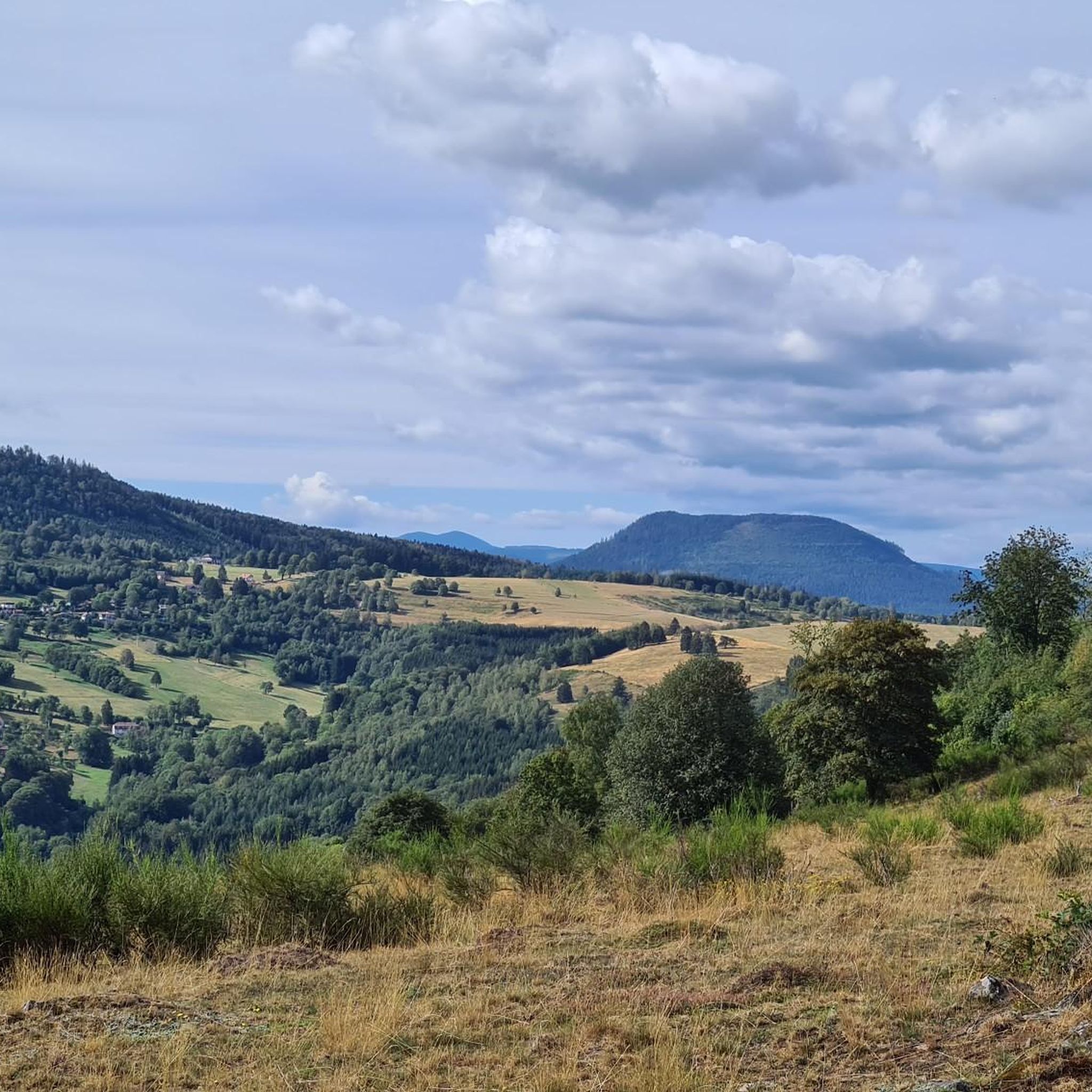
One of my favorite places in the Bruche Valley. Below the Champ du Feu, the vegetation fades to enhance the landscape. You can perfectly observe the Donon and the surrounding peaks in a hilly landscape, especially if you climb Mont Saint-Jean. The place is perfect for a picnic in summer. And for the most gourmet, the Perheux farmhouse inn is only a few meters away.
2
0

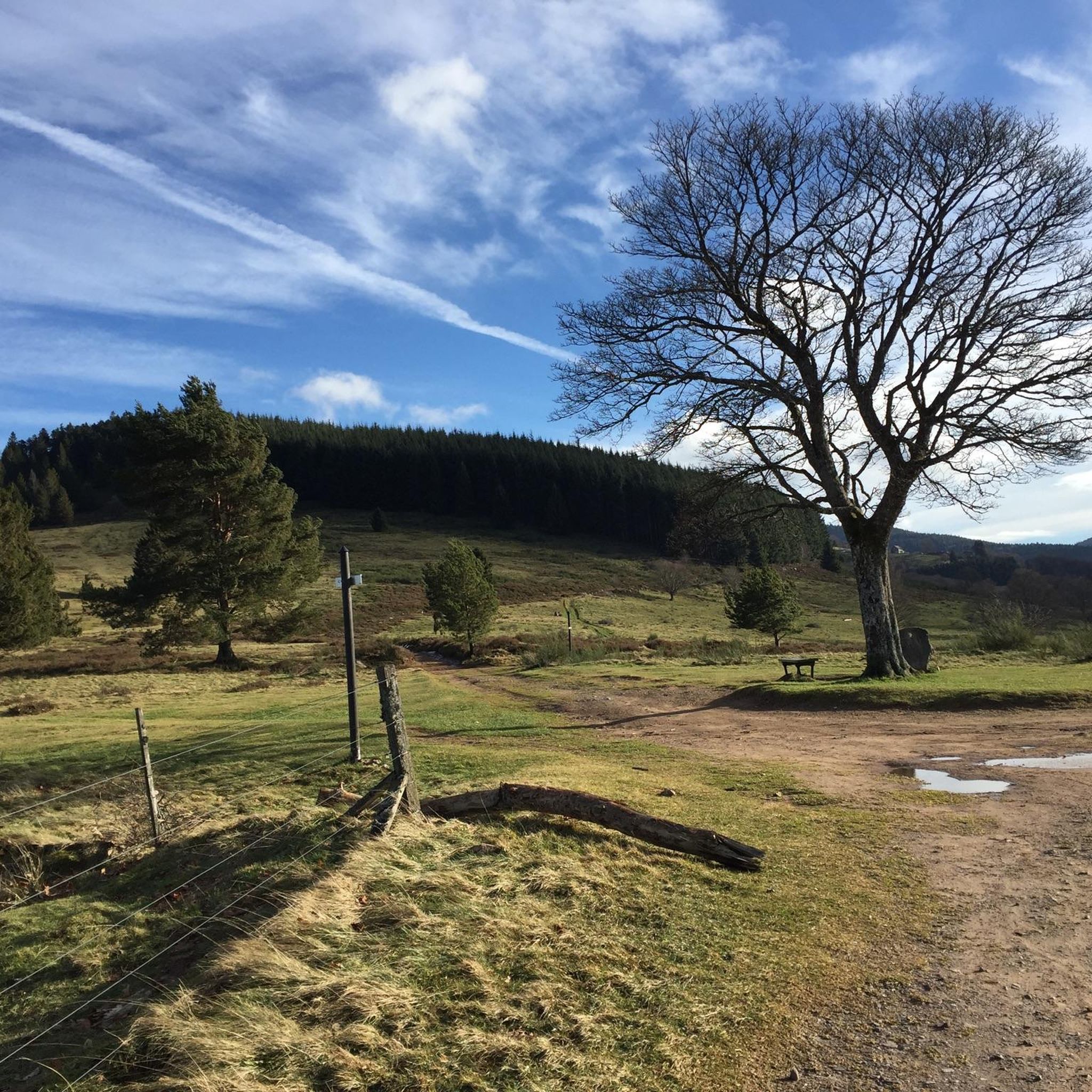
Pass culminating at 960 m altitude.
0
0

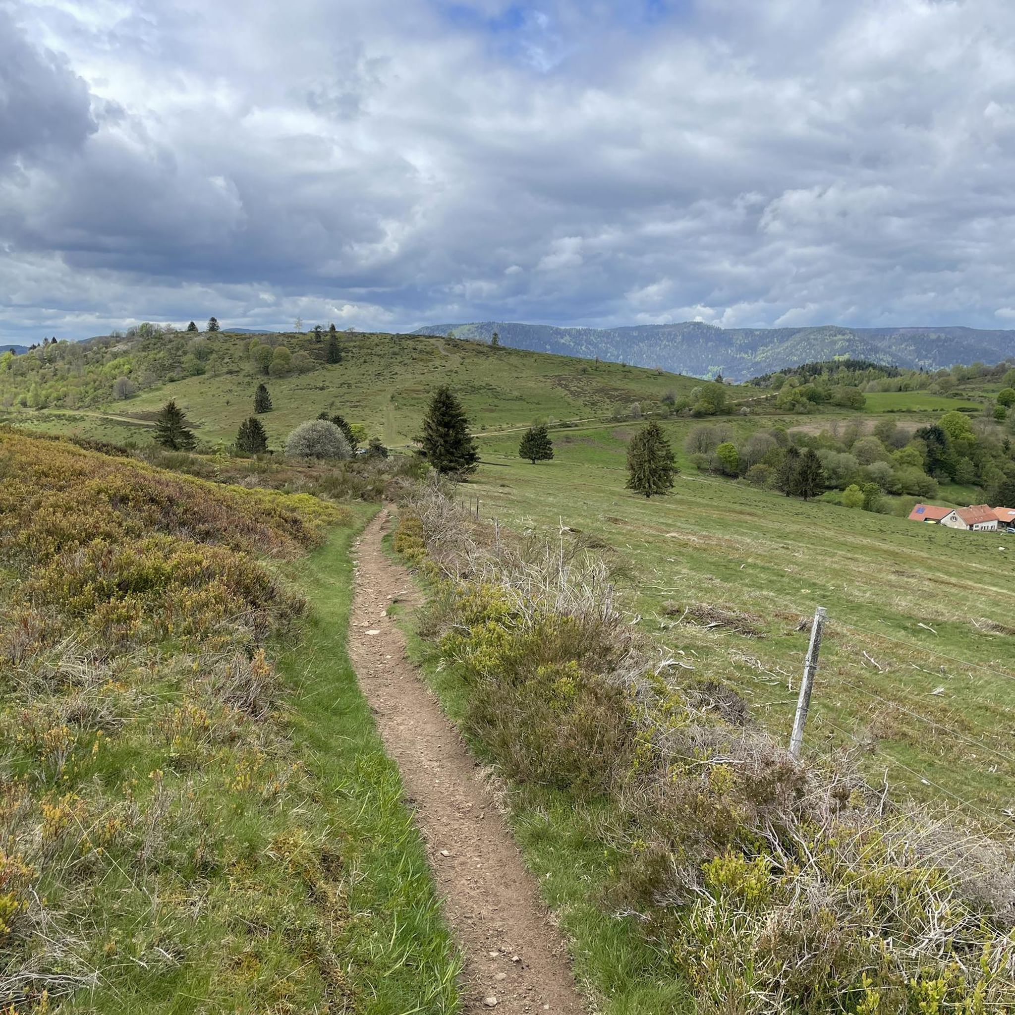
Superb little single that takes you to a rock overlooking Rothau Be careful, the path which goes down towards Rothau is not recommended for beginners...
0
0
Great view of Rothau... Be careful of the mountain bike descent that follows.... beginners refrain 😉🤣
0
0
Frequently Asked Questions
How many hiking trails are available around Waldersbach?
There are over 600 hiking routes around Waldersbach, catering to a wide range of abilities. This includes more than 200 easy trails, 330 moderate routes, and around 60 more challenging options, ensuring there's something for every hiker.
What kind of landscapes can I expect to see while hiking near Waldersbach?
Hiking around Waldersbach offers incredibly diverse landscapes. You'll frequently traverse dense forests, particularly around the Champ du Feu, which is the highest point in Bas-Rhin. Trails also lead through open pastures, broom heath, and feature rock formations, deeply cut valleys, and clear streams. Panoramic views of surrounding peaks are common from higher elevations.
Are there any easy or family-friendly hikes in the Waldersbach area?
Yes, Waldersbach offers over 200 easy hiking trails suitable for families and beginners. Many routes are well-marked and provide gentle elevation changes. For a fun family activity, consider the 'Treasure hunt: The adventures of Rose and Louis in Waldersbach' which combines exploration with local history. You can find more details about this engaging activity at visit.alsace.
What are some notable natural attractions or viewpoints along the trails?
The region boasts several natural highlights. The Champ du Feu offers breathtaking panoramic views. You can also discover the Hohwald waterfall, a beautiful natural monument. Additionally, trails often lead through old beech forests and past unique rock formations, providing scenic vistas throughout your hike.
Can I find circular hiking routes around Waldersbach?
Absolutely. Many of the hiking trails around Waldersbach are designed as circular routes, allowing you to start and end at the same point. Examples include the La Roche Castle – View of Ranrupt loop from Bellefosse or the Solbach Church – Col de la Perheux loop from Solbach, which is an easy option.
What do other hikers enjoy most about the trails in Waldersbach?
The hiking routes in Waldersbach are highly rated by the komoot community, with an average score of 4.5 stars from over 3000 reviews. Hikers frequently praise the diverse terrain, from dense forests to open pastures, the well-maintained paths, and the stunning panoramic views, especially from the Champ du Feu area.
Are there any historical sites or castles accessible by hiking?
Yes, several hiking routes allow you to explore historical sites. For instance, the La Roche Castle – View of Ranrupt loop from Bellefosse passes by the historic Château de la Roche. While not directly on a trail in this guide, the impressive Château du Haut-Koenigsbourg is also within easy reach for a day trip, about 21 km away.
Are there options for food and drink along the hiking trails?
Yes, some hiking routes in the region pass by traditional farm-inns (ferme-auberges) where you can enjoy local products and cuisine. These establishments offer a great opportunity to refuel and experience local culture during your hike.
What is the best time of year to go hiking in Waldersbach?
The best time for hiking in Waldersbach is generally from spring to autumn, when the weather is mild and the trails are clear. However, the Champ du Feu area also transforms into a popular spot for snowshoeing during winter, offering a different kind of outdoor experience.
Are there any trails that offer significant elevation changes for a more challenging hike?
Yes, for those seeking a challenge, routes around the Champ du Feu often involve significant elevation gains, reaching altitudes of up to 1099 meters. These trails provide rewarding ascents and expansive views, such as the Col de la Perheux – Mont St Jean loop from Waldersbach.
Can I bring my dog on the hiking trails around Waldersbach?
Many trails in the Waldersbach region are dog-friendly, allowing you to enjoy the beautiful natural surroundings with your canine companion. It's always recommended to keep dogs on a leash, especially in areas with wildlife or livestock, and to check specific trail regulations if available.
Are there any trails that lead to a mountain pass?
Yes, several trails in the area incorporate mountain passes. For example, the Col de la Perheux – Mont St Jean loop from Waldersbach explores the area around Col de la Perheux, offering varied terrain and scenic views as you traverse the pass.
Most popular routes around Waldersbach
Most popular attractions around Waldersbach

Get inspired with the komoot mobile app


Explore more
Browse the best Hikes in other regions.
