The best road cycling routes around Charnay-Lès-Mâcon
4.4
(181)
5,219
riders
544
rides
Road cycling around Charnay-Lès-Mâcon is characterized by a varied landscape, featuring expansive vineyards, limestone cliffs, and the Saône River valley. The region offers a mix of terrain, from the gentle gradients of the Voie Verte to more challenging routes with significant elevation gain. Green spaces and well-maintained cycling infrastructure contribute to a diverse outdoor experience.
Best road cycling routes around Charnay-Lès-Mâcon
- The most popular road cycling route is Col de Gerbet Loop from Mâcon, a 28.1 miles (45.2 km)…
Last updated: July 18, 2026
3.8
(6)
42
riders
45.2km
02:31
920m
920m
Hard road ride. Very good fitness required. Mostly well-paved surfaces and easy to ride.
4.6
(7)
24
riders
45.0km
01:57
170m
170m
Easy road ride. Great for any fitness level. Mostly well-paved surfaces and easy to ride.

Sign up for free
3.9
(7)
31
riders
32.4km
01:54
750m
750m
Moderate road ride. Good fitness required. Mostly well-paved surfaces and easy to ride.
14
riders
109km
04:43
540m
540m
Moderate road ride. Good fitness required. Mostly well-paved surfaces and easy to ride.
4.0
(1)
6
riders
56.9km
02:35
310m
310m
Moderate road ride. Good fitness required. Mostly well-paved surfaces and easy to ride.
Get access to more routes and recommendations from other explorers.
Sign up for free
Already have an account?
Our route recommendations are based on thousands of hikes, rides, and runs completed by other people on komoot.
Start today with a free account
Your next adventure awaits.
Login or Signup
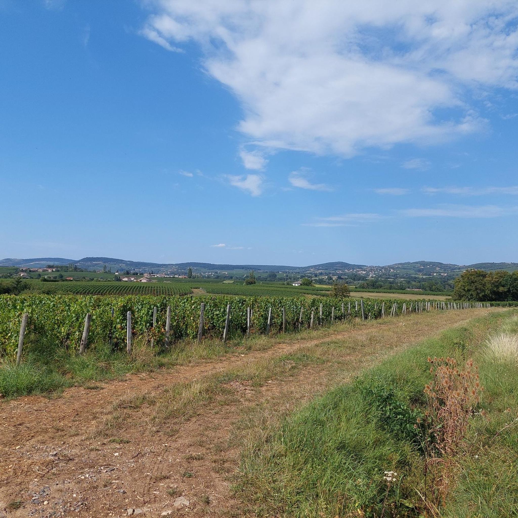
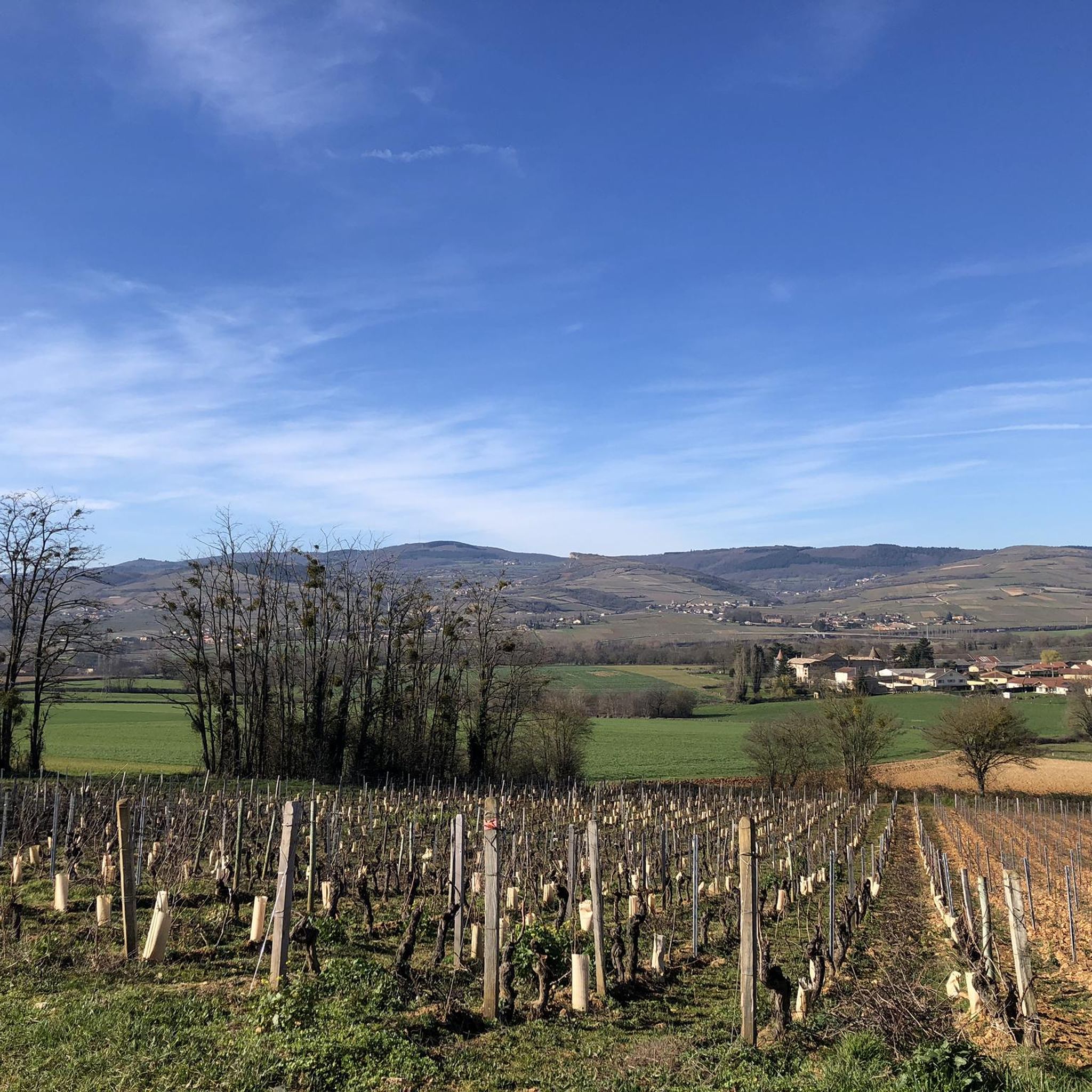
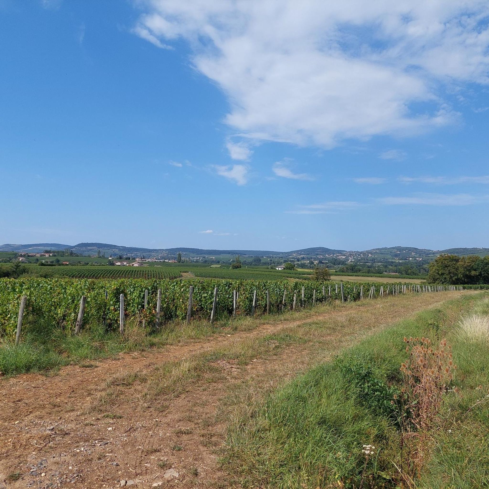
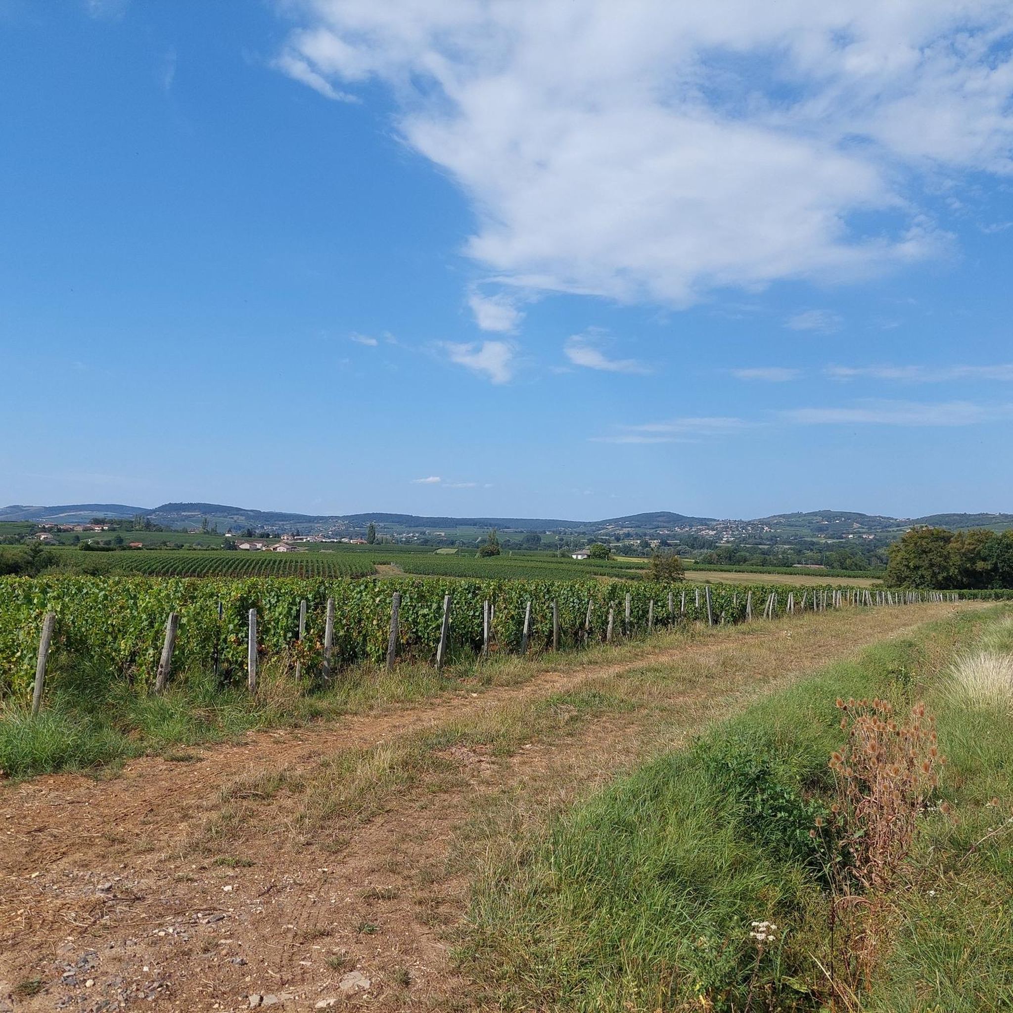

Tips from the Community

The Rock of Solutré is a world-famous, 493-meter-high limestone rock in the south of the Burgundy region. It is located amidst the picturesque vineyards of the municipality of Solutré-Pouilly. The region is officially designated as a Grand Site de France. The hike to the summit is easy to moderate and very doable for families. It takes about 1 hour for the entire loop (approx. 4 kilometers round trip). The elevation gain is around 100 to 140 meters from the official parking lot on well-maintained paths with information panels, although there are many steps.
1
0
The Saint-Laurent Bridge (Pont Saint-Laurent) is a historic stone bridge that spans the Saône River. It connects the town of Mâcon in the Saône-et-Loire department with the municipality of Saint-Laurent-sur-Saône in the Ain department. Initial wooden structures were already built by the Romans. The current stone bridge dates back to the 11th century in its core and is considered the oldest bridge over the Saône. The structure consists of twelve stone arches. On one of the pillars, there is a statue of Saint Nicholas, the patron saint of boatmen. It is one of the few historic structures in the region that survived the demolitions of World War II unscathed.
1
0
The Col de Gerbet (612 m) is an idyllic mountain pass in the French wine-growing region of Beaujolais. Depending on the starting point, various roads with little traffic lead up to the pass via the D137. From Juliénas (south-east approach): This route is 7.3 kilometers long. It overcomes 342 meters of altitude with a steady, moderate gradient of 4.7% on average. The road winds through shady forest sections. From La Croix Blanche (west approach): A tougher variant 4.5 kilometers long. Here you conquer 270 meters of altitude with an average gradient of 6% and ramps of up to 11%.
1
0

The lake of Montrevel-en-Bresse hosts numerous activities and infrastructures on its shore, such as the leisure center La Plaine Tonique, its campsite and its aquatic area, a must-see in the Ain region.
1
0

The Saint-Laurent bridge spans the Saône. It has twelve stone arches and has retained its post-World War II appearance. It is classified as a historic monument.
4
0

A limestone escarpment 8 km (5.0 mi) west of Mâcon, France, overlooking the commune of Solutré-Pouilly. The Saône plain extends to the east, with a view of the Mâconnais in the foreground, then the Ain and the Dombes with the Alps and Mont Blanc in the background when visibility is good. It's an iconic site if you're in the area.
1
0

La Roche de Solutré is a spectacular rock formation, it is located just outside Solutré-Pouilly. Its summit is 493m above sea level
2
0
The Col de Gerbet from La Croix Blanche is 4.5 km long with a total drop of about 270 m. The average gradient is 6% with maximum gradients of 11%.
4
0
Frequently Asked Questions
How many road cycling routes are available around Charnay-Lès-Mâcon?
Charnay-Lès-Mâcon offers a wide variety of road cycling routes, with over 570 options available on komoot. These routes cater to all skill levels, from easy rides through the Saône valley to challenging climbs in the surrounding hills.
What kind of terrain can I expect when road cycling in Charnay-Lès-Mâcon?
The region provides a diverse road cycling experience. You'll find smooth, quiet roads winding through picturesque vineyards and forests, particularly west of the Saône River. The Voie Verte (Greenway) of Southern Burgundy offers a secure, mostly flat path on a former railway line, while other routes feature significant elevation gains through limestone cliffs and rolling hills.
Are there any easy road cycling routes suitable for beginners or families?
Yes, Charnay-Lès-Mâcon has several easy routes. A great option is The floodplain meadows of the Saône valley - loop, which is a 45.0 km path with minimal elevation gain, perfect for a relaxed ride. The Voie Verte also provides a very accessible and secure cycling experience.
Where can I find challenging road cycling routes with significant climbs?
For those seeking a challenge, the region offers routes with substantial elevation. The Col de Gerbet Loop from Mâcon is a difficult 45.2 km route featuring over 920 meters of elevation gain, taking you through demanding terrain and rewarding you with panoramic views.
What are some notable landmarks or viewpoints I can see along the road cycling routes?
Many routes offer stunning views and pass by significant landmarks. You can often spot the iconic Roche de Solutré and Vergisson Rock. Some routes also provide views of the Saône River and the charming vineyards of the Mâconnais. The historic Lamartine House is another point of interest.
What is the best time of year for road cycling in Charnay-Lès-Mâcon?
The Mâconnais region is generally pleasant for cycling from spring through autumn. Spring brings blooming vineyards, while autumn offers vibrant colors. Summers are typically warm and sunny, ideal for long rides, though it's always wise to check local weather forecasts.
Are there circular road cycling routes available?
Yes, many of the road cycling routes around Charnay-Lès-Mâcon are designed as loops, allowing you to start and end in the same location. Examples include The Chateau de Chasselas - loop from the outskirts of Macon and Mâcon and Bresse Countryside Loop.
Can I bring my dog on the cycling routes, especially the Voie Verte?
While specific rules can vary, dogs are generally permitted on public paths and greenways like the Voie Verte, provided they are kept on a leash. For other road cycling routes, it's important to ensure your dog is comfortable and safe with road traffic, and always adhere to local regulations regarding pets.
Where can I find parking for road cycling routes in Charnay-Lès-Mâcon?
Charnay-Lès-Mâcon and nearby Mâcon offer various parking options. Many routes start from or pass through towns where public parking is available. The former Charnay-Condemine station, a starting point for the Voie Verte, is also a convenient place to park.
What do other road cyclists say about the routes in Charnay-Lès-Mâcon?
The road cycling routes in Charnay-Lès-Mâcon are highly regarded by the komoot community, boasting an average rating of 4.4 stars from over 160 reviews. Cyclists frequently praise the region's beautiful vineyard landscapes, quiet roads, and the variety of terrain suitable for different fitness levels.
Are there any amenities like cafes or bike rentals along the routes?
Charnay-Lès-Mâcon and nearby Mâcon offer various amenities. The town has a "Vélo-gare" (bike station) providing bike rentals and tourist information. Many routes pass through charming villages and towns where you can find cafes, restaurants, and shops to refuel and relax.
What is the Voie Verte and how does it relate to road cycling in the area?
The Voie Verte (Greenway) of Southern Burgundy is a significant cycling path built on a former railway line, starting near Charnay-Lès-Mâcon. It offers a secure, mostly traffic-free experience, ideal for leisurely rides and connecting to other destinations like Cluny. While not exclusively for road bikes, its smooth surface makes it a popular choice for road cyclists looking for a relaxed ride or a safe connection between routes.
Most popular routes around Charnay-Lès-Mâcon
Most popular attractions around Charnay-Lès-Mâcon

Get inspired with the komoot mobile app


Explore more
Browse the best Road cycling routes in other regions.
