The best road cycling routes around Bussières
4.3
(117)
3,934
riders
363
rides
Road cycling around Bussières features diverse landscapes with well-paved routes that cater to various fitness levels. The region is characterized by picturesque scenery, including tranquil rivers, expansive valleys, and lush woods. Cyclists can expect routes with varying elevation gains, providing both easy rides and more challenging excursions. The natural scenery enhances the outdoor experience.
Best road cycling routes around Bussières
- The most popular road cycling route is Pierreclos Church – Bois Clair tunnel loop from Pierreclos, a 33.0 miles…
Last updated: July 17, 2026
65
riders
53.0km
02:35
690m
690m
Moderate road ride. Good fitness required. Mostly well-paved surfaces and easy to ride.
5.0
(1)
52
riders
29.0km
01:20
300m
300m
Moderate road ride. Good fitness required. Mostly well-paved surfaces and easy to ride.

Sign up for free
3.0
(2)
52
riders
47.6km
02:01
340m
340m
Moderate road ride. Good fitness required. Mostly well-paved surfaces and easy to ride.
5.0
(1)
19
riders
53.4km
02:40
870m
870m
Moderate road ride. Good fitness required. Mostly well-paved surfaces and easy to ride.
19
riders
Moderate road ride. Good fitness required. Mostly well-paved surfaces and easy to ride.
Get access to more routes and recommendations from other explorers.
Sign up for free
Already have an account?
Our route recommendations are based on thousands of hikes, rides, and runs completed by other people on komoot.
Start today with a free account
Your next adventure awaits.
Login or Signup
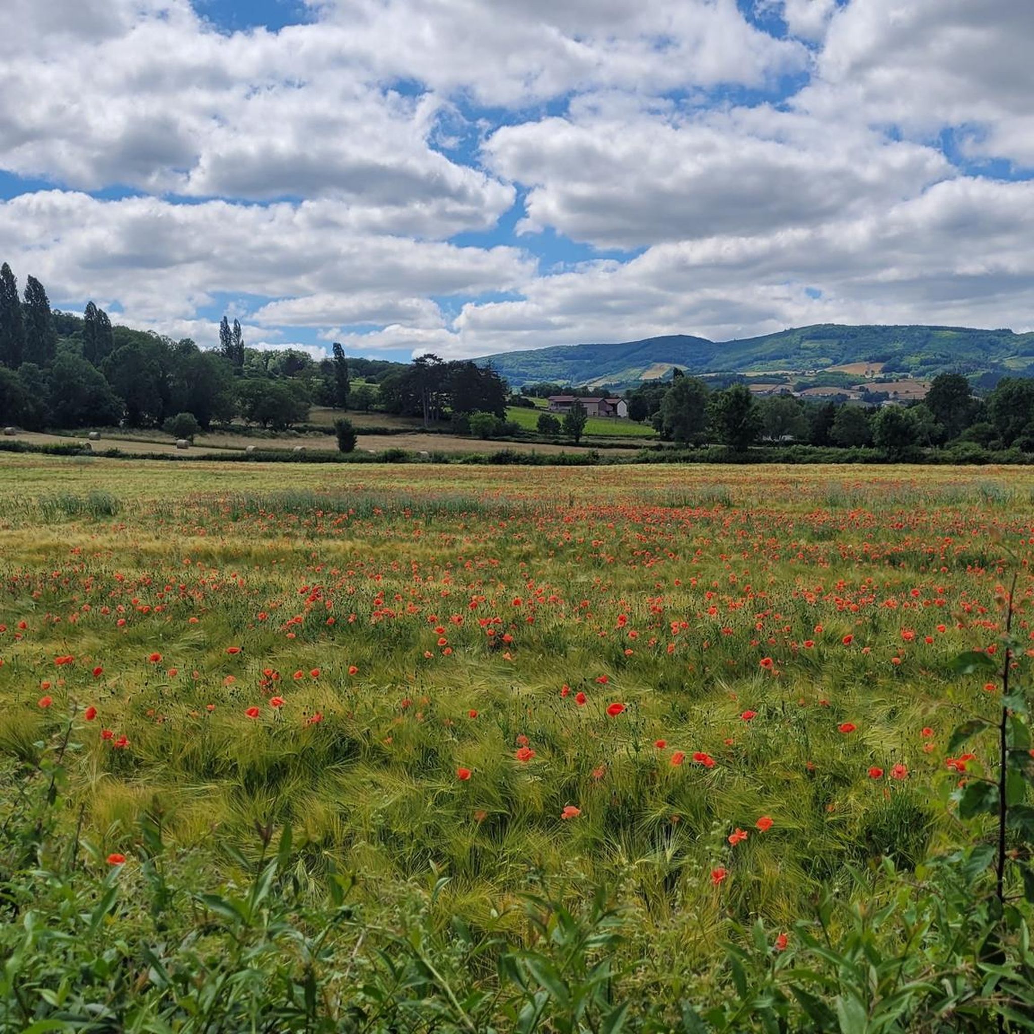
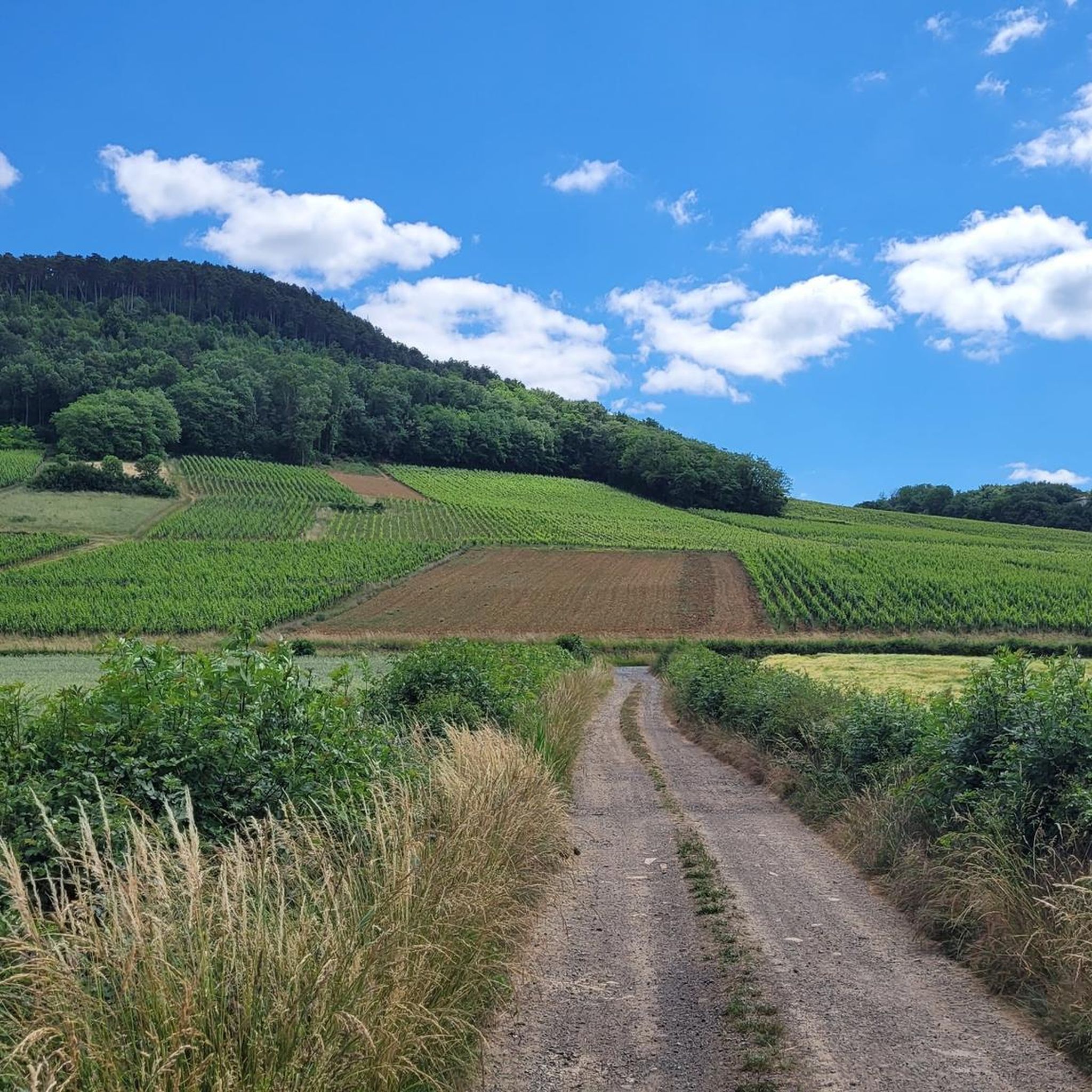
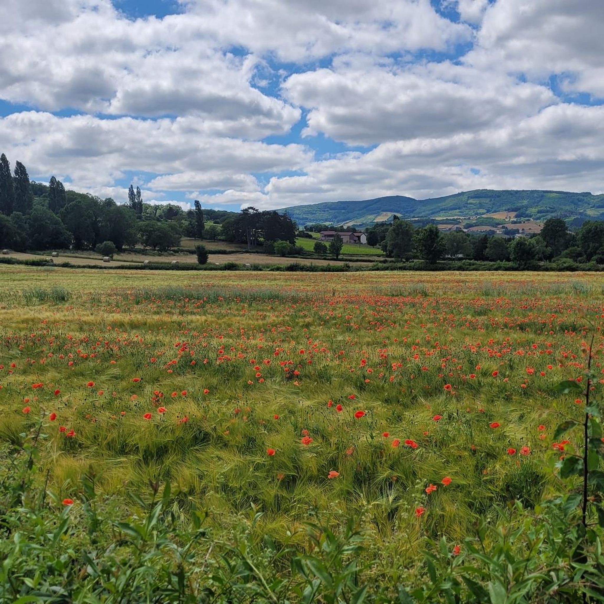
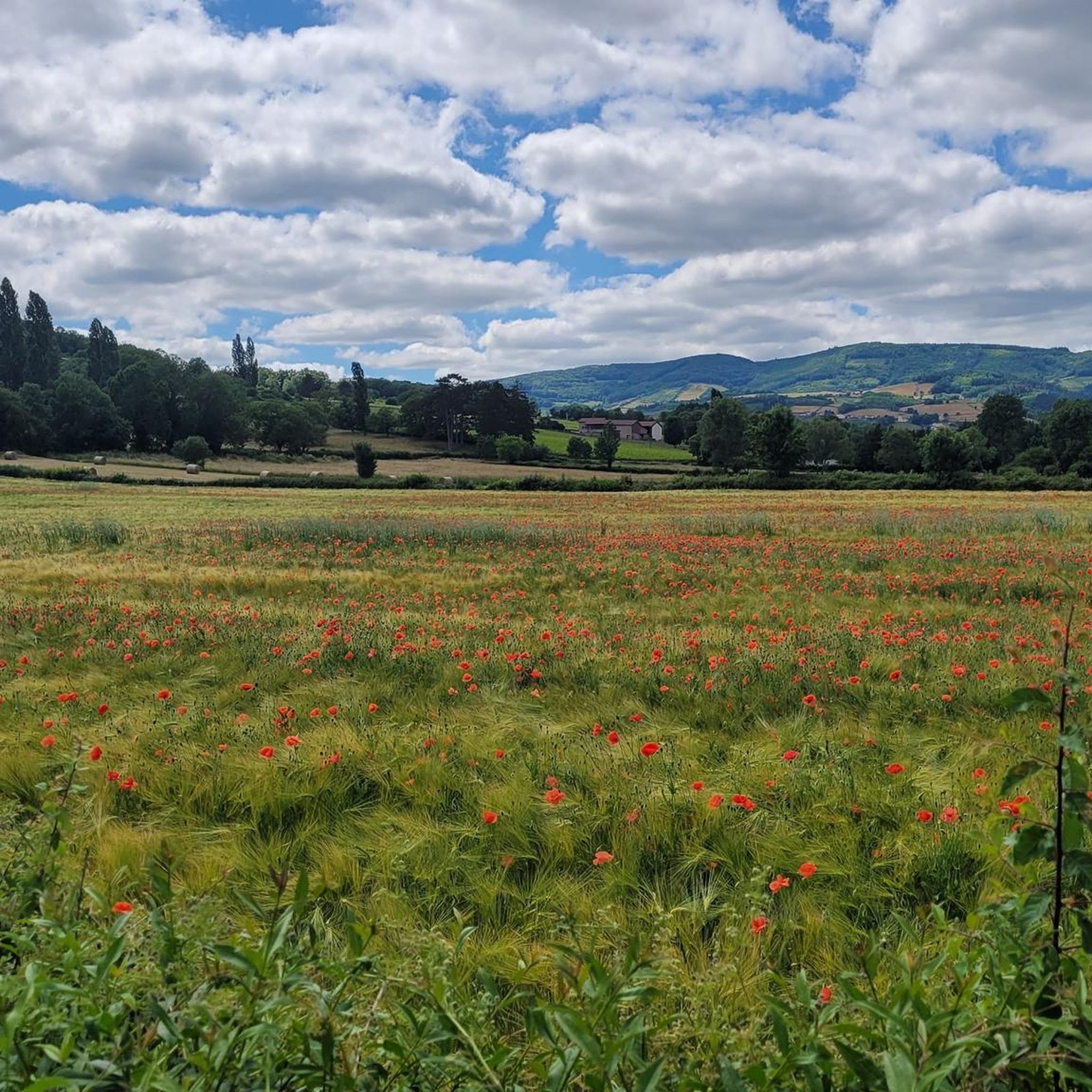

Tips from the Community

Magnificent ride mostly in the shade on level, smooth ground.
1
0
The Tour des Fromages is a preserved defensive tower from the 11th century, which originally belonged to the ramparts of the powerful Abbey of Cluny. In the Middle Ages, the structure was still called Tour des Fèves (Bean Tower), as supplies were stored there. It got its current, curious name in the 19th century because a merchant used the tower to dry her homemade cheeses. Today, the tower is a popular attraction. Visitors can climb the 120 steps to the top. From up there, you have a beautiful 360-degree panoramic view over the entire medieval monastic city and the surrounding Burgundy landscape. Access to the tower is directly through the local Cluny tourist office.
1
0
Relaxed riding on good and level ground and mostly shady.
2
0
The Rock of Solutré is a world-famous, 493-meter-high limestone rock in the south of the Burgundy region. It is located amidst the picturesque vineyards of the municipality of Solutré-Pouilly. The region is officially designated as a Grand Site de France. The hike to the summit is easy to moderate and very doable for families. It takes about 1 hour for the entire loop (approx. 4 kilometers round trip). The elevation gain is around 100 to 140 meters from the official parking lot on well-maintained paths with information panels, although there are many steps.
1
0
The Solutré Rock is a world-famous, 493-meter-high limestone cliff in the south of the Burgundy region. It is situated amidst the picturesque vineyards of the municipality of Solutré-Pouilly. The region is officially designated as a Grand Site de France. The hike to the summit is easy to moderate and well-suited for families. It takes about 1 hour for the entire circular route (approx. 4 kilometers round trip). The elevation gain is around 100 to 140 meters from the official parking lot, on well-maintained paths with information panels, although there are many steps.
0
0
The tour leads through a picturesque, typically Burgundian landscape of rolling fields, dense forests, and vineyards. It connects the small, historic communities of Bray, Cortambert, and Blanot. In the listed historic village of Blanot, you will find, among other things, the famous Grottes de Blanot (a cave that reaches over 80 meters deep into the earth) as well as a historic Romanesque church. www.burgund-touri... +1
1
0
The Col du Bois Clair is a 396-meter high French mountain pass in the Massif Central. It is located in the Bourgogne-Franche-Comté region in the Saône-et-Loire department and lies within the municipality of Sologny. The pass summit is crossed by the departmental road D17. Beneath the pass runs the Tunnel du Bois Clair, a former railway tunnel. At 1.6 kilometers long, it is the longest tunnel in France accessible to bicycles. Today it serves as part of the Voie Verte cycle path, but is closed from October to April to protect hibernating bats.
0
0
The Castle of Berzé-le-Châtel (also known as Forteresse de Berzé) is the largest and best-preserved medieval castle in Southern Burgundy. The complex dates back to a 10th-century castrum and was strategically built on a rocky outcrop to protect the nearby powerful Abbey of Cluny. The fortress consists of three ring walls and features 13 towers (including two keeps/donjons) as well as an imposing gatehouse. The heart of the interior is a remarkable Carolingian chapel.
1
0
Frequently Asked Questions
How many road cycling routes are available around Bussières?
There are over 390 road cycling routes around Bussières, catering to various skill levels. You'll find a wide selection, from easy rides to more challenging excursions with significant elevation gains.
What kind of terrain can I expect on road cycling routes in Bussières?
Road cycling in Bussières features diverse landscapes with mostly well-paved routes. You can expect smooth tarmac, sweeping curves, and empty roads, especially in the French countryside. Some moderate and hard routes might include short unpaved segments, adding an element of adventure.
Are there any family-friendly road cycling routes in Bussières?
Yes, Bussières offers several easier routes suitable for families. For instance, the region around La Bussière has options like the 'Ingrandes – Ingrandes loop' (11.7 km, 80m elevation) which provides a gentle ride through picturesque scenery. Look for routes with lower elevation gains and shorter distances for a more relaxed family experience.
What natural features can I see along the road cycling routes in Bussières?
The routes in Bussières often wind through breathtaking natural scenery. You'll encounter tranquil rivers, such as those offering views of the river and flowing through the Gartempe valley, expansive meadows, and lush woods. These features create a serene environment for riders.
Are there any circular road cycling routes in Bussières?
Many of the road cycling routes around Bussières are designed as loops, allowing you to start and finish at the same point. Examples include the Pierreclos Church – Bois Clair tunnel loop from Pierreclos or the Croix de Montmain Pass – Pistole Pass loop from La Roche-Vineuse, which offer varied distances and challenges.
What are some notable landmarks or attractions to see while cycling in Bussières?
While cycling, you can explore several historic and natural attractions. Near La Bussière, the historic Château d'Ingrandes offers a glimpse into centuries of history. You might also pass by natural monuments like the Roche de Solutré or the Vergisson Rock, and even the Tunnel du bois clair. The region also features several mountain passes like Col de la Grange du Bois.
What do other road cyclists say about the routes in Bussières?
The road cycling routes in Bussières are highly rated by the komoot community, with an average score of 4.4 stars from over 100 reviews. Cyclists often praise the well-maintained roads, the picturesque river valleys, and the peaceful wooded areas that define the region's cycling experience.
Are there routes for advanced road cyclists seeking a challenge?
Absolutely. Bussières offers 138 difficult routes for experienced cyclists. These routes often feature significant elevation gains and longer distances. An example is the Ruins of Cluny Abbey – Pistole Pass loop from La Roche-Vineuse, which covers over 60 km with substantial climbing.
What is the best time of year for road cycling in Bussières?
The region's diverse landscapes and generally pleasant weather make it suitable for road cycling through much of the year. Spring and autumn typically offer comfortable temperatures and beautiful scenery. Summer can also be excellent, though it's advisable to start earlier in the day to avoid the midday heat.
Are there any viewpoints along the road cycling routes in Bussières?
Yes, many routes offer scenic viewpoints. You can find stunning vistas such as the View of Mâcon and the Saône from the François Mitterand bridge. The varied terrain, including passes and elevated sections, frequently provides panoramic views of the surrounding valleys, meadows, and historic sites.
Is parking available near the road cycling routes in Bussières?
While specific parking information for every route start isn't provided, Bussières and its surrounding villages are generally well-equipped with public parking areas. It's common to find parking in the towns or near popular trailheads, especially in areas like La Roche-Vineuse or Pierreclos, which serve as starting points for many routes.
Can I reach the cycling routes using public transport in Bussières?
Public transport options in rural areas like Bussières can be limited compared to larger cities. While some regional bus services might connect the main towns, direct access to all route starting points via public transport may not always be feasible. It's recommended to check local transport schedules in advance or consider driving to a convenient starting location.
Most popular attractions around Bussières

Get inspired with the komoot mobile app


Explore more
Browse the best Road cycling routes in other regions.
