The best walks and hikes around Allerey-Sur-Saône
4.0
(26)
121
hikers
31
hikes
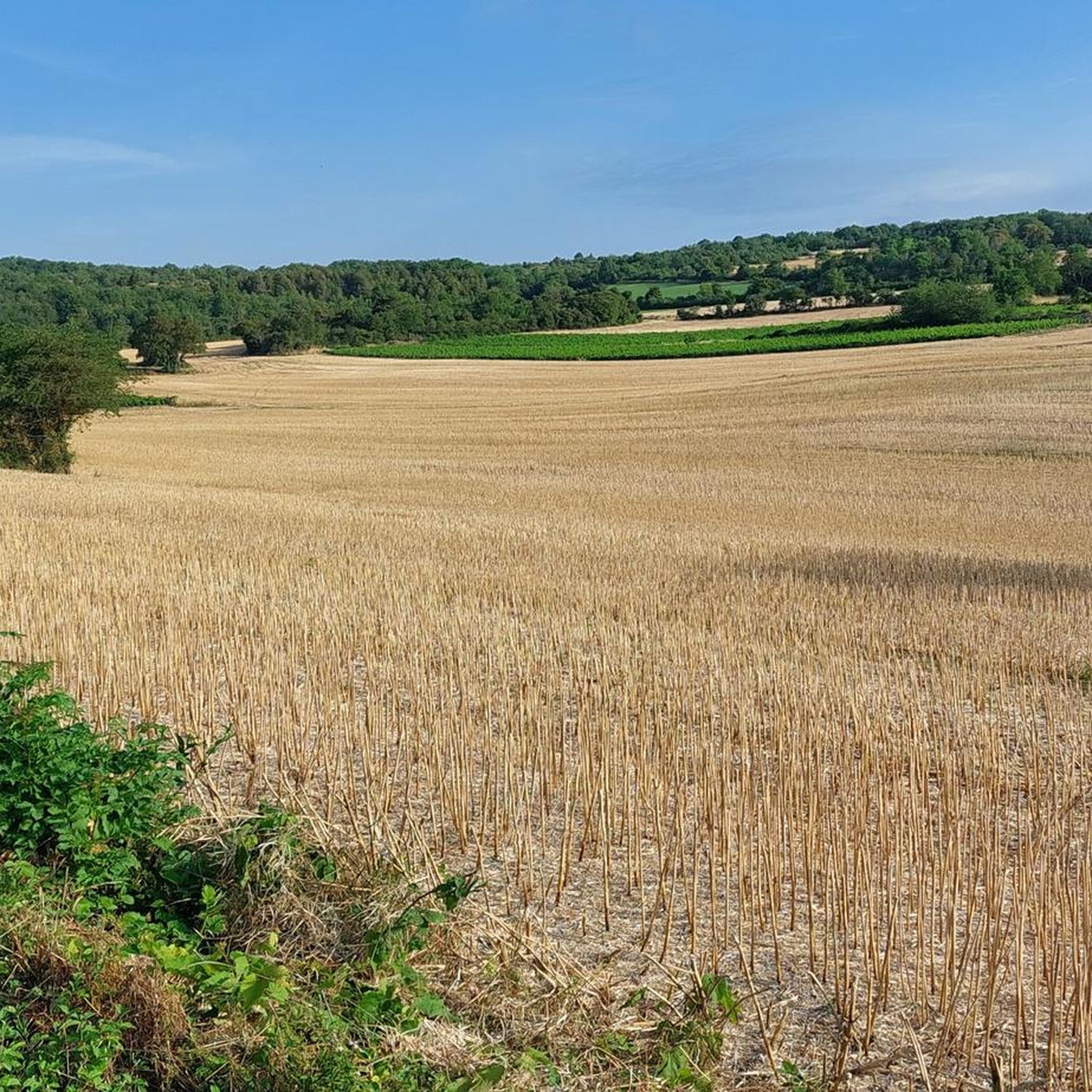
Hiking around Allerey-Sur-Saône offers routes through a predominantly flat landscape, characterized by the meandering Saône River and its surrounding wetlands. The area features gentle terrain with minimal elevation changes, making it suitable for accessible walks. Hikers can expect to encounter riverbanks, small lakes, and agricultural fields, providing a tranquil outdoor experience.
Best hiking trails around Allerey-Sur-Saône
- The most popular hiking route is Pont Boucicaut loop from Gergy, a 3.8 miles (6.2 km) trail that takes 1 hour 34 minutes to complete. This easy route follows the Saône River, offering views of the water and surrounding countryside.
- Another top favourite among local hikers is Saône River – Verdun-sur-le-Doubs loop from Verdun-sur-le-Doubs, an easy 4.1 miles (6.5 km) path. This route explores the riverbanks and local scenery around Verdun-sur-le-Doubs.
- Local hikers also love the Étang de Ruilly loop from Gergy, a 2.7 miles (4.4 km) trail leading through varied terrain including the Étang de Ruilly, often completed in about 1 hour 7 minutes.
- Hiking around Allerey-Sur-Saône is defined by riverine paths, tranquil lake surroundings, and open countryside. The network offers options for both easy hikes and moderate trails, accommodating different ability levels.
- The routes in Allerey-Sur-Saône are highly rated by the komoot community with an average score of 4.0 stars from more than 20 reviews. More than 80 hikers have used komoot to explore Allerey-Sur-Saône's varied terrain.
Last updated: July 6, 2026
5.0
(3)
6
hikers
6.15km
01:34
20m
20m
Easy hike. Great for any fitness level. Easily-accessible paths. Suitable for all skill levels.
2.3
(4)
6
hikers
6.48km
01:38
10m
10m
Easy hike. Great for any fitness level. Easily-accessible paths. Suitable for all skill levels.

Sign up for free
3
hikers
4.41km
01:07
10m
10m
Easy hike. Great for any fitness level. Easily-accessible paths. Suitable for all skill levels.
3.7
(3)
4
hikers
7.62km
01:57
30m
30m
Easy hike. Great for any fitness level. Easily-accessible paths. Suitable for all skill levels.
5.0
(2)
3
hikers
6.11km
01:33
10m
10m
Easy hike. Great for any fitness level. Easily-accessible paths. Suitable for all skill levels.
Get access to more routes and recommendations from other explorers.
Sign up for free
Already have an account?
Our route recommendations are based on thousands of hikes, rides, and runs completed by other people on komoot.
Start today with a free account
Your next adventure awaits.
Login or Signup


Tips from the Community

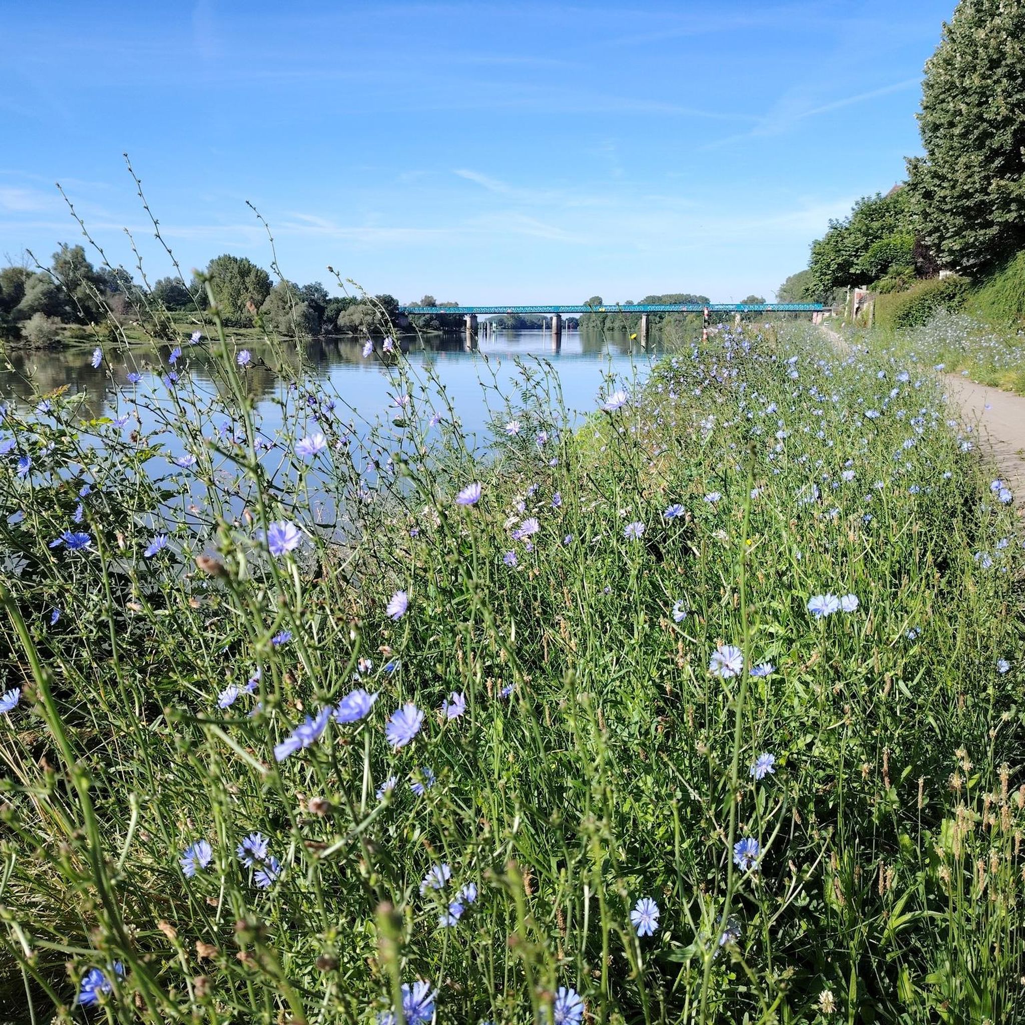
A pleasure to walk or cycle here along the Saône. Perfect for a quiet outing.
0
0

The striking bridge is a very beautiful eye-catcher
0
0

The Verdun-Ciel silos are the first cooperative silos in France. From the banks, long barges loaded with grain can regularly be seen gliding along the Saône. Their journey will take them to the Rhône, then on to destinations in France, Europe, or even internationally.
0
0
The Saint-Jean house overlooks the Doubs River, at the end of the Saint-Jean bridge, a former wooden drawbridge. In 1684, it became the town hall and housed a military post. Today, it remains a witness to many events that have shaped Verdun-Ciel.
0
0

Located over the Saône River between Verjux and Gergy, the bridge was inaugurated in 1890. This elegant stone structure was financed by Marguerite Boucicaut. Destroyed in 1944, it was rebuilt in 1957 with a metal deck while retaining its original decorative bollards.
0
0


The banks of the Saône offer a very pleasant setting for cycling. Today, the towpaths are perfectly suited for two-wheelers, as seen here.
2
1

We found a nice bar on Rue du Pignon. They also serve good local food!
1
0
Frequently Asked Questions
How many hiking trails are available around Allerey-Sur-Saône?
There are over 20 hiking routes recorded on komoot for the Allerey-Sur-Saône area. The region offers a variety of paths, primarily easy to moderate, suitable for different preferences.
What is the typical length and difficulty of hikes in Allerey-Sur-Saône?
The hiking trails around Allerey-Sur-Saône are generally easy, with 18 out of 23 routes classified as such. The terrain is predominantly flat, following the Saône River and its wetlands. Distances vary, but many popular routes are between 4 to 7 kilometers (2.5 to 4.3 miles), making them suitable for shorter outings.
Are there family-friendly hiking options in the Allerey-Sur-Saône area?
Yes, the flat and gentle terrain around Allerey-Sur-Saône makes it ideal for family-friendly hikes. Routes like the Étang de Ruilly loop from Gergy, which is 4.4 km (2.7 miles) long, offer pleasant walks through varied scenery without significant elevation changes, perfect for all ages.
Are dogs allowed on the hiking trails around Allerey-Sur-Saône?
Most trails in the Allerey-Sur-Saône region are generally dog-friendly, especially those along riverbanks and through open countryside. It's always recommended to keep dogs on a leash, particularly near agricultural areas or wildlife, and to respect local signage.
What kind of scenery and views can I expect on the hikes?
Hikes around Allerey-Sur-Saône offer tranquil views of the meandering Saône River, its surrounding wetlands, and agricultural fields. You'll encounter riverbanks, small lakes like the Étang de Ruilly, and open countryside, providing a peaceful outdoor experience. The region is characterized by its flat landscape.
Are there any circular hiking routes available?
Yes, many of the routes in Allerey-Sur-Saône are circular, allowing you to start and end at the same point. Examples include the Pont Boucicaut loop from Gergy and the Saône River – Verdun-sur-le-Doubs loop from Verdun-sur-le-Doubs, which are popular choices for their convenience and scenic beauty.
What do other hikers enjoy the most about hiking in Allerey-Sur-Saône?
The area is highly rated by the komoot community, with an average score of 4.0 stars from over 20 reviews. Hikers often praise the peaceful riverine paths, the tranquil lake surroundings, and the open countryside, highlighting the region's suitability for relaxed and accessible walks.
Are there any interesting landmarks or places to see along the hiking trails?
Yes, along the trails, you can discover several points of interest. The Pont Boucicaut is a notable bridge often featured in routes. You'll also encounter the Saône River itself, which is a central feature of the landscape, and the charming settlement of Verdun-Ciel.
When is the best time of year to go hiking in Allerey-Sur-Saône?
The best time for hiking in Allerey-Sur-Saône is typically during spring, summer, and early autumn when the weather is mild and the natural scenery is at its most vibrant. The flat terrain also makes it enjoyable during drier winter days, though some paths might be muddy after rain.
Is parking readily available near the hiking trailheads?
Given the rural nature of Allerey-Sur-Saône and its surrounding villages like Gergy and Verdun-sur-le-Doubs, parking is generally available in or near the starting points of many trails. Look for designated parking areas in villages or small lay-bys along roadsides near popular access points.
Can I reach hiking trails around Allerey-Sur-Saône by public transport?
Public transport options to reach specific trailheads directly might be limited in this rural area. It's advisable to check local bus schedules for connections to villages like Gergy or Verdun-sur-le-Doubs, which serve as common starting points for hikes. Driving is often the most convenient way to access many of the routes.
Are there any wheelchair-accessible walks in the region?
While specific designated wheelchair-accessible routes are not explicitly listed, the predominantly flat terrain along the Saône River and some well-maintained paths could be suitable for individuals using wheelchairs or pushchairs. It's recommended to check the specific trail conditions and surface before heading out.
Most popular routes around Allerey-Sur-Saône
Most popular attractions around Allerey-Sur-Saône

Get inspired with the komoot mobile app


Explore more
Browse the best Hikes in other regions.
