The best walks and hikes around La Couyère
4.4
(83)
376
hikers
29
hikes
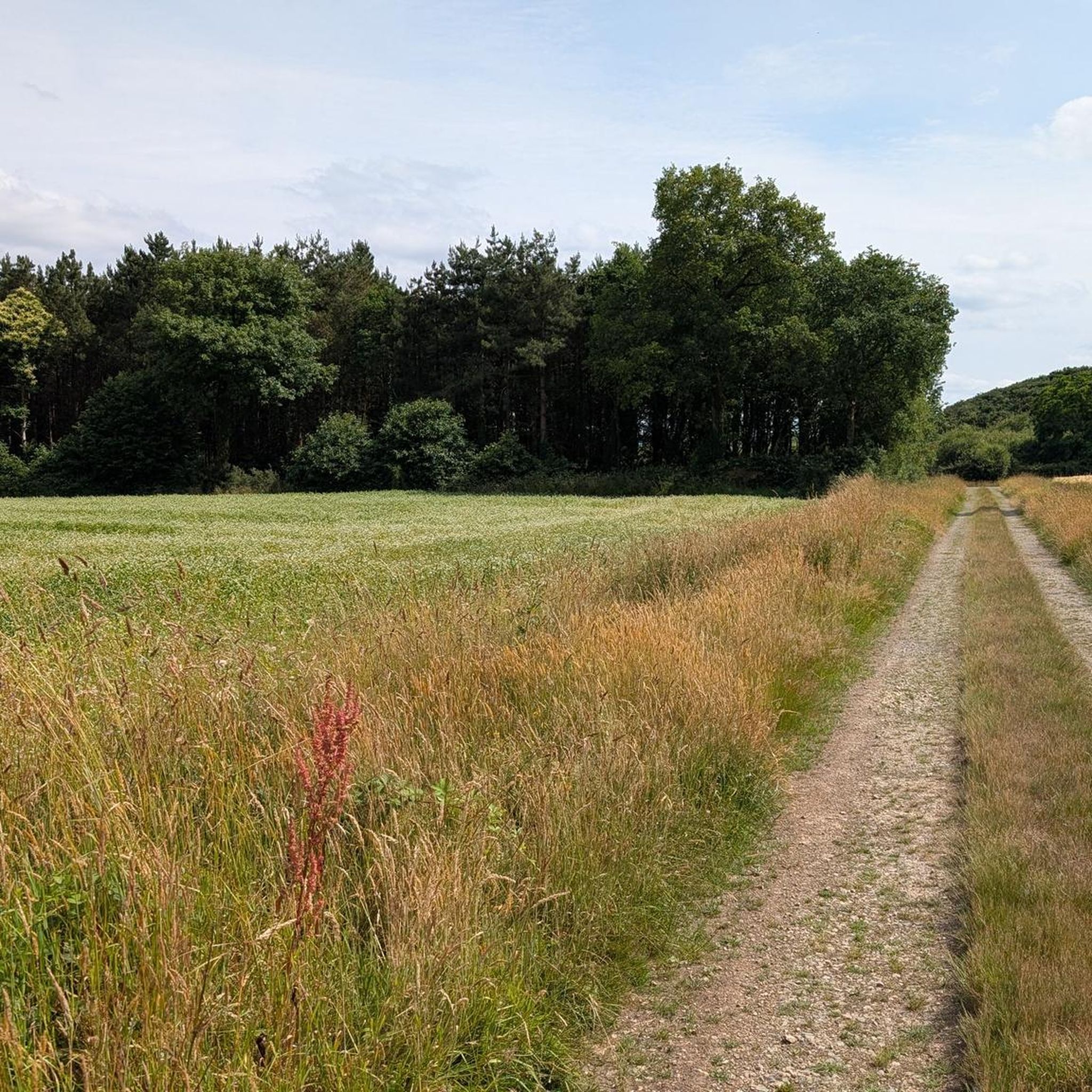
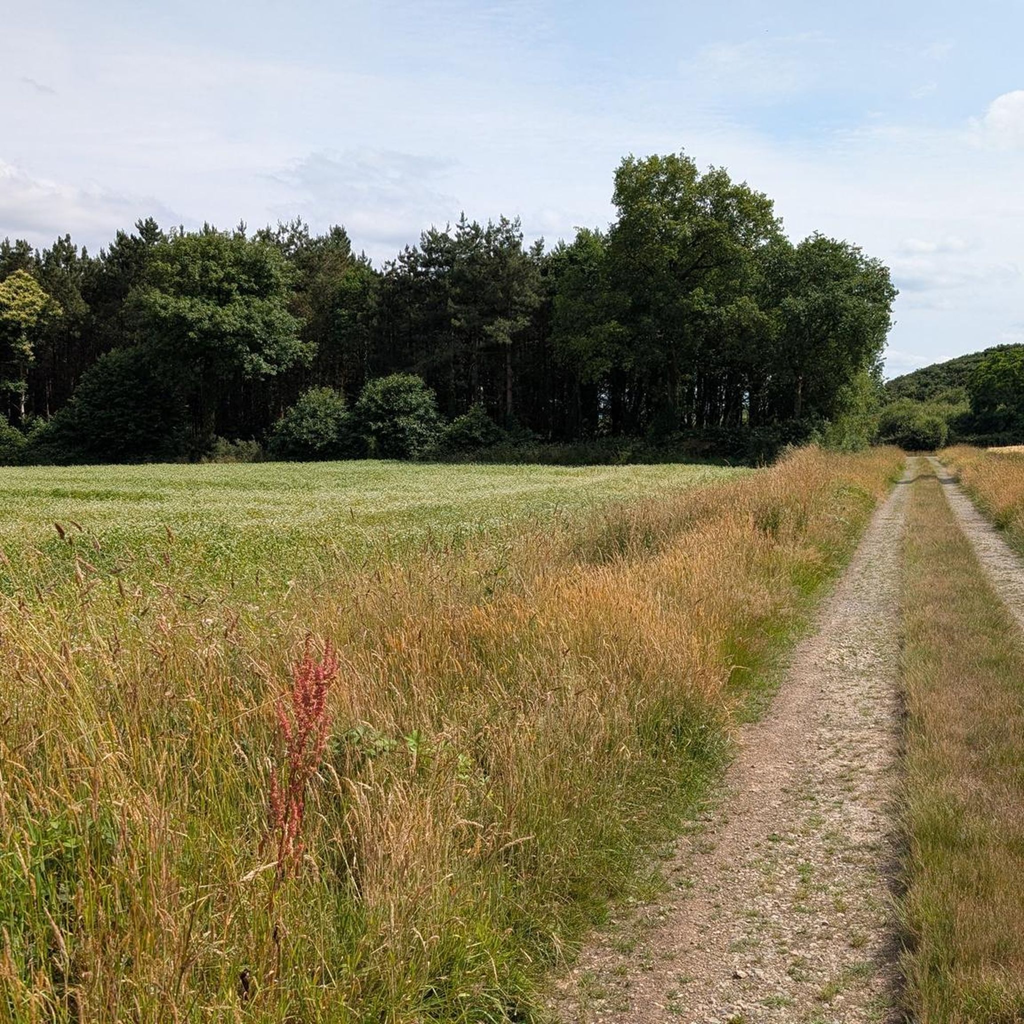
Hiking around La Couyère offers diverse landscapes, from green paths surrounded by trees to characteristic heaths and bocages. The region features the scenic valley of the Brutz and traces of ancient iron mines, which give some paths a reddish hue. These varied terrains provide a range of hiking opportunities for different fitness levels.
Best hiking trails around La Couyère
- The most popular hiking route is Rigaudière loop from Le Theil-de-Bretagne, a 6.5 miles (10.4 km) moderate trail that takes 2 hours 45 minutes to complete. This route explores the local countryside with varied terrain.
- Another top favourite among local hikers is Menhir du Champ de la Pierre loop from Saulnières, a difficult 13.1 miles (21.1 km) path. This trail features significant elevation changes and passes by the notable megalithic monument.
- Local hikers also love the Charmes loop from Tresbœuf, a 4.3 miles (6.9 km) trail leading through rural landscapes, often completed in about 1 hour 45 minutes.
- Hiking around La Couyère is defined by green paths, heaths, bocages, and the valley of the Brutz. The network offers options for different ability levels, from easy walks to more challenging routes.
- The routes in La Couyère are highly rated by the komoot community with an average score of 4.5 stars from over 70 reviews. More than 300 hikers have used komoot to explore La Couyère's varied terrain.
Last updated: July 4, 2026
4.5
(13)
48
hikers
10.4km
02:45
90m
90m
Moderate hike. Good fitness required. Easily-accessible paths. Suitable for all skill levels.
4.5
(8)
24
hikers
21.1km
05:34
200m
200m
Hard hike. Very good fitness required. Easily-accessible paths. Suitable for all skill levels.

Sign up for free
4.8
(4)
13
hikers
6.88km
01:48
50m
50m
Easy hike. Great for any fitness level. Easily-accessible paths. Suitable for all skill levels.
5.0
(3)
14
hikers
5.95km
01:34
60m
60m
Easy hike. Great for any fitness level. Easily-accessible paths. Suitable for all skill levels.
4.8
(4)
10
hikers
7.88km
02:02
40m
40m
Moderate hike. Good fitness required. Easily-accessible paths. Suitable for all skill levels.
Get access to more routes and recommendations from other explorers.
Sign up for free
Already have an account?
Our route recommendations are based on thousands of hikes, rides, and runs completed by other people on komoot.
Start today with a free account
Your next adventure awaits.
Login or Signup



Frequently Asked Questions
How many hiking trails are available around La Couyère?
La Couyère offers a wide selection of hiking opportunities, with nearly 30 routes available. These trails cater to various fitness levels, from easy strolls to more challenging excursions.
What kind of terrain can I expect on hikes in La Couyère?
Hikers in La Couyère will encounter diverse landscapes, including green paths winding through magnificent trees, characteristic heaths, and bocages. The region also features the scenic valley of the Brutz, and some paths even show traces of ancient iron mines with a distinctive reddish hue.
Are there any easy, family-friendly walks in La Couyère?
Yes, La Couyère has several easy routes perfect for families. An example is the Charmes loop from Tresbœuf, which is 6.9 km long and typically takes about 1 hour 45 minutes to complete. Another gentle option is the Chapel to visit loop from Le Sel-de-Bretagne, a 5.9 km route.
What are some notable landmarks or attractions to see while hiking in La Couyère?
The region is rich in history and natural beauty. A must-see is the impressive La Roche-aux-Fées Dolmen, a significant megalithic monument. You might also encounter the unique Saint-Maximilien-Kolbé Church with its Byzantine-style architecture. Some trails, like the Menhir du Champ de la Pierre loop from Saulnières, pass directly by these ancient sites.
Are there any challenging hiking routes for experienced hikers?
For those seeking a more strenuous adventure, the Menhir du Champ de la Pierre loop from Saulnières is classified as difficult. This 21.1 km path features significant elevation changes and offers a rewarding challenge for experienced hikers.
Can I find circular hiking routes in La Couyère?
Absolutely. Many of the trails in La Couyère are designed as loops, allowing you to start and end at the same point. Popular circular routes include the Rigaudière loop from Le Theil-de-Bretagne and the Pierre des Fées loop from Pierre des Fées.
What do other hikers say about the trails in La Couyère?
The hiking routes in La Couyère are highly regarded by the komoot community, boasting an average rating of 4.5 stars from over 70 reviews. Hikers often praise the varied terrain, the natural beauty of the green paths and heaths, and the well-maintained trails.
Is La Couyère suitable for dog-friendly hikes?
While specific dog-friendly regulations can vary by trail, the natural and rural character of La Couyère generally makes it a welcoming area for walks with dogs. It's always recommended to keep your dog on a leash, especially in areas with livestock or protected wildlife, and to check local signage for any specific restrictions.
What is the best time of year to go hiking in La Couyère?
La Couyère offers pleasant hiking conditions throughout much of the year. Spring and autumn provide mild temperatures and beautiful scenery with blooming flora or vibrant fall colors. Summer is also suitable, though it's advisable to start earlier in the day to avoid the midday heat. Winter hiking is possible, but some paths might be muddy, and appropriate gear is recommended.
Are there any routes that explore the unique geological features of the region?
Yes, the region's history of ancient iron mines has left its mark. Some paths feature a distinctive reddish hue, particularly in the valley of the Brutz, offering a unique geological dimension to your hike. While not a specific route, these traces can be observed on various trails throughout the area.
How long do hikes in La Couyère typically take?
Hikes in La Couyère vary in length and duration. Easy routes like the Charmes loop from Tresbœuf can be completed in under two hours, while moderate trails such as the Rigaudière loop from Le Theil-de-Bretagne take around 2 hours 45 minutes. More challenging routes, like the Menhir du Champ de la Pierre loop from Saulnières, can extend to over five hours.
Most popular routes around La Couyère
Most popular attractions around La Couyère

Get inspired with the komoot mobile app


Explore more
Browse the best Hikes in other regions.
