The best walks and hikes around Saulnières
4.5
(100)
579
hikers
67
hikes
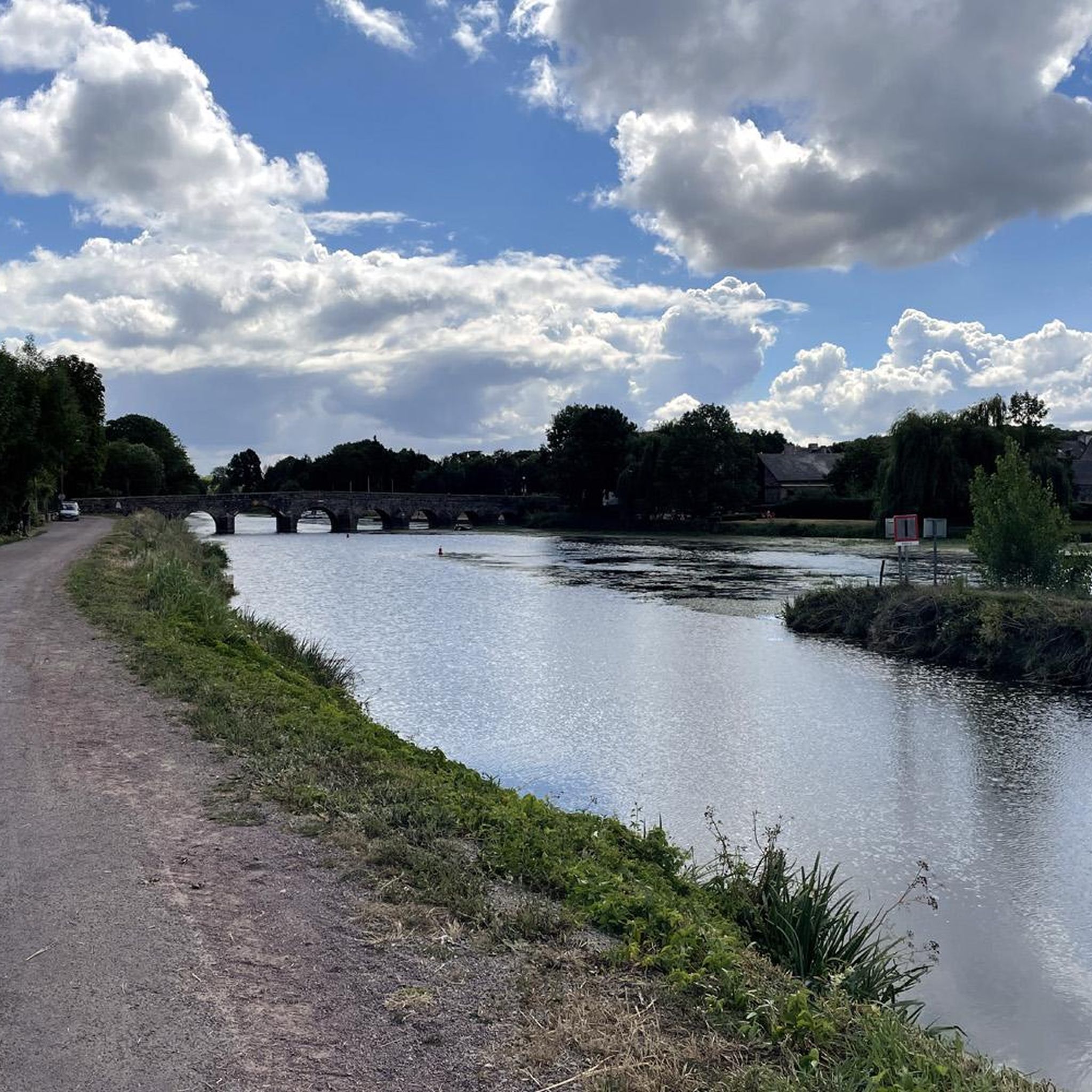
Hiking trails around Saulnières offer diverse landscapes for outdoor exploration. The region features communal forests, serene ponds, and sections along the banks of the Loire River. Hikers can experience varied topography, including hills and valleys, providing routes for different fitness levels. The area is characterized by its natural scenery and wildlife, with well-maintained trails traversing these features.
Best hiking trails around Saulnières
- The most popular hiking route is Menhir du Champ de la Pierre loop from Saulnières, a 13.1…
Last updated: July 4, 2026
4.5
(8)
24
hikers
21.1km
05:34
200m
200m
Hard hike. Very good fitness required. Easily-accessible paths. Suitable for all skill levels.
4.8
(4)
13
hikers
6.88km
01:48
50m
50m
Easy hike. Great for any fitness level. Easily-accessible paths. Suitable for all skill levels.

Sign up for free
5.0
(3)
14
hikers
5.95km
01:34
60m
60m
Easy hike. Great for any fitness level. Easily-accessible paths. Suitable for all skill levels.
4.8
(4)
10
hikers
7.88km
02:02
40m
40m
Moderate hike. Good fitness required. Easily-accessible paths. Suitable for all skill levels.
6
hikers
6.13km
01:38
70m
70m
Easy hike. Great for any fitness level. Easily-accessible paths. Suitable for all skill levels.
Get access to more routes and recommendations from other explorers.
Sign up for free
Already have an account?
Our route recommendations are based on thousands of hikes, rides, and runs completed by other people on komoot.
Start today with a free account
Your next adventure awaits.
Login or Signup




Frequently Asked Questions
How many hiking trails are available around Saulnières?
There are over 70 hiking routes around Saulnières, offering a wide range of options for all skill levels. You'll find a balanced mix of easy, moderate, and challenging trails to explore the region's diverse landscapes.
What kind of landscapes can I expect to see while hiking in Saulnières?
Hikers in Saulnières can explore a variety of natural settings, including communal forests, serene ponds, and picturesque sections along the banks of the Loire River. The region also features varied topography with hills and valleys, and some trails wind through famous vineyards, especially near Savennières.
Are there any easy hiking trails suitable for beginners or a relaxed outing?
Yes, Saulnières offers many accessible paths. For an easy and pleasant walk through the local countryside, consider the Charmes loop from Tresbœuf, which is about 6.9 km. Another great option is the Chapel to visit loop from Le Sel-de-Bretagne, a 5.9 km trail through rural landscapes.
What is the most challenging hike in the Saulnières area?
For those seeking a more challenging experience, the Menhir du Champ de la Pierre loop from Saulnières is a difficult route. This 21.1 km trail takes approximately 5 hours 34 minutes to complete and explores varied terrain around the ancient monolith.
Are there any circular hiking routes in Saulnières?
Yes, many trails in Saulnières are designed as loops, allowing you to start and end at the same point. Examples include the Charmes loop from Tresbœuf, the Chapel to visit loop from Le Sel-de-Bretagne, and the Pierre des Fées loop from Pierre des Fées.
What do other hikers enjoy most about hiking in Saulnières?
The hiking routes in Saulnières are highly rated by the komoot community, with an average score of 4.6 stars from over 90 reviews. Hikers often praise the diverse terrain, from communal forests to riverbanks, and the well-maintained trails that cater to various ability levels.
Are there any interesting landmarks or attractions to see along the hiking trails?
Yes, the region offers several points of interest. You might encounter the ancient Bécherelle stone, which adds a rugged element to the landscape. For cultural interest, consider visiting the Saint-Maximilien-Kolbé Church. Some trails also lead through areas with historical significance, like the Mill trail.
Can I find trails that pass through vineyards in Saulnières?
Yes, particularly in areas like Savennières near Saulnières, you can find paths that wind through famous vineyards. These trails offer a unique opportunity to observe the winemaking process alongside natural beauty, especially pleasant in spring and late summer.
What is a moderate hiking option in Saulnières?
For a moderate hike, consider the Pierre des Fées loop from Pierre des Fées. This route covers approximately 7.9 km and offers a balanced challenge for those looking for something between easy and difficult.
Are there any trails that go through forests?
Absolutely. Saulnières is known for its communal forests. Many trails, such as the Bois du Chalonge loop from Le Petit-Fougeray, traverse these wooded areas, providing tranquil routes and opportunities to enjoy the natural scenery and wildlife.
What is the best time of year to hike in Saulnières?
The region's diverse landscapes, including vineyards and forests, make spring and late summer particularly pleasant times for hiking. These seasons offer comfortable temperatures and vibrant scenery, whether you're observing vineyard work or enjoying the lush greenery of the forests.
Most popular routes around Saulnières
Most popular attractions around Saulnières

Get inspired with the komoot mobile app


Explore more
Browse the best Hikes in other regions.
