The best running trails around Vaux-Sur-Seine
4.3
(458)
19,684
runners
782
runs
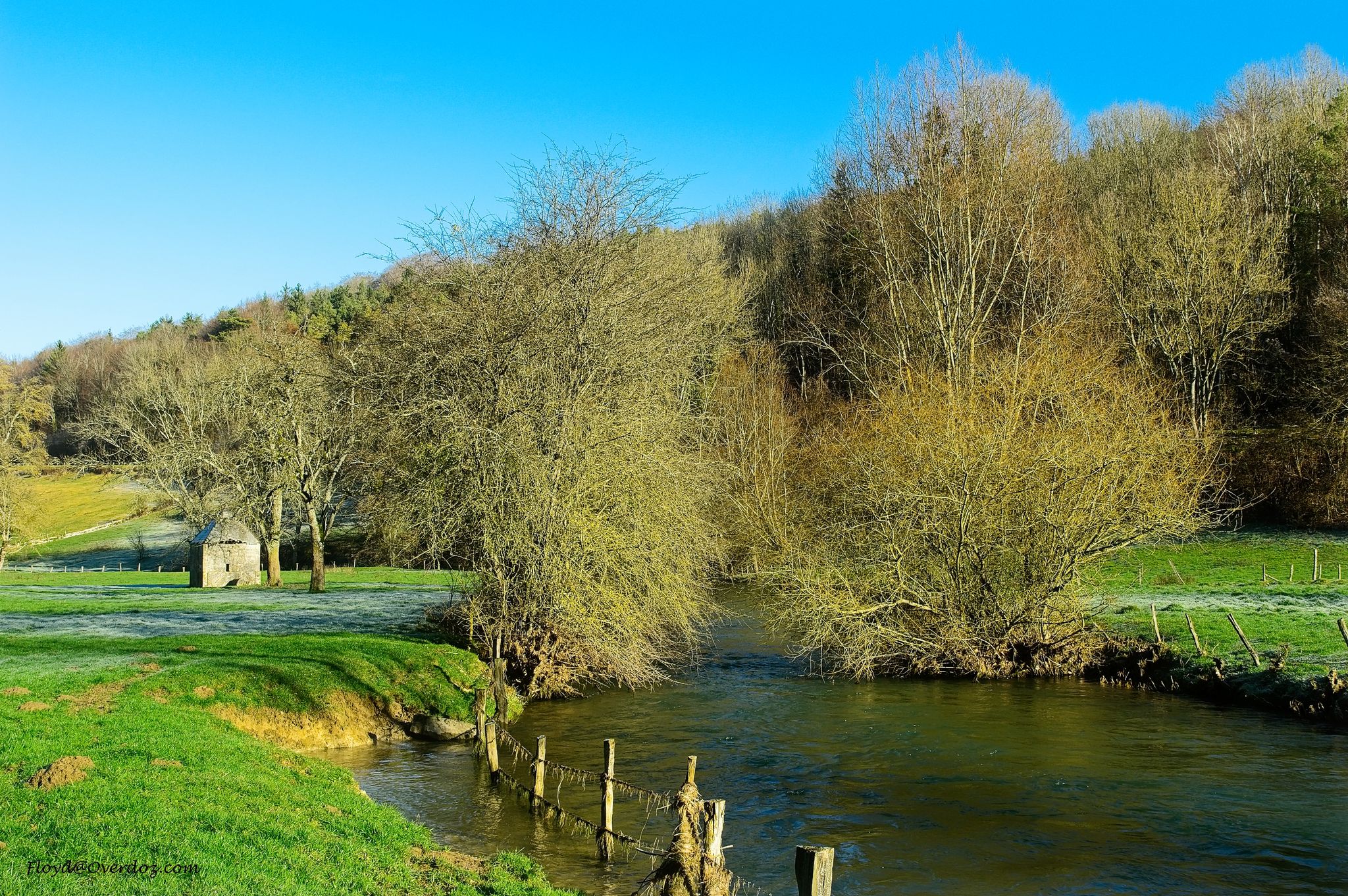
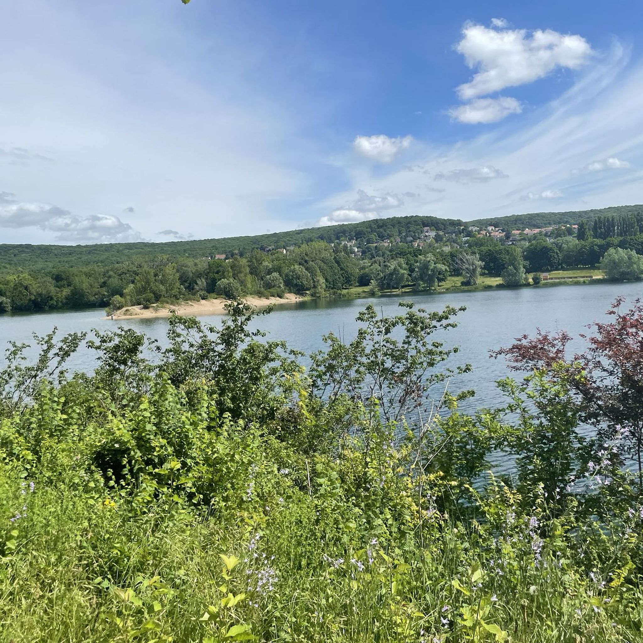
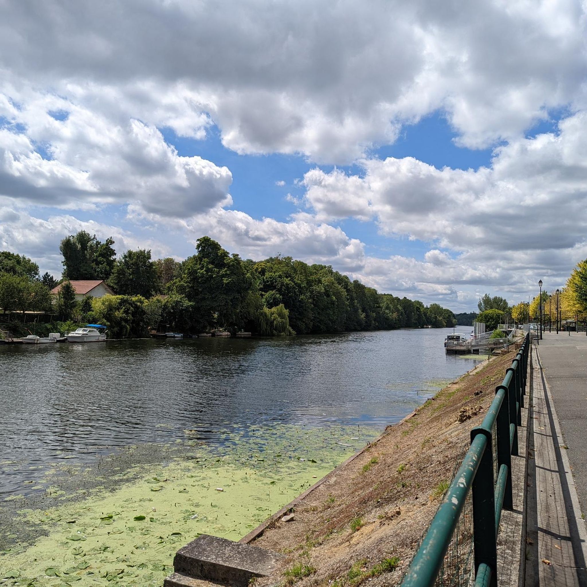
Jogging routes around Vaux-Sur-Seine offer access to varied natural landscapes within the Regional Natural Park of French Vexin. The area features tranquil riverside paths along the Seine River, extensive forest trails in the Forêt Domaniale de l'Hautil, and diverse terrain including valleys, orchards, and limestone hills. These natural features provide a range of surfaces and inclines for runners, from flat riverbanks to more undulating forest paths.
Best jogging routes around Vaux-Sur-Seine
- The most popular jogging route is Running loop from…
Last updated: October 21, 2026
94
runners
2.94km
00:19
10m
10m
Easy run. Mostly paved surfaces.
77
runners
Moderate run. Good fitness required. Mostly paved surfaces.

40
runners
12.5km
01:30
170m
170m
Moderate run. Good fitness required. Mostly paved surfaces.
3.0
(2)
25
runners
9.37km
00:59
90m
90m
Moderate run. Good fitness required. Mostly paved surfaces.
26
runners
5.97km
00:37
10m
10m
Moderate run. Good fitness required. Mostly paved surfaces.
Get access to more routes and recommendations from other explorers.
Already have an account?
Our route recommendations are based on thousands of hikes, rides, and runs completed by other people on komoot.
Start today with a free account
Your next adventure awaits.


Other adventures around Vaux-Sur-Seine

Tips from the Community

we sneak in, making ourselves very small
1
0

magnificent long single!
0
0

Sandy beach on the Seine
0
0

small single west to east but watch out for brambles in summer and high branches the ceiling is low
1
0

Super long single, at the end of the first part, its starting to go downhill until the end and it's cool
0
0

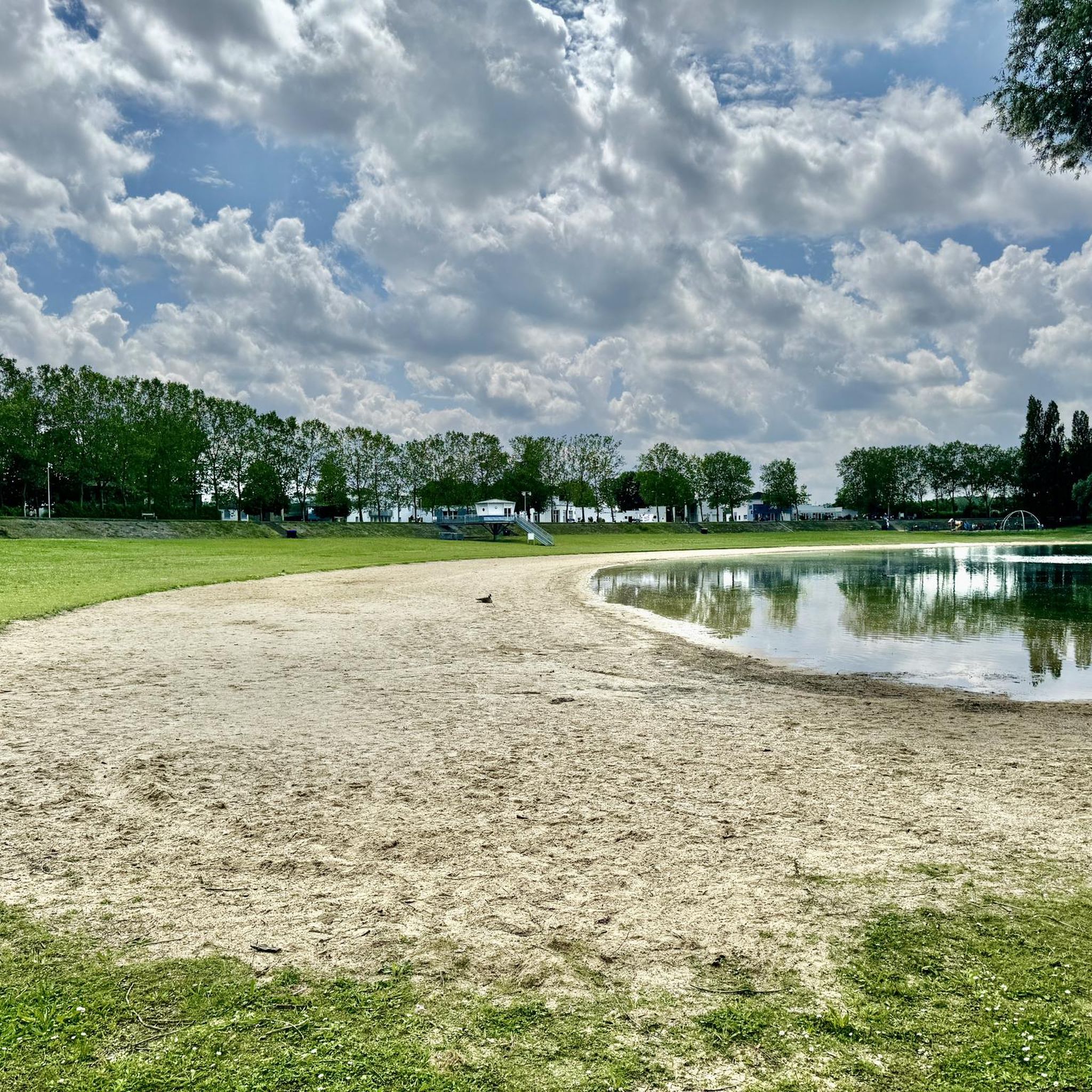
The beach at Ile de Loisirs Val-de-Seine is one of the rare sandy beaches in the region. Although it is quite popular in high season, you will usually find enough space to enjoy it!
0
0
Frequently Asked Questions
How many running routes are available in Vaux-sur-Seine?
Vaux-sur-Seine offers a wide selection of running routes, with over 780 trails recorded on komoot. This includes approximately 65 easy routes, 590 moderate routes, and 128 more challenging options, ensuring there's something for every runner.
What kind of terrain can I expect on the running trails around Vaux-sur-Seine?
The running trails in Vaux-sur-Seine feature a diverse landscape. You'll find picturesque riverside paths along the Seine, extensive forest trails within the Forêt Domaniale de l'Hautil, and varied terrain characteristic of the Regional Natural Park of French Vexin, including valleys, orchards, and limestone hills. This provides a mix of flat sections and gentle inclines.
Are there family-friendly running paths in Vaux-sur-Seine?
Yes, Vaux-sur-Seine has several family-friendly running paths. Many of the easy routes are suitable for families. For example, the Running loop from Mézy-sur-Seine is an easy 2.6-mile (4.2 km) trail with minimal elevation, perfect for a relaxed family run.
Can I bring my dog on the jogging routes in Vaux-sur-Seine?
Many of the natural trails and forest paths in the Vaux-sur-Seine area, particularly within the Forêt Domaniale de l'Hautil and along the Seine, are suitable for running with dogs. It's always recommended to keep your dog on a leash, especially in protected natural areas, and to check local regulations for specific parks or reserves.
Are there circular running routes available in the region?
Yes, the majority of running routes around Vaux-sur-Seine are circular, allowing you to start and finish at the same point. This makes planning your run and parking much more convenient. An example is the Running loop from Vaux-sur-Seine, a moderate 3.2-mile (5.1 km) path.
What natural features or landmarks can I see while running in Vaux-sur-Seine?
Runners can enjoy a variety of natural features and landmarks. You might encounter the scenic confluence of the Seine and Oise rivers, explore the dense Forêt Domaniale de l'Hautil, or pass by tranquil spots like Corra Pond. Historic sites such as Villette Castle or Château de Grouchy and its ponds are also accessible near some routes.
When is the best time of year to go running in Vaux-sur-Seine?
The spring and autumn months generally offer the most pleasant conditions for running in Vaux-sur-Seine, with mild temperatures and beautiful scenery as nature awakens or changes colors. Summer can be warm, so early morning or late evening runs are advisable. Winter running is also possible, especially on well-maintained paths, though some forest trails might be muddy.
What do other runners enjoy most about jogging in Vaux-sur-Seine?
The running routes in Vaux-sur-Seine are highly rated by the komoot community, with an average score of 4.3 stars from over 320 reviews. Runners often praise the varied natural topography, the peaceful riverside paths, and the extensive forest trails that provide a refreshing escape into nature.
Are there any longer, more challenging running routes for experienced runners?
Yes, for experienced runners seeking a challenge, there are several longer and more difficult routes. The Bois de l'Hautil loop from Les Clos is a difficult 11.6-mile (18.6 km) route with significant elevation gain, offering a demanding workout through the forest.
Is Vaux-sur-Seine accessible by public transport for runners?
Vaux-sur-Seine is located within the Île-de-France region, making it generally accessible by public transport from Paris and surrounding areas. Checking local train (Transilien) or bus schedules to Vaux-sur-Seine or nearby towns like Mézy-sur-Seine or Menucourt is recommended to plan your journey to the trailheads.
Where can I find parking near the running trails in Vaux-sur-Seine?
Parking is typically available in the villages and towns adjacent to the main trailheads, such as Vaux-sur-Seine itself, Mézy-sur-Seine, or Menucourt. For routes within the Forêt Domaniale de l'Hautil, designated forest parking areas can often be found. It's advisable to check specific route descriptions for the most convenient parking spots.
Can I combine my run with a visit to a regional park?
Absolutely. Vaux-sur-Seine is nestled within the Regional Natural Park of French Vexin, meaning many running routes directly traverse or are adjacent to this expansive park. This allows you to fully immerse yourself in the park's diverse landscapes, from valleys and orchards to limestone hills and woods. You can learn more about the park at visitparisregion.com.
Most popular routes around Vaux-Sur-Seine
Most popular attractions around Vaux-Sur-Seine

Get inspired with the komoot mobile app


Explore more
Browse the best Running Trails & Routes in other regions.
