The 9 Most Amazing Peaks around Lalaye
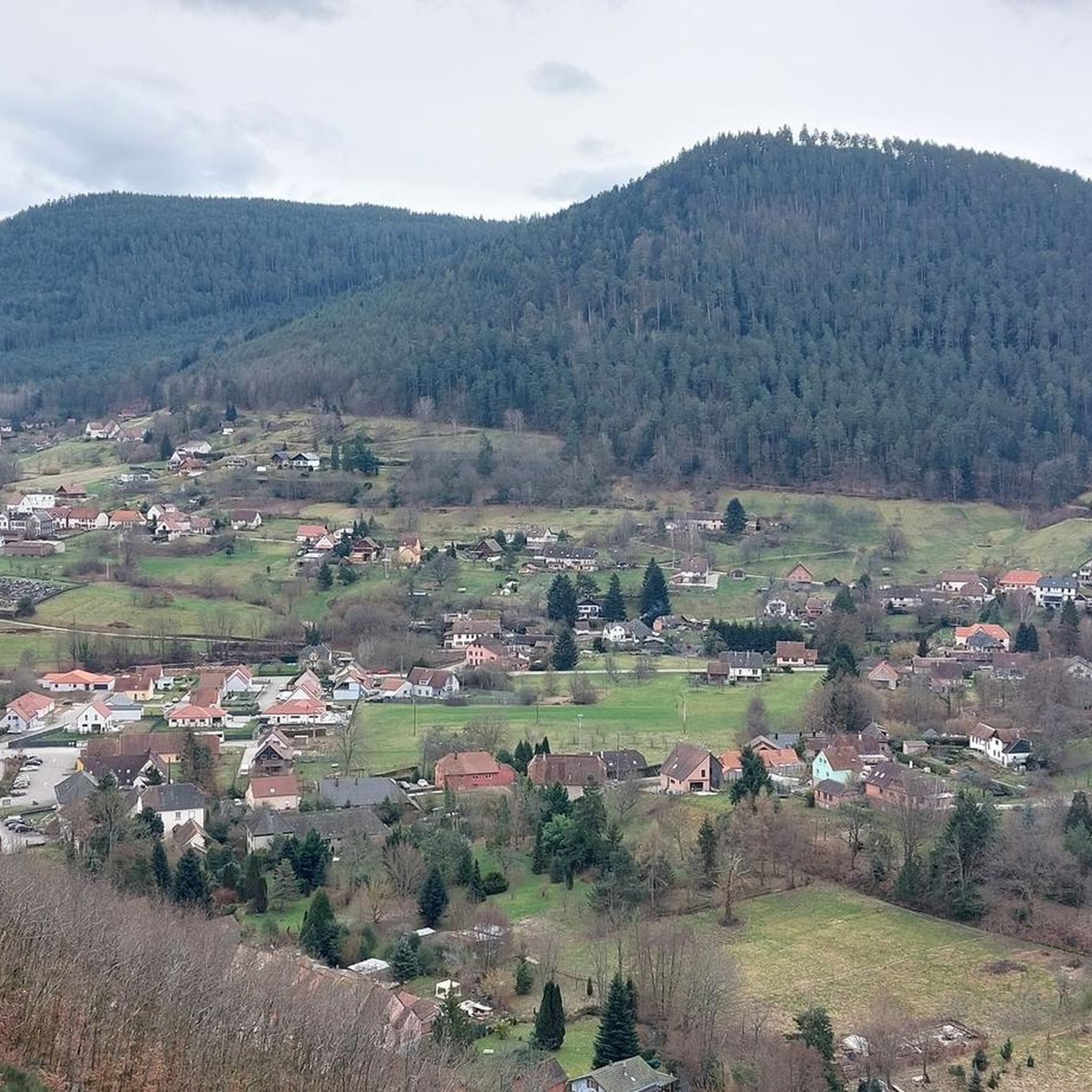
Best mountain peaks around Lalaye are situated in the Vosges Mountains in north-eastern France. This region is characterized by its accessible mountains and ridges, offering varied mountain terrain for exploration. The natural landscape of Grand Est provides opportunities for hiking and enjoying the outdoors. Lalaye is surrounded by peaks like the Honel ridge and Kohlberg, making it a destination for those seeking mountain adventures.
Best mountain peaks around Lalaye
- The most popular mountain peaks is Champ du Feu, a…
Last updated: October 10, 2026
Champ du Feu
Highlight • Summit
Translated by Google •
Tip by

Kutzig Buech Shelter
Highlight • Natural Monument
Translated by Google •
Tip by

Sign up now to discover places like this
Get recommendations on the best single tracks, peaks, & plenty of other exciting outdoor places.
The Ramelstein
Highlight • Summit
Translated by Google •
Tip by

Falkenstein Rock
Highlight • Climb
Translated by Google •
Tip by

Hering Tower on Ungersberg
Highlight • Viewpoint
Translated by Google •
Tip by

Sign up for free to discover even more peaks around Lalaye.
Already have an account?
Start today with a free account
Your next adventure awaits.

Tips from the Community

Great dry spot of earth for approx. 10 people
3
0

A large rest area with a good shelter. If necessary, you can also bivouac in it.
5
0
Besides the beautiful forest, there is nothing to see here.
1
0

Beautiful climbing rock for the whole family
0
0

Beautiful rest area with shelter and numerous seating areas... Perfect spot for a rest or even an overnight stay
3
0
Highest point in the Taennchel massif... Since there's no view, there's not much going on here... the rocks are perfect for a break...
1
0


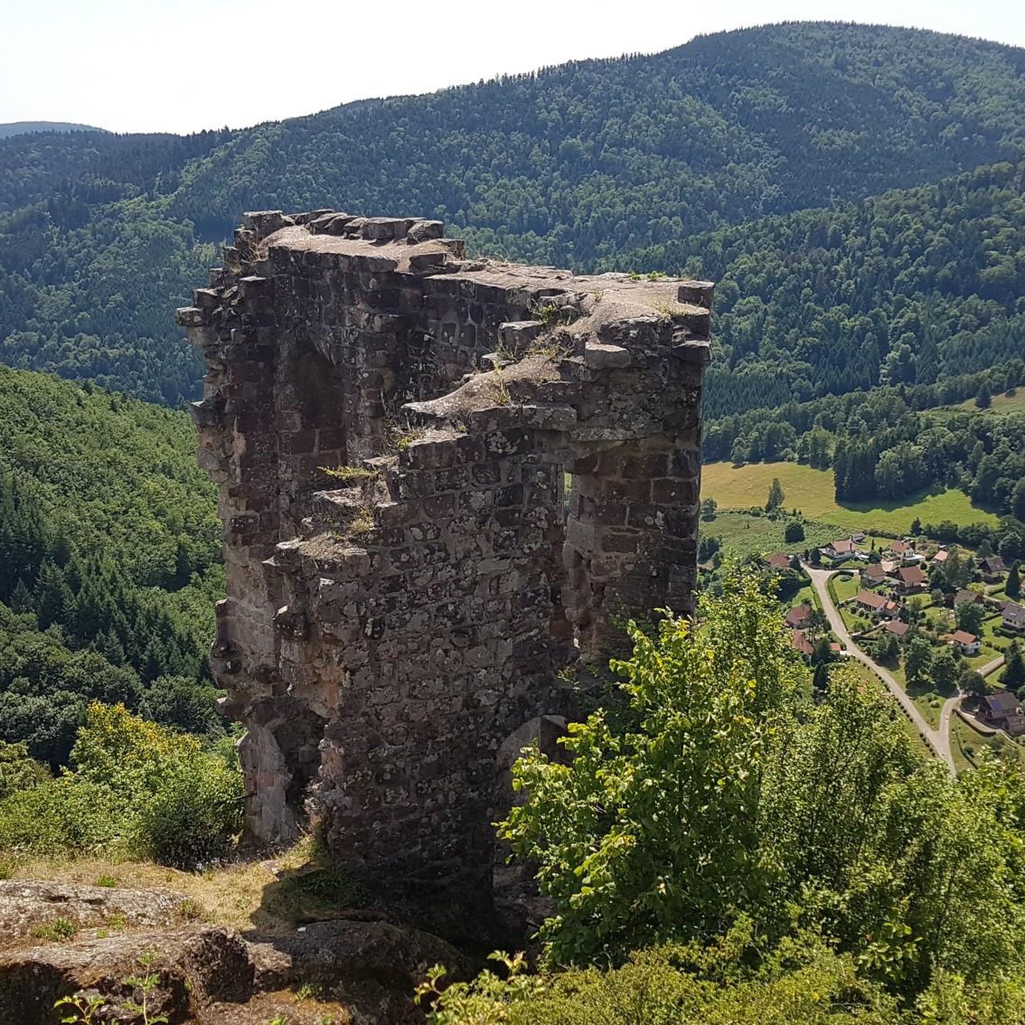
Rock equipped for climbing. Breathtaking view of the valley.
0
0
Frequently Asked Questions
What are some popular mountain peaks and viewpoints around Lalaye?
The region around Lalaye, situated in the Vosges Mountains, offers several notable peaks and viewpoints. Champ du Feu is a popular mountainous area known for its panoramic views and dense forests, also a destination for cycling and enjoying nature. Another excellent spot is the Hering Tower on Ungersberg, which provides a panoramic view of the plain of Alsace and the surrounding peaks from its lookout tower.
Are there family-friendly spots among the mountain peaks near Lalaye?
Yes, there are family-friendly options. The Kutzig Buech Shelter is a natural monument that offers a very nice rest area with benches and a hut, providing a shady spot on the ridge of the Taennchel massif. It's suitable for families looking for a place to relax during their hike.
What kind of natural features can I expect to see around Lalaye's peaks?
The mountain peaks around Lalaye are characterized by diverse natural features. You'll find dense forests, especially around Champ du Feu, and rocky paths with great views, such as at Hagelstein. The region also features open plateaus and ridges, offering varied landscapes for exploration.
What outdoor activities can I do near the mountain peaks around Lalaye?
The area around Lalaye is excellent for various outdoor activities. You can enjoy hiking, running, and road cycling. For hiking, consider routes like the 'Petit Haut Pass – Rocher de la Salière loop' or 'Beautiful view over the Val de Villé – Blanc-Noyer Pass loop'. Running enthusiasts can explore trails such as the 'Kreuzweg Pass – Col de Steige loop'. Road cyclists have options like the 'Col de Steige – Champ du Feu loop'. You can find more details on these activities in the Hiking around Lalaye, Running Trails around Lalaye, and Road Cycling Routes around Lalaye guides.
What is the terrain and difficulty level of hiking around Lalaye's mountains?
The terrain around Lalaye's mountains varies, offering accessible ridges and more challenging ascents. Many routes are considered moderate in difficulty, such as the 'Petit Haut Pass – Rocher de la Salière loop' (13.6 km) or 'The Honel shelter – Beautiful view over the Val de Villé loop' (9.3 km). Some running routes, like the 'Kreuzweg Pass – Col de Steige loop' (45.5 km), are classified as difficult, indicating longer distances or more significant elevation changes.
When is the best time to visit the mountain peaks around Lalaye for hiking?
While specific seasonal data isn't provided, the Vosges Mountains, where Lalaye is located, are generally pleasant for hiking from spring through autumn. During these seasons, the weather is typically milder, and the trails are more accessible. Autumn is particularly picturesque with the changing foliage of green Chinese maple, red maple, and beech trees.
Are there any less-known or 'hidden gem' spots among the peaks near Lalaye?
While not a 'hidden gem' in the traditional sense, The Ramelstein, the highest elevation in the Taennchel massif at 989m, is described as a place for quiet rest on rocks rather than spectacular views. It offers a tranquil spot for those seeking solitude amidst the forest, away from more crowded viewpoints.
What do visitors enjoy most about the mountain peaks around Lalaye?
Visitors particularly enjoy the stunning panoramic views, dense forests, and the opportunities for cycling and connecting with nature, especially around Champ du Feu. The presence of well-maintained rest areas like the Kutzig Buech Shelter also contributes to a positive experience, providing comfortable spots to pause and appreciate the surroundings.
Can I find trails suitable for beginners around Lalaye's mountain peaks?
Many of the hiking and cycling routes around Lalaye are classified as moderate, suggesting they are accessible to those with a reasonable level of fitness. While there aren't specific 'beginner' classifications, the varied terrain and numerous trails mean that less strenuous sections or shorter loops can likely be found for those new to mountain hiking. The presence of rest areas also makes exploration more comfortable.
What is the highest point in the Taennchel massif near Lalaye?
The highest elevation in the Taennchel massif is The Ramelstein, reaching 989 meters. While it doesn't offer expansive views, it serves as a quiet resting spot amidst the forest.
Are there any historical or cultural landmarks associated with the mountain peaks in the Lalaye region?
While the region is primarily known for its natural beauty and outdoor activities, some man-made structures contribute to its character. The Hering Tower on Ungersberg, built by the Club Vosgien, is a notable landmark offering historical context to the area's appreciation for viewpoints. Additionally, the name 'Champ du Feu' is a French corruption of the German word 'Vieh', hinting at the historical agricultural use of the area for grazing cattle.
Most popular attractions around Lalaye

Get inspired with the komoot mobile app


Explore more
See even more amazing summits around Lalaye with these guides:
