Top 9 Mountain Passes around Lalaye
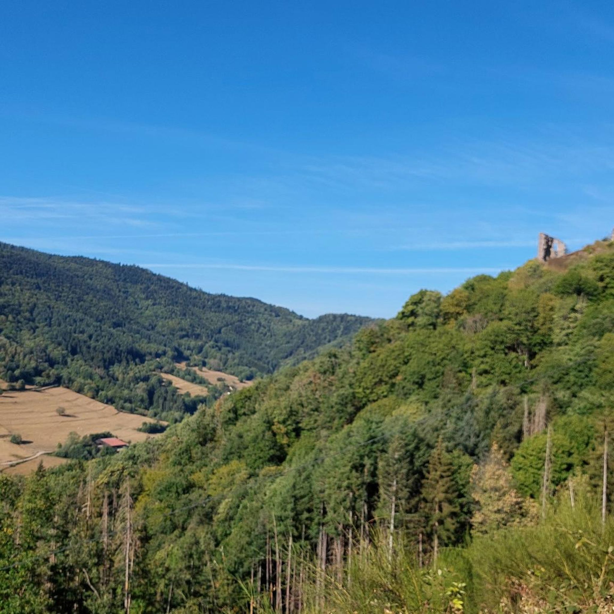
Best mountain passes around Lalaye are situated within the Vosges Mountains in the Bas-Rhin department of northeastern France. The commune itself lies at elevations ranging from approximately 297 to 822 meters, positioned on the southeastern flank of the Vosges. The area is characterized by its mountainous terrain, including the Honel ridge and the Blanc-Noyer peak, which dominates the region at 822 meters. This setting provides a natural landscape for outdoor activities.
Best mountain passes around Lalaye
- The most popular mountain…
Last updated: September 29, 2026
Champ du Feu
Highlight • Summit
Translated by Google •
Tip by

Charbonnière Pass
Highlight • Pub
Translated by Google •
Tip by

Sign up now to discover places like this
Get recommendations on the best single tracks, peaks, & plenty of other exciting outdoor places.
Kreuzweg Pass
Highlight • Mountain Pass
Translated by Google •
Tip by
Col de Steige
Highlight • Mountain Pass
Translated by Google •
Tip by
Salcée Pass
Highlight • Mountain Pass
Translated by Google •
Tip by
Sign up for free to discover even more mountain passes around Lalaye.
Already have an account?
Start today with a free account
Your next adventure awaits.
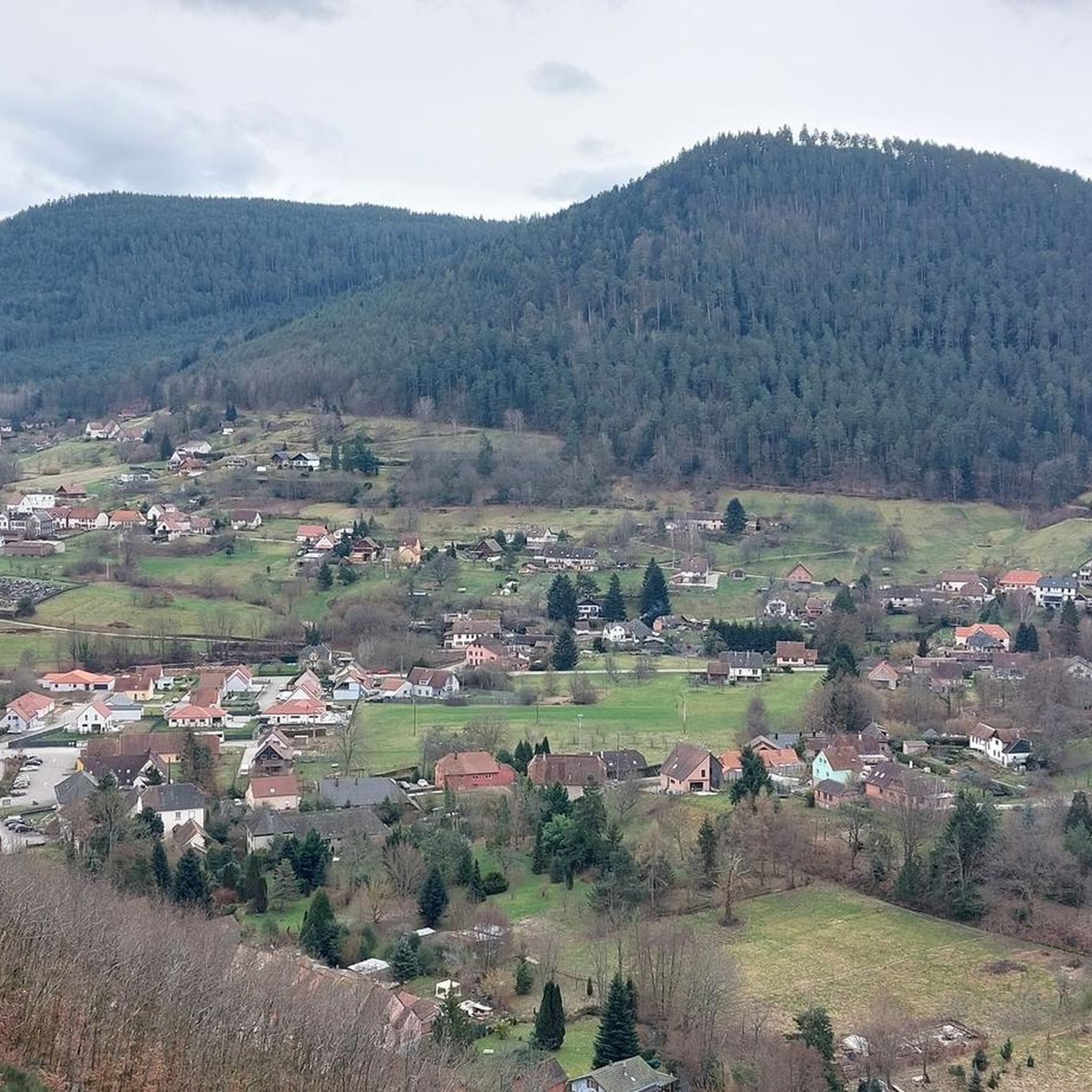
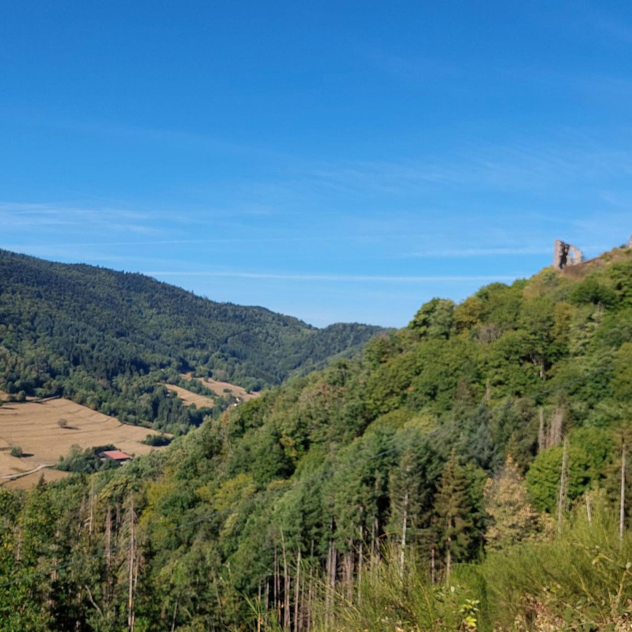
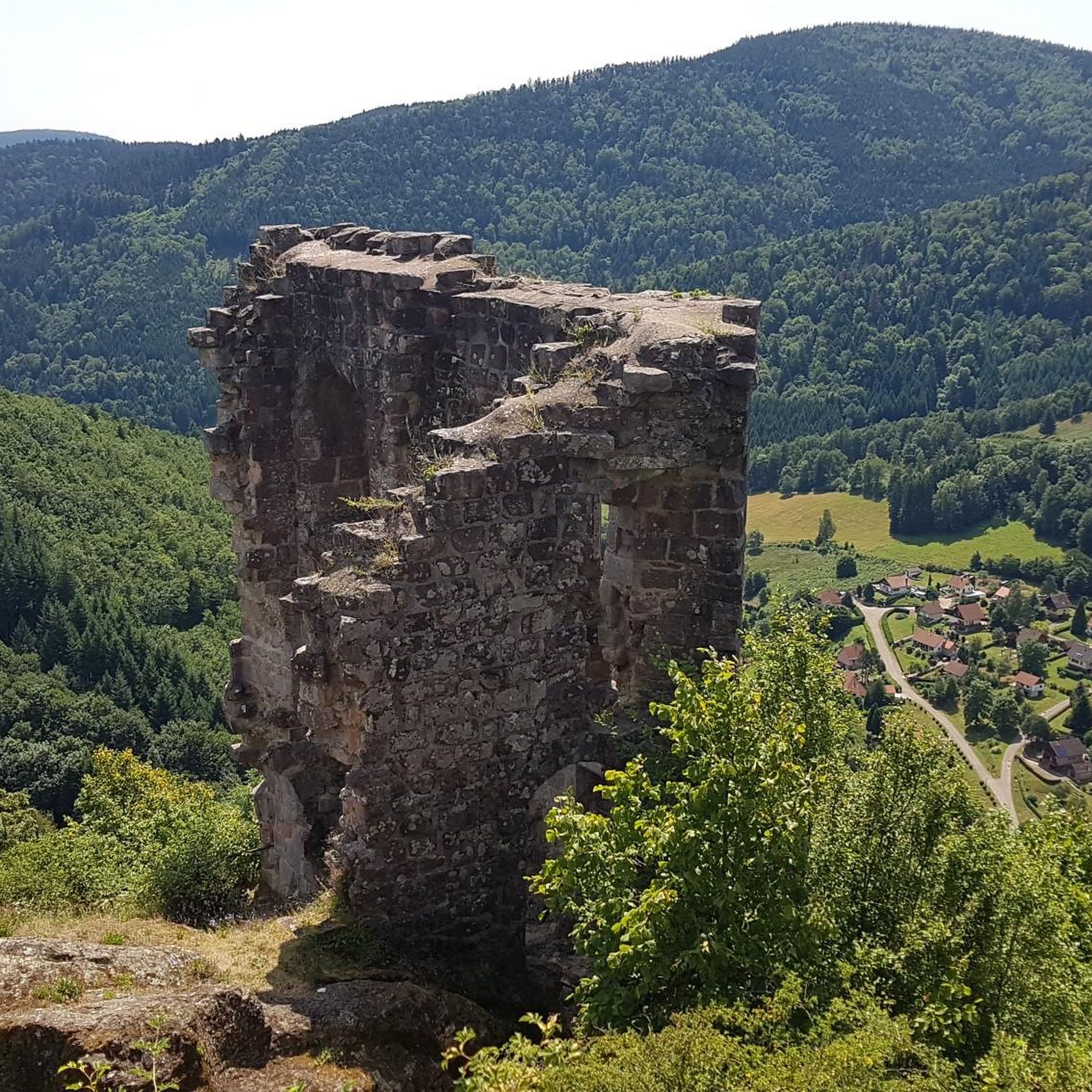

Tips from the Community


Magnificent pass to climb from different slopes (Breitenbach, Steige, Vallée de la Bruche, Andlau). It is also a crossing point towards the Champ du feu, the Hohwald, the Mont Ste Odile.
0
0

Pass culminating at 960 m altitude.
0
0

If you come from the Col de la Charbonnière, it is only a few meters uphill again and then you have already reached the top of the pass.
1
0

Halfway between the charming hamlet of Hohwald and the Champ du Feu station, the Kreuzweg pass offers a pleasant stopover. In the middle of the imposing forest of the massif, it offers unobstructed views at an altitude of 768 meters. It is a good place to spend the night in the mountains with the presence of two farm inns. There is also an adventure park for the enjoyment of young people.
0
0

Today the restaurant was completely full at 1 p.m. You should probably make a reservation here. TEL: +33 3 88 08 31 17
2
0

Once at the top, it's a different world with stunning views of the valleys!
2
0

The Col de la Salcée from Bourg-Bruche is 3.3 km long with a total drop of 97 m. The average gradient is 2.9% with maximum gradients of 6.9%.
2
0
Frequently Asked Questions
What makes the mountain passes around Lalaye a popular destination?
The mountain passes around Lalaye, situated within the Vosges Mountains, are cherished for their scenic beauty, dense forests, and diverse routes. They offer excellent opportunities for cycling, hiking, and enjoying nature. The komoot community has shown significant appreciation, contributing over 120 photos and more than 330 upvotes to these passes.
Which mountain passes near Lalaye offer the best panoramic views?
For stunning panoramic views, Champ du Feu is highly recommended. It's a prominent summit in Alsace known for its expansive vistas. Another pass offering beautiful views is Kreuzweg Pass, which provides picturesque scenery, especially when approached from Col de la Charbonnière.
Are there any intermediate mountain passes suitable for a stop or a meal?
Yes, Charbonnière Pass is an excellent intermediate stop. It's a meeting point for several county roads on the way up to Champ du Feu and features an auberge with a restaurant, making it ideal for a break and a meal. It's also considered family-friendly.
What outdoor activities can I enjoy near the mountain passes around Lalaye?
The region around Lalaye's mountain passes is perfect for various outdoor activities. You can find numerous routes for cycling, mountain biking, and gravel biking. For detailed routes and guides, explore options like Cycling around Lalaye, MTB Trails around Lalaye, and Gravel biking around Lalaye.
Are there specific routes for cycling enthusiasts in the Lalaye area?
Absolutely. The mountain passes offer varied gradients suitable for cyclists. For example, the Col de Steige offers different gradients depending on your approach, while Champ du Feu is a popular destination for cycling. You can find many cycling routes, including challenging ones like the 'Charbonnière Pass – Champ du Feu loop', in the Cycling around Lalaye guide.
Where can I find mountain biking trails near Lalaye's passes?
The mountainous terrain around Lalaye is well-suited for mountain biking. You can discover a range of trails, from moderate to difficult, such as the 'Frankenbourg Castle – Fairy Rock loop' or the 'Beautiful view over the Val de Villé – Great spot for a rest ! loop'. For a comprehensive selection of routes, refer to the MTB Trails around Lalaye guide.
Are there hiking opportunities around the mountain passes near Lalaye?
While specific hiking guides for the immediate passes aren't listed, the broader Vosges Mountains, where Lalaye is located, offer ample hiking opportunities. The nearby Parc Naturel Régional des Ballons des Vosges features numerous marked trails for enjoying the natural beauty and panoramic views. Many of the passes themselves, like Champ du Feu, are popular for walking and exploring dense forests.
What is the best time to visit the mountain passes around Lalaye?
The Vosges Mountains, including the passes around Lalaye, are generally beautiful throughout the warmer months, from spring to autumn, for cycling and hiking. During winter, areas like Champ du Feu become popular for skiing, indicating that the region offers activities year-round depending on your preference.
Are there any cultural or historical sites near the mountain passes?
While the passes themselves are primarily natural features, the broader region offers cultural and historical attractions. The area is close to the famous Alsatian Wine Route, known for its typical villages. Additionally, the historic Château du Haut-Koenigsbourg is a notable site within reach, offering a glimpse into the region's heritage.
What kind of natural features can I expect to see around the passes?
You can expect to encounter dense forests, especially around Champ du Feu and Kreuzweg Pass. Some passes, like Col de Steige, feature a scenic location with a small lake nearby. The overall landscape is characterized by mountainous terrain, offering exceptional natural settings and opportunities to observe local flora and fauna.
Are there any easy mountain passes near Lalaye for less strenuous activities?
Yes, some passes offer gentler gradients. For instance, the Col de Steige from Saint Martin has an average gradient of 2.57%, making it a more comfortable roll from the north. Similarly, Salcée Pass is another small pass that, depending on your direction, may require minimal climbing.
Most popular attractions around Lalaye

Get inspired with the komoot mobile app


Explore more
See even more epic mountain passes by checking out these guides around Lalaye:
