The best running trails around Meisengott
4.0
(75)
3,703
runners
295
runs
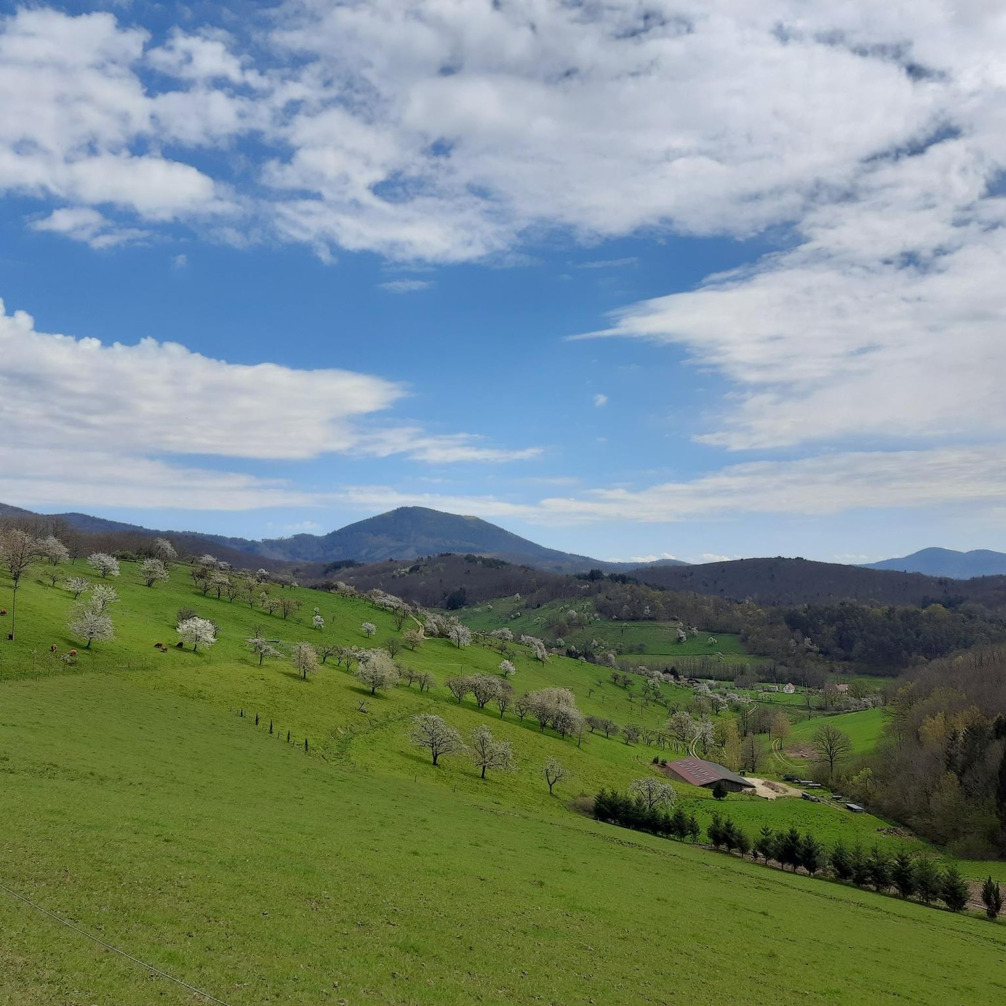
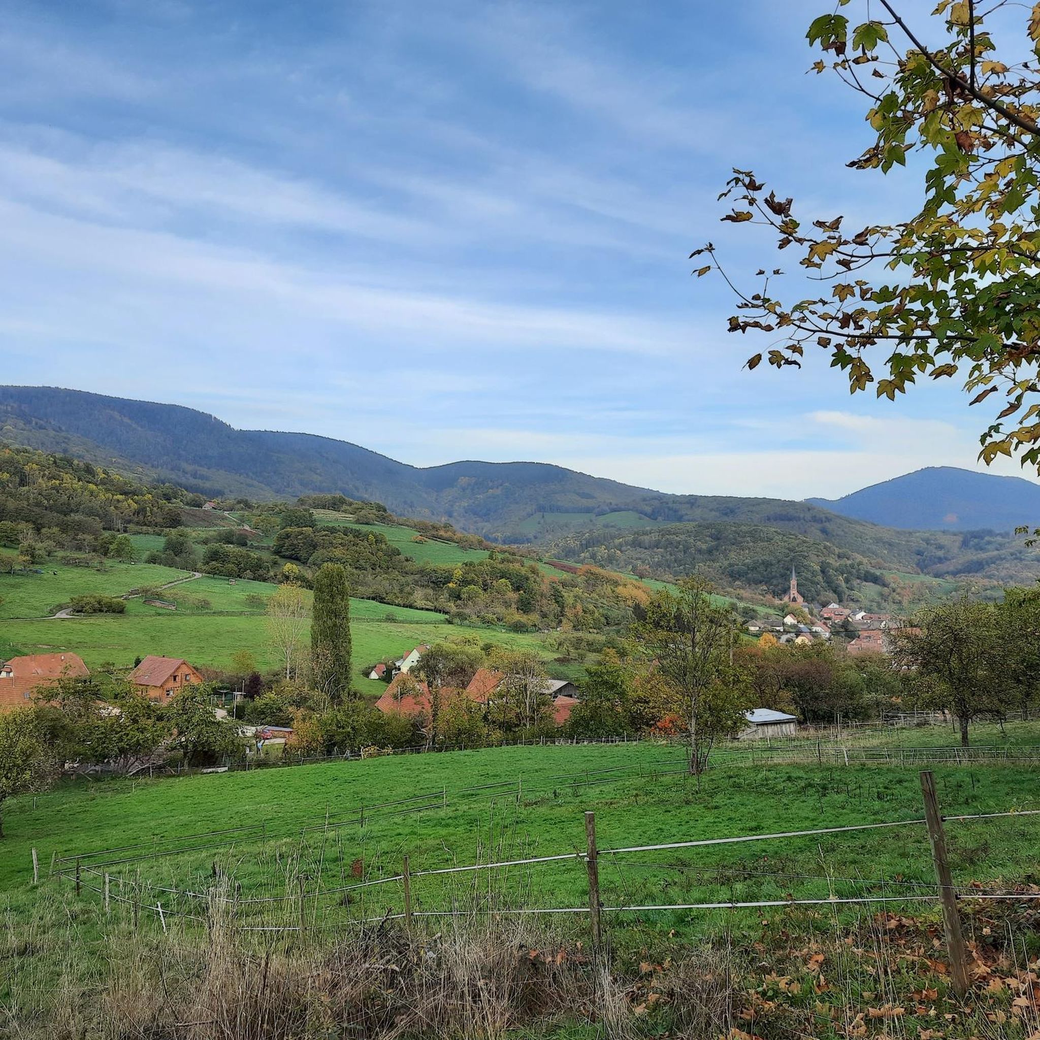
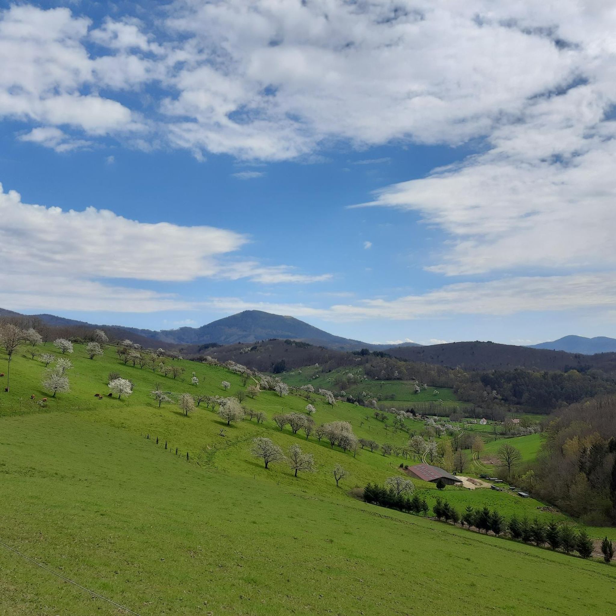
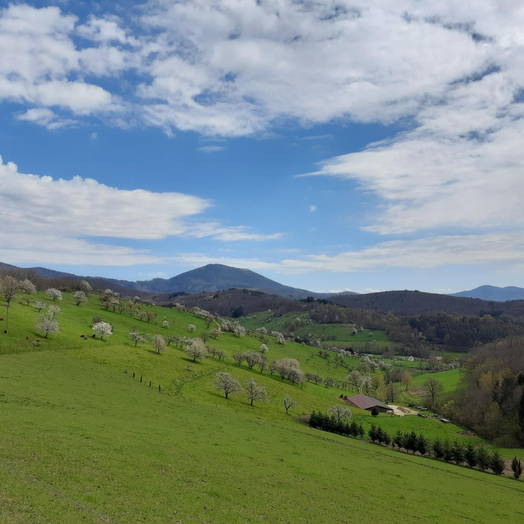
Jogging around Meisengott, officially Maisonsgoutte, offers diverse terrain within the Bas-Rhin department of Alsace, France. The region is situated in the Giessen valley at the foot of the Vosges mountains, characterized by hills ranging from 350 to 450 meters and the Roffling peak reaching 773 meters. Over 66% of the commune is covered by dense forests, providing shaded trails, alongside orchards and meadows that offer gentler running paths. This varied landscape provides options for both challenging and more relaxed running…
Last updated: October 8, 2026
4.0
(1)
173
runners
15.6km
02:06
540m
540m
Hard run. Very good fitness required. Mostly paved surfaces. Suitable for all skill levels.
19
runners
30.5km
04:28
1,380m
1,380m
Hard run. Very good fitness required. Sure-footedness, sturdy shoes and alpine experience required.

13
runners
18.7km
02:27
790m
790m
Hard run. Very good fitness required. Sure-footedness, sturdy shoes and alpine experience required.
9
runners
13.7km
01:39
350m
350m
Hard run. Very good fitness required. Mostly paved surfaces. Suitable for all skill levels.
7
runners
4.79km
00:33
90m
80m
Easy run. Great for any fitness level. Mostly paved surfaces. Suitable for all skill levels.
Get access to more routes and recommendations from other explorers.
Already have an account?
Our route recommendations are based on thousands of hikes, rides, and runs completed by other people on komoot.
Start today with a free account
Your next adventure awaits.

Tips from the Community

The ascent on a beautiful path with blueberries 🫐 and great views is stony and partly steep, but sensationally beautiful.
0
0

The Champ du Feu, at 1099 meters, is the highest mountain in the Bas-Rhin department in the Vosges in Alsace. It is located between the towns of Belmont and Le Hohwald and consists of a vast plateau with forests, meadows, and moorlands. The area is a popular nature and recreational area. In summer, it is mainly used for hiking, mountain biking, and nature observation. In winter, there is a small ski area with cross-country trails and simple slopes for winter sports. From the Champ du Feu, the La Serva stream originates, which later forms the Cascade de la Serva. In clear weather, the summit offers wide views over the Vosges, the Rhine plain, and even the Black Forest. The area is particularly known for its quiet nature, high moors, sunrises and starry skies, as well as well-marked hiking trails.
0
0


Magnificent pass to climb from different slopes (Breitenbach, Steige, Vallée de la Bruche, Andlau). It is also a crossing point towards the Champ du feu, the Hohwald, the Mont Ste Odile.
0
0

Pass culminating at 960 m altitude.
0
0

If you come from the Col de la Charbonnière, it is only a few meters uphill again and then you have already reached the top of the pass.
1
0
Frequently Asked Questions
How many running routes are available in Meisengott?
Meisengott, also known as Maisonsgoutte, offers a wide variety of running experiences with over 270 routes available. These range from moderate paths to more challenging trails, catering to different fitness levels.
What kind of terrain can I expect on the jogging trails around Maisonsgoutte?
The jogging trails around Maisonsgoutte feature diverse terrain. You'll find dense forests, varied hilly and mountainous landscapes, and the peaceful Giessen valley. The region is characterized by hills ranging from 350 to 450 meters, with peaks like Roffling reaching 773 meters, providing opportunities for significant elevation changes and scenic views.
Are there any easy or beginner-friendly running routes in the area?
While many routes in Meisengott are moderate to difficult, there are approximately 14 routes classified as easy. These typically offer gentler paths through orchards and meadows, providing a more relaxed jogging experience for beginners or those seeking a less strenuous run.
Can I find circular jogging routes in Meisengott?
Yes, many of the running routes in Meisengott are circular, allowing you to start and end at the same point. An example is the Running loop from Maisonsgoutte, a moderate 8.7 km trail that offers a convenient circular option directly from the village.
Are there any scenic viewpoints or natural landmarks to see while running?
Absolutely! The region is rich in natural beauty. You might encounter stunning views over the Val de Villé, especially on routes like the Beautiful view over the Val de Villé loop from Saint-Martin. Other notable landmarks and natural features in the wider area include the Champ du Feu summit and the unique high-altitude grasslands and peat bogs found in the southern Vosges mountains.
Are the running trails around Maisonsgoutte suitable for families?
Maisonsgoutte offers a variety of trails, and while many are challenging, some of the easier paths through orchards and meadows can be suitable for families looking for a gentle jog or walk. It's always recommended to check the difficulty and length of a specific route before heading out with children.
Are dogs allowed on the jogging paths in Meisengott?
Generally, dogs are welcome on trails in the Vosges mountains and surrounding areas, including Meisengott, especially within the extensive forest networks. However, it's always best to keep them on a leash, particularly in nature reserves or agricultural areas, and to respect local signage regarding pet regulations.
What do other runners say about the trails in Meisengott?
The running routes in Meisengott are highly rated by the komoot community, with an average score of 4.3 stars from over 40 reviews. Runners often praise the diverse terrain, the tranquility of the dense forests, and the challenging ascents that lead to rewarding views.
Are there any routes that pass by waterfalls?
Yes, the region around Meisengott features natural attractions including waterfalls. The Hohwald waterfall is a notable highlight in the vicinity, and some routes may pass close to it or other smaller cascades within the forested areas.
Is there public transport or parking available near the trailheads?
Maisonsgoutte is a small commune, and while specific public transport details for trailheads might be limited, parking is generally available within the village or at designated starting points for popular trails. For routes starting from nearby towns like Saint-Martin or Breitenbach, parking facilities are usually present.
What are some longer, more challenging running options in the Meisengott region?
For experienced runners seeking a challenge, the region offers several demanding routes. The Col de Steige – Julius Tower (Tour du Climont) loop from Saint-Martin is a difficult 30.6 km path with significant elevation gain, featuring a challenging ascent towards the Julius Tower. Another option is the Kreuzweg Pass – Champ du Feu loop from Breitenbach, an 18.7 km trail through dense forests and hilly terrain.
What is the "Chemin du Patrimoine" and can I jog on it?
The "Chemin du Patrimoine" (Heritage Trail) is a 6.5 km trail starting directly from the Maisonsgoutte town hall. It's designed to showcase the history of orchards and distillation in the Val de Villé. While primarily a walking trail, it offers a relatively gentle path that can be suitable for a relaxed jog, combining physical activity with cultural exploration.
Are there any places to stop for refreshments along the routes?
While many routes traverse natural, undeveloped areas, some trails might pass near villages or specific points of interest where refreshments are available. For example, the Charbonnière Pass is a known highlight in the area that could offer a stop for a drink or snack.
Most popular routes around Meisengott
Most popular attractions around Meisengott

Get inspired with the komoot mobile app


Explore more
Browse the best Running Trails & Routes in other regions.
