The best walks and hikes around Diebolsheim
4.5
(1465)
6,603
hikers
274
hikes
Hiking around Diebolsheim offers exploration of the unique Black Ried region in Alsace, France, characterized by its distinctive wet meadows and riparian forests. The area is influenced by the Rhine River and the Canal du Rhône au Rhin, providing flat, riverine landscapes. Trails often traverse the Taubergießen Floodplain, an ecologically rich natural idyll.
Best hiking trails around Diebolsheim
- The most popular hiking route is Taubergießen Wetlands – Dornskopf in the Taubergießen loop from Rheinau (gemeindefreies Gebiet), a 5.1 miles…
Last updated: July 11, 2026
4.6
(132)
392
hikers
Moderate hike. Good fitness required. Easily-accessible paths. Suitable for all skill levels.
4.6
(135)
394
hikers
Moderate hike. Good fitness required. Easily-accessible paths. Suitable for all skill levels.

Sign up for free
4.5
(12)
67
hikers
Moderate hike. Good fitness required. Easily-accessible paths. Suitable for all skill levels.
4.5
(24)
110
hikers
Moderate hike. Good fitness required. Easily-accessible paths. Suitable for all skill levels.
4.0
(6)
49
hikers
4.48km
01:08
10m
10m
Easy hike. Great for any fitness level. Easily-accessible paths. Suitable for all skill levels.
Get access to more routes and recommendations from other explorers.
Sign up for free
Already have an account?
Our route recommendations are based on thousands of hikes, rides, and runs completed by other people on komoot.
Start today with a free account
Your next adventure awaits.
Login or Signup
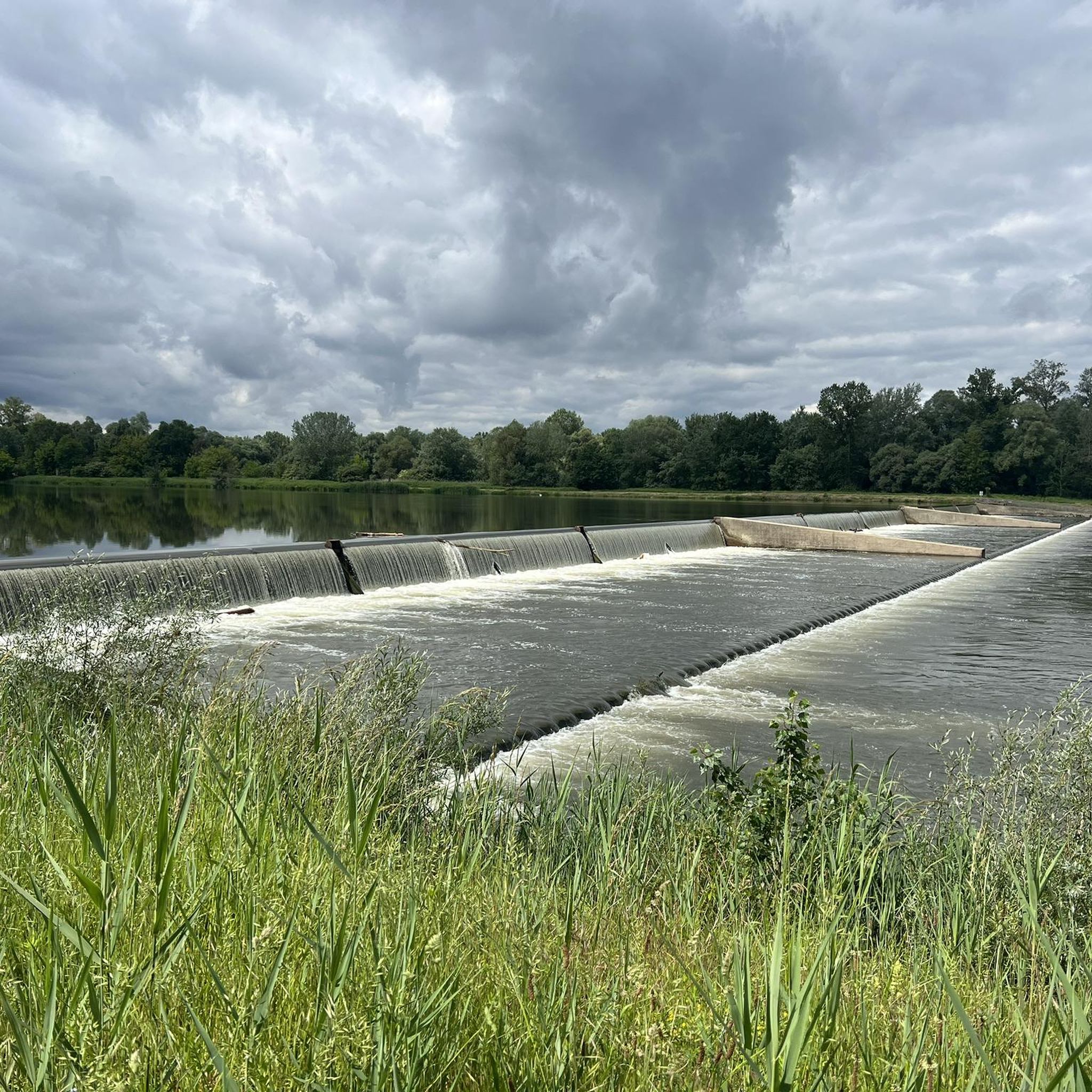
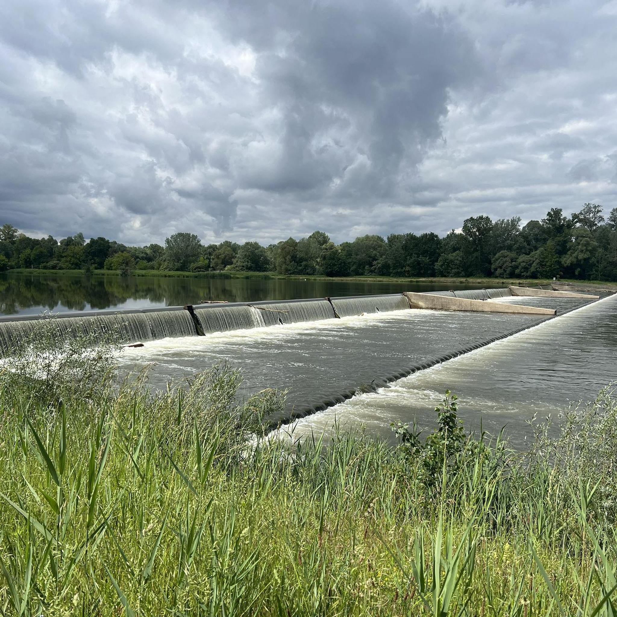
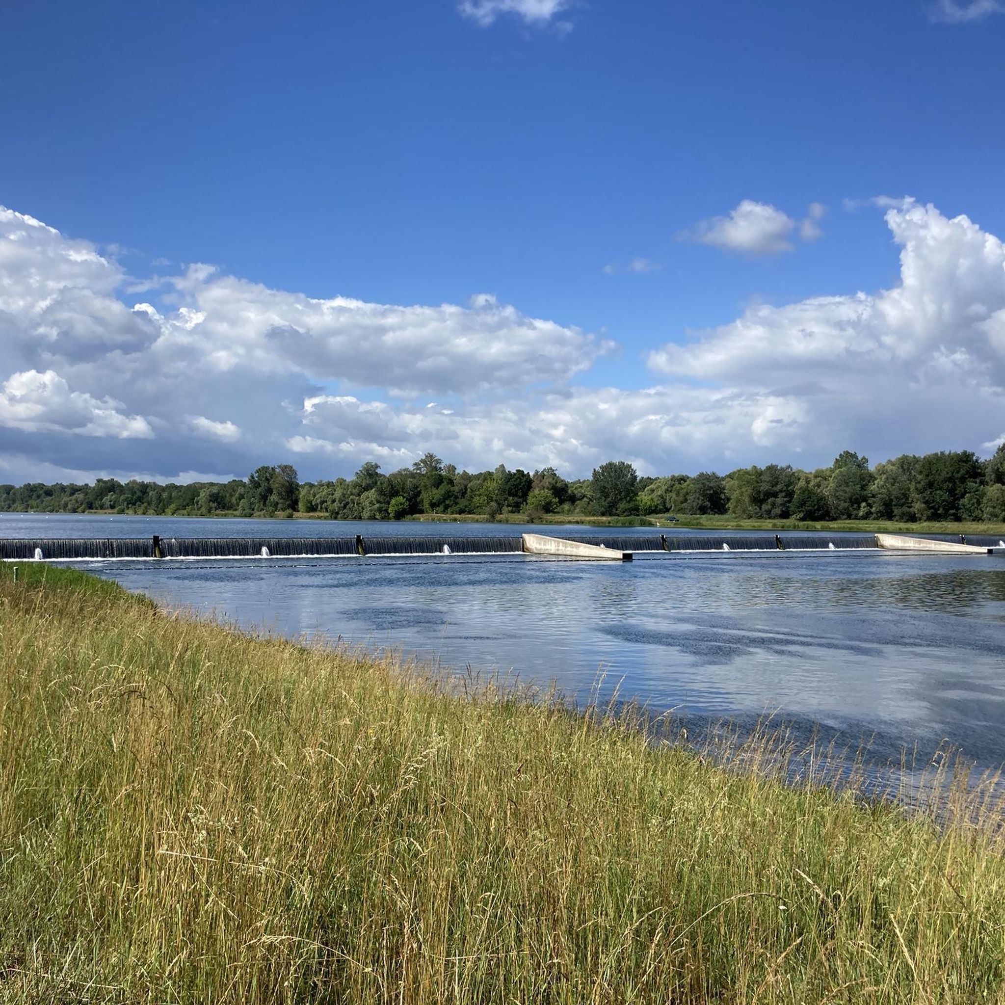
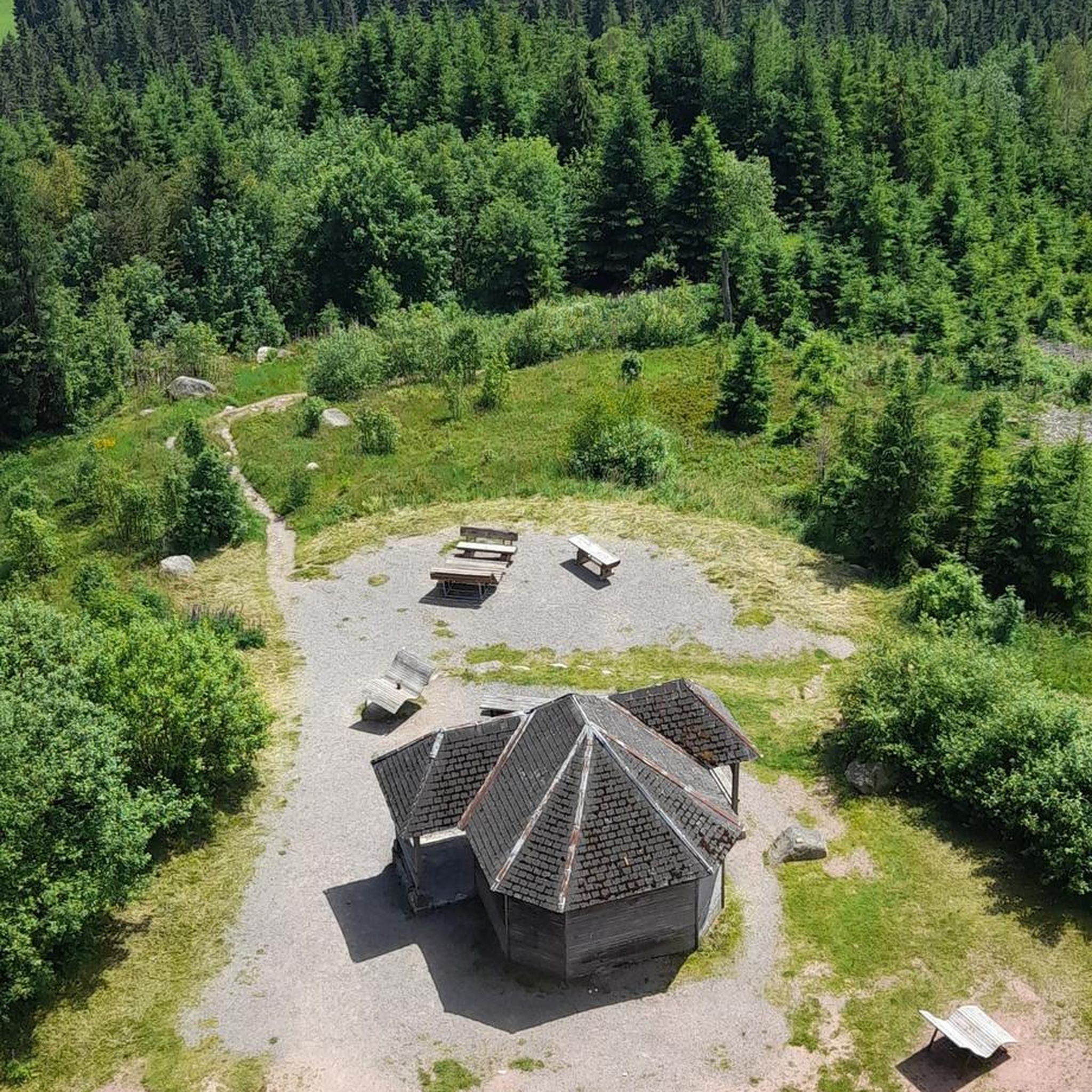
Tips from the Community

A small parking area with only a few spaces. An ideal starting point for all kinds of activities in the Taubergiessen nature reserve.
1
0

Some information about the bridge can be found at https://www.rust.de/die-neue-steinsporerbruecke-verbindet
1
0

The parking lot is located directly on the edge of the Taubergießen nature reserve near Rust and is the ideal starting point for hikes or runs in the floodplain landscape. Parking is free and allows for up to two hours with a parking disc. The location is quiet, surrounded by nature, and several well-marked trails into the nature reserve start from here.
8
0
The Dornskopf is a striking spot in the Taubergießen nature reserve, known for its typical floodplain landscape. Here, waterways branch out, surrounded by dense woodland and wet meadows. The area is particularly pristine and conveys the character of the old Rhine floodplain as it existed before the Rhine was straightened. With a bit of luck, you might spot rare bird species or signs of beavers. It's a place that exudes tranquility and showcases the wild beauty of the Taubergießen.
9
0
The Herrenkopf Bridge is a charming wooden bridge spanning one of the typical waterways of the Taubergießen nature reserve. Located in the heart of the nature reserve, it connects two idyllic sections of the floodplain landscape. From the bridge, there is a wonderful view of the clear water, surrounded by lush greenery and the typical features of the Rhine floodplain.
8
0
The path leads through a quiet, unspoiled section of forest, typical of the floodplain landscape. Tall trees line the trail on both sides, interspersed with small streams and damp patches that define the character of the area. The ground is muddy in places, especially after rain, but that's precisely what makes the path so authentic. Here you feel close to nature – birdsong, the rustling of leaves, and the scent of damp wood accompany every step.
8
0
A picturesque crossing in the heart of the nature reserve. The simple wooden bridge spans one of the typical waterways of the Taubergießen and offers a beautiful view of the floodplain landscape. Here you can often hear the gentle lapping of the water and, with a bit of luck, observe herons or other water birds.
8
0
By the water in the Taubergießen nature reserve – a bench used to stand here, but today the spot still invites you to linger. With a view of the tranquil river landscape, it's a perfect place to pause for a moment and enjoy nature – without any seating, but with plenty of atmosphere.
7
0
Frequently Asked Questions
What kind of landscapes can I expect to see while hiking around Diebolsheim?
Hiking around Diebolsheim offers a unique exploration of the Black Ried region in Alsace. You'll encounter distinctive wet meadows, riparian forests, and riverine landscapes influenced by the Rhine River and the historic Canal du Rhône au Rhin. Many trails traverse the ecologically rich Taubergießen Floodplain, known for its serene natural beauty.
How many hiking trails are available in Diebolsheim?
There are over 250 hiking routes around Diebolsheim, offering a wide variety of options for different preferences and abilities. The komoot community has explored these trails over 6,000 times.
Are there easy hiking options around Diebolsheim?
Yes, the area is very well-suited for easy hikes. Out of the 259 available routes, 188 are classified as easy, making them perfect for relaxed strolls or beginners. For example, the Dornskopf in the Taubergießen – Taubergießen Wetlands loop from Rheinau is an easy 3.1-mile (5.0 km) path with minimal elevation gain.
Can I find short loop hikes in the Diebolsheim area?
Yes, many trails in Diebolsheim are designed as loops, allowing for convenient round trips. For instance, the Taubergießen Wetlands loop from Rhinau is an easy 4.1-mile (6.7 km) route that provides a great circular experience through the wetlands.
What do other hikers enjoy the most about hiking in Diebolsheim?
The hiking routes around Diebolsheim are highly rated by the komoot community, with an average score of 4.5 stars from over 1,300 reviews. Hikers often praise the tranquil atmosphere of the wet meadows, the scenic beauty of the Taubergießen Floodplain, and the well-maintained paths along the waterways.
Are the hiking trails around Diebolsheim suitable for families?
Many of the trails around Diebolsheim are flat and easy, making them suitable for families. The gentle terrain of the Black Ried and the Canal du Rhône au Rhin paths are ideal for walks with children. The region's natural beauty offers an engaging environment for all ages to explore.
Can I hike with my dog in Diebolsheim?
Yes, Diebolsheim's natural environment, with its numerous trails through wet meadows and riparian forests, is generally dog-friendly. However, it's always recommended to keep your dog on a leash, especially in nature reserve areas like the Taubergießen Floodplain, to protect local wildlife and ensure a pleasant experience for everyone.
What natural attractions or landmarks can I see along the trails?
Along the trails, you can discover several natural attractions. The prominent Taubergießen Floodplain is a major highlight, known for its unique ecosystem. You might also encounter sections of the Rhine–Rhône Canal Cycle Route, which offers picturesque views of the waterways and historic lockkeeper's houses.
Is parking available near the trailheads in Diebolsheim?
While specific parking information for every trailhead isn't detailed, the region is well-equipped for visitors. Many popular starting points for hikes, especially those leading into the Taubergießen area or along the Canal du Rhône au Rhin, typically have designated parking facilities. It's advisable to check individual route descriptions on komoot for precise parking locations.
When is the best time to hike in Diebolsheim?
The region around Diebolsheim, with its wet meadows and floodplains, is beautiful throughout the warmer months. Spring and autumn offer pleasant temperatures and vibrant natural colors. Summer is also suitable, but be prepared for potentially higher temperatures and ensure you stay hydrated. Winter hiking is possible, but some areas might be damp or muddy.
Are there any challenging hikes around Diebolsheim?
The majority of hikes around Diebolsheim are classified as easy or moderate, reflecting the flat, riverine landscape of the Black Ried. There are 71 moderate routes available, which might offer slightly longer distances or more varied terrain than the easy options. However, there are no routes classified as difficult, making the area more suited for relaxed and accessible outdoor experiences.
Can I combine hiking with other activities in the Diebolsheim area?
Absolutely! The region is also very popular for cycling, especially along the paved sections of the Canal du Rhône au Rhin Cycle Route. You can also visit nearby attractions like the free ferry between Kappel am Rhein and Rhinau, or explore the unique natural features of the Taubergießen Floodplain, which is also a great spot for nature observation.
Most popular routes around Diebolsheim
Most popular attractions around Diebolsheim

Get inspired with the komoot mobile app


Explore more
Browse the best Hikes in other regions.
