The best running trails around Cigogné
4.6
(19)
1,478
runners
184
runs
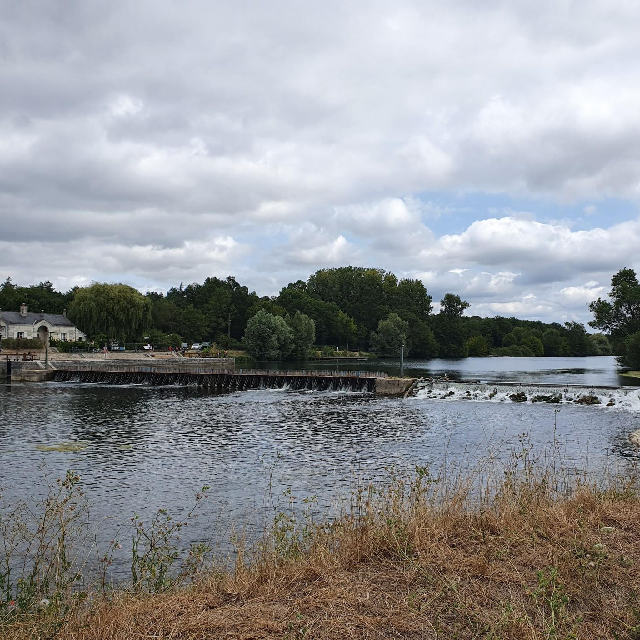
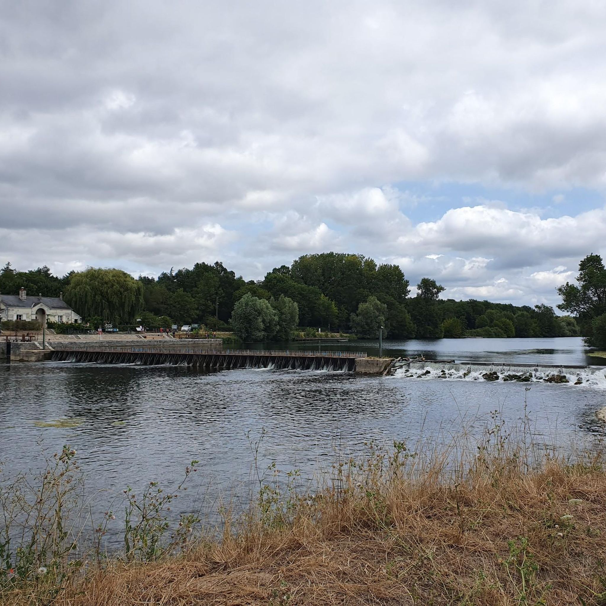
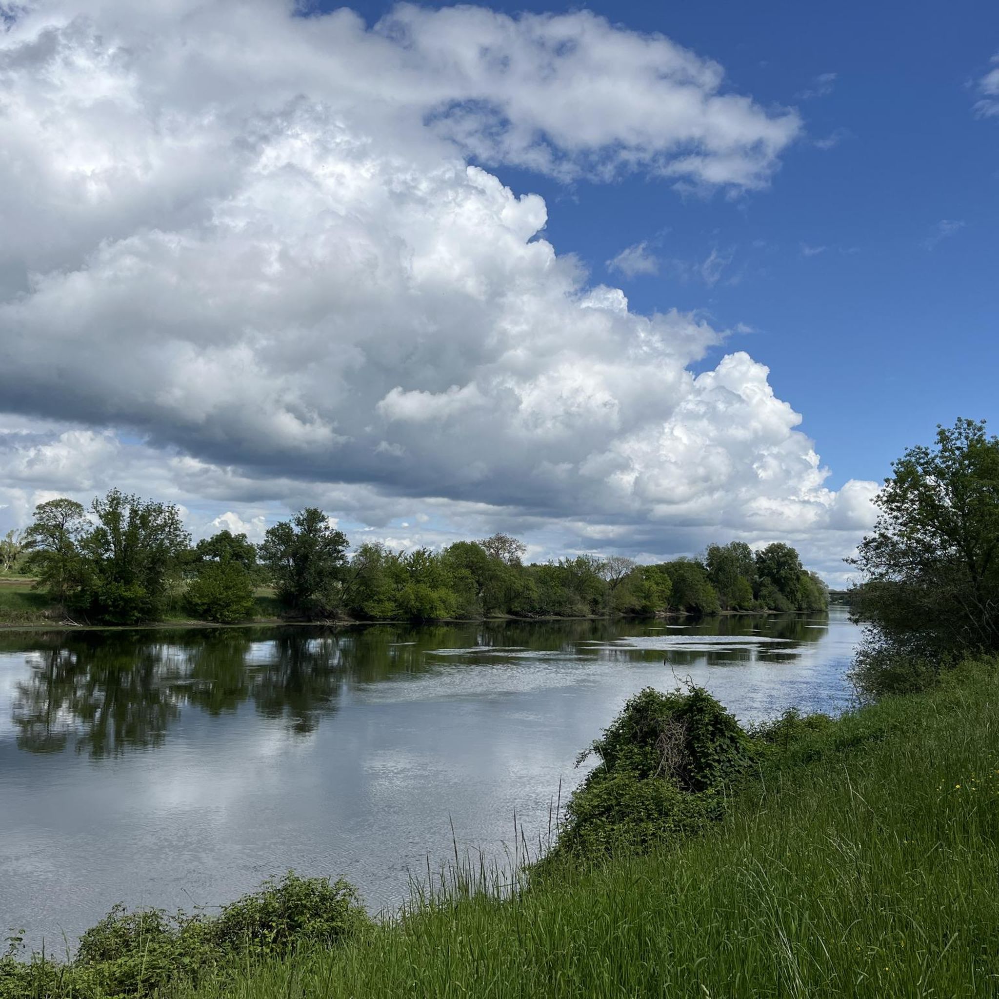
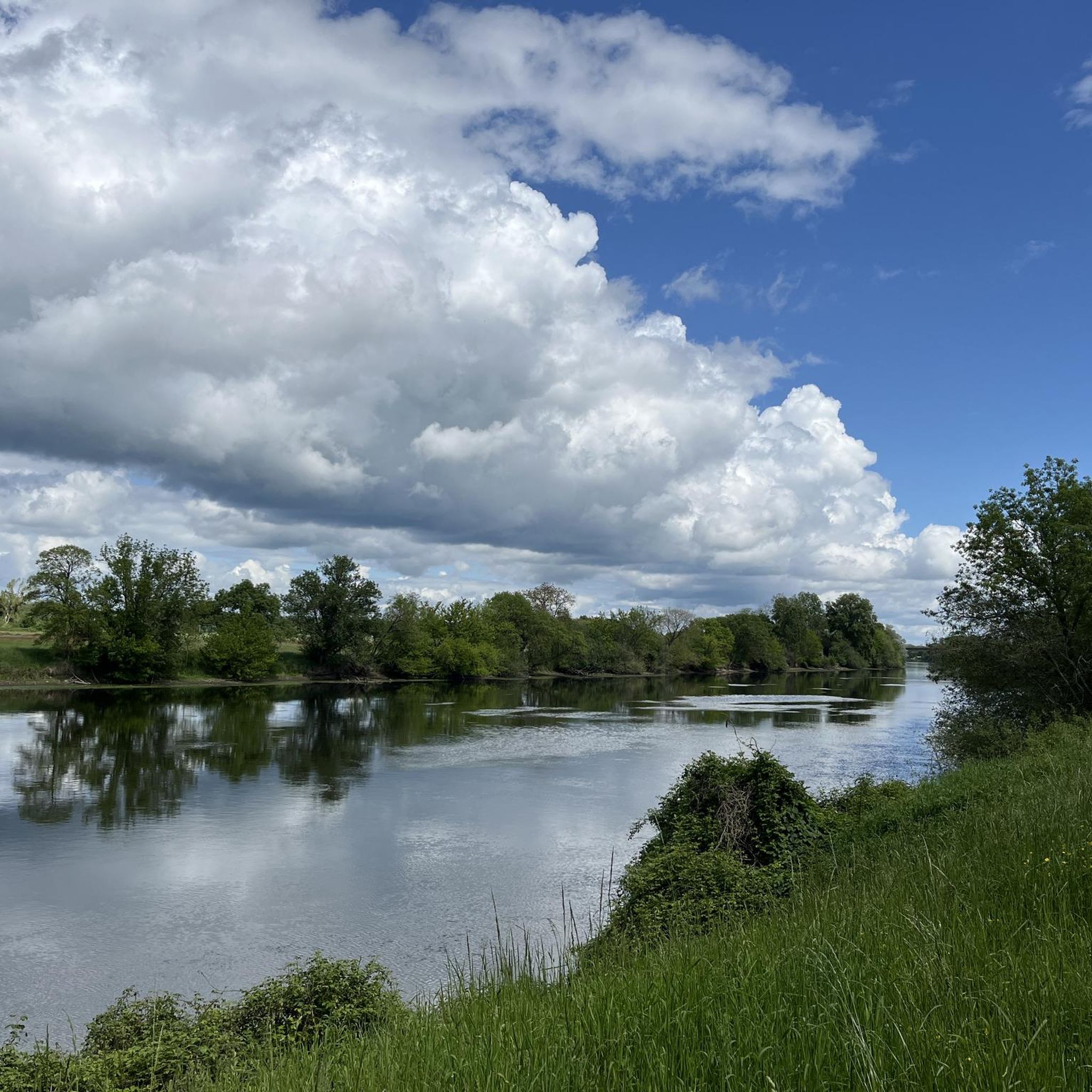
Jogging around Cigogné offers routes through predominantly agricultural landscapes, interspersed with clusters of trees and small woods. The terrain is largely a plateau with a uniform altitude between 90 and 100 meters, featuring only slight breaks in elevation. These natural features provide relatively flat and open running routes, with occasional variations from wooded sections and minor elevation changes.
Best jogging routes around Cigogné
- The most popular jogging route is Cormery Abbey – The Courçay Wall loop from Courçay, an…
Last updated: July 10, 2026
8
runners
11.9km
01:21
90m
90m
Moderate run. Good fitness required. Mostly paved surfaces. Suitable for all skill levels.
5
runners
4.44km
00:29
30m
30m
Easy run. Great for any fitness level. Mostly paved surfaces. Suitable for all skill levels.

Sign up for free
10
runners
10.6km
01:12
60m
70m
Moderate run. Good fitness required. Mostly paved surfaces. Suitable for all skill levels.
4
runners
5.00km
00:31
20m
20m
Easy run. Great for any fitness level. Mostly paved surfaces. Suitable for all skill levels.
4
runners
5.80km
00:38
50m
50m
Moderate run. Good fitness required. Mostly paved surfaces. Suitable for all skill levels.
Get access to more routes and recommendations from other explorers.
Sign up for free
Already have an account?
Our route recommendations are based on thousands of hikes, rides, and runs completed by other people on komoot.
Start today with a free account
Your next adventure awaits.
Login or Signup

Tips from the Community

A steep climb. But when you love and you have the calves or the electric assistance, go for it
0
0

Small steep alley, simulation of walls worthy of great races!
0
0

Frequently Asked Questions
How many running routes are available around Cigogné?
There are over 175 running routes available in and around Cigogné, catering to various preferences and fitness levels. The komoot community has explored these trails extensively, with more than 1300 runners using them.
What kind of terrain can I expect on running trails around Cigogné?
The terrain around Cigogné is characterized by extensive agricultural plains, interspersed with clusters of trees and small woods. It's largely a plateau with a fairly uniform altitude, offering relatively flat and open routes ideal for sustained running, with occasional natural variations from wooded sections and minor elevation changes.
Are there any easy running routes for beginners in Cigogné?
Yes, Cigogné offers several easy running routes suitable for beginners. For instance, the Running loop from Reignac-sur-Indre is an easy 2.7 miles (4.4 km) trail that takes about 30 minutes to complete, leading through agricultural plains and wooded remnants. Another easy option is The Courçay Wall loop from Courçay, which is 4.6 km long.
Can I find longer distance running trails in the area?
Absolutely. For those looking for longer distances, the Cormery Abbey – The Courçay Wall loop from Courçay is a moderate 8.8 miles (14.2 km) trail that takes about 1 hour 35 minutes, traversing agricultural plains and wooded sections. Another great option is The Courçay Wall loop from Reignac-sur-Indre, a moderate 7.4 miles (11.9 km) path.
Are there circular running routes available in Cigogné?
Yes, many of the running routes around Cigogné are circular, allowing you to start and finish at the same point. Examples include the Running loop from Reignac-sur-Indre and Running loop from Athée-sur-Cher, both offering convenient circular paths through the region's characteristic landscapes.
What are some points of interest or landmarks I might see while running near Cigogné?
While running near Cigogné, you can encounter various points of interest. You might pass by the Amboise Forest Crossing, enjoy the Lock and riverside scenery along the Cher, or discover a Viewpoint over the Cher. The region also features historical structures like the Nitray Dam and several castles, such as Nitray Castle.
Is Cigogné suitable for family-friendly running?
Cigogné's largely flat and open agricultural landscapes, combined with numerous easy and moderate routes, make it suitable for family-friendly running. The presence of local running events with children's races also indicates a welcoming environment for younger runners.
Are dogs allowed on the running trails in Cigogné?
Generally, dogs are welcome on many trails in rural areas like Cigogné, especially if kept on a leash. Given the agricultural nature of the region, it's always advisable to keep dogs under control to respect local wildlife and farmland. Specific route regulations may vary, so check local signage.
What is the best time of year to go running in Cigogné?
The pleasant environment of Cigogné, with its open agricultural landscapes and wooded areas, is enjoyable for running throughout much of the year. Spring and autumn offer mild temperatures and beautiful scenery. The local 'Cig'Run' event typically takes place annually, suggesting good conditions during that period.
Are there options for parking near the running trails?
Given Cigogné's rural setting and the starting points of many routes in nearby villages like Courçay and Reignac-sur-Indre, you can typically find parking options in or near these settlements. It's common for rural trailheads to have designated parking areas or roadside parking available.
What do other runners say about the trails in Cigogné?
The running routes in Cigogné are highly rated by the komoot community, with an average score of 4.5 stars from more than 10 reviews. Runners often praise the tranquil rural setting, the blend of open fields and small forested areas, and the gentle elevation changes that make for an engaging yet accessible running experience.
Are there any running events in Cigogné?
Yes, Cigogné hosts an annual running event called 'Cig'Run'. This event includes adult races of 6.55 km ('La Six'Run') and 13.23 km ('La Cig'Run'), as well as children's races, highlighting the local appreciation for running and the suitability of the area's routes for organized events.
What are the typical elevation changes on routes in Cigogné?
The terrain in Cigogné is largely a plateau with a fairly uniform altitude between 90 and 100 meters. This means routes feature only slight breaks in elevation, with typical elevation gains and losses often ranging from 15 to 90 meters, making most runs relatively flat with gentle undulations rather than steep climbs.
Most popular attractions around Cigogné

Get inspired with the komoot mobile app


Explore more
Browse the best Running Trails & Routes in other regions.
