The best running trails around Chuyer
4.4
(159)
4,010
runners
16
runs
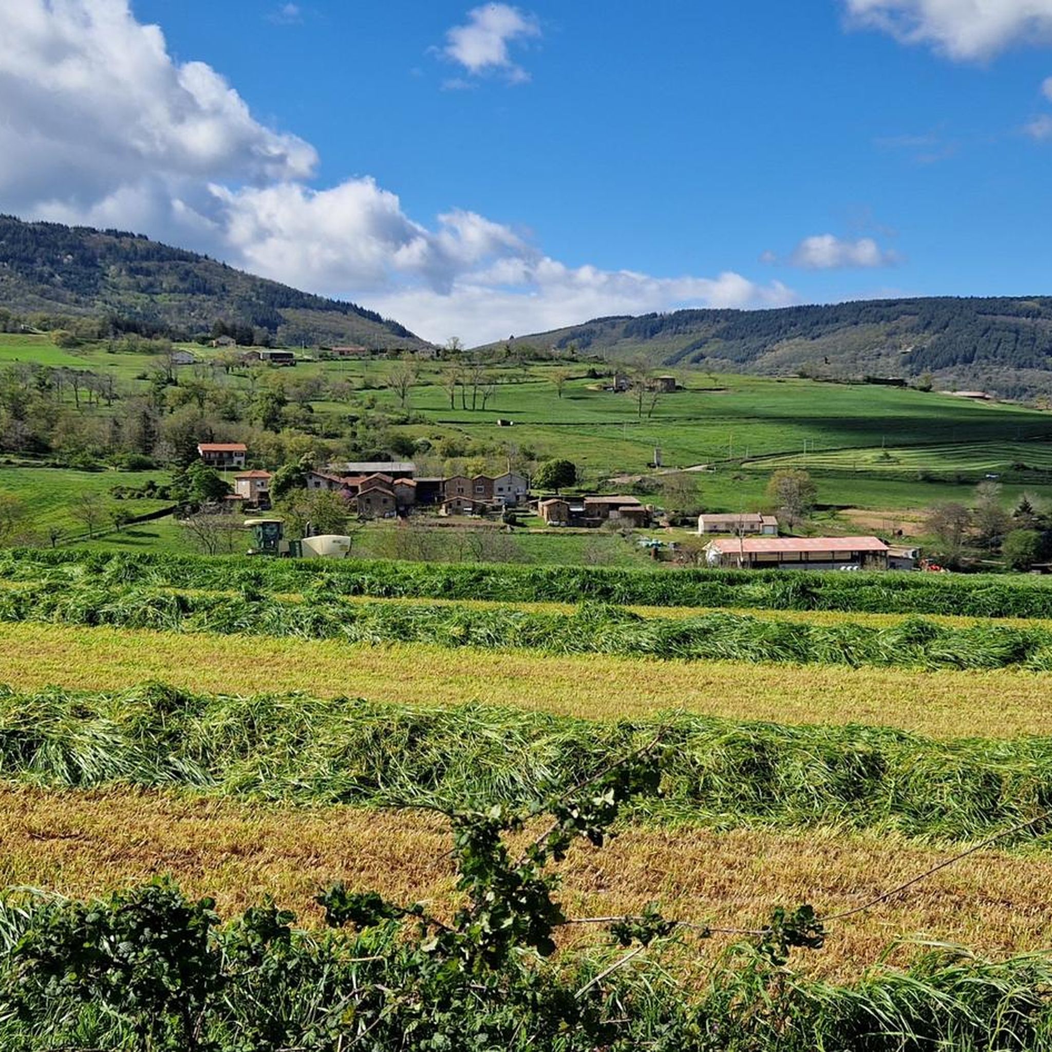
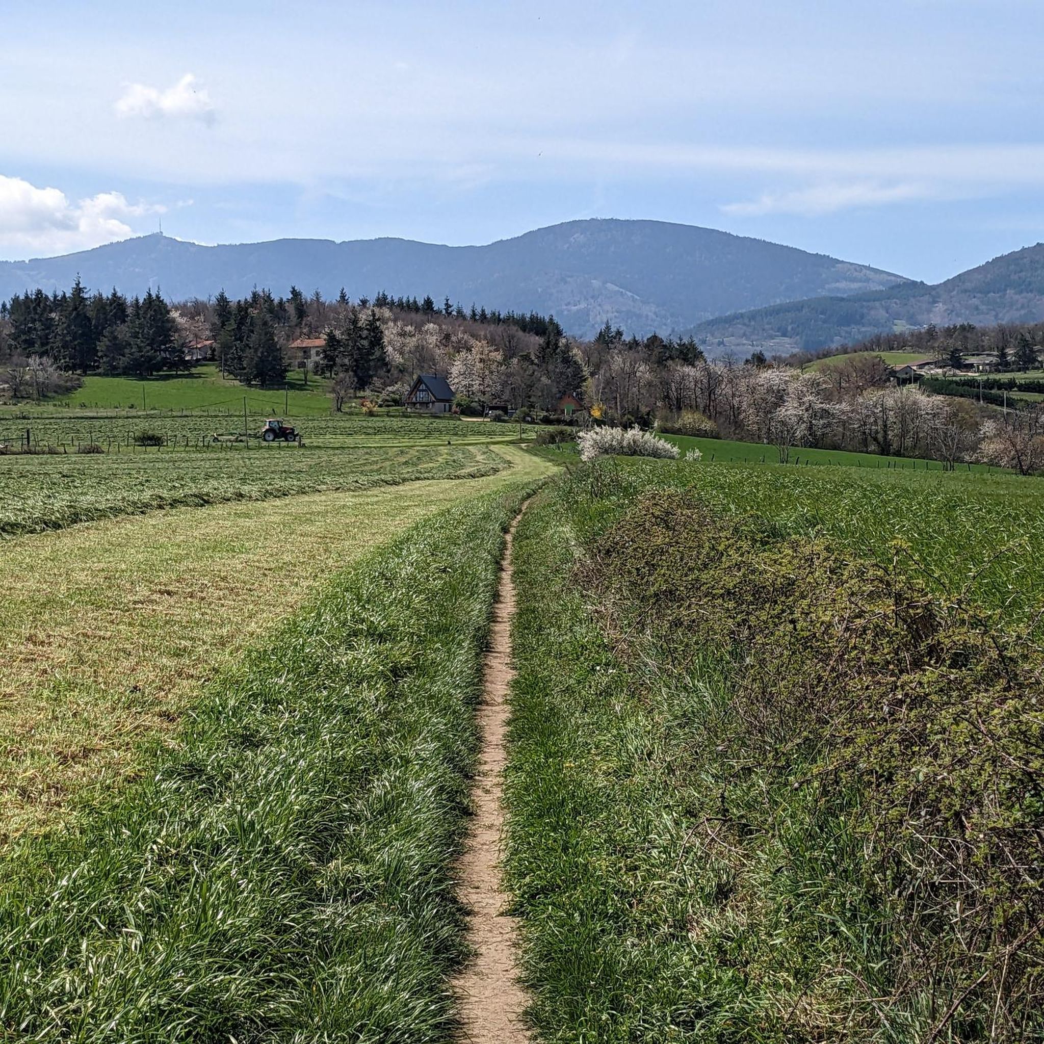
Jogging routes around Chuyer traverse the diverse landscapes of the Pilat Natural Regional Park, characterized by rolling hills and an extensive network of trails. The region offers varied terrain, from gentle paths suitable for casual runs to more challenging inclines within the Mont Pilat national park. This natural setting provides a rich tapestry of wilderness for runners.
Best jogging routes around Chuyer
- The most popular jogging route is Grenouze Pass – Mont Ministre loop from Chuyer, a 10.4 miles…
Last updated: July 1, 2026
12
runners
10.7km
01:16
280m
280m
Moderate run. Good fitness required. Mostly paved surfaces. Suitable for all skill levels.
10
runners
11.5km
01:28
360m
360m
Hard run. Very good fitness required. Mostly paved surfaces. Suitable for all skill levels.

Sign up for free
11
runners
27.4km
03:33
1,030m
1,030m
Hard run. Very good fitness required. Mostly paved surfaces. Suitable for all skill levels.
10
runners
6.63km
00:47
150m
150m
Moderate run. Good fitness required. Mostly paved surfaces. Suitable for all skill levels.
9
runners
24.9km
03:29
1,060m
1,060m
Hard run. Very good fitness required. Sure-footedness, sturdy shoes and alpine experience required.
Get access to more routes and recommendations from other explorers.
Sign up for free
Already have an account?
Our route recommendations are based on thousands of hikes, rides, and runs completed by other people on komoot.
Start today with a free account
Your next adventure awaits.
Login or Signup

Tips from the Community

Old hotel created in 1898, to treat people with tuberculosis.
0
0

A superb November morning, with a changing mist.
0
0

Smooth track allowing for easy climbing
0
0

Any self-respecting cyclist must, after reaching the Col de l'Oeillon, continue to the Crêt de l'Oeillon, the true summit and final objective of this climb!
0
0
Official pass referenced, possibility of continuing to the Col de l'Oeillon.
0
0

Don’t hesitate to go to the Chirat side to enjoy the orientation table and the view over the Rhone valley.
0
0
Good place for a coffee break and refilling cans.
0
0

The second most remarkable summit of the Pilat behind the Crêt de la Perdrix, this giant of gneiss and granite reveals, from its height of 1,364 meters, its trump card: a bird's-eye view of the Pic des Trois dents and the valley of the Rhône which extends at its feet. On a clear day, the gaze wanders to strange apparitions which imprint their reliefs on the horizon line: the Vercors mountains, the Ecrins and the Mont-Blanc range, for a natural spectacle that is both unreal and majestic.
2
0
Frequently Asked Questions
How many running routes are available around Chuyer?
There are over 18 dedicated jogging routes around Chuyer, offering a variety of distances and difficulty levels within the Pilat Natural Regional Park. These routes are highly rated by the komoot community, with an average score of 4.3 stars.
What kind of terrain can I expect on the jogging trails in Chuyer?
The jogging trails in Chuyer traverse diverse landscapes within the Mont Pilat national park. You can expect varied terrain, from gentle paths suitable for casual runs to more challenging inclines and scenic crests, catering to different fitness levels. The region is characterized by rolling hills and an extensive network of trails.
Are there any easy or beginner-friendly running routes in the Chuyer area?
While many routes are moderate to difficult, there is at least one easy route available. For a shorter, less strenuous option, consider the Pavezin Pass (651 m) – Col de Pavezin (651 m) loop from Pavezin, which is 2.9 miles (4.7 km) and leads through the lower hills.
Can I bring my dog on the running trails in Chuyer?
The Pilat Natural Regional Park, where Chuyer is located, is generally dog-friendly. However, it's always recommended to keep your dog on a leash, especially in protected areas or near wildlife, and to check for any specific local regulations on individual trails.
Are there family-friendly jogging options near Chuyer?
For families looking for a less challenging run, routes with gentler paths and shorter distances are available. The Pavezin Pass (651 m) – Col de Pavezin (651 m) loop from Pavezin is a good example of a shorter, easier route that could be suitable for families.
Where can I find parking for the jogging routes around Chuyer?
Parking is generally available at trailheads or near villages like Chuyer and Pavezin, which serve as starting points for many routes. Specific parking information can often be found on individual route pages on komoot or local signage.
Is it possible to reach the running trails in Chuyer by public transport?
While Chuyer is nestled in a natural park, public transport options might be limited directly to all trailheads. It's advisable to check local bus schedules for connections to Chuyer or nearby villages, and then plan your route from there. Access by car is generally the most convenient way to reach various starting points.
What are some scenic viewpoints or natural landmarks I can see while running in Chuyer?
Jogging in Chuyer offers numerous scenic opportunities. You can enjoy panoramic vistas from locations like the Centre emetteur TDF, which overlooks the valley. Notable natural landmarks include Crêt de l'Œillon and The Three Teeth, both offering elevated views. The Oeillon Crest and Perdrix Crest also provide expansive views of the surrounding natural beauty.
Are there any circular running routes in Chuyer?
Yes, many of the running routes around Chuyer are circular, offering convenient start and end points. Examples include the popular Grenouze Pass – Mont Ministre loop from Chuyer and the Pavezin Pass (651 m) – Col de Pavezin (651 m) loop from Pavezin.
What do other runners say about the trails in Chuyer?
The running routes in Chuyer are highly rated by the komoot community, with an average score of 4.3 stars from over 140 reviews. Runners often praise the diverse terrain, the rich tapestry of local wilderness, and the scenic crests that define the jogging experience in the Pilat Natural Regional Park.
When is the best time of year to go jogging in Chuyer?
Chuyer offers enjoyable jogging experiences throughout much of the year. Spring and autumn provide pleasant temperatures and beautiful foliage. Summer is also suitable, though it's best to run in the mornings or evenings to avoid the midday heat. Winter jogging is possible, but some higher elevation trails might be affected by snow or ice, so checking local conditions is advised.
Are there any cafes or places to eat near the jogging routes in Chuyer?
Chuyer and surrounding villages within the Pilat Natural Regional Park offer local amenities, including cafes and restaurants, where you can refuel after your run. It's a good idea to check opening hours, especially in smaller hamlets, or plan your route to pass through a village with known establishments.
What are some longer, more challenging running routes in the Chuyer area?
For experienced runners seeking a challenge, routes like the Col de l'Œillon (1233 m) – Crêt de l'Œillon loop from Pavezin offer significant elevation gain over 27.6 km (17.1 miles). Another difficult option is the Grenouze Pass – Mont Ministre loop from Chuyer, which is 16.7 km (10.4 miles) with substantial elevation.
Most popular attractions around Chuyer

Get inspired with the komoot mobile app


Explore more
Browse the best Running Trails & Routes in other regions.
