The best road cycling routes around Oze
4.4
(202)
3,700
riders
62
rides
Road cycling routes around Oze traverse a landscape characterized by significant elevation changes, including numerous mountain passes and valleys. The region features a mix of open roads, forested sections, and routes that pass through hamlets and along specific scenic roads. Road cyclists can expect varied terrain, from challenging ascents to more moderate rolling sections.
Best road cycling routes around Oze
- The most popular road cycling route is Col d'Espréaux depuis Veynes-Dévoluy - loop, a 40.6 miles (65.4 km) trail…
Last updated: August 18, 2026
4.8
(15)
278
riders
65.4km
03:29
1,220m
1,220m
Hard road ride. Very good fitness required. Mostly well-paved surfaces and easy to ride.
3.7
(11)
168
riders
54.0km
02:30
640m
640m
Moderate road ride. Good fitness required. Mostly well-paved surfaces and easy to ride.

Sign up for free
4.4
(14)
128
riders
51.8km
02:37
790m
790m
Moderate road ride. Good fitness required. Some segments of this route may be unpaved and difficult to ride.
5.0
(3)
117
riders
75.8km
04:17
1,650m
1,650m
Hard road ride. Very good fitness required. Mostly well-paved surfaces and easy to ride.
5.0
(1)
14
riders
40.2km
01:55
480m
480m
Moderate road ride. Good fitness required. Some segments of this route may be unpaved and difficult to ride.
Get access to more routes and recommendations from other explorers.
Sign up for free
Already have an account?
Our route recommendations are based on thousands of hikes, rides, and runs completed by other people on komoot.
Start today with a free account
Your next adventure awaits.
Login or Signup
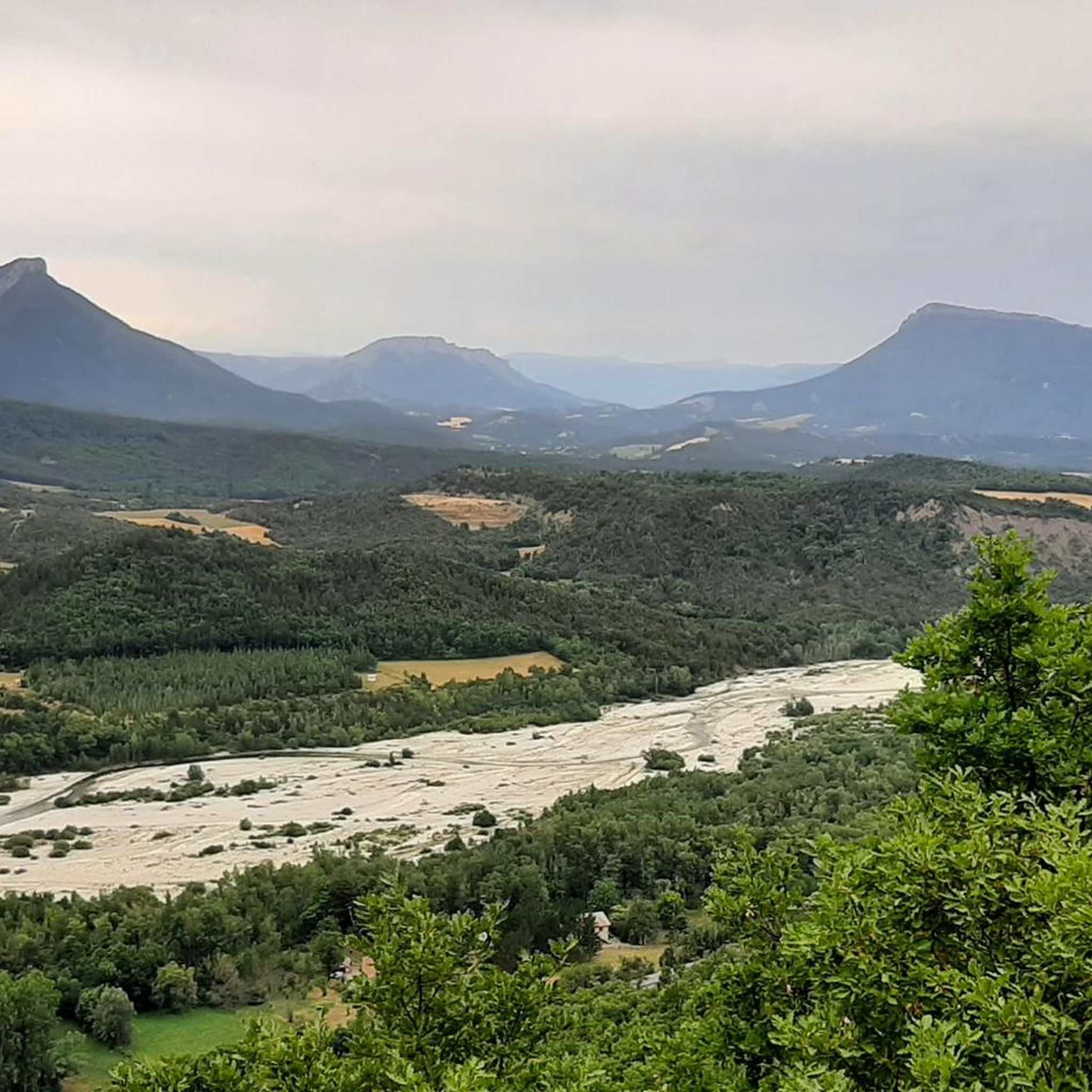
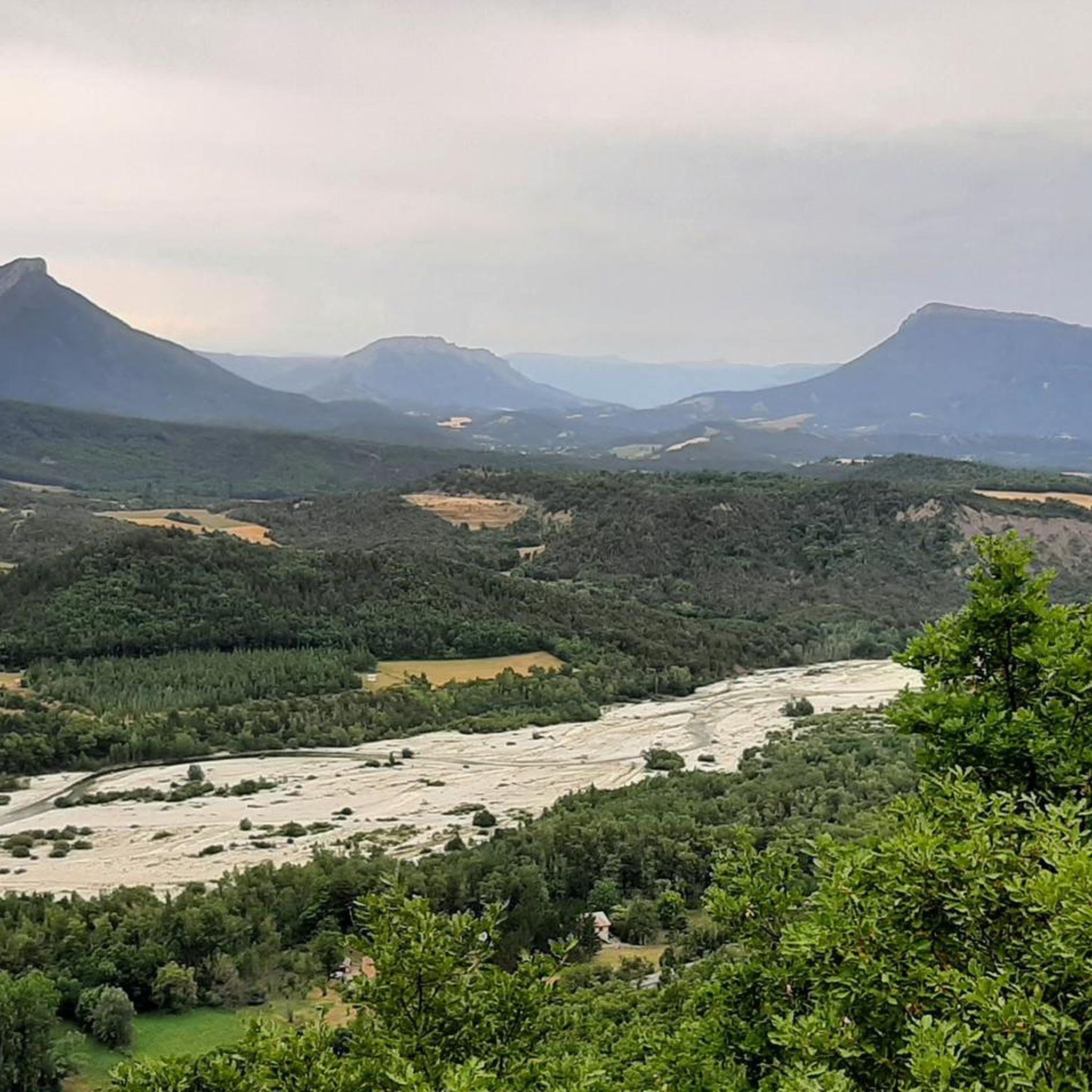
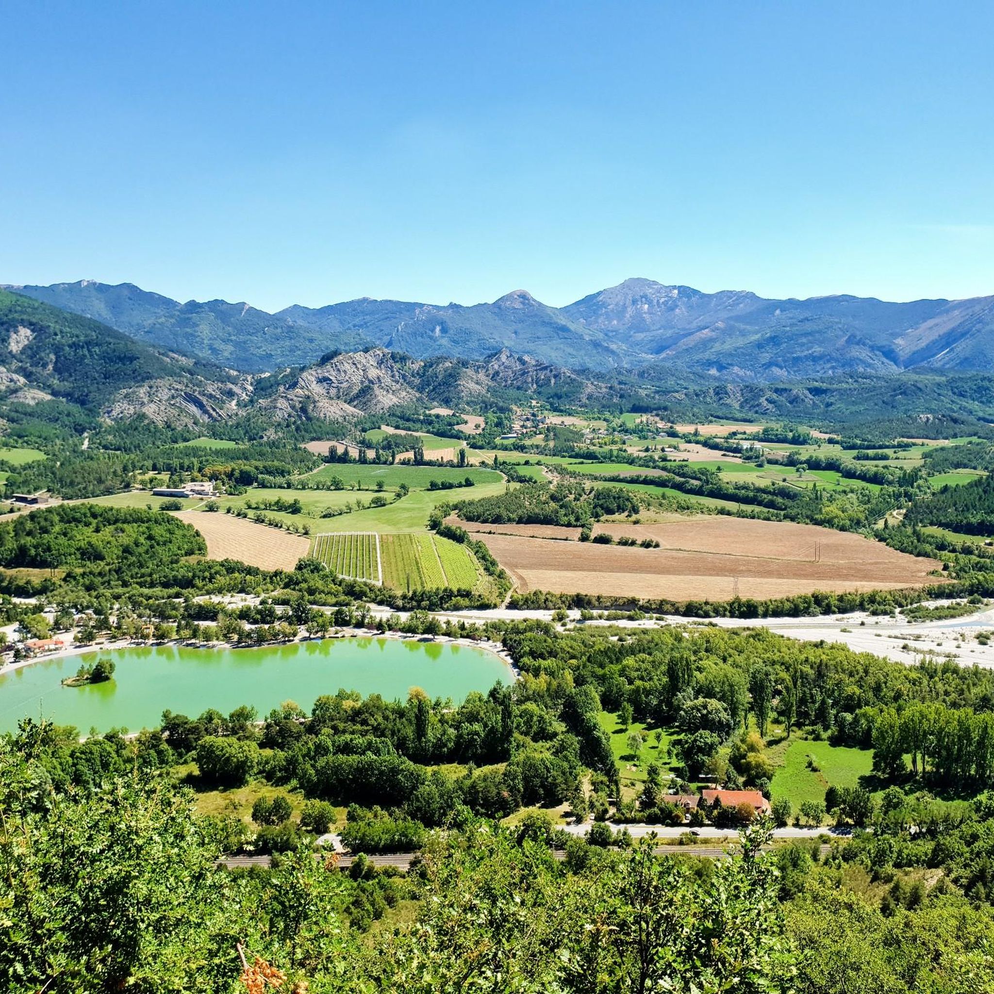
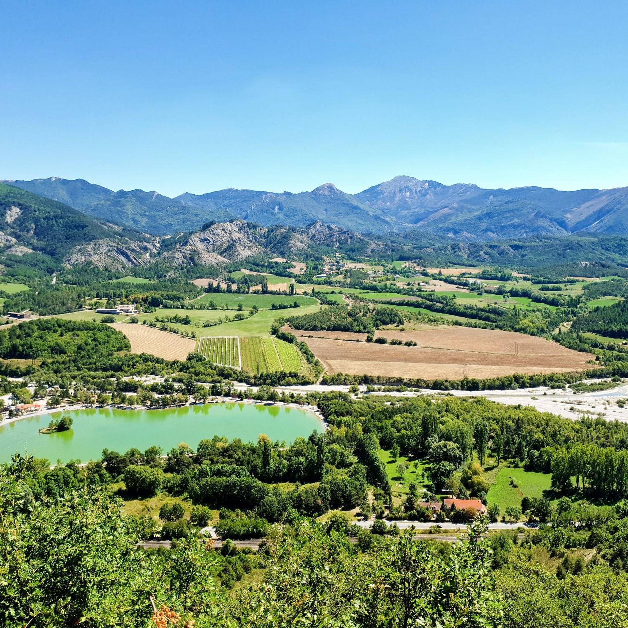

Tips from the Community

Stupendous climb with incredible views.
5
0
Yes, Veynes! It is a small town in the Hautes-Alpes (05), in the Provence-Alpes-Côte d’Azur region, at an altitude of about 814 m.
5
0
Cross the spectacular cluse of Sigottier, a narrow gorge carved by the Aiguebelle stream between imposing limestone walls.
14
0
The Sigottier road (RD 27) is one of the most beautiful scenic roads in the Sigottier area, in the Hautes-Alpes.
16
0
The D 48 is an important departmental road in the Val-d'Oise that crosses Argenteuil, Cormeilles-en-Parisis, Montigny-lès-Cormeilles, and Herblay. It runs parallel to the A15 motorway at a certain distance.
13
0
The Haut-Buëch circuit is a 77 km loop around Veynes, which crosses several mountain passes. Classified as difficult, it mainly takes place on shared roads (100%), has an elevation gain of 827 meters, and is recommended for experienced cyclists. The estimated travel time is about 6 hours and 29 minutes. Points of interest along the route include the Veynes railway workers' ecomuseum and the castle of Aspremont.
7
0
The Col de Verniers via Châteauneuf d'Oze is a climb located in the Hautes-Alpes region. This climb is 2.4 km long, with a total elevation gain of 124 m. The Col de Verniers via Châteauneuf d'Oze has an average gradient of 5.1%.
22
0
The Col d'Espreaux is a climb located in the Hautes-Alpes region. This climb is 12.2 km long, with a total elevation gain of 585 m. The Col d'Espreaux has an average gradient of 4.8%.
18
0
Frequently Asked Questions
What kind of terrain can I expect on road cycling routes in Oze?
Road cycling in Oze is characterized by significant elevation changes, including numerous mountain passes and valleys. You'll encounter a mix of open roads, forested sections, and routes that pass through hamlets and along scenic roads, offering both challenging ascents and moderate rolling sections.
How many road cycling routes are available in the Oze region?
There are over 60 road cycling routes available in the Oze region, catering to various skill levels. This includes 7 easy routes, 32 moderate routes, and 22 difficult routes.
Are there any beginner-friendly road cycling routes in Oze?
Yes, Oze offers several options suitable for beginners. There are 7 easy routes, such as the Serres – Route de Sigottier loop from Veynes-Dévoluy, which is a moderate 33.6-mile path with rolling hills and scenic countryside roads, making it a good introduction to the region's cycling.
What are some challenging road cycling routes for experienced riders in Oze?
For experienced riders seeking a challenge, Oze offers 22 difficult routes. A notable option is the Col d'Espréaux depuis Veynes-Dévoluy - loop, a 40.6-mile trail featuring a significant climb over a mountain pass. Another demanding route is the Col du Festre – Sautet dam loop from Veynes-Dévoluy, which spans over 69 miles with substantial elevation gain.
What is the typical length of road cycling routes in Oze?
The routes in Oze vary significantly in length. For example, the Serres – Route de Sigottier loop from Veynes-Dévoluy is about 33.6 miles, while the Eiffel Bridge – Into the tunnel loop from Veynes-Dévoluy extends to 47.5 miles. The longest routes, like the Col du Festre – Sautet dam loop from Veynes-Dévoluy, can exceed 69 miles.
Are there any circular road cycling routes in Oze?
Yes, many of the road cycling routes in Oze are designed as loops. Examples include the popular Col d'Espréaux depuis Veynes-Dévoluy - loop and the Col de la Haute Beaume – Hameau de Saint-Marcellin loop from Veynes-Dévoluy, offering convenient starting and ending points.
What interesting landmarks or attractions can I see along road cycling routes in Oze?
Along the road cycling routes in Oze, you can encounter various points of interest. Notable mountain passes include Espréaux Pass and Col de Carabès. You might also pass by historical sites like Clausonne Abbey, or scenic spots like The Shores of the Lake.
What do other road cyclists enjoy most about road cycling in Oze?
The Oze region is highly rated by the komoot community, with an average score of 4.5 stars from over 150 reviews. Reviewers often praise the varied terrain, from challenging mountain passes to scenic countryside roads, and the well-curated routes that showcase the region's natural beauty and unique features like the Eiffel Bridge and tunnels.
Are there routes that feature specific road characteristics like bridges or tunnels?
Yes, some routes in Oze are known for their distinctive features. For example, the Eiffel Bridge – Into the tunnel loop from Veynes-Dévoluy specifically highlights an area with an Eiffel Bridge and a tunnel, offering a unique cycling experience.
What is the best time of year for road cycling in Oze?
Given the region's mountainous characteristics with significant elevation changes and passes, the best time for road cycling in Oze is typically from late spring through early autumn. During these months, the weather is generally more stable, and mountain passes are clear of snow, offering optimal conditions for tackling the varied terrain.
Where are common starting points for road cycling routes in Oze?
Many of the road cycling routes in the Oze region, particularly those listed as popular, frequently start from Veynes-Dévoluy. This area serves as a convenient hub for accessing various loops and challenging climbs.
Most popular attractions around Oze

Get inspired with the komoot mobile app


Explore more
Browse the best Road cycling routes in other regions.
