The best road cycling routes around Geraise
4.5
(26)
602
riders
68
rides
Road cycling routes around Geraise traverse a landscape characterized by rolling hills, river valleys, and historical sites. The region offers varied terrain, from gentle ascents along waterways to more challenging climbs through elevated areas. Road cyclists can expect routes that navigate through open countryside and past points of interest, providing a diverse experience.
Best road cycling routes around Geraise
- The most popular road cycling route is Mont Poupet – Salins-les-Bains loop from Salins-les-Bains, a 13.1 miles (21.1 km) trail…
Last updated: July 6, 2026
4.7
(3)
14
riders
40.5km
02:06
710m
710m
Moderate road ride. Good fitness required. Mostly well-paved surfaces and easy to ride.
4.0
(1)
9
riders
39.2km
01:50
500m
500m
Moderate road ride. Good fitness required. Mostly well-paved surfaces and easy to ride.

Sign up for free
5.0
(2)
4
riders
73.5km
03:44
1,220m
1,220m
Hard road ride. Very good fitness required. Mostly well-paved surfaces and easy to ride.
7
riders
17.7km
01:02
400m
400m
Moderate road ride. Good fitness required. Mostly well-paved surfaces and easy to ride.
5.0
(1)
9
riders
Moderate road ride. Good fitness required. Mostly well-paved surfaces and easy to ride.
Get access to more routes and recommendations from other explorers.
Sign up for free
Already have an account?
Our route recommendations are based on thousands of hikes, rides, and runs completed by other people on komoot.
Start today with a free account
Your next adventure awaits.
Login or Signup
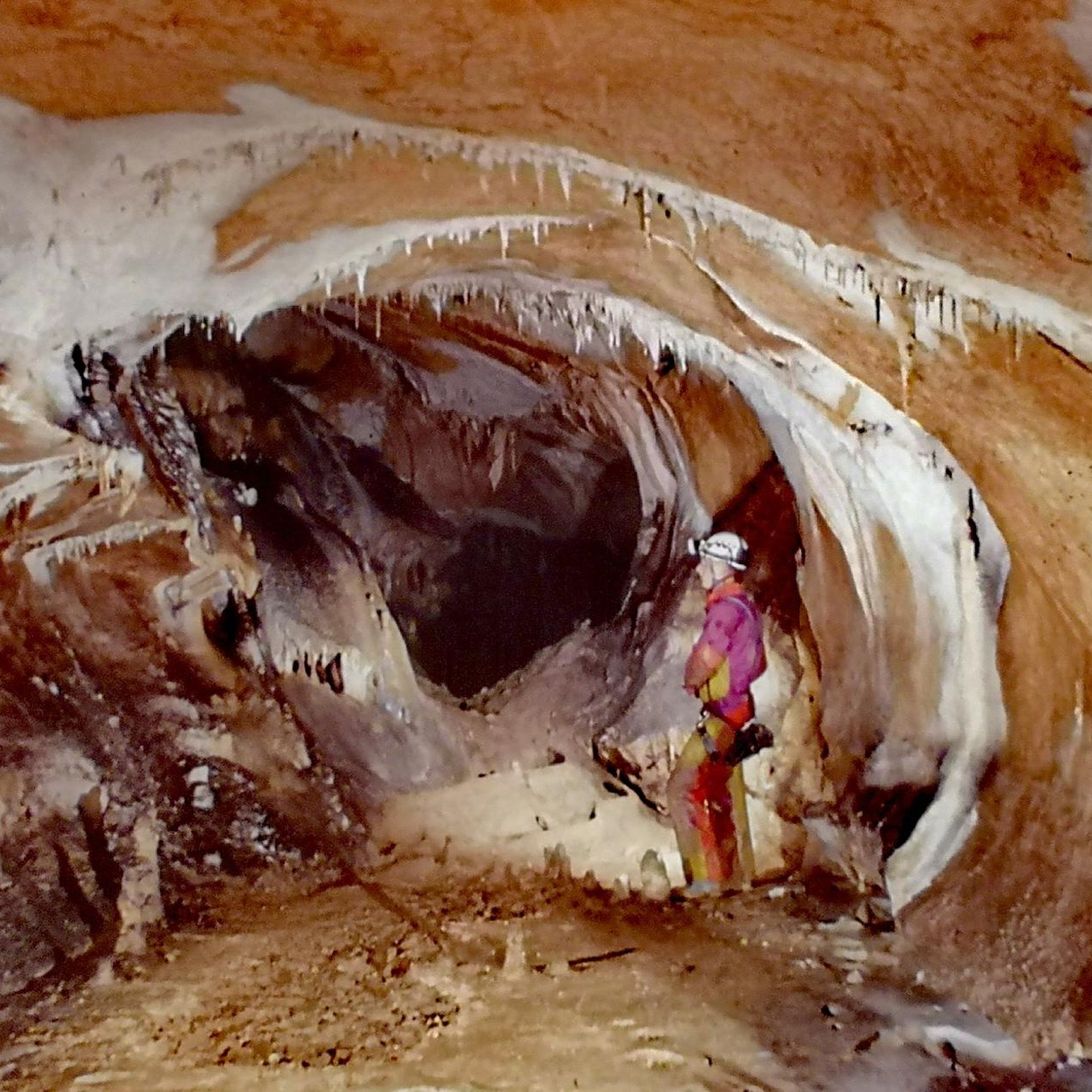

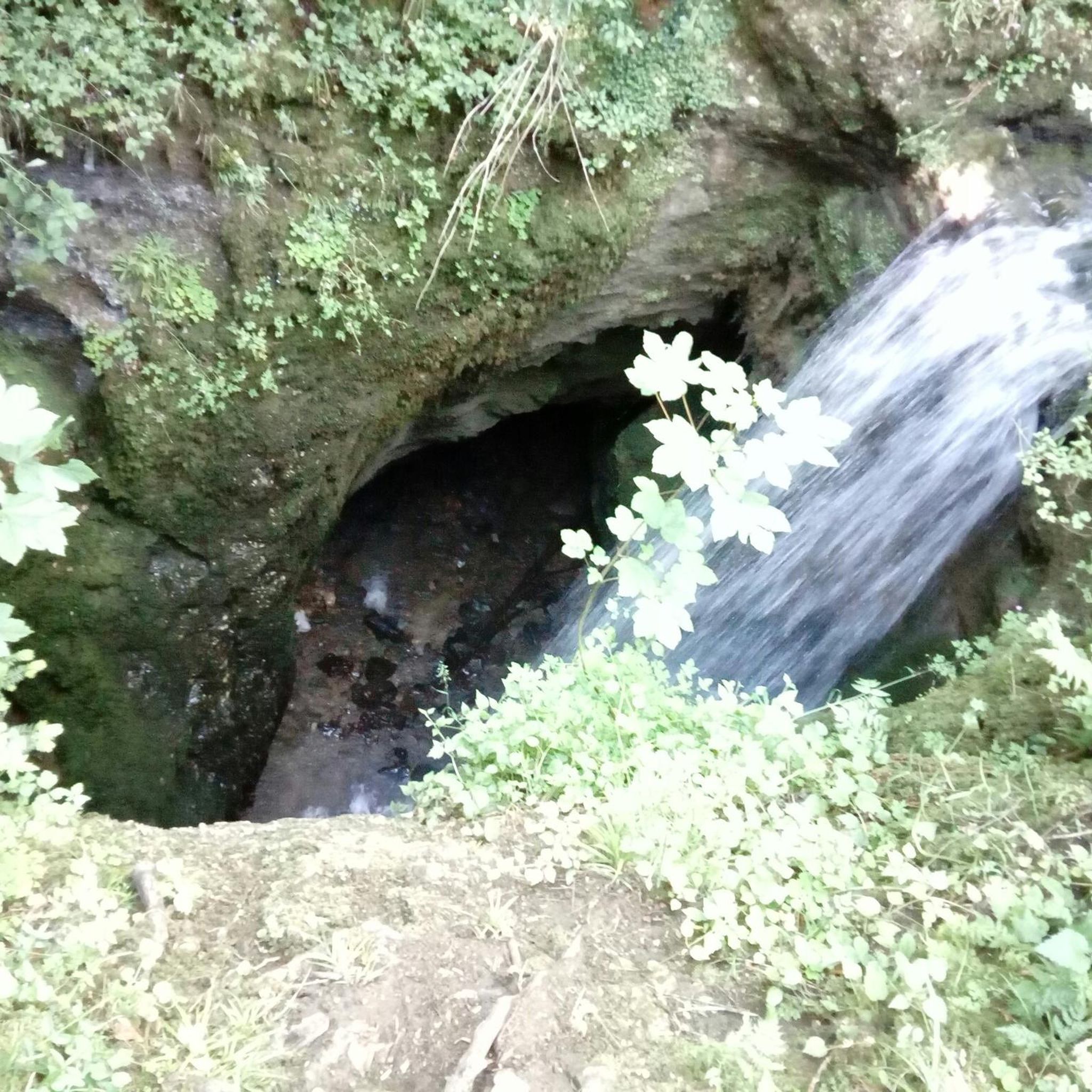
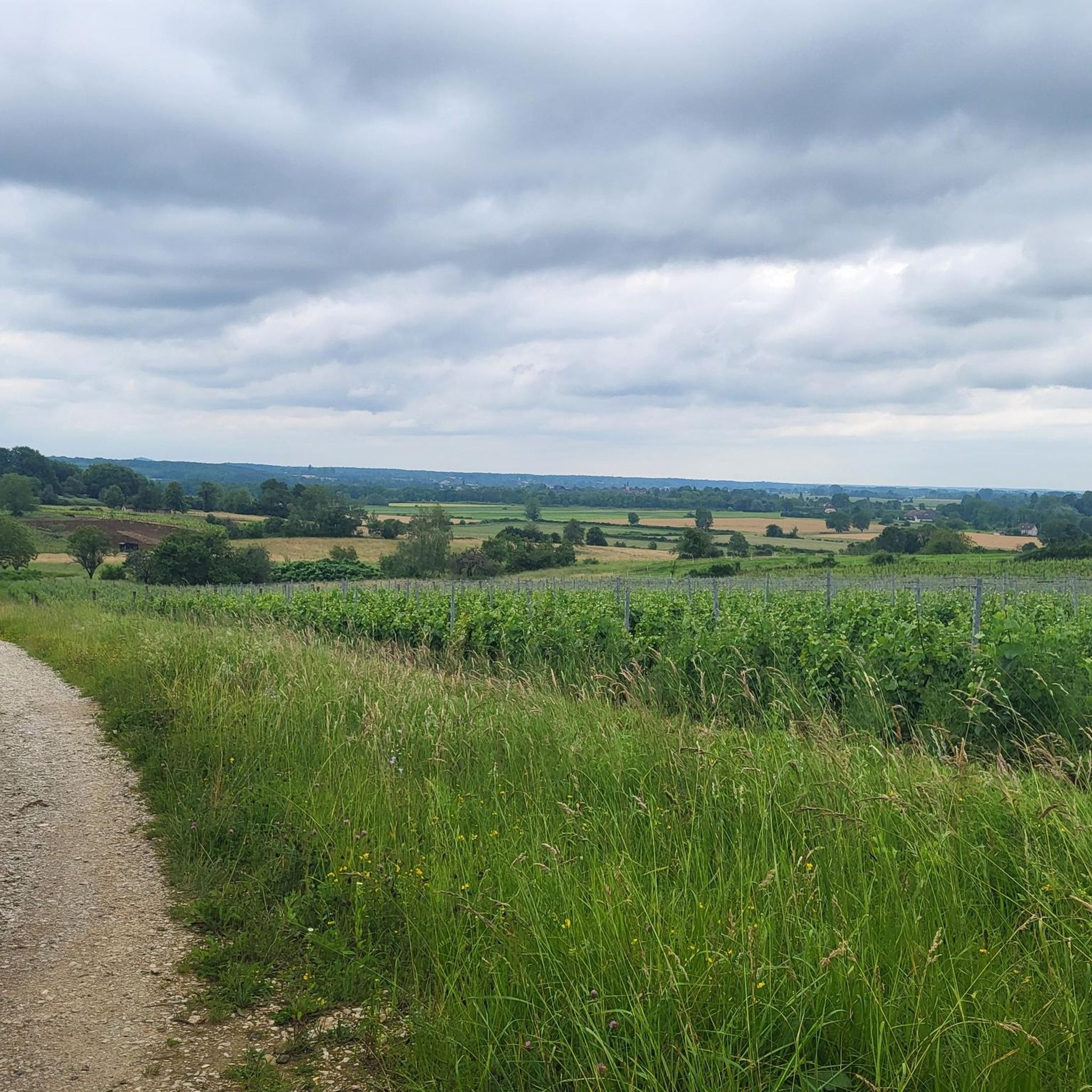
Tips from the Community

The Syratu waterfall in Mouthier-Haute-Pierre
0
0

Not suitable for children. Very dangerous, but beautiful. Recommended for adults who are not afraid of heights.
0
0

The village of Nans-sous-Sainte-Anne is remarkable for the scale of its landscapes, the rhythm of the mountains and depressions. It knows how to combine in a restricted space the charm of the foliage and the fir trees with the austerity of the rock walls, the impetuosity of the waterfalls with the intimacy of the undergrowth, the mystery of the caves with the picturesqueness of the belvederes.
1
0

The Cascade de Syratu is an impressive waterfall that cascades over the rocky cliffs of the Baume above Mouthier-Haute-Pierre in the Doubs department. With a total height difference of 230 metres, it is the largest waterfall in the department. The waterfall consists of several levels: The upper part begins with an almost vertical drop of 50 metres from the edge of the plateau at a height of 600 metres. This is followed by a second vertical drop of 32 metres, which brings the water to the level of the road. The lower part of the waterfall extends over a wooded slope and ends at the Loue river, where there are several waterfalls covered with tufa. To get a general view of the waterfall, you should climb up the left bank after crossing the old bridge over the Loue. The middle part of the waterfall is visible from the road that goes up to the gorges. The lower part, with its wild tuff massifs, can be reached on foot via paths that start on either side of the small bridge over the Syratu stream.
8
0

This section of road which ventures into the Nouailles gorges, gradually transforms as it descends into a gigantic canyon overlooking the Loue valley. The cliffs are impressive in places. It is a marvel to explore which gives a little air of adventure and a lot of pleasure.
1
0

Ranked among the most beautiful villages in France, Lods is worth the detour with its pretty old houses and the Loue which crosses it, punctuated by dams. The village has a little more than 200 inhabitants today but the 1850 census counted 1,430, due to two important activities at the time: the forge and the vineyard. Both have left their mark: you can see the ironmasters' house near La Loue and visit the vine museum.
1
0
From the road you can admire the middle part of the Syratu waterfall, which is 32 meters high. It was channeled to pass under the road. With the upper and lower parts, the waterfall has a total height of 230 meters, from the edge of the rock plateau above you to the Loue. The waterfall marks the entry into the Gorges de Nouailles where the Loue flows.
1
0
Crossed by the Lison and its tributaries Nans-sous-Sainte-Anne is a pleasant village in which to take a break. From the 13th century, it was one of the first stops on the 'salt route' for convoys transporting salt from Salins Les Salines to Switzerland via the Jura passes. The bridge over the Lison was also the perfect place to collect the gabelle, the famous tax on salt in the Middle Ages.
1
1
Frequently Asked Questions
How many road cycling routes are available around Geraise?
There are nearly 70 road cycling routes around Geraise, offering a diverse range of experiences for all skill levels. You'll find options from easy rides to challenging climbs through the region's varied terrain.
Are there easy road cycling routes suitable for beginners in Geraise?
Yes, Geraise offers several easy road cycling routes perfect for beginners or those seeking a relaxed ride. For example, the Royal Saltworks of Arc‑et‑Senans – Salins-les-bains loop from Salins-les-Bains is an easy 39.4 km (24.5 miles) route with gentle elevation changes, allowing you to enjoy the scenery without significant effort.
What kind of terrain can I expect on road cycling routes in Geraise?
Road cycling routes in Geraise feature a diverse landscape characterized by rolling hills, picturesque river valleys, and open countryside. You'll encounter everything from gentle ascents along waterways to more challenging climbs through elevated areas, often passing historical sites and points of interest.
Are there challenging road cycling routes for experienced cyclists?
Absolutely. Geraise provides numerous difficult routes for experienced road cyclists looking for a challenge. The Salins-les-Bains – Lison Spring loop from Salins-les-Bains is a difficult 53 km (32.9 miles) path with substantial climbing, and the Cléron – Loue River loop from Salins-les-Bains is an even longer, difficult route spanning over 100 km (62 miles) with significant elevation gain.
What can I see along the road cycling routes in Geraise?
Many routes in Geraise pass by significant natural and historical landmarks. You can cycle past the impressive Lison Spring, explore the area around the historic Royal Saltworks of Arc-et-Senans, or enjoy views from the Croix de Poupet. The region is rich in points of interest, including various caves and natural monuments.
Are there any road cycling routes that are loops?
Yes, many of the road cycling routes around Geraise are designed as loops, allowing you to start and finish at the same point. Examples include the Mont Poupet – Salins-les-Bains loop from Salins-les-Bains and the Royal Saltworks of Arc‑et‑Senans – Salins-les-bains loop from Le Calypso.
What do other road cyclists say about the routes in Geraise?
The road cycling routes in Geraise are highly rated by the komoot community, with an average score of 4.4 stars from over 20 reviews. Cyclists often praise the varied terrain, the scenic beauty of the river valleys and rolling hills, and the opportunity to pass by historical landmarks.
What is the best time of year for road cycling in Geraise?
The region's climate generally makes spring through autumn ideal for road cycling, offering pleasant temperatures and vibrant landscapes. While specific winter conditions vary, the rolling hills and river valleys can be enjoyed outside of the coldest months, though some higher elevation routes might be more exposed.
Are there routes that pass by waterfalls or natural springs?
Yes, the region around Geraise is known for its natural water features. The Salins-les-Bains – Lison Spring loop from Salins-les-Bains, for instance, takes you past the notable Lison Spring. You might also encounter the Creux Billard — Karst Basin and Waterfall on some routes or nearby explorations.
Are there any routes that are particularly scenic or offer great viewpoints?
Many routes offer scenic views as they traverse rolling hills and river valleys. For panoramic vistas, consider routes that ascend to higher points, such as those near Croix de Poupet, which is a well-known viewpoint in the area.
How long do road cycling routes in Geraise typically take?
Route durations vary significantly based on distance and elevation. Shorter, moderate routes like the Mont Poupet – Salins-les-Bains loop from Salins-les-Bains can take around 1 hour 24 minutes, while longer, difficult routes such as the Cléron – Loue River loop from Salins-les-Bains can extend to over 5 hours.
Most popular attractions around Geraise

Get inspired with the komoot mobile app


Explore more
Browse the best Road cycling routes in other regions.
