The best walks and hikes around Coublanc
4.4
(85)
458
hikers
126
hikes
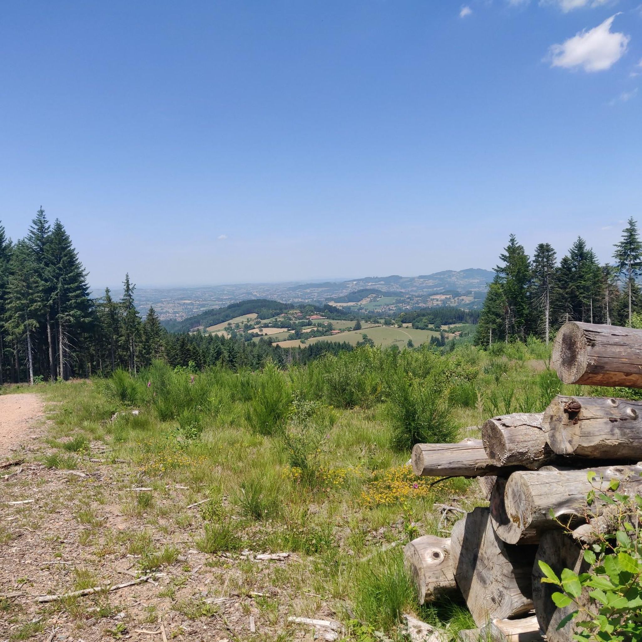
Hiking around Coublanc offers a network of trails through varied terrain, characterized by rolling hills and paths connecting local landmarks. The region features a mix of open landscapes and areas with elevation changes, providing diverse hiking experiences. Routes often pass through or near small villages and historical points of interest, such as chapels. The area's topography supports both shorter, easier walks and more moderate, longer excursions.
Best hiking trails around Coublanc
- The most popular hiking route is March – March/Loire…
Last updated: July 3, 2026
4.8
(4)
12
hikers
13.4km
03:55
380m
370m
Moderate hike. Good fitness required. Easily-accessible paths. Suitable for all skill levels.
2
hikers
5.19km
01:30
140m
140m
Easy hike. Great for any fitness level. Easily-accessible paths. Suitable for all skill levels.

Sign up for free
3.0
(1)
5
hikers
12.7km
03:40
320m
320m
Moderate hike. Good fitness required. Easily-accessible paths. Suitable for all skill levels.
7
hikers
16.1km
04:48
510m
510m
Moderate hike. Good fitness required. Easily-accessible paths. Suitable for all skill levels.
5.0
(1)
8
hikers
10.0km
02:55
260m
260m
Moderate hike. Good fitness required. Easily-accessible paths. Suitable for all skill levels.
Get access to more routes and recommendations from other explorers.
Sign up for free
Already have an account?
Our route recommendations are based on thousands of hikes, rides, and runs completed by other people on komoot.
Start today with a free account
Your next adventure awaits.
Login or Signup
Tips from the Community

Overnight accommodation at the Soers mariales to the right of the church. Wonderful stage stop on my Camino https://huettemann.eu/de/2023/10/von-cluny-an-die-loire-berndscamino/
1
0
Wonderful stage stop on my Camino https://huettemann.eu/de/2023/10/von-cluny-an-die-loire-berndscamino/
0
0


Difficult climb to La Chapelle du Calvaire, rest area with tables and benches once at the top
0
0

Weird, but also funny. Anyway, a good place to take a break.
5
0

Carpe Diem! Seating, let alone rest areas, are few and far between and are usually only found in and around the villages along the way, but then more often.
7
0
It is really impressive how in almost every small town the fallen of the war are commemorated and how lovingly these memorials are cared for.
7
0
Frequently Asked Questions
How many hiking trails are available around Coublanc?
There are over 110 hiking trails around Coublanc, offering a wide range of options for different skill levels. The region's varied terrain, characterized by rolling hills and paths connecting local landmarks, provides diverse hiking experiences.
Are there easy hiking trails suitable for beginners or families in Coublanc?
Yes, Coublanc offers over 25 easy hiking trails. A good option for a relaxed walk is the Picnic – Le Calvaire Chapel loop from Arcinges, which is 3.3 miles (5.3 km) long and offers pleasant views around Le Calvaire Chapel.
What kind of terrain can I expect on hikes around Coublanc?
Hiking around Coublanc is defined by rolling hills, paths connecting villages, and historical landmarks. You'll find a mix of open landscapes and areas with elevation changes, providing varied experiences from gentle strolls to more challenging ascents.
Are there any challenging hikes for experienced trekkers near Coublanc?
While most routes are moderate, there are 9 more difficult trails for those seeking a challenge. These routes often feature significant elevation gains and longer distances, traversing the region's more demanding topography.
What are some notable landmarks or attractions I can see while hiking in Coublanc?
Many routes pass through or near small villages and historical points of interest. You can explore highlights such as Mount Dun, the Blue Cross and Picnic Area, or the historic medieval town of Charlieu. The Chapel of Fatima and Col du Pavillon are also popular points of interest.
Are there circular walking routes available in Coublanc?
Yes, many of the trails around Coublanc are designed as circular routes, allowing you to start and end at the same point. An example is the Eau potable – Église Saint-Paul Le Cerne loop from Arcinges, which covers 10 miles (16.1 km).
What do other hikers enjoy most about hiking in Coublanc?
The hiking routes in Coublanc are highly rated by the komoot community, with an average score of 4.4 stars from over 60 reviews. Hikers often praise the varied terrain, the charming villages, and the historical points of interest encountered along the paths.
What is the typical duration for hikes in the Coublanc area?
Hike durations vary significantly. Easy walks can take around 1.5 to 2 hours, while moderate routes like the March/Loire loop from Mars typically take about 3 hours. Longer, more challenging trails can extend to 4 hours or more.
Is public transport available to access hiking trails around Coublanc?
Public transport options directly to trailheads in rural areas like Coublanc can be limited. It's advisable to check local bus schedules for connections to the main villages, but many routes may require private vehicle access or a short taxi ride from the nearest public transport hub.
Are there good parking facilities near the hiking trails in Coublanc?
Parking is generally available in or near the villages where many trails begin, such as Arcinges or Mars. Look for designated parking areas in village centers or near churches, which often serve as convenient starting points for hikes.
Can I find cafes or places to eat near the hiking trails?
Many routes pass through or near small villages. While not every trailhead will have a cafe directly adjacent, you can often find local establishments in the villages themselves, offering refreshments or a meal after your hike. It's a good idea to check village amenities beforehand.
Are there any specific trails that offer great viewpoints?
The region's rolling hills naturally provide many scenic vistas. Trails that include higher elevations or pass near landmarks like Le Calvaire Chapel, as seen on the Église Saint-Paul Le Cerne – Le Calvaire Chapel loop from Arcinges, often feature excellent viewpoints over the surrounding countryside.
Most popular attractions around Coublanc

Get inspired with the komoot mobile app


Explore more
Browse the best Hikes in other regions.
