The best walks and hikes around La Haye-Malherbe
4.6
(363)
1,719
hikers
111
hikes
Hiking around La Haye-Malherbe offers diverse natural landscapes in the Eure department of Normandy, characterized by extensive woodlands such as the Forêt de Bord-Louviers. The region features picturesque river valleys formed by the Eure and Oison rivers, providing a backdrop of lush countryside. Hikers can explore rolling terrain, charming villages, and paths that traverse both forests and open fields. This varied landscape provides a range of experiences for outdoor enthusiasts.
Best hiking trails around La Haye-Malherbe
- The most popular hiking…
Last updated: July 8, 2026
5.0
(2)
6
hikers
10.5km
02:50
140m
140m
Moderate hike. Good fitness required. Easily-accessible paths. Suitable for all skill levels.
4.6
(9)
51
hikers
Easy hike. Great for any fitness level. Easily-accessible paths. Suitable for all skill levels.

Sign up for free
5.0
(1)
7
hikers
13.9km
03:43
160m
160m
Moderate hike. Good fitness required. Easily-accessible paths. Suitable for all skill levels.
2
hikers
Moderate hike. Good fitness required. Easily-accessible paths. Suitable for all skill levels.
5.0
(2)
5
hikers
12.9km
03:28
160m
160m
Moderate hike. Good fitness required. Easily-accessible paths. Suitable for all skill levels.
Get access to more routes and recommendations from other explorers.
Sign up for free
Already have an account?
Our route recommendations are based on thousands of hikes, rides, and runs completed by other people on komoot.
Start today with a free account
Your next adventure awaits.
Login or Signup
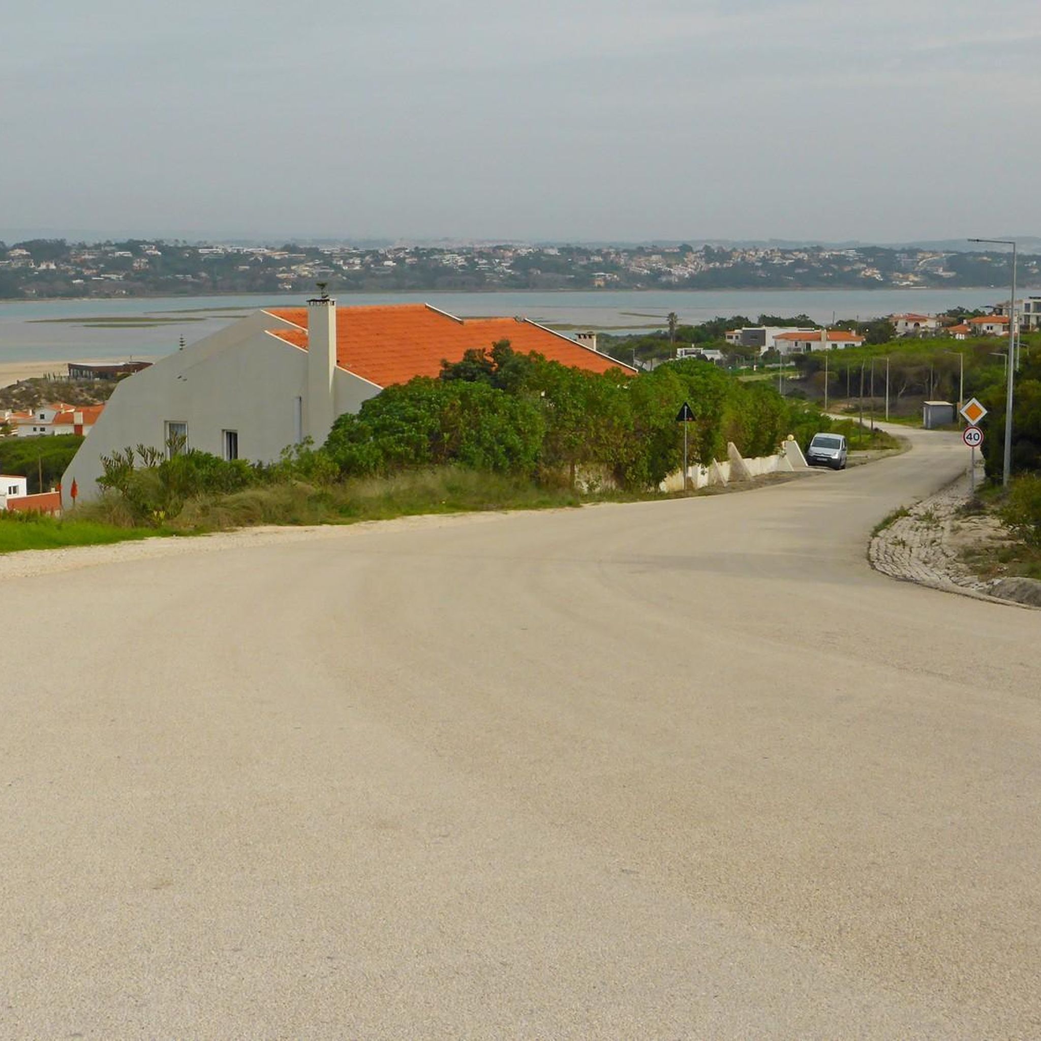
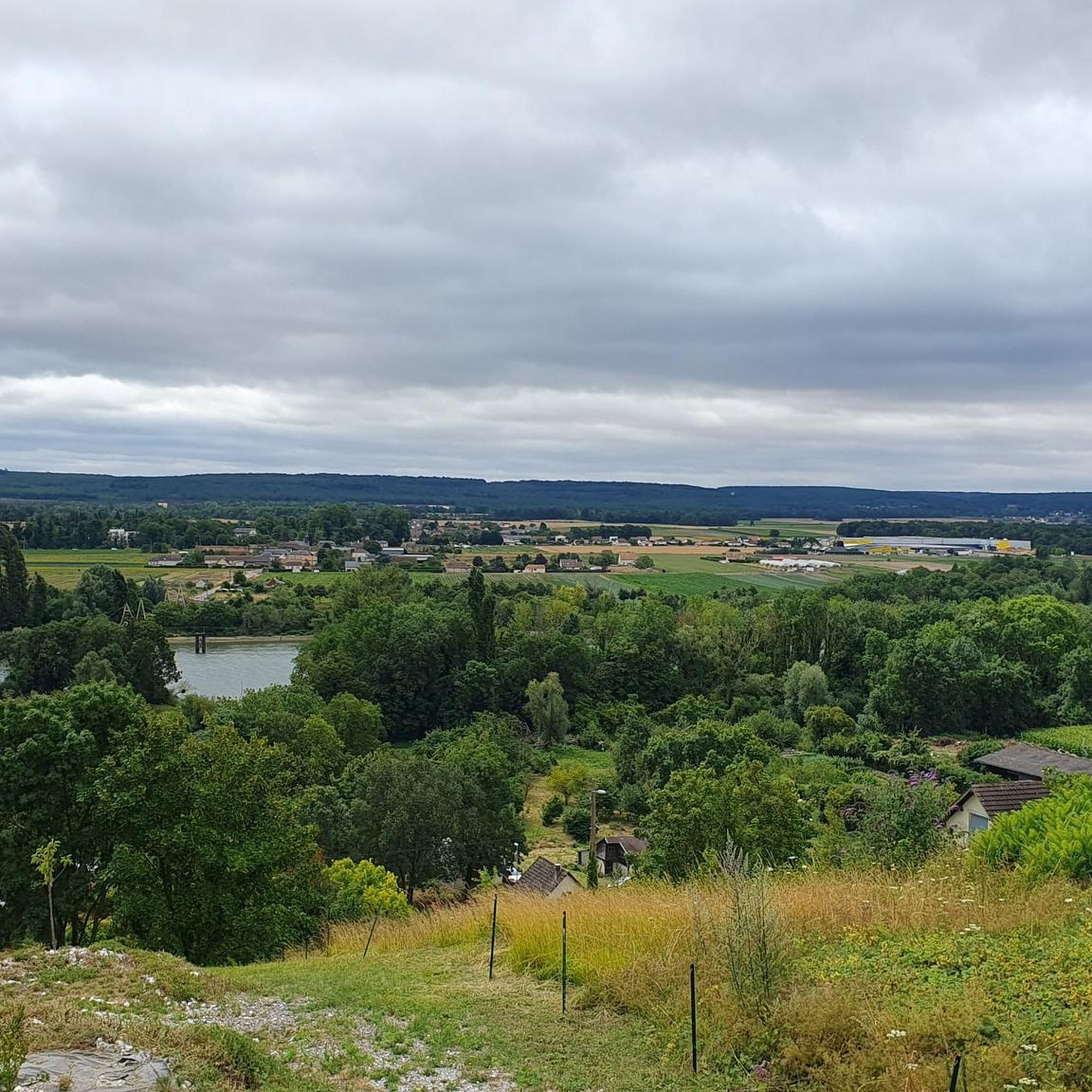
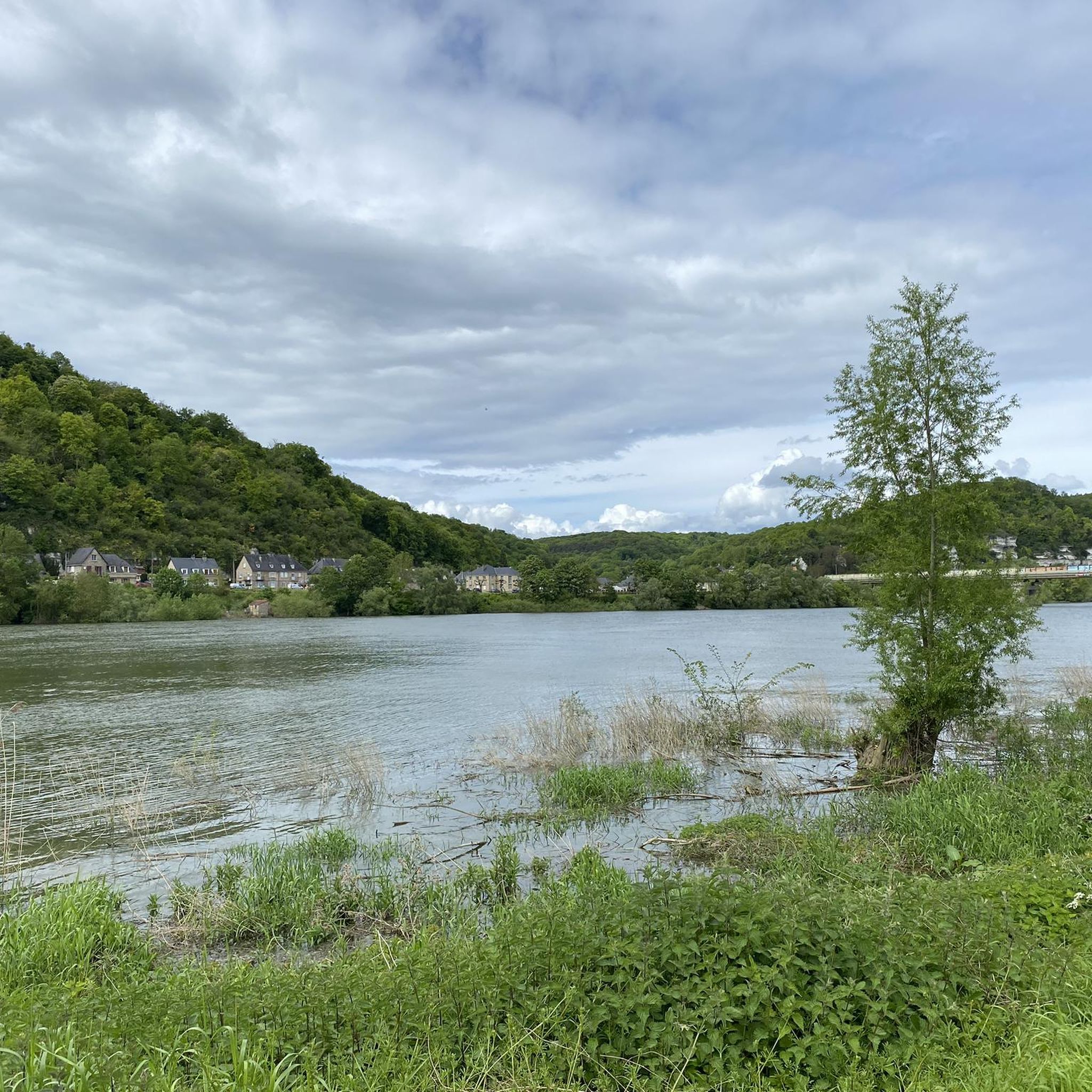
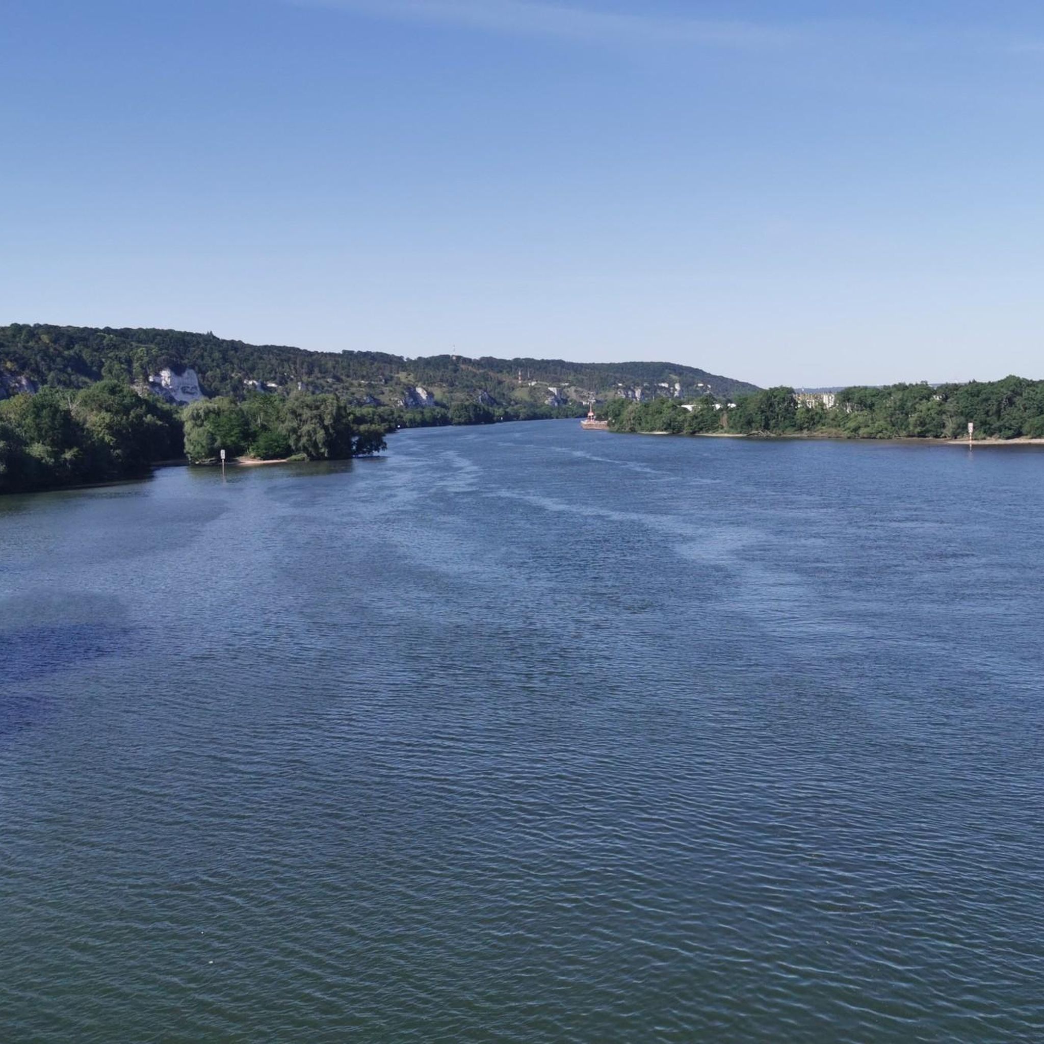
Tips from the Community


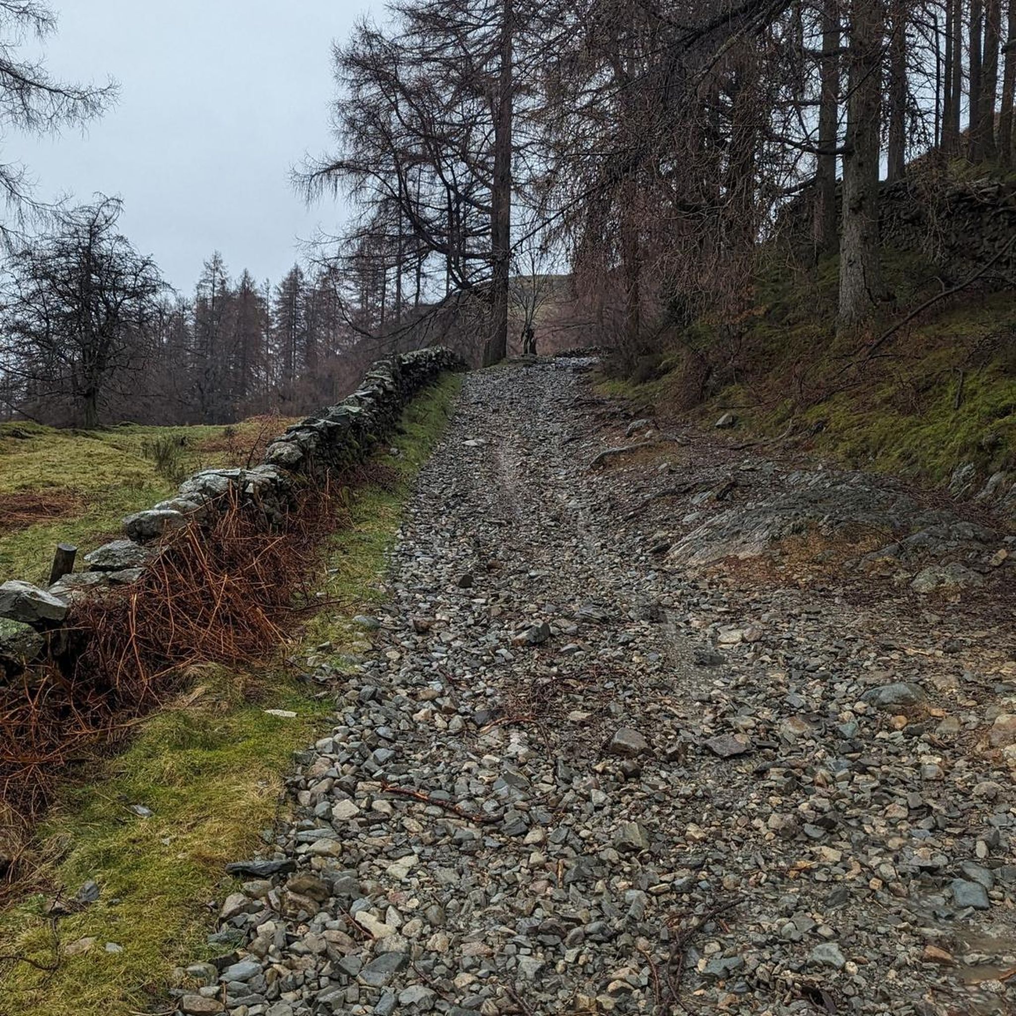
This 4,568 hectare forest located in the department of Eure, in Normandy, offers a wide variety of landscapes to discover. You will be able to appreciate the pine forests, the beech groves and the oak groves, and perhaps spot the fauna that lives in the forest, such as deer, wild boar, foxes and squirrels. You can also discover the history of the forest, which belonged to the Dukes of Normandy, then to the Kings of France, and which provided wood for shipbuilding and the manufacture of charcoal. The forest is a privileged place to have fun and run.
2
0
This pond combines nature and history since it is part of the national forest of Bord-Louviers, a forest dating from the Middle Ages which extends over more than 4,000 hectares. You can enjoy the view of the pond and the surrounding forest, and maybe spot frogs, dragonflies or birds. The pond is a peaceful and refreshing place where you can stop for a moment during the race.
2
0
This 4,568 hectare forest located in the department of Eure, in Normandy, offers a wide variety of landscapes to discover. You will be able to appreciate the pine forests, the beech groves and the oak groves, and perhaps spot the fauna that lives in the forest, such as deer, wild boar, foxes and squirrels. You can also discover the history of the forest, which once belonged to the Dukes of Normandy, then to the Kings of France, and which provided wood for shipbuilding and the manufacture of charcoal. The forest is a great place to have fun and relax.
3
0
This pond combines nature and history since it is part of the national forest of Bord-Louviers, a forest dating from the Middle Ages which extends over more than 4,000 hectares. You can enjoy the view of the pond and the surrounding forest, and maybe spot frogs, dragonflies or birds. The pond is a peaceful and refreshing place to relax.
3
1
Frequently Asked Questions
How many hiking trails are available around La Haye-Malherbe?
There are over 120 hiking routes around La Haye-Malherbe, offering a wide variety of options for different skill levels and preferences. This includes 55 easy trails, 63 moderate routes, and a few more challenging options.
What kind of landscapes can I expect to see while hiking in La Haye-Malherbe?
The region around La Haye-Malherbe offers diverse landscapes. You'll find extensive woodlands, particularly within the Forêt de Bord-Louviers, picturesque river valleys along the Eure and Oison, and rolling countryside with fields. A short distance away, you can also discover the impressive white chalk cliffs of Les Roches d'Orival, offering spectacular views over the Seine valley.
What do other hikers say about the trails in La Haye-Malherbe?
The hiking routes in La Haye-Malherbe are highly rated by the komoot community, with an average score of 4.5 stars from over 300 reviews. More than 1700 hikers have explored the varied terrain, often praising the quiet woodlands and well-maintained paths.
Are there easy or family-friendly hiking options in La Haye-Malherbe?
Yes, La Haye-Malherbe offers numerous easy and family-friendly hiking options. With 55 routes classified as easy, you can find gentle paths suitable for all ages. An example of an easy route is the Assae Pond of the Bord Lands – La Mare Asse loop from Saint-Pierre-lès-Elbeuf, which is just over 5 km long.
Can I find circular hiking routes in the area?
Many of the hiking routes around La Haye-Malherbe are circular, allowing you to start and end at the same point. Popular circular options include The Bord-Louviers state forest — loop from the Vallée and La Mare Asse loop from Tostes.
Are there any notable natural attractions or viewpoints along the trails?
Absolutely. The region is rich in natural beauty. You can explore the vast Forêt de Bord-Louviers, discover the tranquil La Mare Asse, or visit the dramatic White cliffs, the Roches d'Orival, which provide stunning views over the Seine valley.
What historical sites or villages can I explore while hiking?
Hiking in La Haye-Malherbe often leads through charming villages and past historical sites. Near the Roches d'Orival, you can find 17th-century Orival Troglodyte Caves carved into the rock. Further afield, you might encounter impressive structures like Houetteville Castle or Acquigny Castle, adding a cultural dimension to your outdoor adventure.
Are the hiking trails around La Haye-Malherbe dog-friendly?
Many trails in the La Haye-Malherbe area, especially those through the extensive forests like the Forêt de Bord-Louviers, are suitable for dogs. However, it's always recommended to keep dogs on a leash, especially in areas with wildlife or near private property, and to check specific trail regulations if available.
What is the best time of year to go hiking in La Haye-Malherbe?
The region is enjoyable for hiking throughout much of the year. Spring and autumn offer pleasant temperatures and beautiful scenery, with vibrant foliage in the forests during fall. Summer is also popular, though some riverbank sections might be impassable during floods in very wet periods. Winter hikes are possible, especially on well-maintained forest paths.
Is there public transport access to the hiking trails?
While specific public transport links directly to trailheads might be limited, many routes start from or pass through villages that may be accessible by local bus services. For more remote starting points, driving and parking are generally the most convenient options.
Are there options for longer, more challenging hikes?
Yes, while the majority of trails are easy to moderate, there are a few longer and more challenging routes available. For example, the La Mare Asse – Assae Pond of the Bord Lands loop from Saint-Pierre-lès-Elbeuf is a moderate 16.1 km path that takes around 4 hours 18 minutes to complete, offering a more extended exploration of the area.
Most popular routes around La Haye-Malherbe
Most popular attractions around La Haye-Malherbe

Get inspired with the komoot mobile app


Explore more
Browse the best Hikes in other regions.
