The best running trails around Chevrières
4.2
(108)
2,958
runners
302
runs
Jogging routes around Chevrières offer diverse landscapes across two distinct areas in France, providing varied terrain for runners. The region features a mix of dense woodlands, river valleys, and open countryside, with notable forests like Halatte, Compiègne, and Chantilly. Runners can explore paths ranging from gentle riverbank trails to routes with moderate elevation changes, including the area around Mont Pagnotte, the highest point in Valois. These natural features create a scenic and engaging environment for outdoor activities.
Best jogging routes…
Last updated: June 29, 2026
12
runners
5.35km
00:34
10m
10m
Moderate run. Good fitness required. Mostly paved surfaces. Suitable for all skill levels.
9
runners
7.68km
00:48
40m
40m
Moderate run. Good fitness required. Mostly paved surfaces. Suitable for all skill levels.

Sign up for free
9
runners
13.0km
01:21
60m
60m
Moderate run. Good fitness required. Mostly paved surfaces. Suitable for all skill levels.
7
runners
17.2km
02:05
300m
300m
Hard run. Very good fitness required. Mostly paved surfaces. Suitable for all skill levels.
5.0
(1)
12
runners
23.9km
02:32
100m
100m
Hard run. Very good fitness required. Mostly paved surfaces. Suitable for all skill levels.
Get access to more routes and recommendations from other explorers.
Sign up for free
Already have an account?
Our route recommendations are based on thousands of hikes, rides, and runs completed by other people on komoot.
Start today with a free account
Your next adventure awaits.
Login or Signup
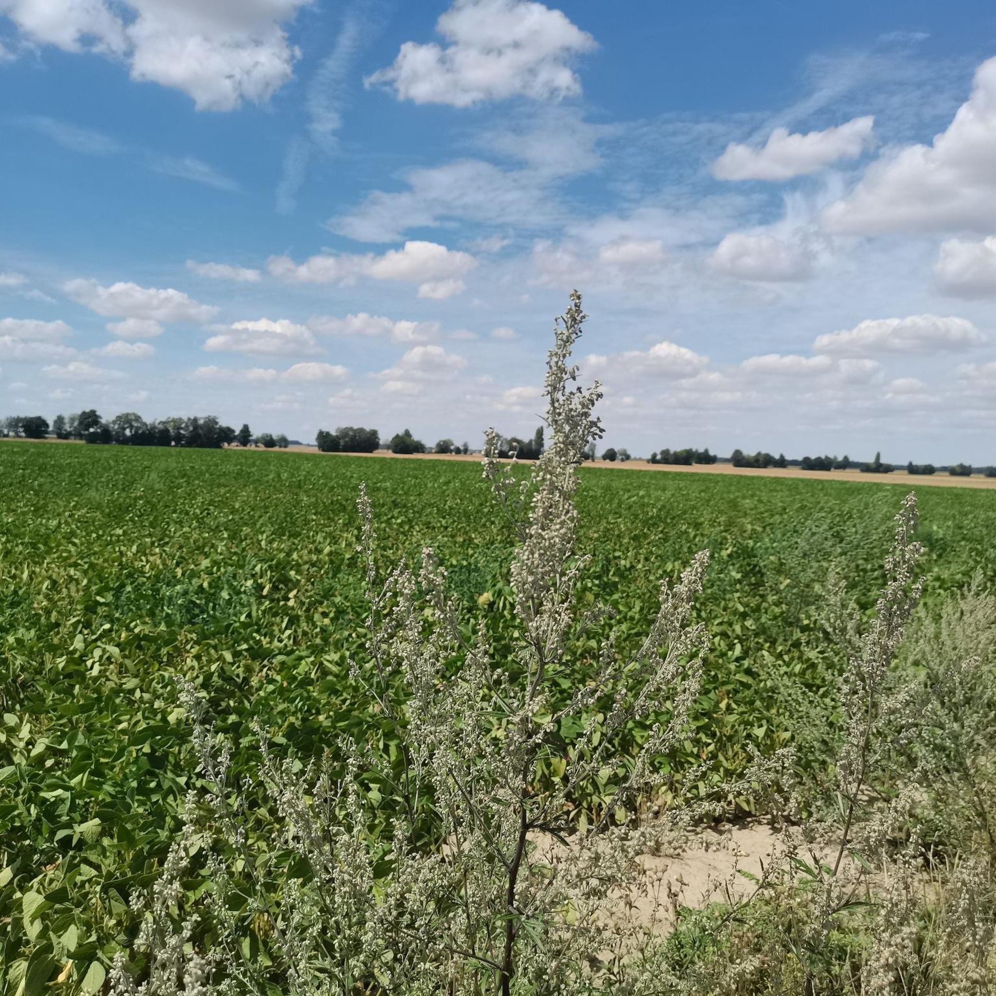


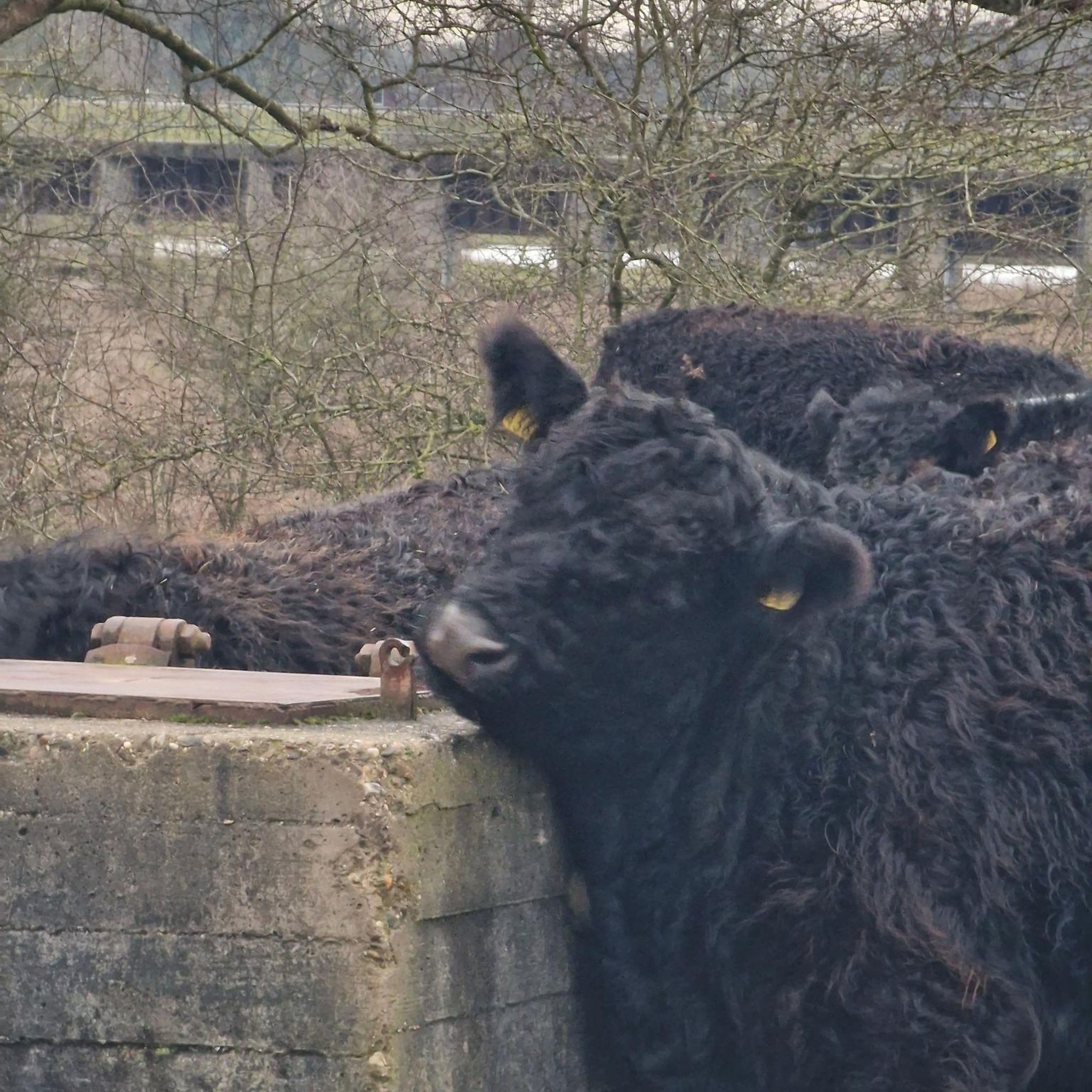

Tips from the Community

We love to walk on the Coulée Verte from Canly to Estrée Saint Denis on bikes it and very well maintained and very clean I recommend it
3
1
Frequently Asked Questions
How many running routes are available in Chevrières?
Chevrières offers a wide selection of running routes, with over 290 options recorded on komoot. These routes cater to various preferences, from easy paths to more challenging trails.
What types of terrain can I expect on Chevrières' jogging routes?
The terrain in Chevrières is quite diverse, reflecting its two distinct locations. In the Auvergne-Rhône-Alpes region, you'll find routes through woods, valleys, and along rivers, offering picturesque views of the Monts du Lyonnais and Monts du Forez. In the Oise department, the routes primarily traverse dense forests like Halatte, Compiègne, and Chantilly, providing a shaded, natural running experience.
Are there any easy or beginner-friendly running routes in Chevrières?
Yes, Chevrières has numerous easy running options. There are 26 routes classified as easy, perfect for beginners or those looking for a leisurely run. For example, the 'Autour de Chevrière' loop in Auvergne-Rhône-Alpes offers a shorter, mainly asphalt route with minimal elevation. In the Oise department, many forest trails provide gentle, flat surfaces.
What is the typical elevation gain on running trails in Chevrières?
Elevation gain varies significantly across Chevrières. Many easy routes, such as Running loop from pure sensation, have minimal elevation changes (around 7 meters). However, more challenging routes, like the 'GRAMMOND COISE CHATELUS loop' in Auvergne-Rhône-Alpes, can involve considerable elevation changes, and the Mont Bocquet loop from Longueil-Sainte-Marie features over 300 meters of ascent.
Are there any circular running routes in Chevrières?
Yes, many running routes in Chevrières are circular, allowing you to start and finish at the same point. Popular examples include the 'Château de Chevrières loop' and the 'Saint-Médard Church loop from Chevrières' in the Auvergne-Rhône-Alpes region. In the Oise department, forest trails often form convenient loops, such as the Running loop from Le Fayel.
What interesting landmarks or viewpoints can I see while jogging in Chevrières?
Chevrières offers several points of interest. In the Oise department, you can run to the Mont Pagnotte viewpoint, the highest point in Valois, offering panoramic forest views. Nearby, historical sites like the Royal Abbey of Moncel and Douye Castle add cultural interest. In Auvergne-Rhône-Alpes, routes often pass by the 'Château de Chevrières' and offer views of the Monts du Lyonnais and Monts du Forez.
What do other runners say about the trails in Chevrières?
The running routes in Chevrières are highly regarded by the komoot community, holding an average rating of 4.1 stars from nearly 100 reviews. Over 3000 runners have explored the varied terrain, often praising the scenic beauty of the woodlands, river valleys, and the diverse options available for all fitness levels.
Are there any family-friendly running paths in Chevrières?
Yes, many of the easier routes are suitable for families. The 'Autour de Chevrière' in Auvergne-Rhône-Alpes, with its minimal elevation and asphalt roads, is a good option. Similarly, the less challenging forest paths in the Oise department provide safe and enjoyable environments for families to jog together.
What is the best time of year to go running in Chevrières?
Chevrières offers good running conditions throughout much of the year. Spring and autumn provide pleasant temperatures and beautiful scenery, with vibrant foliage or blooming flowers. Summer is also suitable, especially on routes through the dense forests of the Oise department (Halatte, Compiègne, Chantilly), which offer welcome shade. Winter running is possible, though conditions may vary, particularly in the Auvergne-Rhône-Alpes region with its higher elevations.
Are there options for longer, more challenging runs in Chevrières?
Absolutely. For those seeking a greater challenge, Chevrières has 37 routes classified as difficult. The 'GRAMMOND COISE CHATELUS loop' in Auvergne-Rhône-Alpes covers nearly 17 km with significant elevation changes. Another demanding option is the Mont Bocquet loop from Longueil-Sainte-Marie, which spans over 17 km and includes substantial climbs.
Is public transport available to access running trails in Chevrières?
While specific public transport links directly to trailheads are not detailed, Chevrières is a commune in France, and local bus services or regional trains may connect to nearby towns. It's advisable to check local transport schedules for the specific Chevrières location you plan to visit (Auvergne-Rhône-Alpes or Oise department) to determine the best access options.
Where can I find parking for running routes in Chevrières?
Parking availability will depend on the specific trailhead. In general, for routes starting in or near villages like Chevrières, you can often find public parking areas. For forest trails, designated parking lots are usually available at popular access points, especially near attractions like the Mont Pagnotte viewpoint in the Oise department. Always check local signage for parking regulations.
Most popular routes around Chevrières
Most popular attractions around Chevrières

Get inspired with the komoot mobile app


Explore more
Browse the best Running Trails & Routes in other regions.
