The best walks and hikes around Étalans
4.4
(401)
2,110
hikers
105
hikes
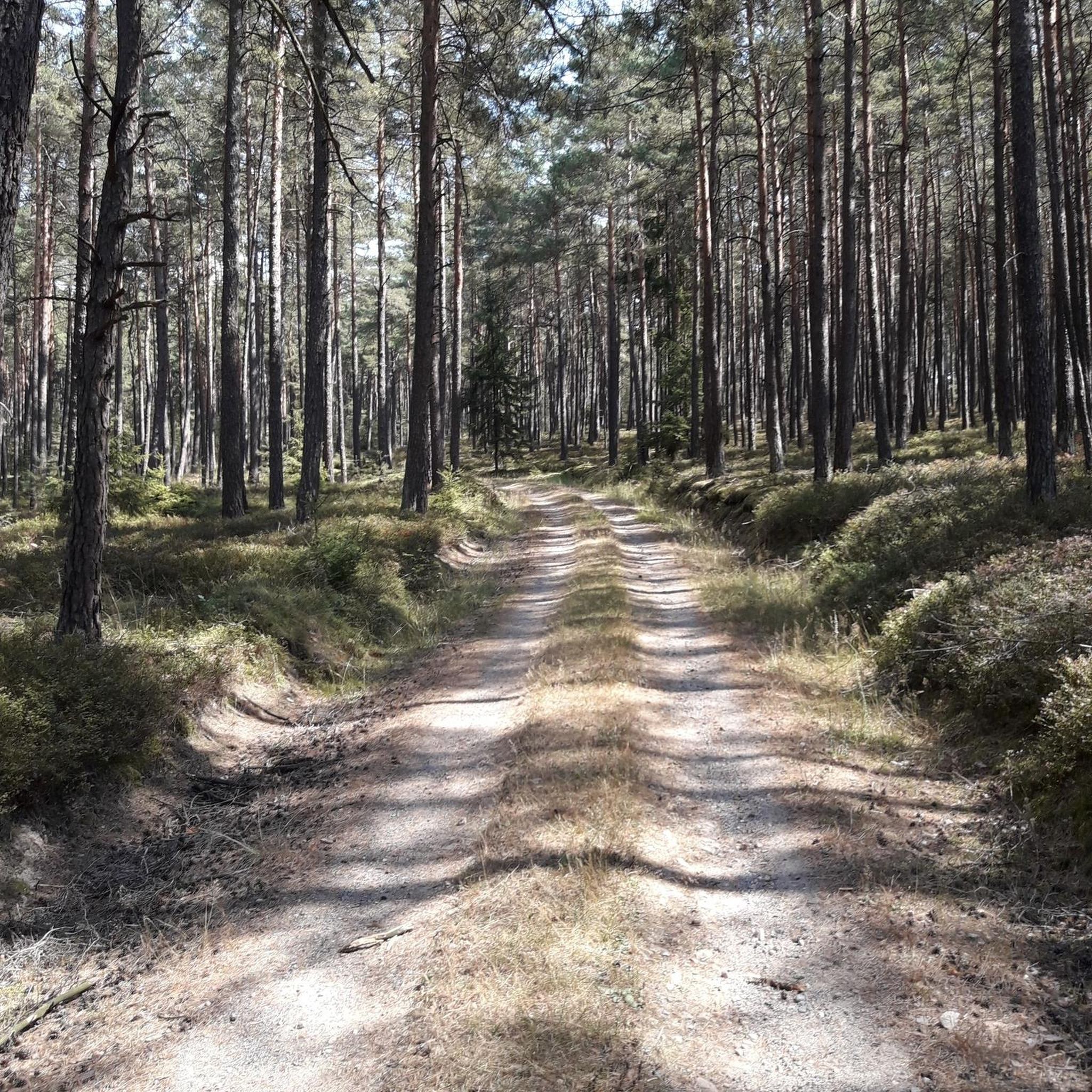
Hiking around Étalans offers diverse landscapes within the Doubs department of Bourgogne-Franche-Comté, part of the Massif du Jura region. The terrain features picturesque valleys carved by rivers like the Loue and Brême, characterized by limestone formations, gorges, and fir forests. High plateaus and rolling hills provide varied elevation, with prominent rock formations offering panoramic views over the Loue valley.
Best hiking trails around Étalans
- The most popular hiking route is Rocher du Tourbillon — loop via Bonnevaux-le-Prieuré, an easy…
Last updated: October 26, 2026
4.6
(14)
47
hikers
25.3km
06:50
290m
410m
Hard hike. Very good fitness required. Easily walkable paths.
4.3
(3)
16
hikers
5.57km
01:46
230m
230m
Easy hike. Easily walkable paths.

4.5
(20)
66
hikers
11.1km
03:06
230m
230m
Moderate hike. Good fitness required. Mostly walkable paths. Sure-footedness required.
3.7
(6)
48
hikers
11.0km
03:09
270m
270m
Moderate hike. Good fitness required. Easily walkable paths.
14
hikers
5.60km
01:32
90m
90m
Easy hike. Easily walkable paths.
Get access to more routes and recommendations from other explorers.
Already have an account?
Our route recommendations are based on thousands of hikes, rides, and runs completed by other people on komoot.
Start today with a free account
Your next adventure awaits.



Tips from the Community

Old railway line
0
0

Hut in the picture is not a shelter
0
0


Beautiful viewpoint
0
0
Snack area with 2 tables and benches
0
0

Junction of the D280 with the Voie Verte Du Plateau Du Doubs À Ornans. The voie Verte is located here on an old railway line.
8
0

Impeccable tarmac section for all types of cycling through the forest (uphill). There is a small stream/river on the right - La Brème.
3
0
Frequently Asked Questions
How many hiking trails are available around Étalans?
There are over 110 hiking trails around Étalans, offering a wide range of options for all skill levels. This includes approximately 44 easy routes, 58 moderate trails, and 8 more challenging hikes.
What kind of landscapes can I expect to see while hiking near Étalans?
Hiking near Étalans offers diverse landscapes characteristic of the Massif du Jura region. You'll encounter picturesque valleys carved by rivers like the Loue and Brême, dramatic limestone formations, gorges, and dense fir forests. High plateaus and rolling hills also provide varied terrain and panoramic views, particularly over the Loue valley from points like Roche Lahier and Roche Bottine.
Are there any family-friendly hiking options in the Étalans area?
Yes, Étalans offers several family-friendly hiking options. Many of the 44 easy routes are suitable for families. For a unique experience, consider the area around the Dino-Zoo du Doubs, which is set in a 15-hectare wooded park with clearings, waterfalls, and streams, providing an engaging natural backdrop for a walk. The Rocher du Tourbillon loop is also an easy route that includes a section along a former railway line, which can be interesting for children.
Are there any circular hiking routes around Étalans?
Yes, many of the trails around Étalans are designed as circular routes, allowing you to start and end at the same point. Examples include the moderate Gougnot Viewpoint – Belvedere de la roche botine loop from Saules, which offers beautiful views over the Loue valley, and the Brême Well – Les Ravines du Puits Noir loop from Bonnevaux-le-Prieuré, leading through wild gorges and fir forests.
What are some notable landmarks or attractions to see along the hiking trails?
The region around Étalans is rich in natural and historical landmarks. You can explore charming towns like Ornans, known for its scenic setting on the Loue River, or Vuillafans with its preserved old mansions. Hikers can also discover impressive structures like the Old railway bridge (Viaduc de la Brème), which offers panoramic views. The Gouffre de Poudrey (Poudrey Chasm) is another significant geological marvel nearby.
What do other hikers say about the trails in Étalans?
The hiking trails in Étalans are highly regarded by the komoot community, with an average rating of 4.4 stars from over 290 reviews. Hikers often praise the diverse terrain, the stunning views of the Loue and Brême valleys, and the well-maintained paths that cater to various fitness levels.
Are there any trails that follow old railway lines?
Yes, some trails in the Étalans area incorporate sections of former railway lines. For instance, the Rocher du Tourbillon loop includes a part of an old railway line, leading to a belvedere with views of the Brême valley. The impressive Old railway bridge (Viaduc de la Brème) is also a prominent feature on some routes.
Can I find trails with viewpoints offering scenic vistas?
Absolutely. The region is known for its spectacular viewpoints. Trails often lead to prominent rock formations like Roche Lahier and Roche Bottine, which provide panoramic vistas over the Loue valley. The Gougnot Viewpoint – Belvedere de la roche botine loop from Saules is specifically designed to showcase these stunning views, encompassing areas from Ornans to Montgesoye.
Are there any challenging day hikes for experienced hikers?
Yes, for experienced hikers seeking a challenge, Étalans offers routes like the difficult Grotte de Fontaine – View of the Château d'Ornans loop from Bonnevaux-le-Prieuré. This trail covers over 18 kilometers and involves significant elevation changes, providing a rewarding experience through the region's rugged terrain.
What is the best time of year to go hiking in Étalans?
The best time for hiking in Étalans is generally from spring to autumn, when the weather is mild and the natural landscapes are vibrant. Spring brings blooming flora, while autumn offers beautiful fall colors in the forests. Summer is also popular, but be prepared for warmer temperatures. Winter hiking is possible, but conditions can be challenging with snow and ice, especially on higher elevations and in gorges.
Are there any trails that follow rivers or lead to water features?
Yes, many hiking trails in Étalans follow the course of the Loue and Brême rivers. The Loue River is particularly celebrated for its clear waters and the impressive limestone formations it traverses, creating dramatic gorges. You can find trails that lead along the riverbanks, connecting charming towns, and even discover features like the Riverside Rest Area on the Loue.
Most popular attractions around Étalans

Get inspired with the komoot mobile app


Explore more
Browse the best Hikes in other regions.
