The best MTB trails around Saint-Projet-De-Salers
4.2
(56)
489
riders
48
rides
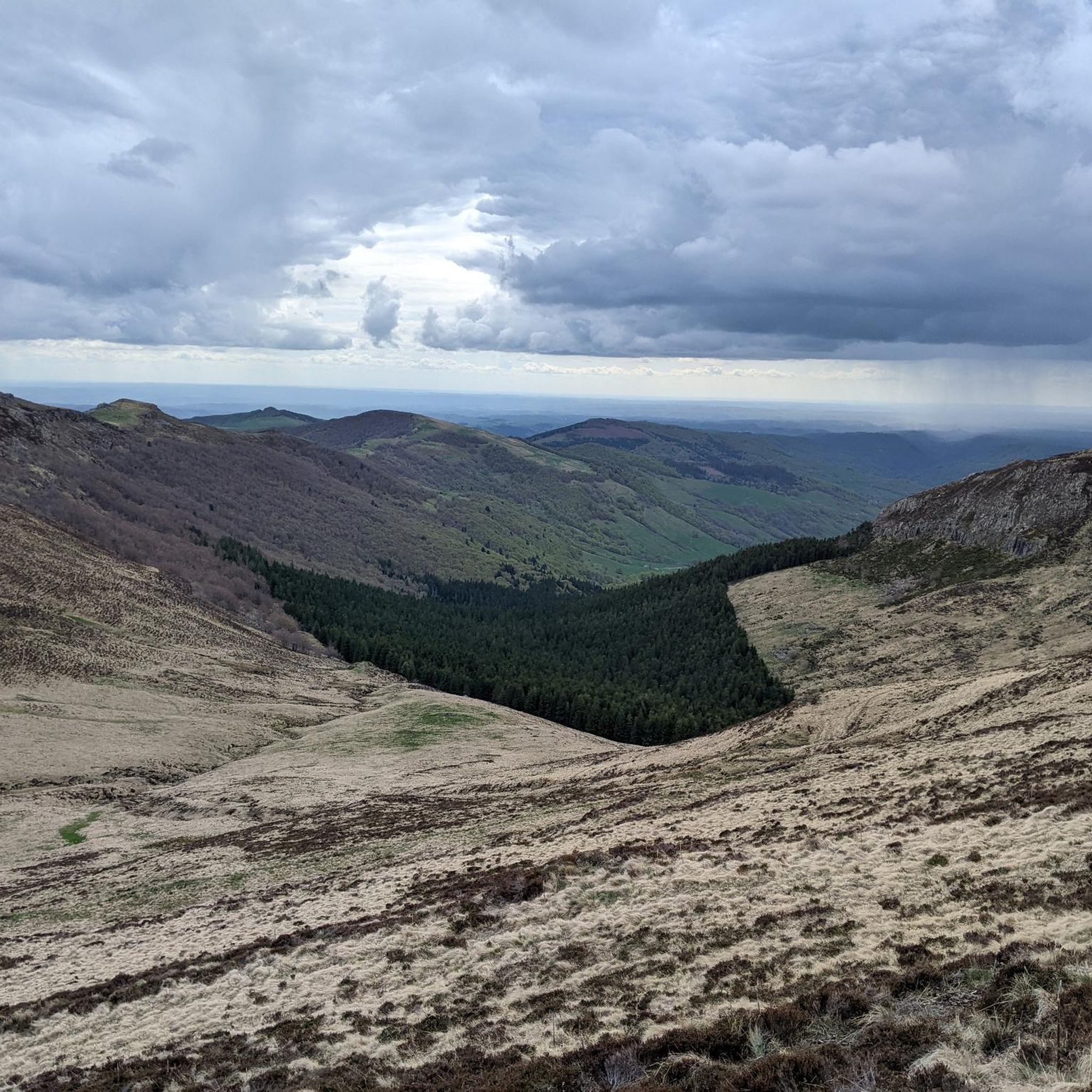
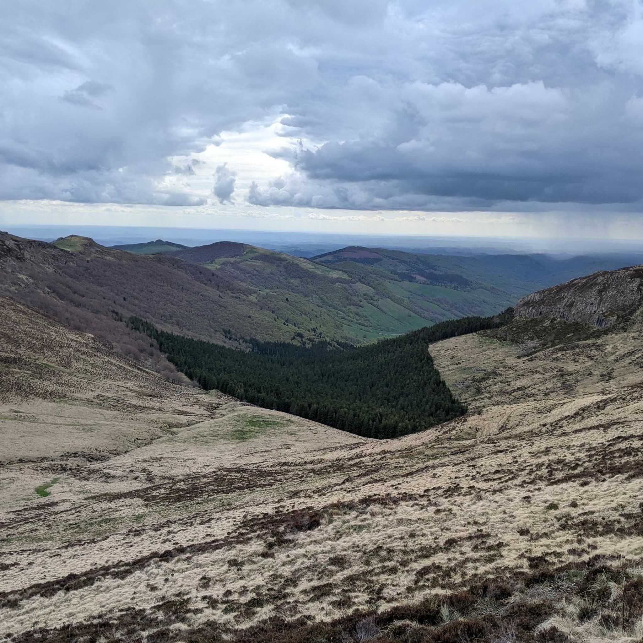
Mountain biking around Saint-Projet-De-Salers offers routes through dramatic volcanic landscapes and challenging terrain in the Cantal department of south-central France. The region is characterized by the majestic peaks of the Cantal mountains, remnants of Europe's largest stratovolcano, providing varied elevations and technical sections. Riders will encounter rugged volcanic soil, deep valleys, and high mountain passes such as Pas de Peyrol and Col de Légal. This diverse environment makes it an exceptional destination for mountain biking.
Best mountain bike trails around Saint-Projet-De-Salers
- The most popular mountain bike trail is Le PuyMary Loop – Aubrav loop from Col de Serre, a 14.1 miles (22.6 km) trail that takes 2 hours 15 minutes to complete. This moderate route offers views of the iconic Puy Mary.
- Another top favourite among local mountain bikers is Salers / Puy Mary loop from Saint-Paul-de-Salers, a difficult 28.7 miles (46.2 km) path. This route traverses varied terrain around the historic village of Salers and towards Puy Mary.
- Local mountain bikers also love the Route du Puy Mary – Neronne Pass loop from Salers, a 31.8 miles (51.1 km) trail leading through the Cantal mountains and over Neronne Pass, often completed in about 3 hours 25 minutes.
- Mountain biking around Saint-Projet-De-Salers is defined by volcanic peaks, deep valleys, and challenging mountain passes. The network offers options for different ability levels, from moderate climbs to difficult, long-distance routes.
- The routes in Saint-Projet-De-Salers are highly rated by the komoot community with an average score of 4.2 stars from more than 50 reviews. More than 500 mountain bikers have used komoot to explore Saint-Projet-De-Salers's varied terrain.
Last updated: July 13, 2026
4.8
(5)
27
riders
31.5km
03:20
980m
980m
Hard mountain bike ride. Very good fitness required. Advanced riding skills necessary. Some portions of the route may require you to push your bike.
4.5
(2)
14
riders
26.5km
02:39
830m
830m
Moderate mountain bike ride. Good fitness required. Suitable for all skill levels.

Sign up for free
10
riders
40.6km
03:29
930m
930m
Hard mountain bike ride. Very good fitness required. Suitable for all skill levels.
4.0
(2)
11
riders
23.6km
01:48
560m
560m
Moderate mountain bike ride. Good fitness required. Suitable for all skill levels.
3.0
(2)
12
riders
53.4km
04:00
1,250m
1,250m
Hard mountain bike ride. Very good fitness required. Suitable for all skill levels.
Get access to more routes and recommendations from other explorers.
Sign up for free
Already have an account?
Our route recommendations are based on thousands of hikes, rides, and runs completed by other people on komoot.
Start today with a free account
Your next adventure awaits.
Login or Signup

Tips from the Community

A must-do, no difficulties, the view is amazing
0
0

Either stressful or relaxed from Puy Mary.
0
0
A beautiful, partly shady climb from Claux to the pass. Then the real challenge begins at Puy Mary.
0
0
Great scenery, beautiful road, beautiful views. Perfect for a downhill ride.
0
0


Quickly move through the landscape on the balcony.
1
0
The route takes you through incredibly beautiful scenery as you head up the valley.
1
0
Frequently Asked Questions
How many mountain bike trails are available around Saint-Projet-De-Salers?
There are over 50 mountain bike trails around Saint-Projet-De-Salers. These routes cater to various skill levels, with a nearly even split between moderate and difficult options.
Are there mountain bike trails suitable for beginners or families in Saint-Projet-De-Salers?
While the region is known for its challenging volcanic terrain, there are moderate trails that can be suitable for riders with some experience. For example, the Le PuyMary Loop – Aubrav loop from Col de Serre is a moderate 22.6 km route offering scenic views without extreme difficulty. It's always best to check the route details for elevation and technical sections to ensure it matches your family's skill level.
What are the typical distances and durations for mountain bike routes in this area?
Mountain bike routes around Saint-Projet-De-Salers vary significantly. Moderate trails, like the Le PuyMary Loop – Aubrav loop from Col de Serre, are around 22 km and take about 2 hours 15 minutes. More challenging routes, such as the Salers / Puy Mary loop from Saint-Paul-de-Salers, can be over 46 km and require around 3 hours 36 minutes to complete.
What kind of terrain can I expect on the mountain bike trails in Saint-Projet-De-Salers?
The terrain is characterized by dramatic volcanic landscapes, offering a mix of rugged volcanic soil, deep valleys, and challenging mountain passes. You'll encounter varied elevations, from moderate climbs to demanding ascents over passes like Pas de Peyrol and Col de Légal, remnants of Europe's largest stratovolcano.
Are there any loop trails for mountain biking in Saint-Projet-De-Salers?
Yes, many mountain bike routes in the area are designed as loops. Examples include the Route du Puy Mary – Neronne Pass loop from Salers, which is a 51.1 km trail, and the Mountainbike loop from Mandailles, covering 31.2 km.
What are some notable viewpoints or landmarks along the mountain bike trails?
The region is rich in stunning natural landmarks. Many trails offer views of iconic peaks such as Puy Mary Summit and Plomb du Cantal. You might also traverse high mountain passes like Pas de Peyrol Pass or Neronne Pass, which provide panoramic vistas of the Cantal mountains.
What is the best time of year for mountain biking in Saint-Projet-De-Salers?
The best time for mountain biking is typically from late spring through early autumn (May to October), when the weather is generally milder and the trails are clear of snow. The region's high altitude means that some passes can be inaccessible in winter. Always check local weather conditions before heading out.
Are dogs allowed on the mountain bike trails around Saint-Projet-De-Salers?
While many outdoor areas in France are dog-friendly, it's important to check specific trail regulations, especially within protected natural areas like the Parc des Volcans. Always keep dogs under control, on a leash where required, and be mindful of local wildlife and livestock.
Where can I find parking for mountain biking in Saint-Projet-De-Salers?
Parking is generally available at the start points of many popular trails and in nearby villages. For routes starting from specific passes or villages, designated parking areas are usually provided. For example, routes around Puy Mary often have parking facilities at Col de Serre or Pas de Peyrol.
What do other mountain bikers enjoy most about the trails in Saint-Projet-De-Salers?
The komoot community highly rates the mountain biking experience in Saint-Projet-De-Salers, with an average score of 4.2 stars from over 50 reviews. Riders frequently praise the dramatic volcanic landscapes, the challenging and varied terrain, and the breathtaking panoramic views from the mountain passes and summits.
Are there any challenging mountain bike routes for experienced riders?
Yes, Saint-Projet-De-Salers offers numerous difficult routes for experienced mountain bikers. For instance, the Jordanne gorges – Col d'Aisses loop from Lascelle is a demanding 27.1 km trail with significant elevation gain, and the Salers / Puy Mary loop from Saint-Paul-de-Salers is a difficult 46.2 km path traversing varied and technical terrain.
Can I find amenities like cafes or restaurants near the mountain bike trails?
While the trails themselves often traverse remote natural areas, you can find amenities in the charming nearby villages such as Salers, Saint-Projet-De-Salers, or Saint-Paul-de-Salers. These villages offer places to refuel and relax after your ride. It's advisable to carry sufficient water and snacks, especially on longer routes.
Most popular routes around Saint-Projet-De-Salers
Most popular attractions around Saint-Projet-De-Salers

Get inspired with the komoot mobile app


Explore more
Browse the best MTB trails in other regions.
