The best road cycling routes around La Condamine-Châtelard
4.5
(440)
24,329
riders
70
rides
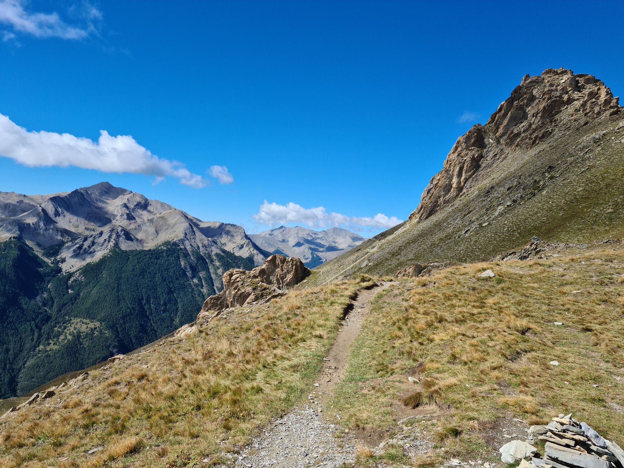
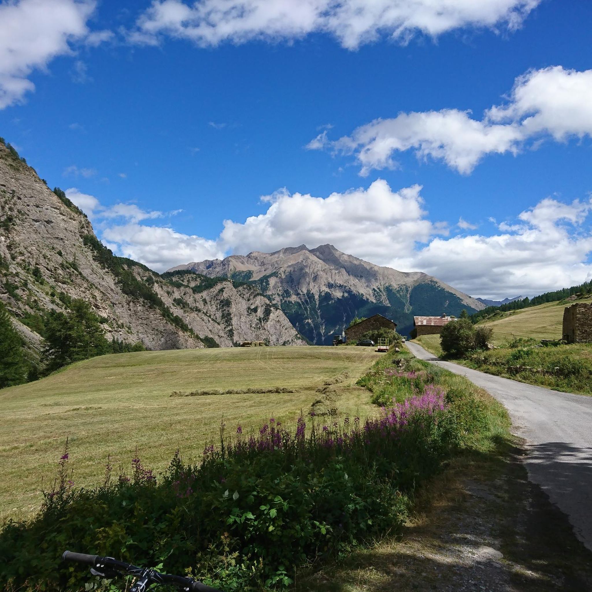
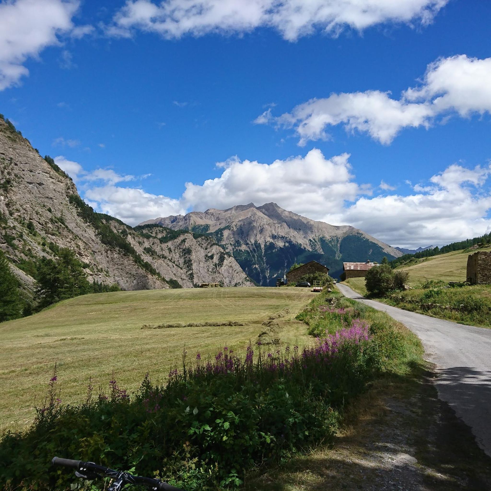
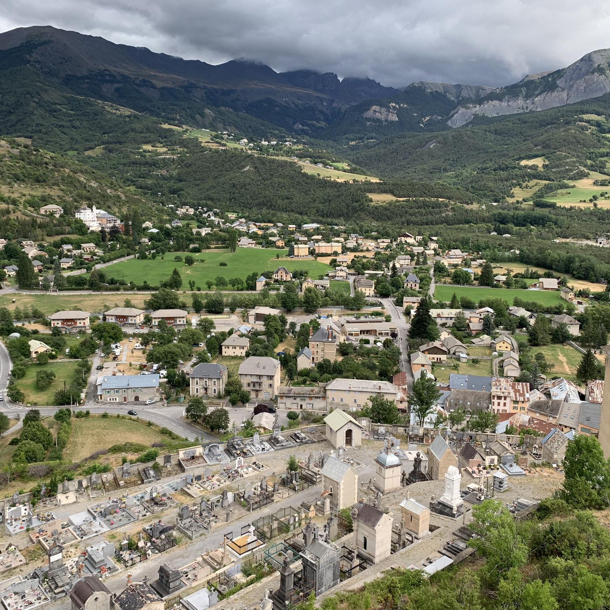
Road cycling around La Condamine-Châtelard, located in France's Ubaye valley within the Alpes-de-Haute-Provence, is characterized by a mountainous landscape with imposing peaks and deep valleys. The region features significant elevation changes, with routes often traversing high mountain passes such as Col de Vars and Col de Larche. The terrain includes roaring torrents like the Ubaye River and offers a network of roads suitable for challenging road cycling.
Best road cycling routes around La Condamine-Châtelard
- The most popular road cycling route…
Last updated: October 16, 2026
4.9
(70)
3,749
riders
60.8km
03:48
1,710m
1,710m
Hard road ride. Very good fitness required. Mostly well-paved surfaces and easy to ride.
4.8
(23)
747
riders
70.4km
04:05
1,690m
1,690m
Hard road ride. Very good fitness required. Mostly well-paved surfaces and easy to ride.

4.8
(12)
387
riders
31.1km
02:10
1,110m
1,110m
Hard road ride. Very good fitness required. Mostly well-paved surfaces and easy to ride.
4.3
(3)
162
riders
39.0km
02:04
720m
720m
Moderate road ride. Good fitness required. Mostly well-paved surfaces and easy to ride.
5.0
(1)
93
riders
76.5km
04:20
1,680m
1,680m
Hard road ride. Very good fitness required. Mostly well-paved surfaces and easy to ride.
Get access to more routes and recommendations from other explorers.
Already have an account?
Our route recommendations are based on thousands of hikes, rides, and runs completed by other people on komoot.
Start today with a free account
Your next adventure awaits.
Popular around La Condamine-Châtelard

Other adventures around La Condamine-Châtelard

Tips from the Community

Important pass between France and Italy, it is surrounded by a frame of wonderful mountains, which make you want to return to the valley. Several points of interest "anthropogenic" - including: French side, a contour line model of the area of the pass; Italian side, memorial monuments to Tazio Nuvolari and Fausto Coppi, protagonist on this pass of the legendary feat of the Cuneo-Pinerolo stage in 1949.
1
0

You can have a drink and enjoy some snacks there. But only in the summer. In winter the pass is closed.
0
0

One of the last opportunities to fill your water bottles before the Col de Vars.
0
0

There is a fountain further up the climb. The water is good.
1
0
I would say that it is the only bar on both sides of the Col de la Bonette. Its location is perfect and in summer you can enjoy pleasant sunshine and good views.
0
0
An ideal place to rest and have a picnic after having achieved the Col de la Bonette trophy. The views are beautiful and you can enjoy the company of the marmots (as long as you don't make too much noise). During the climb, this lake coincides with a very small stretch where the slope gives us some respite.
0
0

It reaches above 2000 m. Views are wonderful.
20
0
Ideal village for practicing summer and winter sports.
18
0
Frequently Asked Questions
What kind of terrain can I expect when road cycling around La Condamine-Châtelard?
Road cycling in La Condamine-Châtelard is characterized by a mountainous landscape with imposing peaks and deep valleys. You'll encounter significant elevation changes, often traversing high mountain passes like Col de Vars and Col de Larche. The region features challenging 'calf-pulling passes' and routes that are frequently part of major cyclosportive events, offering a mix of moderate to very hard options.
How many road cycling routes are available in the La Condamine-Châtelard area?
There are over 60 road cycling routes around La Condamine-Châtelard, catering to various fitness levels. This includes 11 easy routes, 20 moderate routes, and 30 difficult routes, ensuring options for different abilities.
Are there road cycling routes suitable for beginners in La Condamine-Châtelard?
While many routes in La Condamine-Châtelard are challenging, there are 11 easy road cycling routes available. These routes offer a gentler introduction to the region's beautiful scenery without the demanding elevation gains of the higher passes.
What do other cyclists say about road cycling in La Condamine-Châtelard?
The road cycling routes in La Condamine-Châtelard are highly rated by the komoot community, with an average score of 4.6 stars from over 300 reviews. More than 21,000 road cyclists have used komoot to explore the varied terrain, often praising the dramatic Alpine scenery and the challenge of the mountain passes.
What natural attractions can I see along road cycling routes in La Condamine-Châtelard?
The region offers breathtaking mountain vistas and natural features. You can encounter roaring torrents like the Ubaye River, and explore areas near the Jerusalem Spring. The area is also a gateway to several renowned mountain passes such as Col de Vars and Col de Larche, which offer panoramic views. Nearby, you can find beautiful lakes like Lake Sainte-Marguerite and Lac Napoléon.
Are there any historical landmarks or points of interest to visit while cycling?
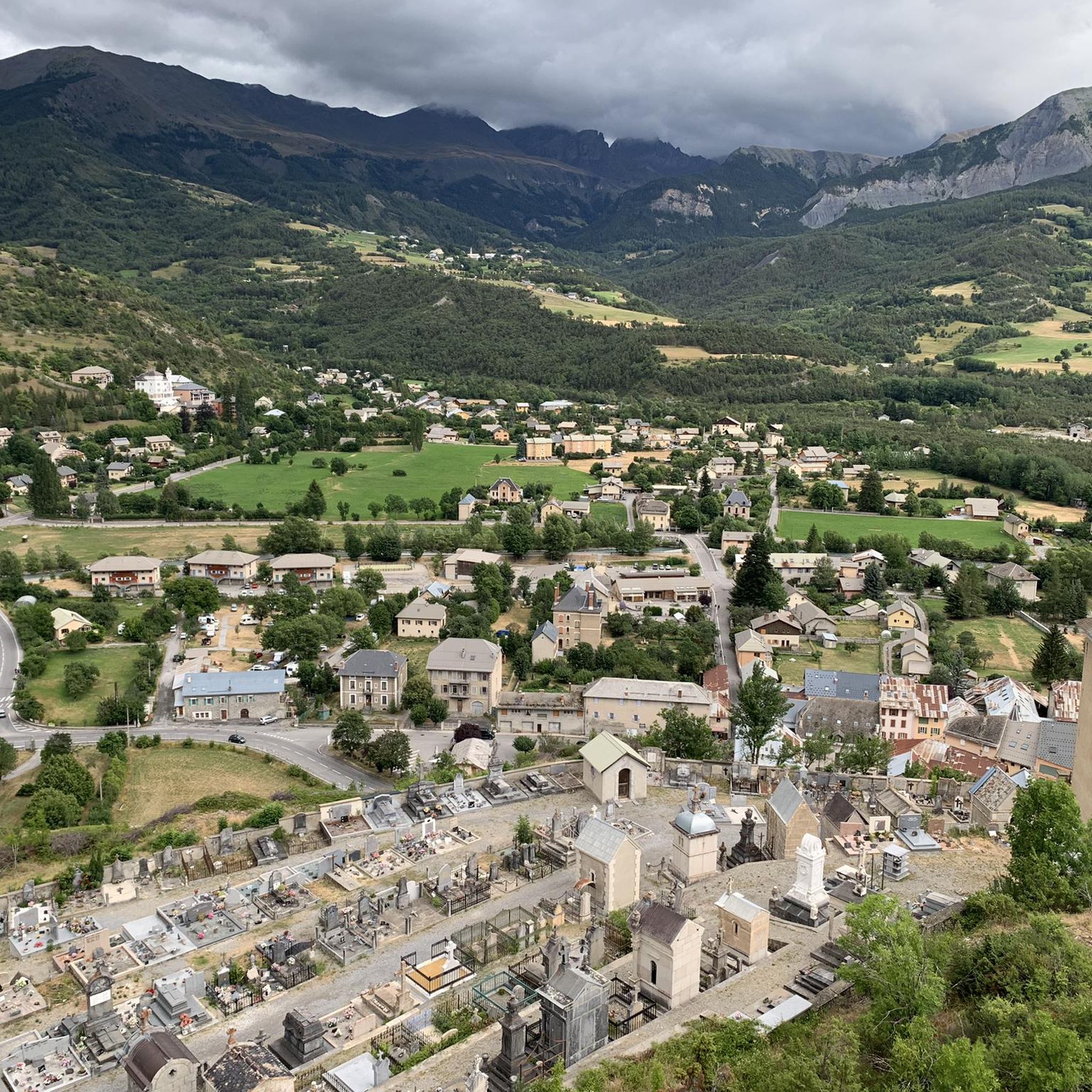
Yes, beyond its natural beauty, La Condamine-Châtelard has historical sites. The imposing 19th-century Fort de Tournoux, often called the 'military Versailles,' dominates the landscape and offers sweeping views. You can also explore the picturesque Hamlet of Châtelard for spectacular panoramic views, or remnants of World War II defense posts at the Fouillouse Stronghold.
When is the best time of year to go road cycling in La Condamine-Châtelard?
The best time to go road cycling in La Condamine-Châtelard is typically from late spring to early autumn. During these months, mountain passes like Col de Vars and Col de Larche are generally clear of snow and open, offering optimal conditions for tackling the challenging ascents and enjoying the Alpine scenery. Always check local road conditions before planning your ride, especially for high mountain passes.
Are there family-friendly road cycling options in La Condamine-Châtelard?
Yes, while the region is known for its challenging climbs, there are 11 easy road cycling routes that can be more suitable for families. These routes typically feature less elevation gain and are often found along river valleys, providing a more relaxed cycling experience amidst the beautiful scenery.
Can I bring my dog on road cycling routes in this region?
While many outdoor areas in France are dog-friendly, road cycling routes are primarily on paved roads and passes. It's generally not recommended to bring dogs on road bikes due to safety and comfort. For walks with your dog, consider exploring trails in the Ubaye Valley or Mercantour National Park, but always check specific park regulations regarding pets.
Are there any circular road cycling routes in La Condamine-Châtelard?
Yes, many of the road cycling routes in La Condamine-Châtelard are designed as loops, allowing you to start and finish in the same location. Examples include the challenging Ubaye River – Jausiers loop from Jausiers or the demanding Col de Vars – Vars loop from Jausiers.
What are some of the most iconic mountain passes for road cycling in the area?
La Condamine-Châtelard is a gateway to several iconic mountain passes. The Col de Vars (2,108 meters) is a frequent feature of the Tour de France. The Col de Larche (1,991 meters) connects France with Italy and remains open year-round. Other nearby challenges include the Col de la Bonette, Col d'Allos, and Col de la Cayolle, all offering significant elevation gains and stunning views.
Where can I find parking for road cycling routes in La Condamine-Châtelard?
Parking is generally available in and around the main villages like La Condamine-Châtelard and Jausiers, which serve as common starting points for many road cycling routes. Specific parking facilities may vary, so it's advisable to check local signage upon arrival.
Are there options for bike rental in La Condamine-Châtelard?
While specific bike rental shops in La Condamine-Châtelard itself might be limited, larger towns in the Ubaye Valley or nearby popular cycling hubs are more likely to offer road bike rental services. It's recommended to check with local tourism offices or sports shops in advance for availability.
Most popular routes around La Condamine-Châtelard
Most popular attractions around La Condamine-Châtelard

Get inspired with the komoot mobile app


Explore more
Browse the best Road cycling routes in other regions.
