The best running trails around Mont-D'Origny
4.3
(8)
547
runners
78
runs
Jogging around Mont-D'Origny offers diverse terrain shaped by its hydrography and agricultural landscapes. The region is drained by the Oise River and the Canal de la Sambre à l'Oise, providing numerous waterside running opportunities. A bocage landscape, characterized by fields, small woods, and hedgerows, offers varied and visually engaging routes. The area also features terrain suitable for cross-country running, combining roads and trails.
Best jogging routes around Mont-D'Origny
- The most popular jogging route is Running loop from Mont-d'Origny, a…
Last updated: July 13, 2026
4.0
(1)
12
runners
7.79km
00:48
40m
40m
Moderate run. Good fitness required. Mostly paved surfaces. Suitable for all skill levels.
7
runners
6.40km
00:40
20m
20m
Moderate run. Good fitness required. Mostly paved surfaces. Suitable for all skill levels.

Sign up for free
7
runners
11.3km
01:10
50m
50m
Moderate run. Good fitness required. Mostly paved surfaces. Suitable for all skill levels.
20
runners
16.0km
01:39
60m
60m
Hard run. Very good fitness required. Mostly paved surfaces. Suitable for all skill levels.
5
runners
16.3km
01:42
100m
100m
Hard run. Very good fitness required. Mostly paved surfaces. Suitable for all skill levels.
Get access to more routes and recommendations from other explorers.
Sign up for free
Already have an account?
Our route recommendations are based on thousands of hikes, rides, and runs completed by other people on komoot.
Start today with a free account
Your next adventure awaits.
Login or Signup
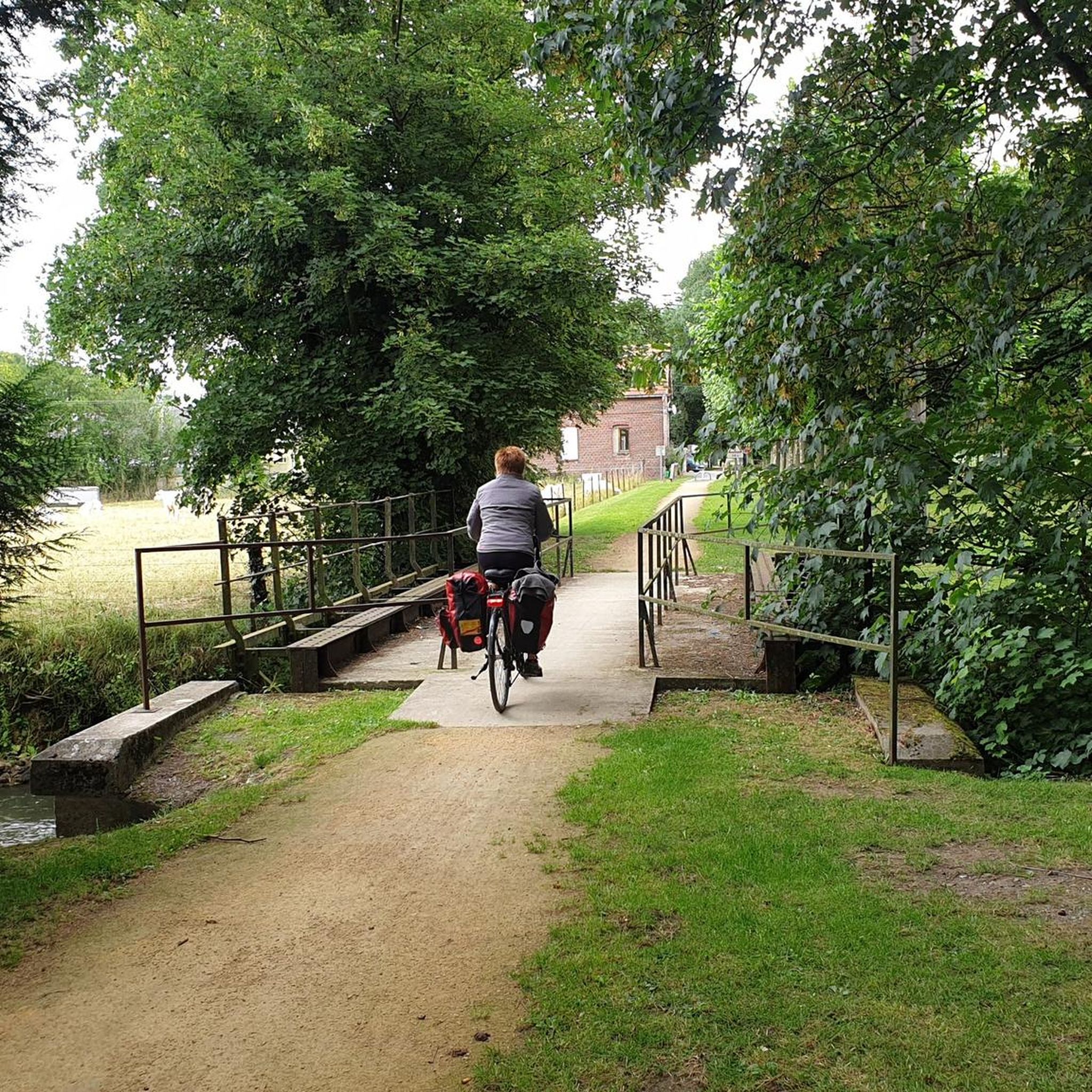

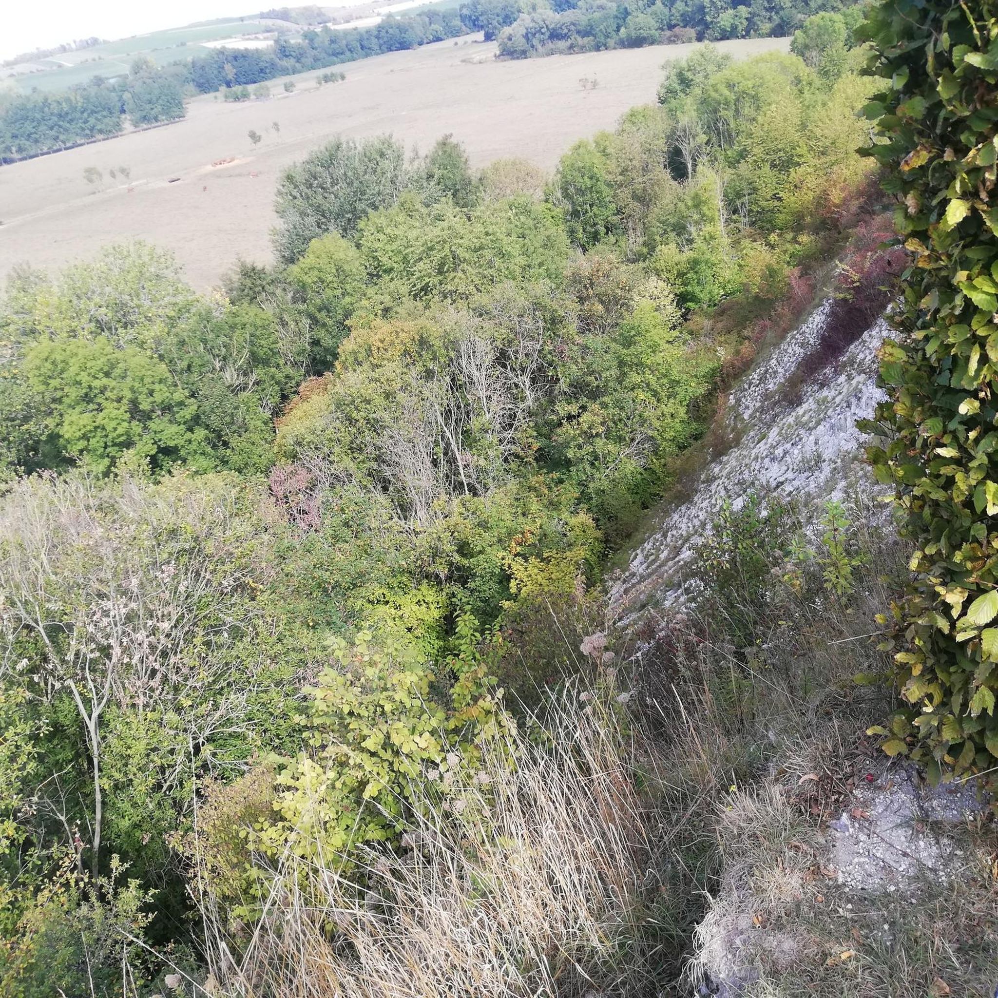
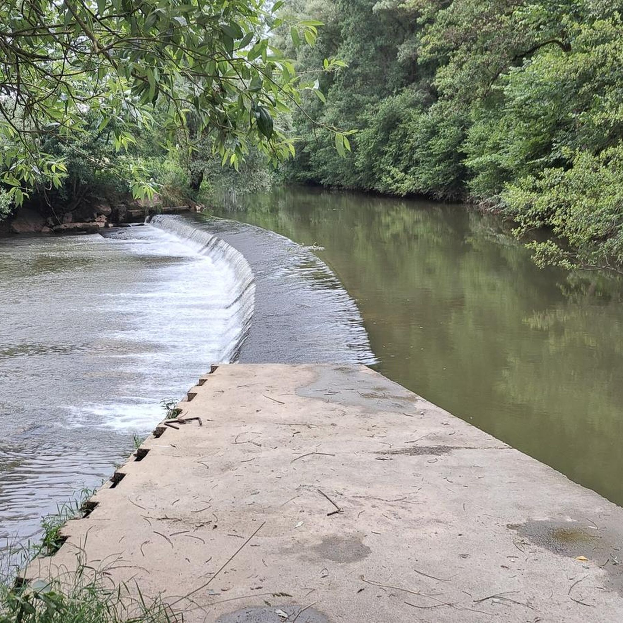
Tips from the Community

Very nice little village with pretty churches and monuments; a few cafes, restaurants and bakeries of course.
0
0

The track runs along the Oise all the way, first in town, then between the fields and the barges. On arrival at the Croix Saint Ouen, you have to drive through the village and on small roads to catch up with the cycle paths inside the forest. It is best to start south of Compiègne in the ZAC de Mercières, near the swimming pool and the ice rink. The place is easy to spot. The walk is very nice and runs along the Oise. You always have to stay on your side.
0
0

It's very green, we are close to nature.
0
0

An excellently developed bike path through beautiful countryside along the river. Highly recommended!
0
0

a highlight on the EV3 between Charleroi and Paris
1
1
one of the most beautiful stretches along the L'oise / Sambre canal.
0
0

Nice path along the Oise.
2
0
Frequently Asked Questions
How many running routes are available around Mont-D'Origny?
Mont-D'Origny offers a wide selection of running routes, with over 60 different trails available. These routes cater to various preferences, from leisurely jogs to more challenging runs.
What kind of terrain can I expect on the running routes in Mont-D'Origny?
The terrain around Mont-D'Origny is quite diverse. You'll find many scenic routes along the Oise River and the Canal de la Sambre à l'Oise, which are generally flat and well-maintained. The broader region also features a charming bocage landscape with a mix of fields, small woods, and hedgerows, providing varied and visually engaging paths. Some routes also incorporate more challenging sections suitable for cross-country running.
Are there running routes suitable for different fitness levels?
Yes, Mont-D'Origny offers routes for all fitness levels. You can find easy paths perfect for a relaxed jog, a significant number of moderate trails, and even some difficult routes for those seeking a more intense workout. For example, the Sambre-Oise Canal loop from Luvy is a challenging 10.1-mile trail.
What do other runners enjoy most about jogging in Mont-D'Origny?
The running routes in Mont-D'Origny are highly rated by the komoot community, with an average score of 4.7 stars. Runners often praise the varied terrain, the peaceful waterside paths along the Oise River and Canal, and the opportunity to explore the picturesque bocage landscape.
Are there any family-friendly running paths in Mont-D'Origny?
Yes, many of the flatter paths along the Oise River and the Canal de la Sambre à l'Oise are suitable for families. These routes often provide a pleasant and safe environment for a leisurely run or walk. Consider routes with gentle elevation changes for a comfortable family outing.
Can I bring my dog on the running trails?
Generally, dogs are welcome on many outdoor trails in the Mont-D'Origny area. However, it's always recommended to keep your dog on a leash, especially in agricultural areas or near wildlife, and to check local signage for any specific restrictions on individual routes.
Are there any interesting landmarks or sights to see along the running routes?
Yes, the region offers several points of interest. You might encounter sections of the Bike path along the Oise or the broader Canal cycling route. A bit further afield, the tranquil Source of the Somme offers a beautiful natural attraction. The area's bocage landscape itself, with its apple trees and hawthorn hedges, provides a scenic backdrop for your run.
Are there circular running routes available?
Yes, many of the running routes in Mont-D'Origny are designed as loops, allowing you to start and finish at the same point. Examples include the popular Running loop from Mont-d'Origny and the Running loop from Bernot, both offering convenient circular paths.
Is parking available near the trailheads?
Parking availability varies by trailhead. In Mont-D'Origny and surrounding villages like Origny-Sainte-Benoite or Bernot, you can often find public parking areas close to the start of popular routes. It's advisable to check specific route details or local maps for designated parking spots.
How can I access the running routes using public transport?
Public transport options directly to specific trailheads might be limited in some rural areas around Mont-D'Origny. However, local bus services connect Mont-D'Origny with nearby towns. From these central points, you may be able to access routes within walking or a short taxi ride. For detailed information on regional transport, it's best to consult local transport authority websites.
What is a good moderate running route to try in the area?
A great moderate option is the Running loop from Origny-Sainte-Benoite. This 7-mile (11.3 km) path offers a pleasant run through the local countryside with manageable elevation changes, typically taking about 1 hour and 10 minutes to complete.
Are there any longer running routes that incorporate canal paths?
Yes, for a longer run that features canal paths, consider the Wooden Horse and Cart Statue – Canal cycling route loop from Origny-Sainte-Benoite. This moderate 7.4-mile (11.9 km) route follows sections of the scenic canal network, offering a pleasant waterside experience.
Most popular attractions around Mont-D'Origny

Get inspired with the komoot mobile app


Explore more
Browse the best Running Trails & Routes in other regions.
