The best walks and hikes around Bad Pirawarth
4.6
(946)
4,321
hikers
47
hikes
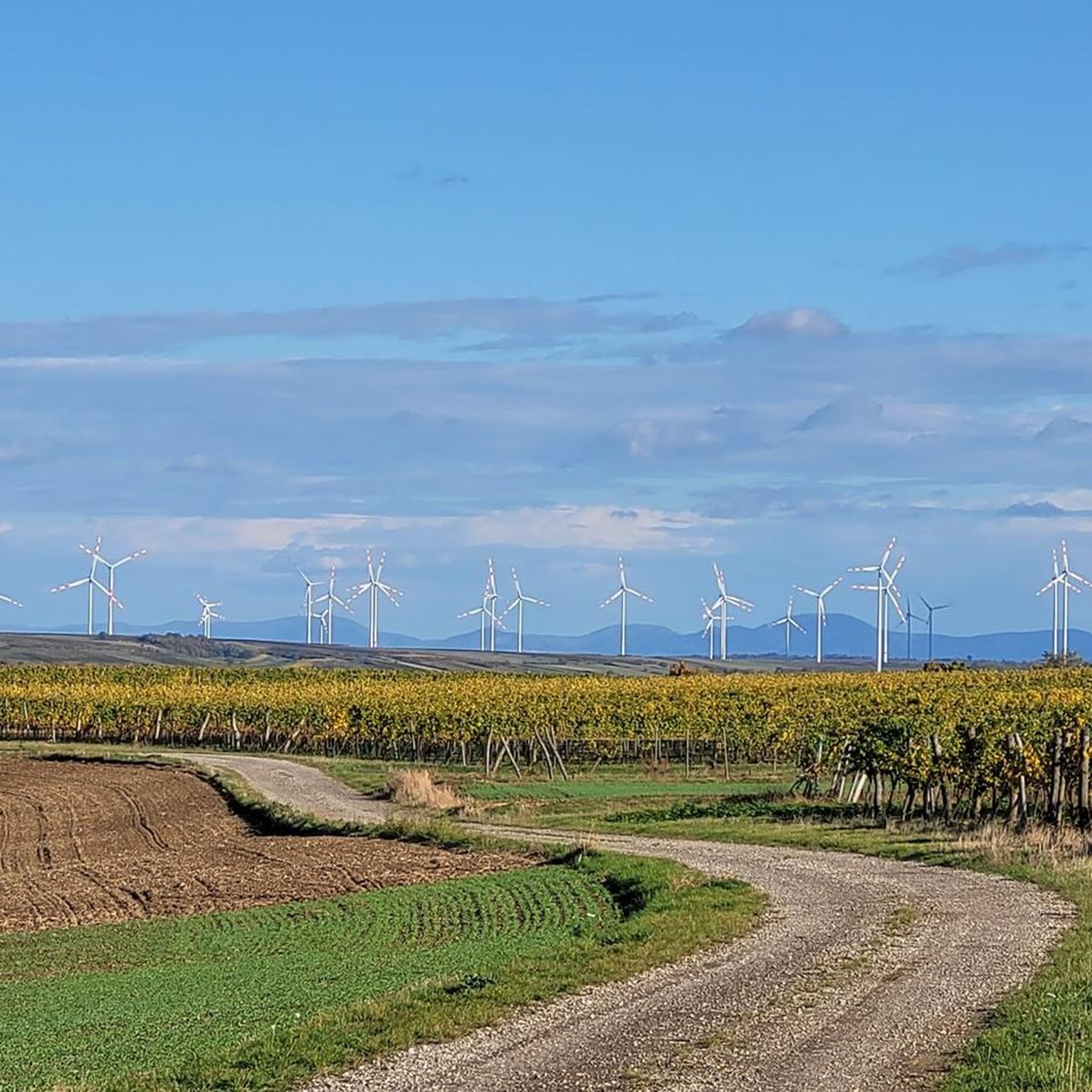
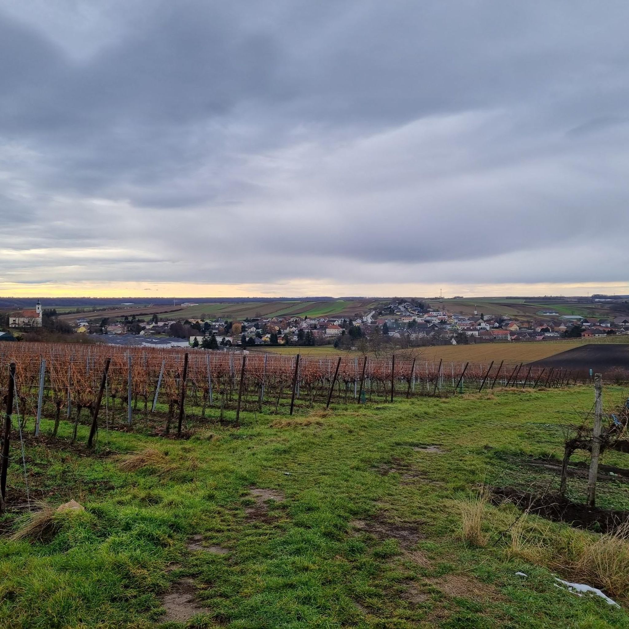
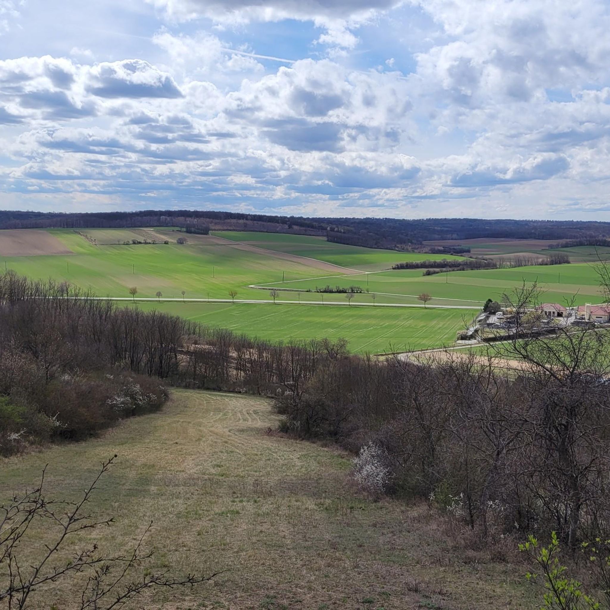
Hiking around Bad Pirawarth offers a network of trails primarily through gentle, rolling terrain characteristic of the Weinviertel region. The landscape features a mix of open fields, agricultural areas, and small woodlands, with minimal elevation changes. Routes often connect local landmarks, parks, and quiet village paths, providing accessible outdoor experiences. The area is well-suited for leisurely walks and family-friendly excursions.
Best hiking trails around Bad Pirawarth
- The most popular hiking route is Kurpark Bad Pirawarth – Sprottenmaren Crucifix loop from…
Last updated: July 15, 2026
4.5
(40)
118
hikers
Easy hike. Great for any fitness level. Easily-accessible paths. Suitable for all skill levels.
4.7
(3)
25
hikers
3.90km
01:00
20m
20m
Easy hike. Great for any fitness level. Easily-accessible paths. Suitable for all skill levels.

Sign up for free
4.0
(4)
31
hikers
Easy hike. Great for any fitness level. Easily-accessible paths. Suitable for all skill levels.
4.6
(8)
30
hikers
Easy hike. Great for any fitness level. Easily-accessible paths. Suitable for all skill levels.
4.7
(3)
19
hikers
6.85km
01:48
60m
60m
Easy hike. Great for any fitness level. Easily-accessible paths. Suitable for all skill levels.
Get access to more routes and recommendations from other explorers.
Sign up for free
Already have an account?
Our route recommendations are based on thousands of hikes, rides, and runs completed by other people on komoot.
Start today with a free account
Your next adventure awaits.
Login or Signup
Tips from the Community

It is recommended to take the short route as the last few hundred meters are a road hike.
0
0


Here you can quietly observe the highland cattle; they have also been bred in Austria since 1985.
5
0
With thoughts resting in the background iron cross with Jesus.
5
0
Once you've reached the top, you'll have a fantastic view while sitting on the rest bench.
5
0
Nice ambience, reasonable normal prices - attention only Buschenschank, that means no warm food and no coffee. www.eschberger.at/
4
1
Yes, there is still an open position here for a great foresight.
5
0
Ascending you can see some standing works of art, forming a fence.
5
0
Frequently Asked Questions
What kind of hiking trails can I expect around Bad Pirawarth?
The trails around Bad Pirawarth are primarily through gentle, rolling terrain characteristic of the Weinviertel region. You'll find a mix of open fields, agricultural areas, and small woodlands, with minimal elevation changes. The area is well-suited for leisurely walks and family-friendly excursions.
How many hiking trails are available in Bad Pirawarth?
There are over 50 hiking routes available around Bad Pirawarth, offering a variety of options for different preferences and fitness levels.
Are there easy hiking trails suitable for beginners or families?
Yes, Bad Pirawarth is ideal for easy hikes. Approximately two-thirds of the routes are classified as easy, perfect for beginners or families. An example is the St. Thomas Chapel – Church of Bad Pirawarth loop from Bad Pirawarth, which is about 3.8 km long.
Are there any circular walks in Bad Pirawarth?
Many of the trails in Bad Pirawarth are designed as circular walks, allowing you to start and end at the same point. For instance, the popular Kurpark Bad Pirawarth – Sprottenmaren Crucifix loop from Bad Pirawarth is a 6.1 km circular route.
What are some interesting landmarks or attractions to see while hiking?
While hiking, you can explore various points of interest. You might encounter historical sites like the Wolkersdorf Castle or the Iron Cross Paasdorf. For a moment of reflection, the Pilgrimage church of St. Lambert on the Holy Mountain is also nearby. Nature lovers might enjoy the Würnitz Forest Pond.
Are there any places to stop for refreshments or a break along the trails?
Yes, you can find several huts and facilities in the vicinity. The Weingarten Hut, Hirta Hut, and V.H. Viertler Hut offer opportunities for a break. Additionally, the Pillichsdorf Rest Area provides facilities.
What do other hikers say about the trails in Bad Pirawarth?
The hiking trails in Bad Pirawarth are highly regarded by the komoot community, with an average rating of 4.6 stars from over 140 reviews. Hikers often praise the well-maintained paths and the peaceful, accessible nature of the routes.
Are there any longer or more challenging hikes available?
While the region is known for its gentle terrain, there are some moderate options for those looking for a bit more distance. For example, the Playground in Austria – Franz Josef Monument loop from Bad Pirawarth is a moderate 8.4 km path that combines recreational areas with historical monuments.
Is Bad Pirawarth suitable for hiking with dogs?
The gentle terrain and numerous paths through fields and woodlands make Bad Pirawarth generally dog-friendly. Always ensure your dog is on a leash, especially near agricultural areas or wildlife, and be mindful of local regulations.
Can I reach the hiking trails in Bad Pirawarth using public transport?
Bad Pirawarth is accessible by public transport, primarily via bus services connecting to larger towns. Check local bus schedules for the most convenient stops near trailheads, especially if you plan to start directly from the village center.
Where can I park my car when hiking in Bad Pirawarth?
Parking is generally available in and around the village center of Bad Pirawarth, often near public facilities or designated parking areas. Look for signs indicating public parking, especially if you're starting a loop trail from the village.
What is the best season for hiking in Bad Pirawarth?
The gentle landscape of Bad Pirawarth makes it suitable for hiking across multiple seasons. Spring and autumn offer pleasant temperatures and beautiful scenery, while summer provides lush green views. Even in winter, with minimal snow, the trails can be enjoyable for a crisp walk.
Most popular routes around Bad Pirawarth
Most popular attractions around Bad Pirawarth

Get inspired with the komoot mobile app


Explore more
Browse the best Hikes in other regions.
