The best walks and hikes around Cys-La-Commune
4.4
(184)
580
hikers
75
hikes
Hiking around Cys-La-Commune offers trails through rural landscapes and agricultural areas in the Aisne department. The terrain is generally gentle, characterized by waterways such as the Canal latéral de l'Aisne and modest elevation changes. The region features open fields, scattered woodlands, and historical points of interest, providing a tranquil setting for outdoor activities.
Best hiking trails around Cys-La-Commune
- The most popular hiking route is Along the Canal latéral de l'Aisne — loop from Saint Mard, a 5.1 miles (8.3…
Last updated: July 5, 2026
2
hikers
8.28km
02:08
40m
40m
Moderate hike. Good fitness required. Easily-accessible paths. Suitable for all skill levels.
4.3
(12)
19
hikers
10.5km
02:49
130m
130m
Moderate hike. Good fitness required. Easily-accessible paths. Suitable for all skill levels.

Sign up for free
4.0
(4)
10
hikers
4.70km
01:11
10m
10m
Easy hike. Great for any fitness level. Easily-accessible paths. Suitable for all skill levels.
4.0
(3)
7
hikers
6.94km
01:46
20m
20m
Easy hike. Great for any fitness level. Easily-accessible paths. Suitable for all skill levels.
4.0
(3)
7
hikers
6.98km
01:46
20m
20m
Easy hike. Great for any fitness level. Easily-accessible paths. Suitable for all skill levels.
Get access to more routes and recommendations from other explorers.
Sign up for free
Already have an account?
Our route recommendations are based on thousands of hikes, rides, and runs completed by other people on komoot.
Start today with a free account
Your next adventure awaits.
Login or Signup

Tips from the Community

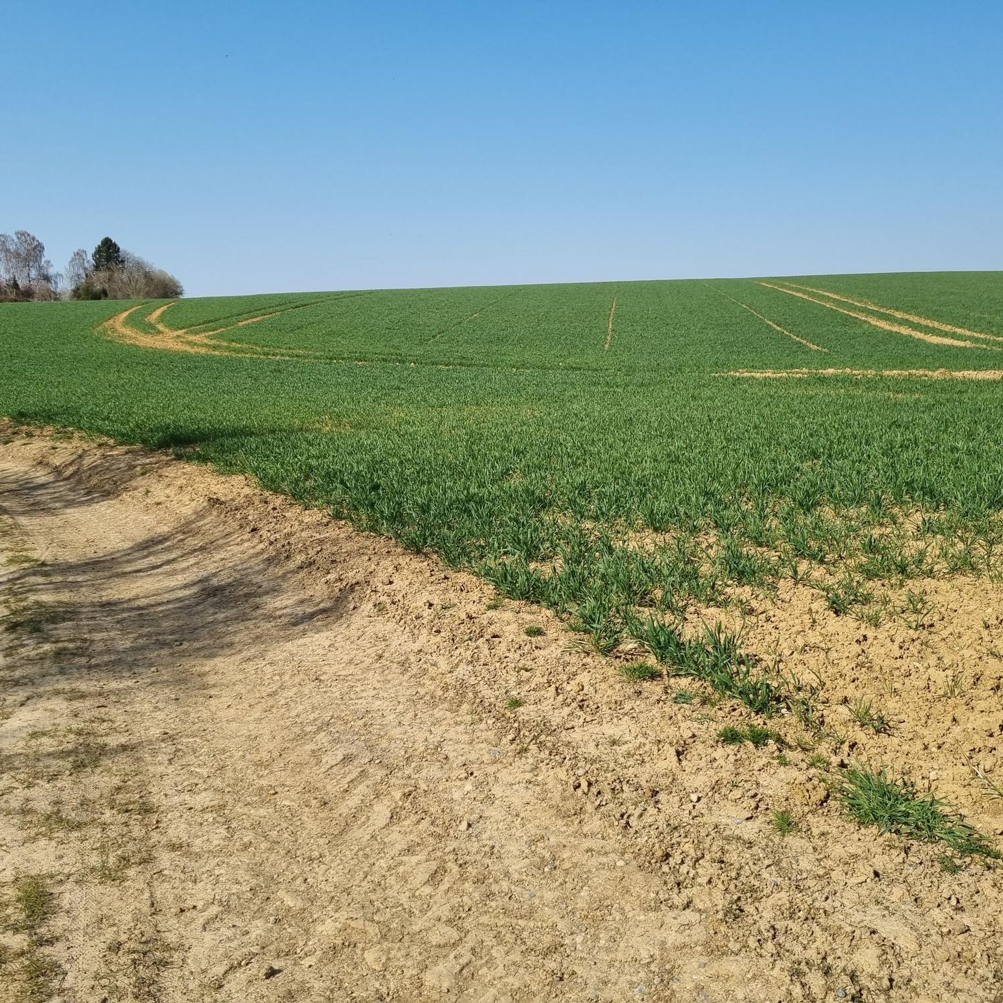
Along this canal towpath you can enjoy the wide open spaces, the perfect path and views of the surrounding villages and churches.
2
0

The church dates from the middle of the 13th century. Under the Old Regime, the parish came under the diocese of Soissons, Archdeaconry of Christianity and deanery of Vailly). At the end of the 19th century, Mademoiselle Rostan paid large sums to raise the monument damaged by the outrage of the years. It was badly damaged during the withdrawal of German troops at the end of the summer of 1918. The church was restored under the supervision of the architect of the Historic Monuments Lucien Sallez from 1921 to 1925, then from 1930 to 1932, while Émile Brunet and Jean Trouvelot worked on the masonry and the covering of the transept in 1927.
0
0
Former fortress from the 12th to the 13th century, this castle was unfortunately destroyed by the fighting of the Great War.
0
0
Frequently Asked Questions
How many hiking trails are available around Cys-La-Commune?
There are over 70 hiking routes available around Cys-La-Commune, offering a variety of options for different skill levels. You'll find a good mix of easy and moderate trails, with a few more challenging options as well.
What kind of terrain can I expect on hikes in Cys-La-Commune?
The terrain around Cys-La-Commune is generally gentle, characterized by rural landscapes, open fields, and scattered woodlands. Many routes follow waterways like the Canal latéral de l'Aisne, with modest elevation changes, making for tranquil walks.
Are there any easy, family-friendly walks in the area?
Yes, Cys-La-Commune offers several easy routes suitable for families. An example is the Hiking loop from Vailly-sur-Aisne, which is under 5 km and leads through gentle terrain near the Aisne River. Another accessible option is the Saint-Yved Church, Braine loop from Courcelles-sur-Vesle.
What do other hikers enjoy most about the trails in Cys-La-Commune?
The komoot community rates the trails around Cys-La-Commune highly, with an average score of 4.3 stars from over 160 reviews. Hikers often appreciate the peaceful rural landscapes, the gentle nature of the paths, and the opportunities to explore the local countryside.
Are there any longer or more challenging hikes available?
While most trails are easy to moderate, there are options for longer walks. For instance, the Hiking loop from Chavonne is a moderate 11 km route. For a moderate hike with views, consider the Château de la Folie – Enjoying beautiful views loop from Braine, which covers about 10.4 km.
What historical or natural landmarks can I see while hiking?
The region around Cys-La-Commune has several points of interest. You might encounter historical sites such as the Malmaison German Cemetery or the Fort of Condé. Other notable spots include the Cerny-en-Laonnois, chapelle & Lanterne des Morts and the unique Paissy Troglodyte Village.
Are there any circular routes in the area?
Yes, many of the trails around Cys-La-Commune are designed as loops. For example, the popular Along the Canal latéral de l'Aisne — loop from Saint Mard is a moderate circular route that follows the waterway. Other loop options include the Hiking loop from Vailly-sur-Aisne and the Hiking loop from Chavonne.
Is Cys-La-Commune a good destination for nature lovers?
While Cys-La-Commune may not have dramatic mountain landscapes, it offers a peaceful setting for nature lovers. The region is characterized by rural scenery, agricultural areas, and waterways, providing opportunities to observe local wildlife and enjoy tranquil natural surroundings. For broader natural beauty in the region, you might explore the five regional natural parks in Hauts-de-France, as mentioned by Hauts-de-France Tourism.
What is the best time of year to go hiking in Cys-La-Commune?
The best time to hike in Cys-La-Commune is generally during spring, summer, and early autumn when the weather is mild and the countryside is in full bloom or displaying autumn colors. The gentle terrain makes it accessible for walks during most of the year, though specific conditions can vary.
Are there any specific trails that follow waterways?
Yes, the region's landscape is influenced by waterways. A prominent example is the Along the Canal latéral de l'Aisne — loop from Saint Mard, which offers pleasant walking alongside the canal.
What are the typical elevation changes on trails around Cys-La-Commune?
Elevation changes on trails around Cys-La-Commune are generally modest. Most routes feature gentle inclines and declines, making them suitable for hikers who prefer less strenuous climbs. For example, the Canal latéral de l'Aisne loop has less than 40 meters of elevation gain.
Most popular routes around Cys-La-Commune
Most popular attractions around Cys-La-Commune

Get inspired with the komoot mobile app


Explore more
Browse the best Hikes in other regions.
