Top 20 Mountain Passes around Saint-Paul-Sur-Ubaye
Mountain passes around Saint-Paul-Sur-Ubaye are located in the Ubaye Valley, a region in the French Alps. This area is known for its challenging ascents and diverse landscapes, ranging from alpine forests to rocky plateaus. The passes connect various valleys and regions, offering routes for cycling, hiking, and scenic drives. Saint-Paul-Sur-Ubaye serves as a base for exploring these high-altitude routes.
Best mountain passes around Saint-Paul-Sur-Ubaye
- The most popular mountain passes is Col de Vars, a mountain_pass that connects the Ubaye…
Last updated: July 10, 2026
Col de Vars
Highlight • Mountain Pass
Translated by Google •
Tip by

Ascent of Col de Vars from Les Gleizolles
Highlight (Segment) • Climb
Translated by Google •
Tip by

Sign up now to discover places like this
Get recommendations on the best single tracks, peaks, & plenty of other exciting outdoor places.
Sign up for free
Colle Greguri (Greguri Pass)
Highlight • Mountain Pass
Translated by Google •
Tip by

Col Fromage
Highlight • Mountain Pass
Borrowed by the famous GR 5, it offers an unobstructed view of the Cristillan valley to the south and the points of La Selle and Rasis to the northeast.
Translated by Google •
Tip by

Parpaillon Tunnel
Highlight • Trail
Tip by

Sign up for free to discover even more mountain passes around Saint-Paul-Sur-Ubaye.
Sign up for free
Already have an account?
Start today with a free account
Your next adventure awaits.
Login or Signup
Popular around Saint-Paul-Sur-Ubaye
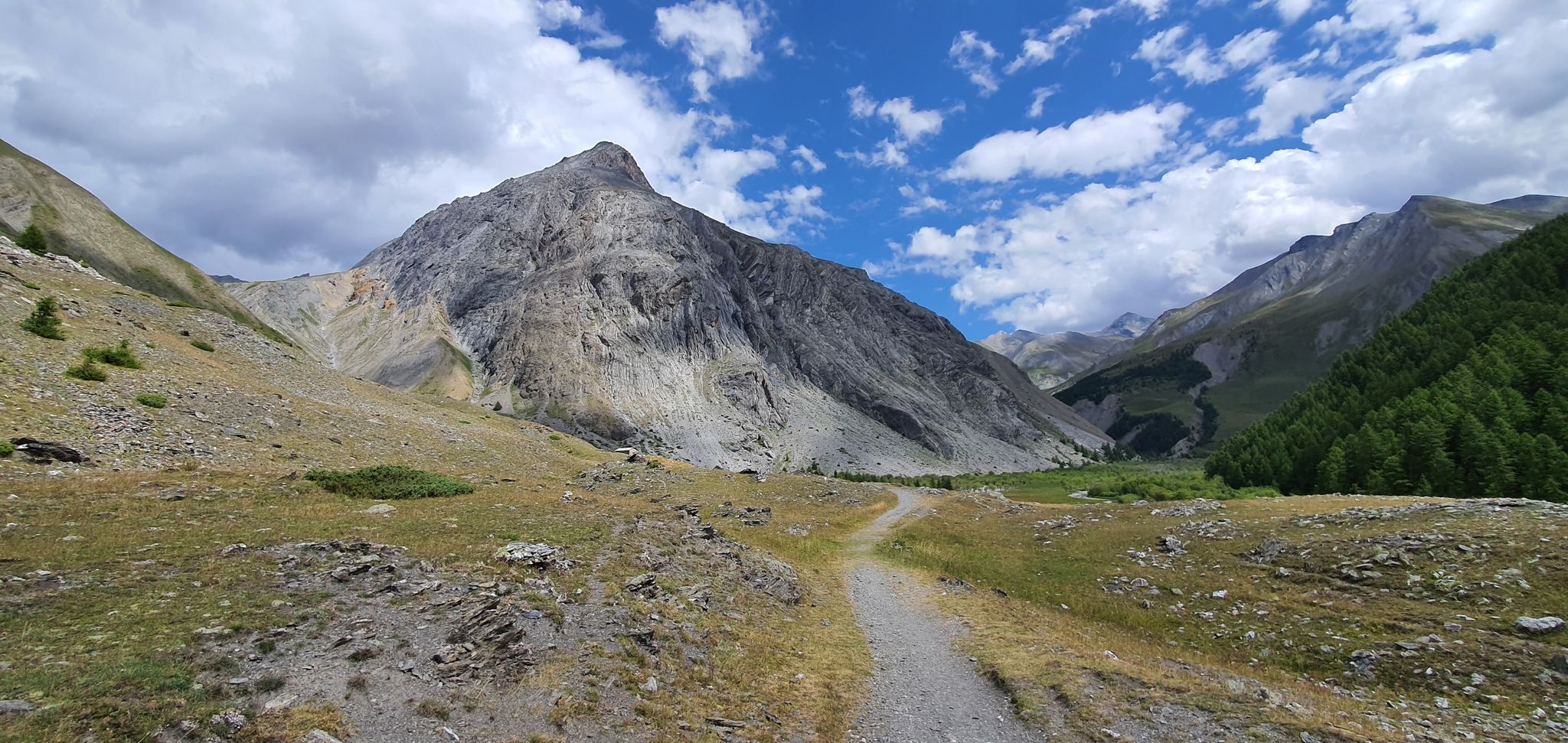
Western trans-alpine crossing – pure adventure on your mountain bike
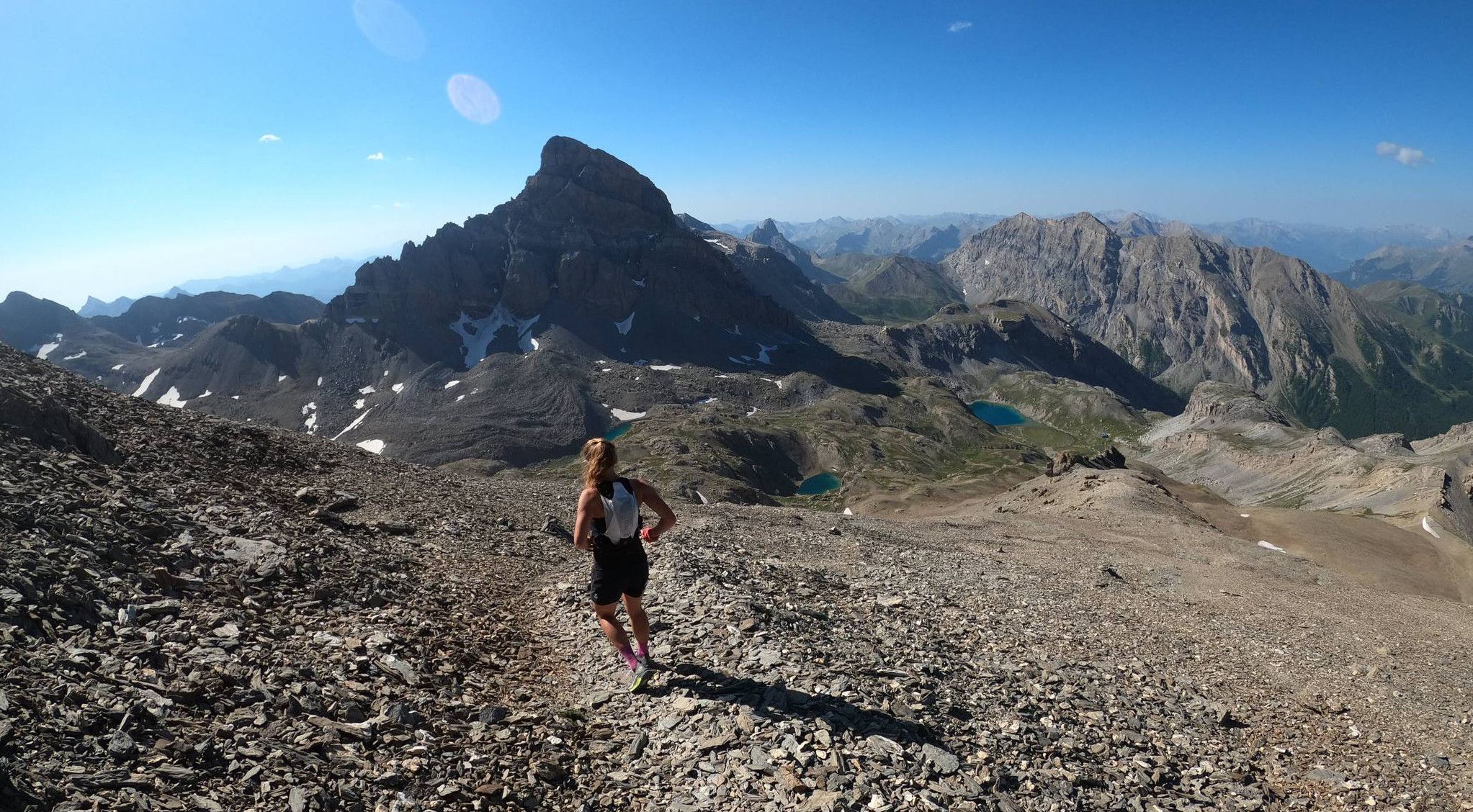
Trail running in the mountain peaks from Barcelonnette
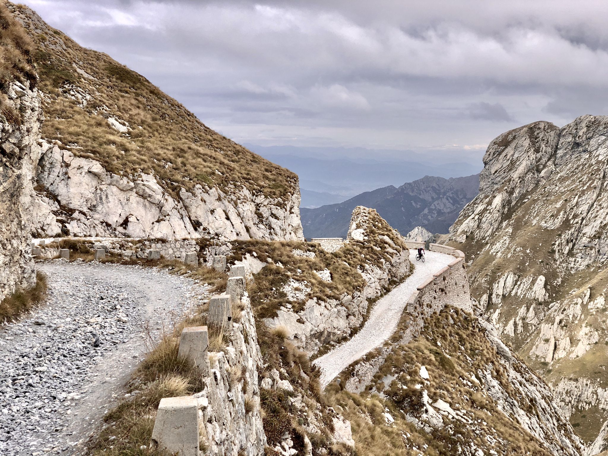
Rough and tough – spectacular gravel loops in the Alps

Hike from Saint-Étienne-de-Tinée to Briançon – Europe Trail (GR 5)

Mountains and marmots — France’s Ubaye trail (GR 56)

High mountain escapades — 15 peaks over 3,000m in the Alps
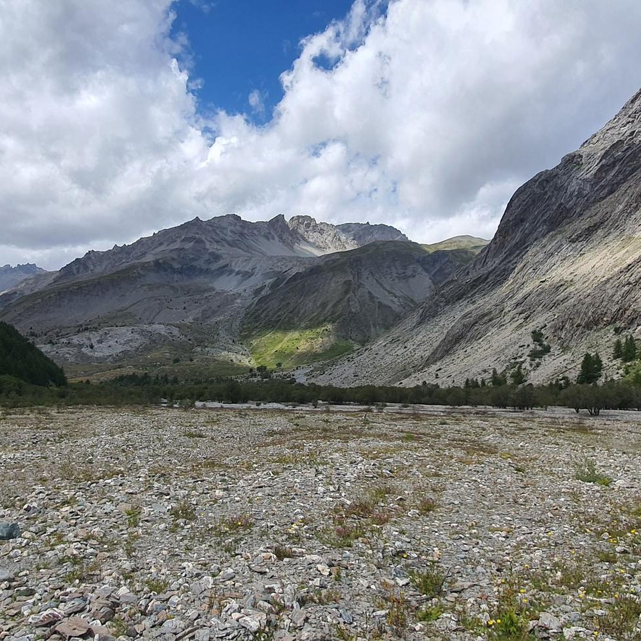
Hiking around Saint-Paul-Sur-Ubaye
Cycling around Saint-Paul-Sur-Ubaye
Road Cycling Routes around Saint-Paul-Sur-Ubaye
Running Trails around Saint-Paul-Sur-Ubaye
Other adventures around Saint-Paul-Sur-Ubaye


Tips from the Community

Warning!!! The Parpaillon Tunnel is officially closed to all through traffic due to massive damage, partial collapses, and landslides. The summit tunnel has been permanently blocked at the portals with concrete blocks, making the route over the Col du Parpaillon a dead end from both directions.
1
0

It can be reached on a good, not difficult path in about 1.40 hours, and offers an excellent view of Chiappera and the surrounding Dolomite peaks.
0
0


We also went up from Chiappera, but it's no problem for an experienced hiker. The path up to the pass is very doable, there are no exposed areas on the whole tour with great views. Highly recommended!!! 😄
1
0

Colle Greguri, at about 2350 m, offers a circular hike around Rocca Provenzale, symbol of the Maira Valley. With breathtaking views and flower-filled slopes, it offers a spectacular view of the vertical wall of Cima Provenzale.
1
0

beautiful walk in a shaded valley. To do in summer when it's hot
0
0
Tunnel is at the moment not passable. It collapsed in the middle and the portale on the side of les pras is has a lot of rocks in front of it. Wait till or if the maintance will be done.
8
0

It reaches above 2000 m. Views are wonderful.
20
0
Frequently Asked Questions
What are some of the most notable mountain passes around Saint-Paul-Sur-Ubaye?
The region around Saint-Paul-Sur-Ubaye is home to several iconic mountain passes. Among them, Col de Vars is a popular choice, known for its diverse scenery and frequent inclusion in the Tour de France. Another significant pass is Col de la Bonette, recognized as one of the highest paved passes in Europe, offering dramatic landscapes and panoramic views. Col Agnel (Colle dell'Agnello) is also a high-altitude pass forming a border between France and Italy, famous for its challenging climbs and spectacular scenery.
What kind of landscapes can I expect to see at these mountain passes?
The mountain passes around Saint-Paul-Sur-Ubaye offer a diverse range of landscapes. At Col de la Bonette, you'll find dramatic scenery including lunar-like plateaus, forests, alpine lakes, and waterfalls. Col de Vars features green mountain pastures on its northern side and a more rocky panorama to the south, with lakes dotting the summit. Col Agnel transitions from dense Alpine forests to barren, rocky landscapes as you ascend, providing panoramic views of surrounding peaks.
Are there historical sites or features associated with the mountain passes?
Yes, several passes have rich historical significance. Col de la Bonette was originally a mule track developed into an imperial route by Napoleon III in 1860. Col de Vars, traversed by highway D902, is part of the historic Route des Grandes Alpes and features the Refuge Napoléon, built in the mid-19th century. The Parpaillon Tunnel is another historical marvel, constructed in the late 19th century to improve military mobility and transportation at high altitudes.
What is the best time of year to visit the mountain passes near Saint-Paul-Sur-Ubaye?
The best time to visit is generally from late May to November, when most passes are accessible by road. For instance, Col de la Bonette is typically open during this period. Summer is particularly popular for hiking and cycling at passes like Col de Vars. However, conditions can vary, and snow can often be seen near the parking area of Col Agnel even in summer. Always check local conditions before planning your trip.
What outdoor activities can I do near these mountain passes?
The mountain passes around Saint-Paul-Sur-Ubaye are excellent for various outdoor activities. You can enjoy challenging cycling routes, scenic drives, and numerous hiking opportunities. For specific routes, you can explore MTB Trails around Saint-Paul-Sur-Ubaye, Gravel biking around Saint-Paul-Sur-Ubaye, and Running Trails around Saint-Paul-Sur-Ubaye.
Are there any particularly challenging mountain passes for experienced cyclists?
Yes, the region is a favorite training ground for professional cyclists due to its altitude and challenging gradients. Col de la Bonette, with its ascent of 24 kilometers from Jausiers at an average gradient of 6.6%, and Col Agnel, known for its grueling yet spectacular rides and significantly steeper last kilometers from Ville-Vieille, are particularly challenging and popular among experienced cyclists.
Which mountain passes offer the best panoramic views?
Many passes offer breathtaking views. From the summit of Col de la Bonette, a footpath leads to 2,860 meters, providing panoramic views of surrounding peaks like Pelvoux, Viso, and the Queyras summits. Col Agnel also offers magnificent views of surrounding peaks like Monviso and the Queyras mountains, with both the French and Italian sides praised for their vistas. Colle Greguri (Greguri Pass) is another excellent viewpoint, offering beautiful views in both directions.
What is special about the <a href="https://www.komoot.com/highlight/1531979" target="_blank" rel="noopener">Parpaillon Tunnel</a>?
The Parpaillon Tunnel is a remarkable feat of engineering from the late 19th century, built at 2,648 meters to improve military mobility. It's a 466-meter long tunnel that can still have ice inside even in summer, making it a unique and challenging experience. Visitors are advised to bring lighting as it is pitch dark, and the unpaved underground can be full of puddles and pits.
What makes <a href="https://www.komoot.com/highlight/3536217" target="_blank" rel="noopener">Fromage Pass</a> worth visiting?
Fromage Pass, peaking at 2,301 meters above sea level, is an emblematic passage in Queyras. It is part of the famous GR 5 long-distance hiking trail and offers incredible, unobstructed views of the Cristillan valley to the south and the points of La Selle and Rasis to the northeast. It's appreciated for its impressive landscape.
Can I spot wildlife while visiting the mountain passes?
Yes, the diverse natural environments of these passes provide opportunities to spot wildlife. At Col de la Bonette, visitors can often spot marmots and bearded vultures amidst the dramatic landscapes. The alpine regions are generally rich in biodiversity, offering chances to encounter various mountain species.
What are the winter activities available around Saint-Paul-Sur-Ubaye?
While many mountain passes are primarily accessible in warmer months, the region does offer winter activities. The ski resort of Vars, located near Col de Vars, is popular during the winter season for skiing and other snow sports.
What do visitors enjoy most about the mountain passes around Saint-Paul-Sur-Ubaye?
Visitors frequently praise the breathtaking views, the challenging yet rewarding climbs for cyclists, and the diverse natural beauty. The sense of achievement after conquering a high-altitude pass, the tranquility of the alpine lakes, and the opportunity to connect with nature are often highlighted. The historical significance of routes like the Route des Grandes Alpes also adds to the appeal.
Most popular routes around Saint-Paul-Sur-Ubaye
Most popular attractions around Saint-Paul-Sur-Ubaye

Get inspired with the komoot mobile app


Explore more
See even more epic mountain passes by checking out these guides around Saint-Paul-Sur-Ubaye:
