The best MTB trails around Marolles-Sur-Seine
4.4
(37)
105
riders
35
rides
Mountain biking around Marolles-Sur-Seine offers a network of routes primarily following the Seine and Loing riverbanks. The terrain is characterized by a mix of open countryside, rural paths, and areas around gravel ponds. While generally flat, some routes include gentle ascents, providing varied experiences for mountain bikers.
Best mountain bike trails around Marolles-Sur-Seine
- The most popular mountain bike trail is Bord de Seine champêtre – Between the Seine and the Loing loop from Montereau, a 30.7 miles (49.4 km)…
Last updated: July 15, 2026
4.8
(6)
15
riders
25.6km
01:37
50m
50m
Easy mountain bike ride. Great for any fitness level. Suitable for all skill levels.
4.0
(4)
11
riders
50.2km
03:41
480m
480m
Moderate mountain bike ride. Good fitness required. Advanced riding skills necessary.

Sign up for free
3.5
(2)
9
riders
29.2km
01:51
50m
50m
Easy mountain bike ride. Great for any fitness level. Suitable for all skill levels.
4.0
(5)
9
riders
36.1km
02:17
60m
60m
Moderate mountain bike ride. Good fitness required. Suitable for all skill levels.
4.8
(4)
11
riders
63.2km
03:53
130m
130m
Moderate mountain bike ride. Good fitness required. Suitable for all skill levels.
Get access to more routes and recommendations from other explorers.
Sign up for free
Already have an account?
Our route recommendations are based on thousands of hikes, rides, and runs completed by other people on komoot.
Start today with a free account
Your next adventure awaits.
Login or Signup
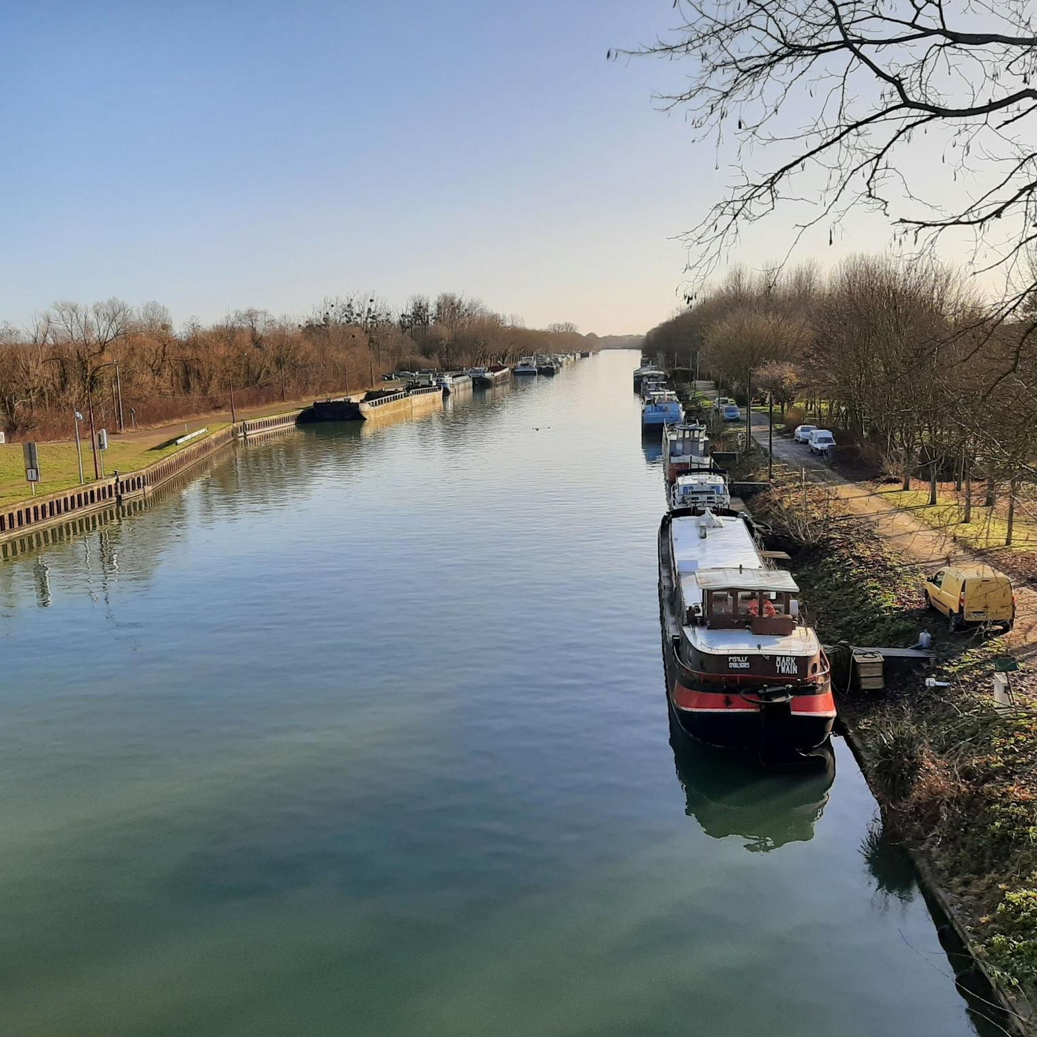
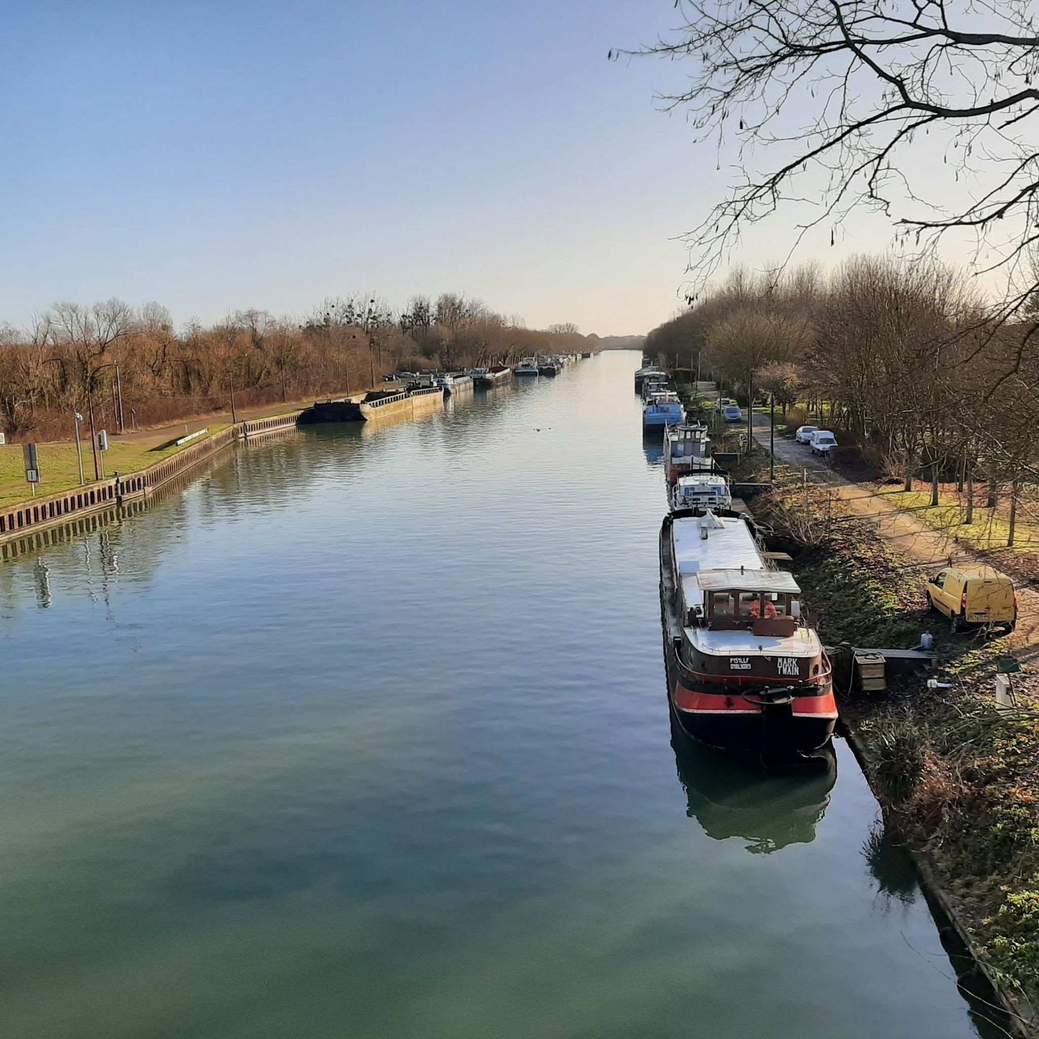
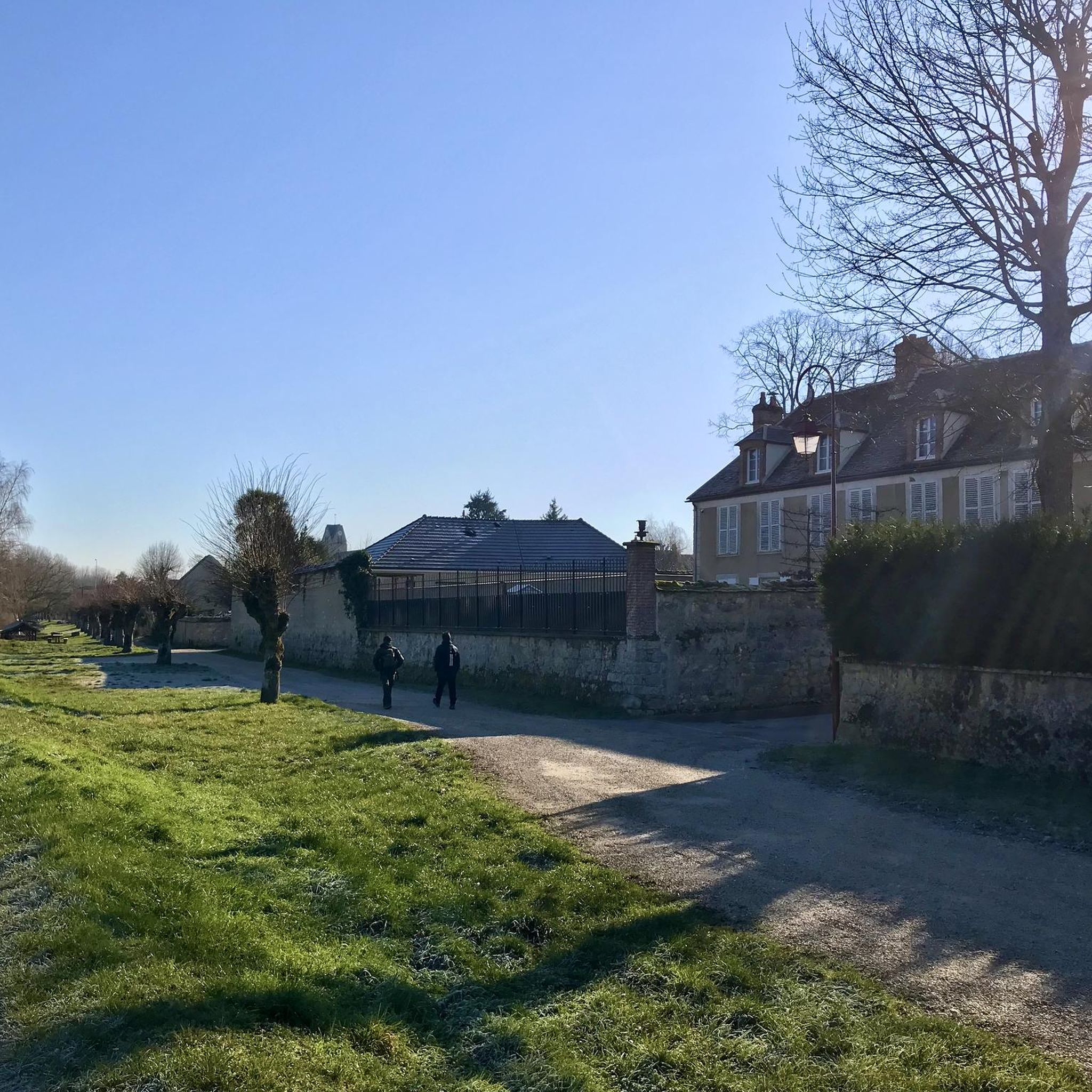

Tips from the Community

The former fortress and picturesque medieval town of Moret-sur-Loing lies on the edge of the Fontainebleau Forest and the peacefully flowing Loing River. This postcard-perfect town is indeed extremely photogenic. The most beautiful views are from the old bridge or from the right bank of the Loing.
1
0


You can also swim in the Loing River here. A lively, picturesque spot.
0
0


I replaced my gravel wheel with this wooden one...
0
0
pretty passage on the Loing
0
0

Beautiful remains. But don't worry, the new bridge is very solid.
0
0

Driving along the Quai du Loing in Saint-Mammés, you’ll have picturesque views of the tranquil river and charming town. This scenic route offers a peaceful escape from the hustle and bustle of city life. You’ll be able to admire the historic buildings, homes, and lush greenery that lines the banks.
0
0
Frequently Asked Questions
How many mountain bike trails are available around Marolles-Sur-Seine?
There are over 35 mountain bike trails around Marolles-Sur-Seine, offering a variety of experiences for different skill levels.
Are there mountain bike trails suitable for beginners or families in Marolles-Sur-Seine?
Yes, there are 8 easy mountain bike routes. A great option for a gentle ride is the Picnic area – Dam loop from Montereau, which is 18.1 miles (29.2 km) long.
Are there challenging mountain bike trails for advanced riders?
While the region is generally flat, there is one difficult route available for advanced riders. Most routes are moderate, offering varied terrain with gentle ascents.
What is the typical length and duration of mountain bike trails near Marolles-Sur-Seine?
Trail lengths vary significantly. For instance, the Bord de Seine champêtre – Between the Seine and the Loing loop from Montereau is 30.7 miles (49.4 km) and takes approximately 3 hours 38 minutes, while shorter routes are also available.
Can I find circular mountain bike routes in the area?
Yes, many routes around Marolles-Sur-Seine are circular. An example is the Sens Town Hall – Gravel pond loop from Villeneuve-la-Guyard, a 38.5-mile (61.9 km) loop that explores varied countryside.
What kind of terrain can I expect on the mountain bike trails?
The terrain primarily follows the Seine and Loing riverbanks, featuring a mix of open countryside, rural paths, and areas around gravel ponds. While generally flat, some routes include gentle ascents.
What do other mountain bikers enjoy the most about mountain biking in Marolles-Sur-Seine?
The area is highly rated by the komoot community, with an average score of 4.2 stars from over 30 reviews. Mountain bikers often praise the scenic riverbank paths and the diverse landscapes around gravel ponds.
Are there any viewpoints or scenic spots along the mountain bike trails?
Yes, you can find scenic spots. The Breathtaking view of the Seine is a notable highlight that offers picturesque vistas of the river.
What are some interesting landmarks or places to explore near the mountain bike routes?
Beyond the trails, you can explore cultural highlights such as Flagy, a village of character, or the Medieval Village of Donnemarie-Dontilly. There are also historic churches like the Saint-Martin Church of Misy-sur-Yonne.
Is there a specific trail that offers a good mix of scenery and moderate challenge?
The Château de Misy – Breathtaking view of the Seine loop from Villeneuve-la-Guyard is a moderate 23.7-mile (38.1 km) route that combines historical interest with scenic river views.
What is a good alternative route if I've already ridden the most popular trails?
Consider the Breathtaking view of the Seine – Château de Misy loop from Forges. This 19.6-mile (31.5 km) moderate trail offers a different perspective of the river and local landmarks.
Most popular routes around Marolles-Sur-Seine
Most popular attractions around Marolles-Sur-Seine

Get inspired with the komoot mobile app


Explore more
Browse the best MTB trails in other regions.
