The best walks and hikes around Marlhes
4.6
(576)
3,657
hikers
24
hikes
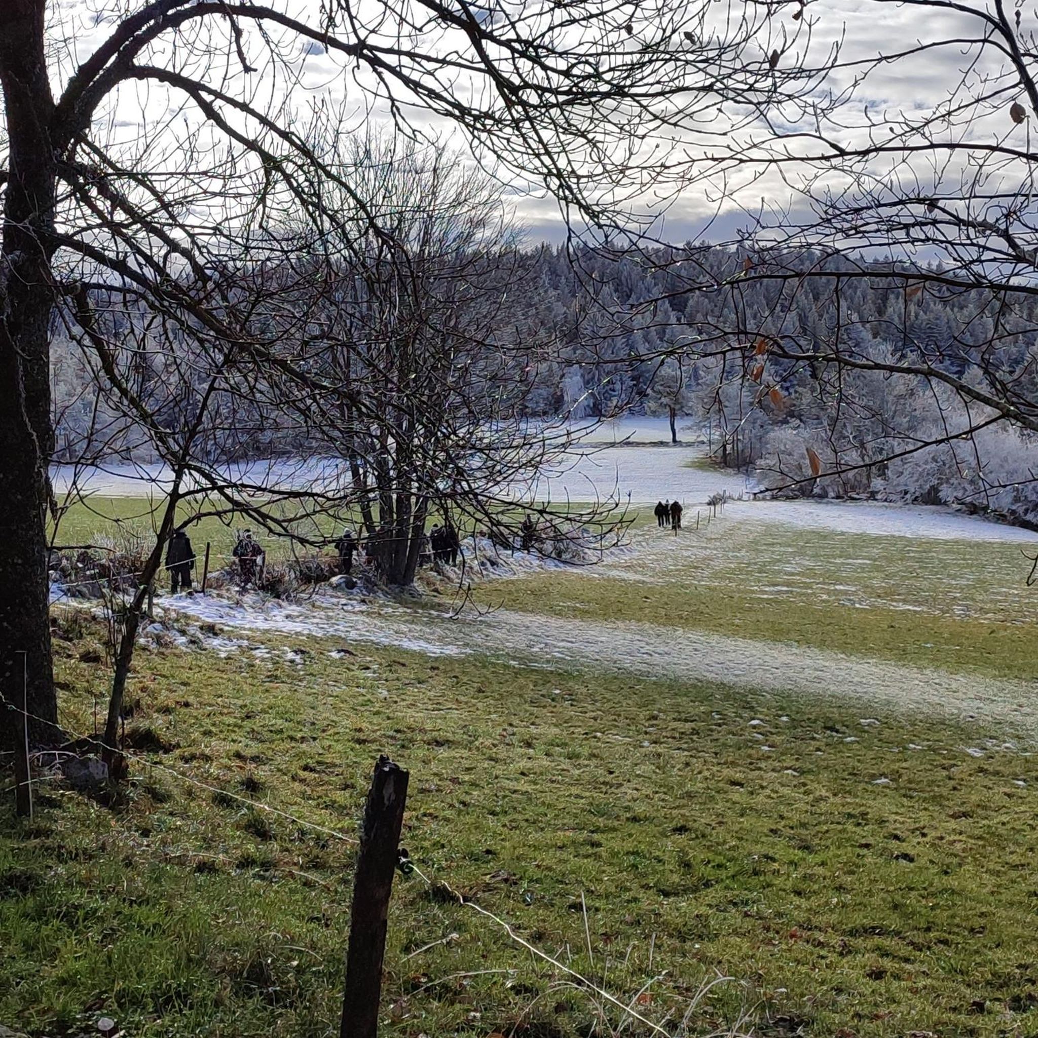
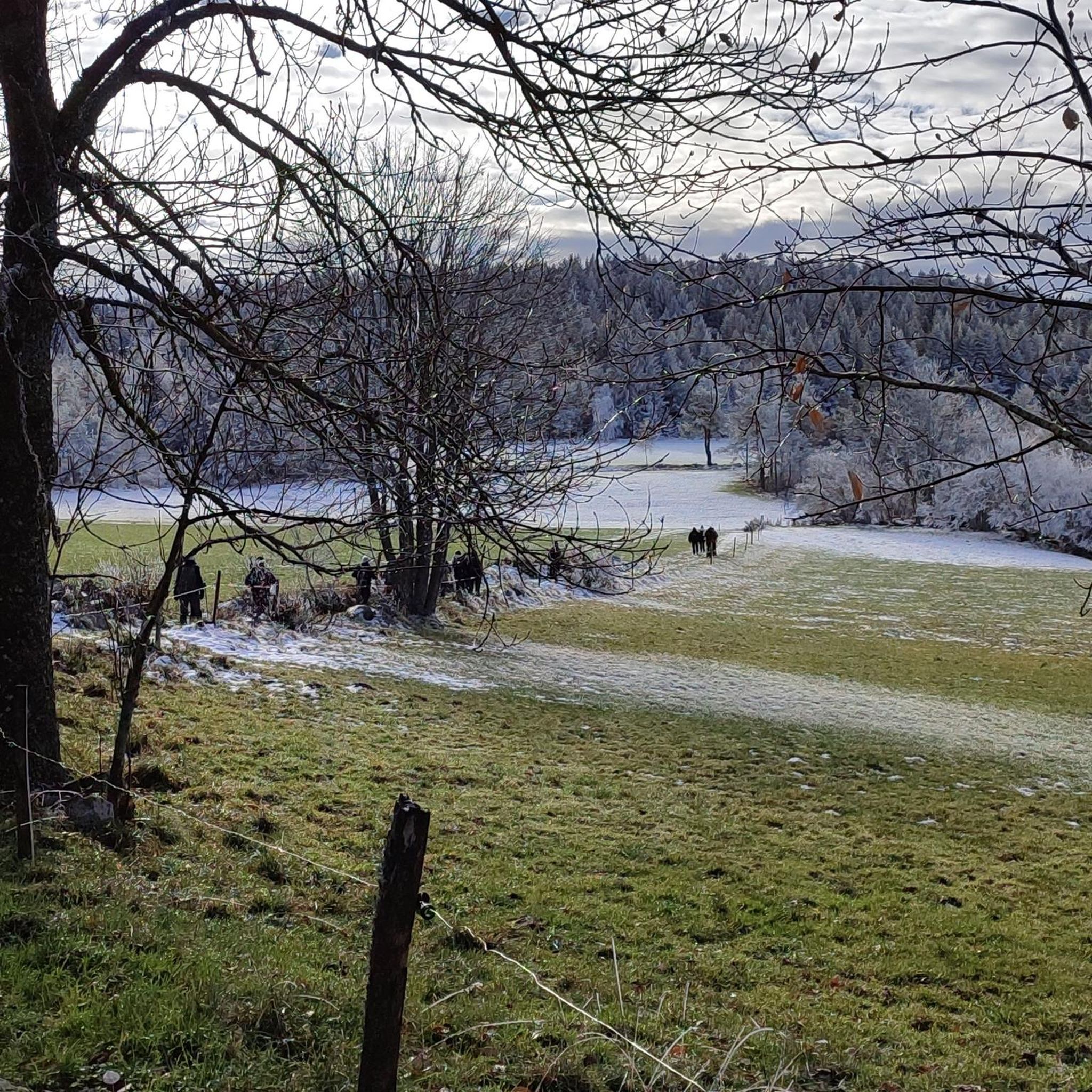
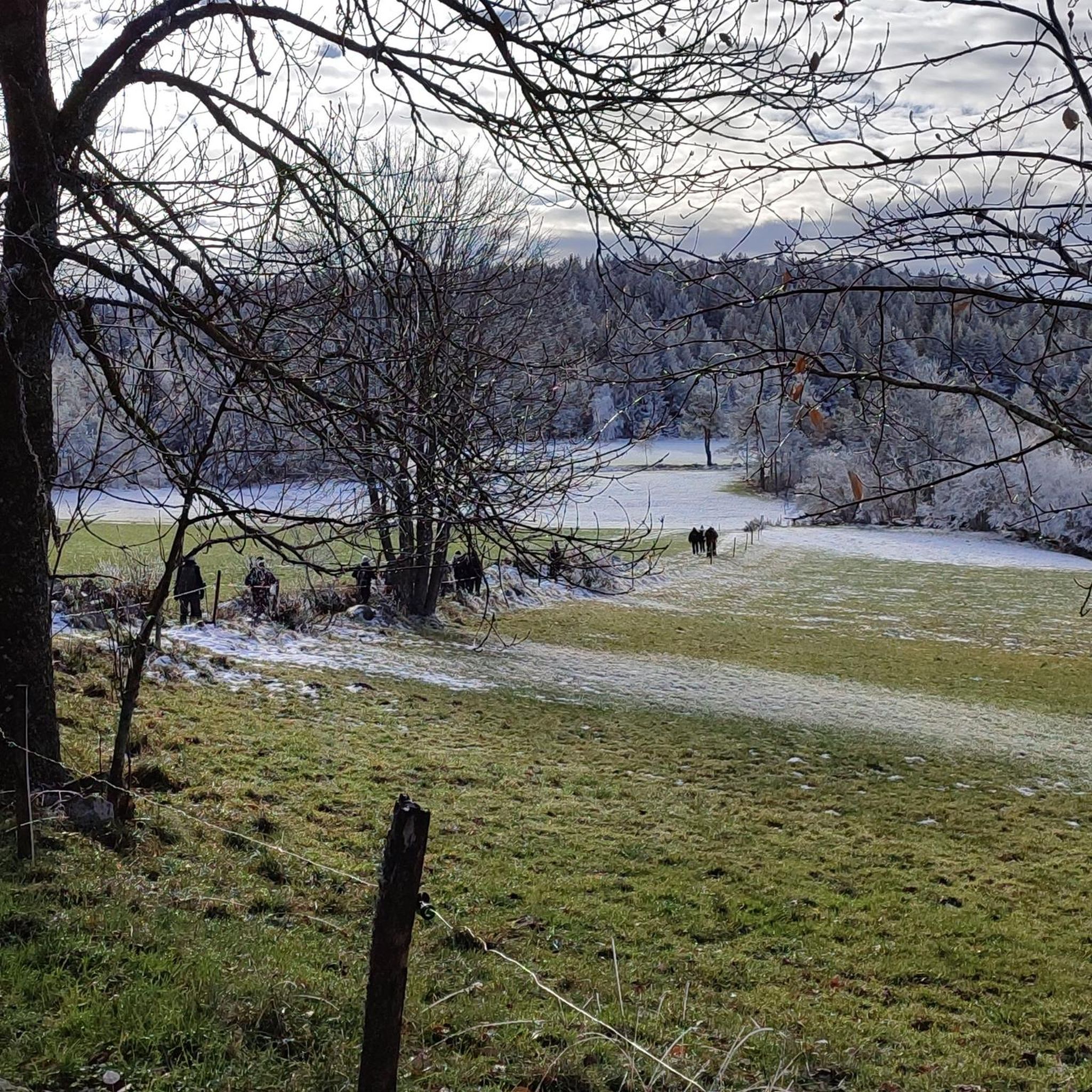
Hiking around Marlhes offers diverse landscapes within France's Loire department, part of the Auvergne Rhône-Alpes region. The area is characterized by its inclusion in the Pilat Regional Natural Park, featuring significant biodiversity, agricultural areas, wetlands, and natural meadows. Prominent features include the Crêt de Chaussître and Crêt de la Perdrix, offering expansive views, alongside historic dams and extensive forests. This varied terrain provides a range of hiking experiences.
Best hiking trails around Marlhes
- The most popular hiking route is Sapt Dam loop from Magnoloux, a 4.3 miles (6.8 km) trail that takes 1 hour 55 minutes to complete. This easy route explores the natural surroundings of the Sapt Dam.
- Another top favourite among local hikers is Crêt de Chaussître – View of Saint-Genest-Malifaux loop from Réserve biologique dirigée de Chaussitre et Gimel, an easy 3.3 miles (5.4 km) path. This route provides access to panoramic views from Crêt de Chaussître.
- Local hikers also love the Pont St Regis – Countryside walk loop from Marlhes, a 8.5 miles (13.7 km) trail leading through varied countryside, often completed in about 3 hours 57 minutes.
- Hiking around Marlhes is defined by the diverse landscapes of the Pilat Regional Natural Park, including prominent hills like Crêt de Chaussître, historic dams, and extensive forests. The network offers options for different ability levels, from easy strolls to more challenging routes.
- The routes in Marlhes are highly rated by the komoot community with an average score of 4.6 stars from over 500 reviews. More than 3000 hikers have used komoot to explore Marlhes's varied terrain.
Last updated: June 29, 2026
4.6
(38)
294
hikers
6.84km
01:55
130m
130m
Easy hike. Great for any fitness level. Easily-accessible paths. Suitable for all skill levels.
4.5
(4)
18
hikers
Easy hike. Great for any fitness level. Easily-accessible paths. Suitable for all skill levels.

Sign up for free
5.0
(1)
17
hikers
13.7km
03:57
360m
360m
Moderate hike. Good fitness required. Easily-accessible paths. Suitable for all skill levels.
4.0
(1)
10
hikers
5.43km
01:37
170m
170m
Easy hike. Great for any fitness level. Easily-accessible paths. Suitable for all skill levels.
5.0
(1)
13
hikers
Moderate hike. Good fitness required. Easily-accessible paths. Suitable for all skill levels.
Get access to more routes and recommendations from other explorers.
Sign up for free
Already have an account?
Our route recommendations are based on thousands of hikes, rides, and runs completed by other people on komoot.
Start today with a free account
Your next adventure awaits.
Login or Signup

Tips from the Community


The Sapt dam is an impressive 18-metre-high structure. Also called the Plats dam, it is located on the course of the Semène.
0
0

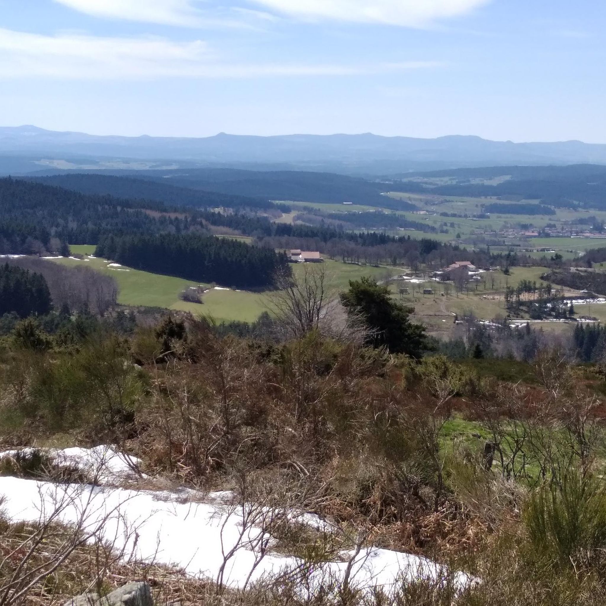
Crêt de Chaussître is located at the southern end of Pilat. It offers a beautiful panorama of the Monts du Velay, Mont Mezenc, the Yssingeaux juices and the high plateaus of Forez.
0
0

By mountain bike, the northern accesses are difficult, large stones, very technical. Access by chemin du Teil easier but steep and partly paved. My favorite access is through the east in the woods from Prélager (before arriving at the picnic area, take the small grassy path on the left which descends slightly)
0
0
Frequently Asked Questions
How many hiking trails are available around Marlhes?
There are over 20 hiking trails around Marlhes, offering a variety of experiences. These include 8 easy routes, 11 moderate routes, and 2 more challenging options, ensuring there's something for every skill level.
Are there easy hiking trails suitable for beginners or families in Marlhes?
Yes, Marlhes offers several easy hiking trails perfect for beginners or families. For example, the Sapt Dam loop from Magnoloux is an easy 6.8 km route that takes less than two hours to complete. Another great option is the Crêt de Chaussître – View of Saint-Genest-Malifaux loop, an easy 5.4 km path with panoramic views.
What kind of landscapes can I expect to see while hiking in Marlhes?
Hiking in Marlhes offers diverse landscapes within the Pilat Regional Natural Park. You'll encounter significant biodiversity, agricultural areas, wetlands, and natural meadows. Prominent features include the panoramic views from summits like Crêt de Chaussître, historic dams, and extensive forests, including beautiful larch forests.
Are there any notable natural landmarks or attractions to visit along the hiking routes?
Yes, the area around Marlhes is rich with natural landmarks. You can explore historic water bodies like the Gouffre d'Enfer Dam and the Pas-du-Riot Dam, which are surrounded by scenic trails. The Crêt de Chaussître offers breathtaking panoramic views, and you might also encounter the Chaubouret Cross or a picturesque bridge and waterfall.
Can I find circular hiking routes in the Marlhes area?
Yes, many of the hiking routes around Marlhes are circular, allowing you to start and end at the same point. Examples include the Sapt Dam loop from Magnoloux and the Pont St Regis – Countryside walk loop from Marlhes, which is a longer option for those seeking a more extensive circular hike.
What are the best viewpoints or panoramic spots in Marlhes for hikers?
For stunning panoramic views, head to Crêt de Chaussître. From here, you can see the Monts du Velay, Mont Mezenc, and the high plateaus of Forez. The Crêt de la Perdrix, the highest point of the Pilat massif, also offers expansive vistas, including the Alps and the Rhône valley on clear days.
What do other hikers enjoy the most about hiking in Marlhes?
The hiking trails around Marlhes are highly rated by the komoot community, with an average score of 4.6 stars from over 500 reviews. Hikers often praise the diverse landscapes of the Pilat Regional Natural Park, the well-maintained paths, and the variety of routes suitable for different abilities, from easy strolls to more challenging ascents.
Are there any specific trails that feature dams or waterfalls?
Yes, the region is known for its impressive water bodies. Trails around the historic Gouffre d'Enfer Dam offer spectacular views of waterfalls and natural landscapes. The Pas-du-Riot Dam also adds to the natural scenery and can be incorporated into hikes.
Is Marlhes a good destination for stargazing after a hike?
Yes, the natural environment around Marlhes, particularly within the Pilat Regional Natural Park, allows for clear night skies. This makes it an appealing location for stargazing, offering a unique way to experience the region after a day of hiking.
Are there any cultural attractions near Marlhes that can be combined with a hike?
Absolutely. The village of Sainte-Croix-en-Jarez, recognized as one of France's 'Most Beautiful Villages,' is located less than a kilometer from Marlhes. It offers a cultural attraction within easy reach, perfect for combining with a local hike.
What is the typical duration for hikes in Marlhes?
Hiking durations in Marlhes vary significantly depending on the route's length and difficulty. Easy trails like the Sapt Dam loop can be completed in under two hours, while moderate routes such as the Pont St Regis – Countryside walk loop might take around four hours.
Most popular attractions around Marlhes

Get inspired with the komoot mobile app


Explore more
Browse the best Hikes in other regions.
