The best road cycling routes around Çaloire
4.3
(151)
3,021
riders
122
rides
Road cycling around Çaloire offers varied terrain within the Loire department of central France. The commune is situated on the western slope of the Gorges de la Loire, with elevations ranging from 421 to 772 meters, providing a naturally hilly environment. This area features a mix of challenging climbs and descents, characteristic of its position within the Saint-Étienne Métropole. The landscape includes dramatic gorges and access to natural reserves, making it suitable for road cyclists seeking diverse routes.
Best road…
Last updated: October 24, 2026
10
riders
98.6km
05:07
1,650m
1,650m
This difficult 61.3-mile road cycling loop in the Natural Reserve of the Loire Gorges offers panoramic views and significant elevation gain.
4.1
(27)
222
riders
Moderate road ride. Good fitness required. Mostly well-paved surfaces and easy to ride.

63
riders
83.0km
04:16
1,290m
1,290m
Hard road ride. Very good fitness required. Mostly well-paved surfaces and easy to ride.
5.0
(3)
32
riders
53.8km
02:40
830m
830m
Moderate road ride. Good fitness required. Mostly well-paved surfaces and easy to ride.
37
riders
73.6km
03:42
1,140m
1,140m
Hard road ride. Very good fitness required. Mostly well-paved surfaces and easy to ride.
Get access to more routes and recommendations from other explorers.
Already have an account?
Our route recommendations are based on thousands of hikes, rides, and runs completed by other people on komoot.
Start today with a free account
Your next adventure awaits.

Tips from the Community


This 110 meter long Himalayan-style footbridge is suspended above the Loire. The footbridge rests on the piers of the old bridge dating from 1892. It is reserved for pedestrians and bicycles and connects the town center to Aurec-plage labeled “Aire Respirando”.
1
1


Magnificent view of the Loire
0
0

Beautiful footbridge over the Loire.
0
0

easy to drive bridge to get to the rise on the left side of the Loire
0
0

The climb is about 4 km long with an elevation gain of 280 m. The average steepness of the climb is around 5-6% although there are maximum gradients of 11% towards the summit.
0
0
Frequently Asked Questions
What is the typical terrain like for road cycling around Çaloire?
Road cycling around Çaloire features a naturally hilly environment, with elevations ranging from 421 to 772 meters. You can expect a mix of challenging climbs and descents, characteristic of its position on the western slope of the Gorges de la Loire and within the Saint-Étienne Métropole.
Are there challenging climbs for experienced road cyclists in the Çaloire area?
Yes, the region around Çaloire offers significant elevation gain, making it ideal for experienced cyclists seeking challenging climbs. Routes like the Natural reserve of the Loire gorges — loop, for example, involve over 1600 meters of ascent over its 98.6 km distance.
Are there any easier road cycling routes suitable for beginners around Çaloire?
While many routes in the Çaloire area are moderate to difficult, there are a few easier options available. The komoot community has identified 2 easy routes out of over 100 total road cycling tours in the region, offering less demanding terrain for those new to road cycling or looking for a more relaxed ride.
What scenic viewpoints or landmarks can I expect to see on road cycling routes near Çaloire?
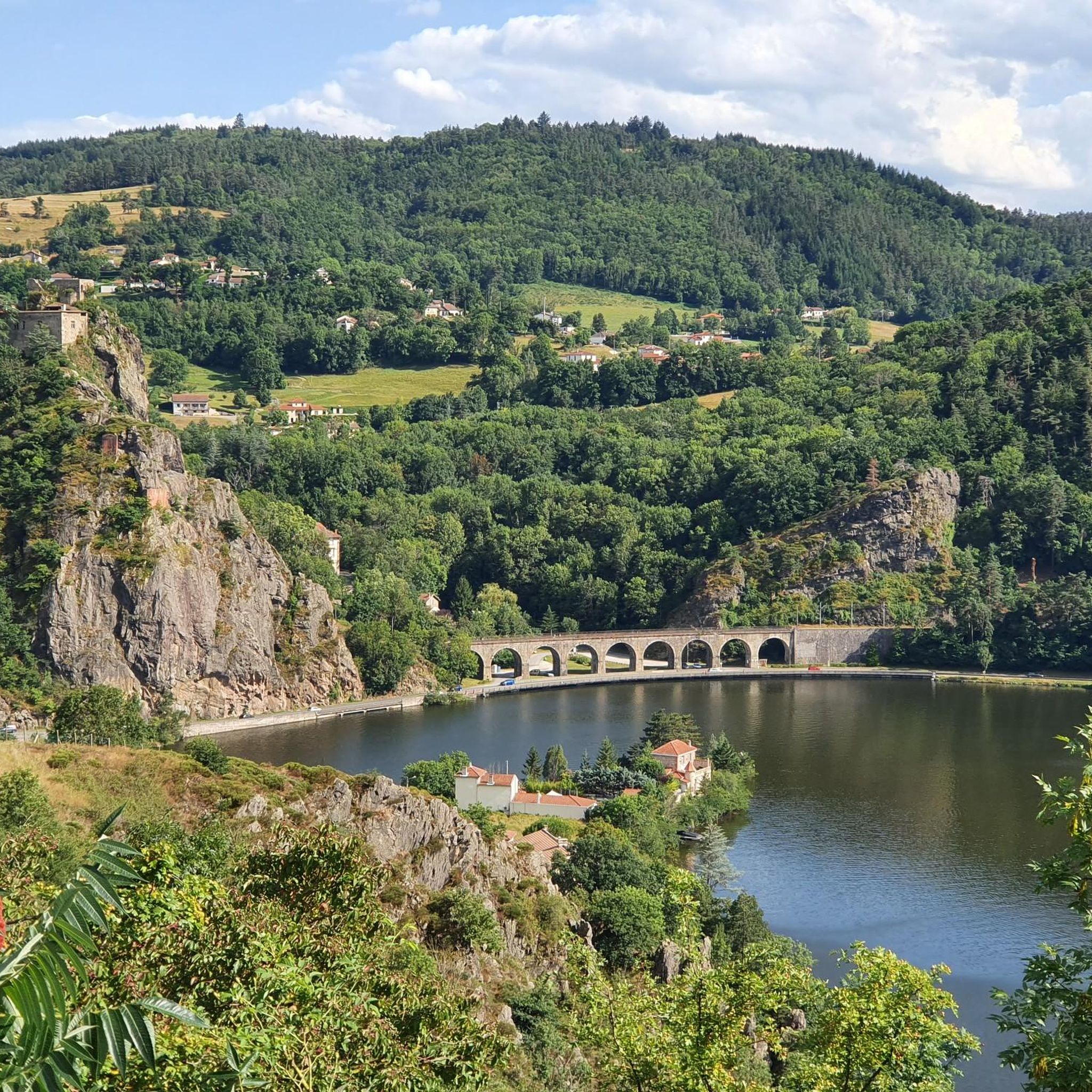
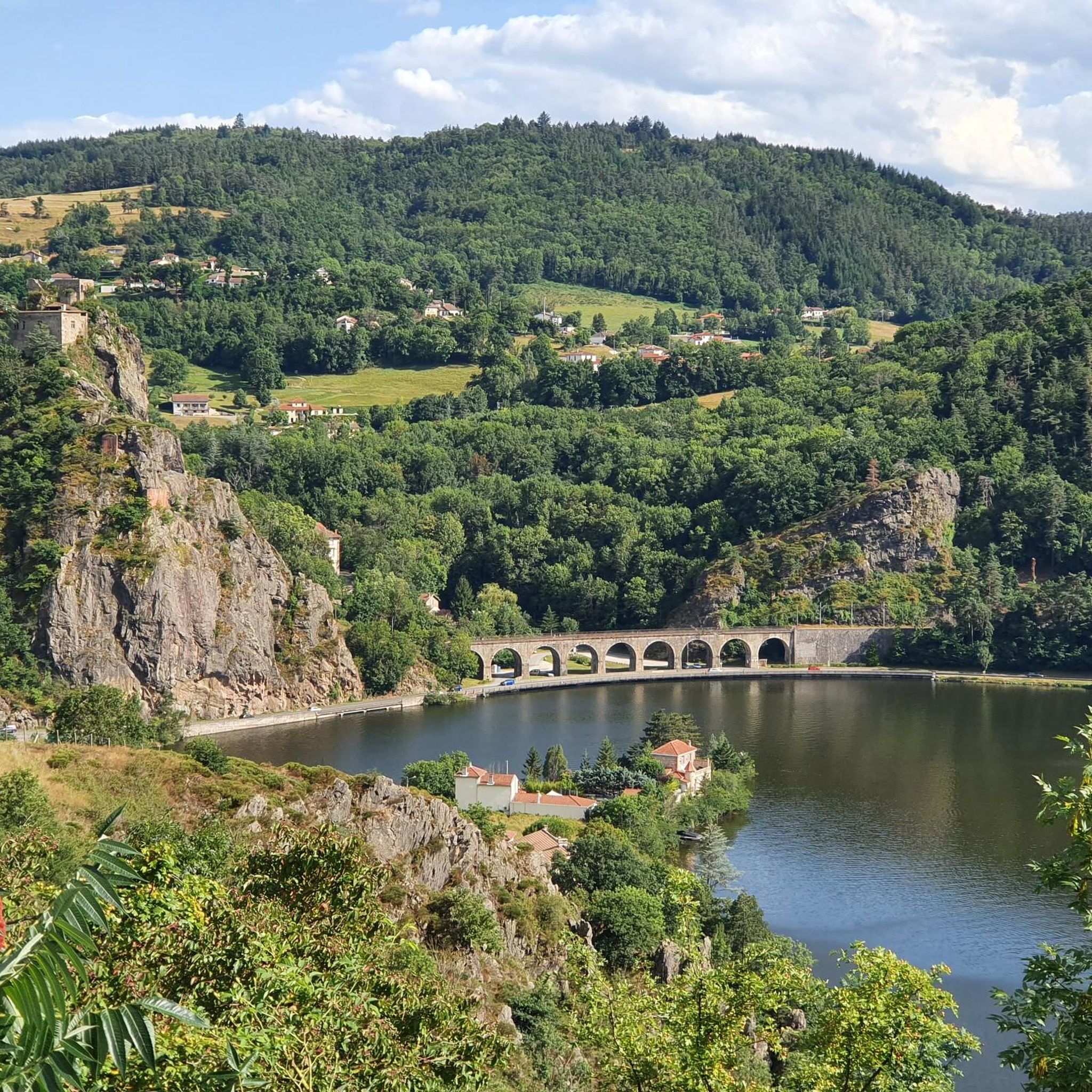
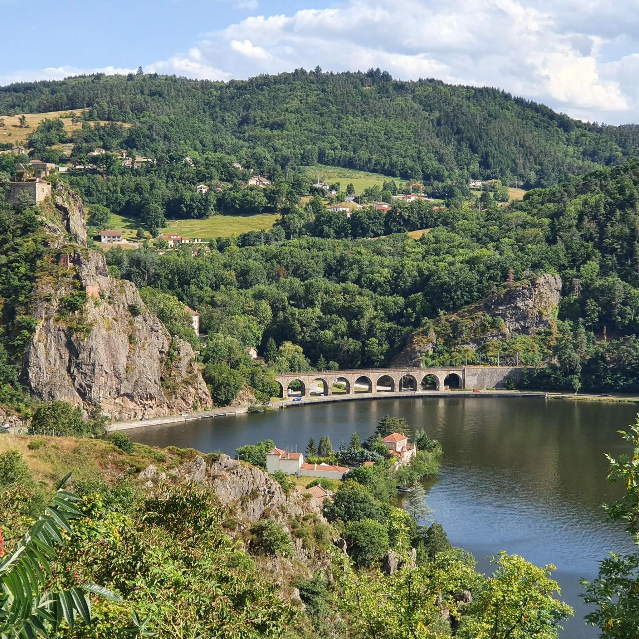
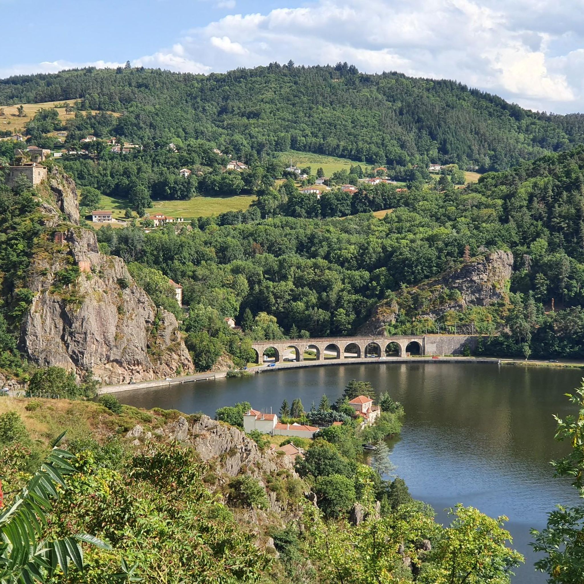
Road cycling routes near Çaloire offer breathtaking views of the Gorges de la Loire. You can also encounter landmarks such as the Grangent Dam and the picturesque Château de Grangent, which emerges from a small island. The Aurec-sur-Loire Himalayan footbridge is another unique attraction nearby, open to cyclists and offering spectacular views over the Loire River.
Can I find circular road cycling routes around Çaloire?
Yes, many of the road cycling routes around Çaloire are designed as loops, allowing you to start and finish at the same point. Examples include the Natural reserve of the Loire gorges — loop and the View of the Gorges de la Loire – View of the Pont d'Aurec loop from Fraisses - Unieux.
Are there options for longer distance road cycling tours from Çaloire?
Absolutely. For those looking for longer rides, routes like the Lavoûte-sur-Loire Bridge – View of the Pont d'Aurec loop from Aurec cover over 116 kilometers, typically taking around 5 hours 28 minutes to complete. These routes explore the wider region and offer significant distances.
What do other road cyclists enjoy the most about road cycling in Çaloire?
The area is highly rated by the komoot community, with an average score of 4.2 stars from over 100 reviews. Reviewers often praise the varied terrain, the dramatic scenery of the Gorges de la Loire, and the challenging climbs that make for a rewarding cycling experience.
Is Çaloire accessible by public transport for cyclists?
Çaloire is part of the Saint-Étienne Métropole, which is actively investing in cycling infrastructure. While direct public transport options specifically for cyclists to Çaloire might be limited, the broader regional development aims to enhance accessibility for cyclists, connecting different valleys with structured cycle paths and lanes.
What is the best time of year for road cycling in Çaloire?
The region's climate generally makes spring through early autumn pleasant for road cycling. During these months, you can expect favorable weather conditions to enjoy the hilly terrain and scenic views without the extremes of winter or the peak heat of mid-summer.
Are there any specific natural reserves or protected areas cyclists can explore?
Yes, part of Çaloire's territory is classified as a 'Natura 2000' site, indicating its ecological importance. Additionally, its proximity to the Pilat Regional Natural Park means access to routes through diverse natural reserves, offering a chance to discover a grandiose natural landscape while cycling.
Are there any castles or historical sites to visit near the cycling routes?
Yes, several historical sites are accessible from the cycling routes. You can find castles such as Essalois Castle and the Château de Saint-Victor-sur-Loire. The Tour de Chambles also offers panoramic views over the gorges.
How many road cycling routes are available around Çaloire?
There are over 100 road cycling routes available around Çaloire, catering to various skill levels. These include 2 easy routes, 45 moderate routes, and 54 difficult routes, ensuring options for every type of road cyclist.
Most popular attractions around Çaloire

Get inspired with the komoot mobile app


Explore more
Browse the best Road cycling routes in other regions.
