The best walks and hikes around Saint-Flour-De-Mercoire
4.5
(394)
3,233
hikers
108
hikes
Hiking around Saint-Flour-De-Mercoire offers diverse terrain within the Lozère department of the Occitanie region. The landscape features the dense Forêt de Mercoire, picturesque waterways like the Donozau and Langouyrou rivers, and the Langouyrou valley. The region also presents varied scenery including meadows, woods, and unique granite chaos formations, with views towards the Moure de la Gardille.
Best hiking trails in Saint-Flour-De-Mercoire
- The most popular hiking route is The Fairy Trail - loop - Saint-Flour-de-Mercoire, an easy 2.1 miles (3.4…
Last updated: October 16, 2026
4.9
(8)
43
hikers
3.39km
00:55
50m
40m
Easy hike. Easily walkable paths.
4.7
(66)
535
hikers
29.5km
08:12
530m
540m
Hard hike. Very good fitness required. Easily walkable paths.

4.6
(18)
169
hikers
23.6km
06:53
620m
620m
Hard hike. Very good fitness required. Easily walkable paths.
4.0
(1)
32
hikers
15.4km
04:21
330m
330m
Moderate hike. Good fitness required. Easily walkable paths.
5.0
(1)
24
hikers
12.9km
03:34
220m
220m
Moderate hike. Good fitness required. Easily walkable paths.
Get access to more routes and recommendations from other explorers.
Already have an account?
Our route recommendations are based on thousands of hikes, rides, and runs completed by other people on komoot.
Start today with a free account
Your next adventure awaits.


Tips from the Community


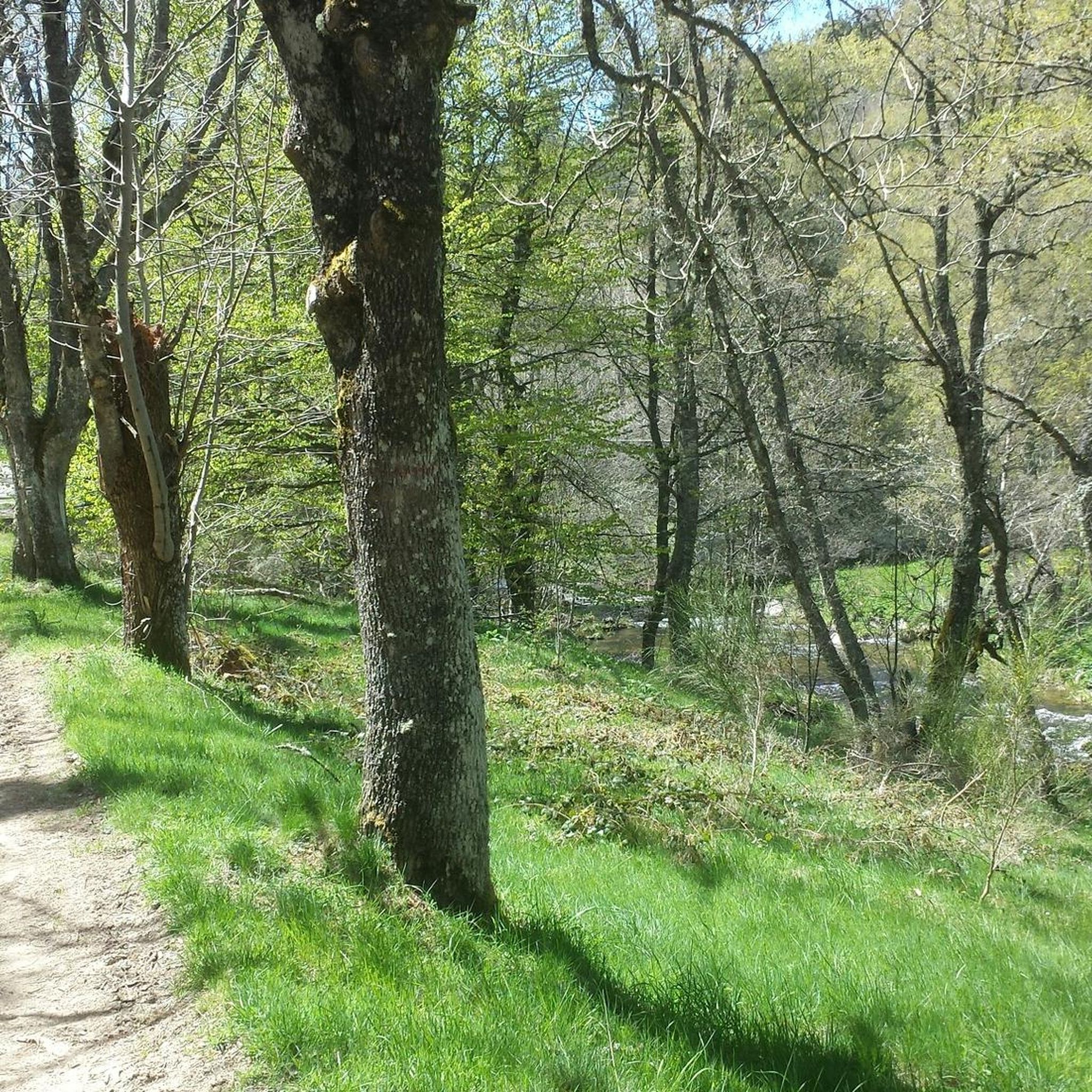
This charming rural town located in the heart of Margeride offers an ideal setting for cycling. Its cafes and restaurants allow you to stop there in the middle or end of your outing.
1
0

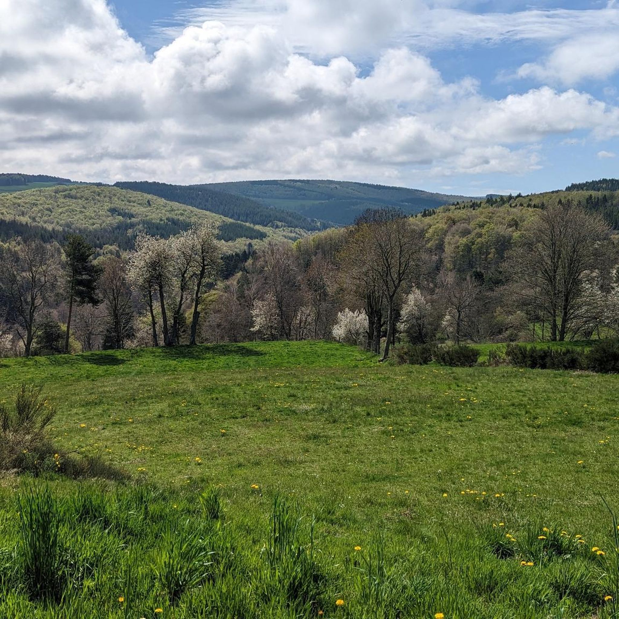
The setting here is enchanting with beautiful round hills punctuated by meadows and forests with, further on, the Langouyrou, a pretty stream.
1
0

Sitting at 920 metres (3,018 ft), Langogne is a picturesque rural commune with plentiful food and accommodation options. You can take a break in one of its numerous cafés in the old centre.
0
0

In 1978, a few friends founded an association to safeguard and enhance the Château de Luc. Its purpose is to preserve and restore these vestiges, but also to deepen their history and make it known to the public. The work carried out jointly, association and successive municipal teams allowed the restoration of the keep in 1994 with the installation of orientation tables, then that of the main building in 2008 thus allowing the organization of animations at the Castle. THE MUNICIPALITY OF LUC AND THE ASSOCIATION OF FRIENDS OF THE CHÂTEAU DE LUC INVITE VISITORS TO RESPECT THESE PLACES THAT WILL SEE OUR HISTORY.
4
0
Around 1380, during the Hundred Years War, a large troop of Englishmen and road warriors tried to seize it, but in vain. During the Wars of Religion, a garrison on foot and on horseback was installed in this fortress to defend the region. Luc's castle seems to have been dismantled around 1630, on the order of Richelieu. In 1878, a statue of Notre Dame de Luc was erected on the keep. A few months later, Robert Louis Stevenson, on his trip to the Cévennes, passed in front of the castle and stopped at Luc. The Revolution, the abolition of feudal rights, the harsh climate, the challenge of time had greatly degraded it.
4
0
LUC, from the Latin LUCUS "Sacred Wood", is one of the oldest inhabited sites in Gévaudan. In Celtic times, the promontory on which this castle stands today was a place of worship dedicated to the God Mercury who gave his name to the forest of Mercoire. From the 12th century, a fortified castle replaced the dwellings. It becomes one of the most important in the region. The first owners bear the title of Prince of Luc, Count of Luc. Enlarged over the alliances, it has kept despite its state the imposing signs of a military fortress. Guardian of the Chemin de Regordane, the pilgrimage route of Saint Gilles, a nerve center between the provinces of Gévaudan and Vivarais, it came under the bishop of Le Puy. But over the centuries, the preponderance of the Bishop of Mende was recognized and the castle passed under his suzerainty. Seat of a co-lordship with the lords Bourbal des Choisinets, Agrain des Hubacs, it successively belonged to the most illustrious families of the region.
4
0
Transit link between Vivarais, Velay and South of France, Langogne emerges from its ramparts in the 18th century century. In 1743, Dom Ambroise de Fleury, Prior of the city, made build the Hall, with its fourteen pillars, one of the most large preserved in France. It is a place for the exchange of cereals, farm products, leather, local wool, for chestnuts from the Cévennes, wines and oils from Provence, and other goods from the South and the Mediterranean.
3
0
Frequently Asked Questions
What are the typical terrain and difficulty levels for hiking in Saint-Flour-De-Mercoire?
The terrain around Saint-Flour-De-Mercoire is quite varied, ranging from the dense Forêt de Mercoire to picturesque meadows and valleys. You'll encounter paths along waterways like the Donozau and Langouyrou rivers. The region offers a good mix of difficulty levels: there are 26 easy routes, 43 moderate routes, and 26 difficult routes, ensuring options for all experience levels.
Are there easy hiking options suitable for beginners or families?
Yes, Saint-Flour-De-Mercoire has several easy hiking options perfect for beginners or families. For example, The Fairy Trail - loop - Saint-Flour-de-Mercoire is an easy 2.1-mile (3.4 km) route that takes less than an hour to complete, offering a gentle exploration near the village. Many of the 26 easy routes are suitable for a relaxed outing.
What natural features and landmarks can I expect to see while hiking?
Hikers in Saint-Flour-De-Mercoire can immerse themselves in the Forêt de Mercoire, enjoy views of the Moure de la Gardille, and explore the charming Langouyrou valley with its small cascades. The area is also defined by its rivers, the Donozau and Langouyrou. For specific landmarks, you might encounter historical sites like Luc Castle or the Besset Gate.
Are there any waterfalls in the Saint-Flour-De-Mercoire area?
Yes, the Langouyrou valley, which is traversed by several hiking routes, features charming small cascades. Additionally, the region mentions the Cascade du Donozau as a point of interest, offering opportunities to enjoy natural water features.
What is the best time of year to go hiking in Saint-Flour-De-Mercoire?
The region offers varied scenery throughout the seasons. The Forêt de Mercoire provides a refreshing canopy in summer and a vibrant spectacle of colors in autumn, making these seasons particularly appealing. Spring also brings lush greenery, while winter can offer a different, quieter experience, though some trails might be less accessible.
Are there any long-distance or challenging hikes available?
Absolutely. The renowned Robert Louis Stevenson Trail (GR 70) passes directly through the village, offering sections of this historic long-distance path. For challenging day hikes, routes like La Halle aux Grains – Langogne loop from Saint-Flour-de-Mercoire cover 17.0 miles (27.3 km) and traverse varied terrain, connecting Saint-Flour-de-Mercoire with Langogne. There are 26 difficult routes in total for experienced hikers.
What do other hikers enjoy most about hiking in Saint-Flour-De-Mercoire?
The area is highly rated by the komoot community, with an average score of 4.5 stars from over 200 reviews. Hikers often praise the diverse terrain, the quiet woodlands of the Forêt de Mercoire, and the picturesque waterways. The well-established trail networks and varied scenery throughout the seasons are also frequently highlighted.
Are there any circular hiking routes in the area?
Yes, many of the trails in Saint-Flour-De-Mercoire are designed as circular routes. For instance, Langogne commune – La Halle aux Grains loop from Saint-Flour-de-Mercoire is a moderate 15.3 km loop. The region also mentions local circuits like the 'Boucle de l'écureuil et du busard' and various forest loops near La Bastide-Puylaurent, providing ample options for circular walks.
Is Saint-Flour-De-Mercoire suitable for dog-friendly hikes?
While specific rules for dogs on trails are not detailed, the natural and rural character of Saint-Flour-De-Mercoire, with its extensive forests and open meadows, generally makes it a welcoming area for hiking with dogs. It's always advisable to keep dogs on a leash, especially near livestock or in protected natural areas, and to check local signage for any specific restrictions.
What are the options for parking when accessing trailheads?
Given the rural nature of Saint-Flour-De-Mercoire and its focus on outdoor activities, parking is generally available near trailheads and in the village centers. Specific parking information for individual routes can often be found on the detailed komoot tour pages, but you can typically expect accessible parking for most popular starting points.
Can I reach hiking trailheads using public transport?
While Saint-Flour-De-Mercoire is a rural commune, it is part of a broader region with some public transport links. The Robert Louis Stevenson Trail (GR 70) passes through the village, and long-distance trails often have connections to public transport hubs. For specific local trailheads, it's best to check regional bus services or consider carpooling, as direct public transport to every trailhead might be limited.
How many hiking trails are there in Saint-Flour-De-Mercoire?
There are over 95 hiking trails and walks available around Saint-Flour-De-Mercoire, offering a wide variety of distances and difficulty levels to explore the region's diverse landscapes.
Most popular routes around Saint-Flour-De-Mercoire
Most popular attractions around Saint-Flour-De-Mercoire

Get inspired with the komoot mobile app


Explore more
Browse the best Hikes in other regions.
