The best cycling routes around Flachères
4.4
(38)
353
riders
95
rides
Touring cycling routes around Flachères are set within the Isère department, a region characterized by diverse terrain including gentle plains, rolling hills, and significant mountain massifs like Chartreuse and Vercors. The landscape features the Isère River valley, offering routes along waterways, and includes lakes such as Lac de Paladru. Cyclists can also encounter agricultural areas with walnut orchards and vineyards.
Best touring cycling routes around Flachères
- The most popular touring cycling route is Large stone descent loop from Châteauvilain,…
Last updated: July 1, 2026
5.0
(1)
28
riders
41.5km
03:47
690m
690m
Hard bike ride. Very good fitness required. You may need to push your bike for some segments of this route.
17
riders
43.5km
04:06
700m
690m
Hard bike ride. Very good fitness required. You may need to push your bike for some segments of this route.

Sign up for free
2.0
(1)
10
riders
46.3km
03:02
580m
580m
Hard bike ride. Very good fitness required. Mostly paved surfaces. Suitable for all skill levels.
6
riders
75.6km
05:08
1,130m
1,130m
Hard bike ride. Very good fitness required. Mostly paved surfaces. Suitable for all skill levels.
4.0
(1)
5
riders
33.2km
02:05
320m
330m
Moderate bike ride. Good fitness required. Mostly paved surfaces. Suitable for all skill levels.
Get access to more routes and recommendations from other explorers.
Sign up for free
Already have an account?
Our route recommendations are based on thousands of hikes, rides, and runs completed by other people on komoot.
Start today with a free account
Your next adventure awaits.
Login or Signup
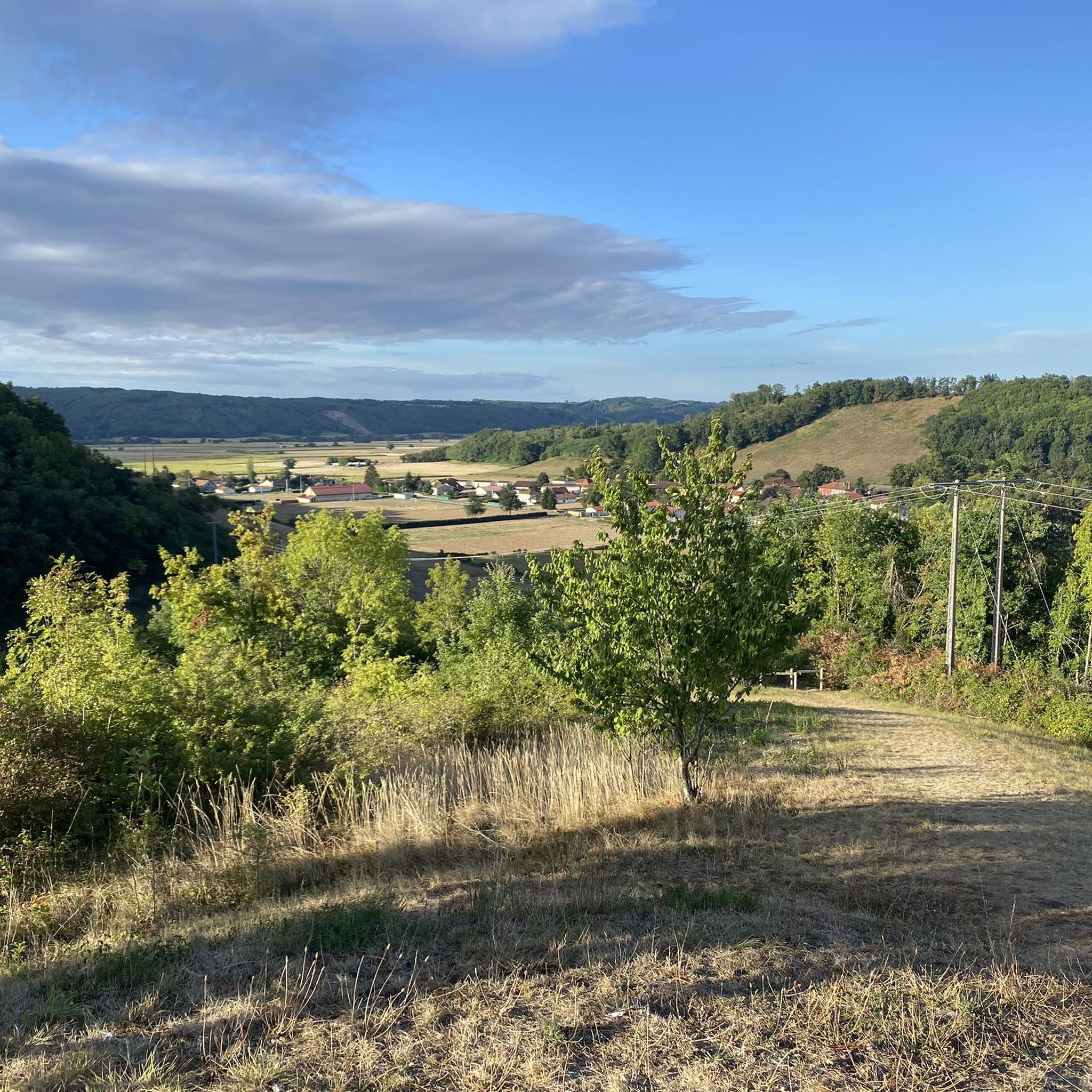
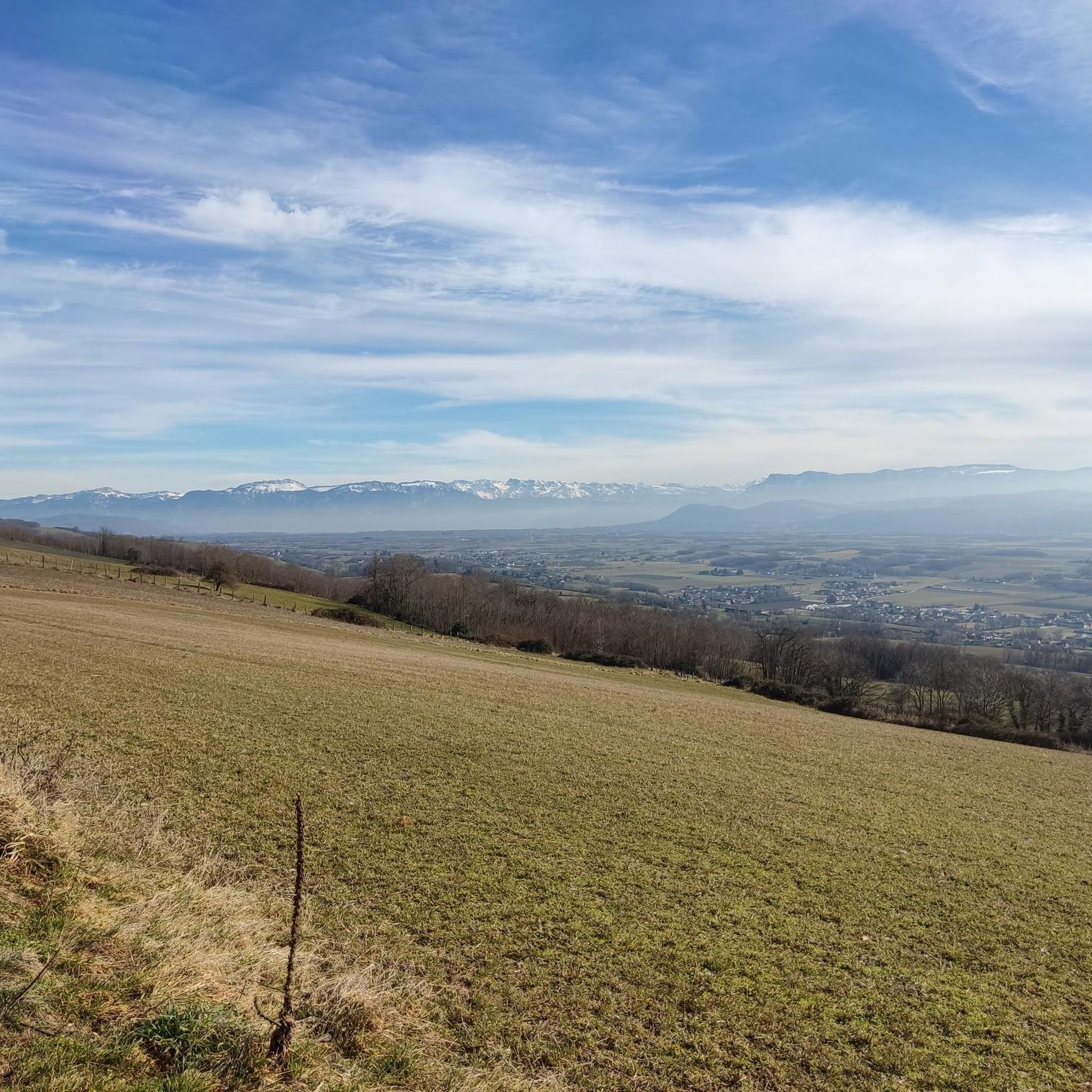
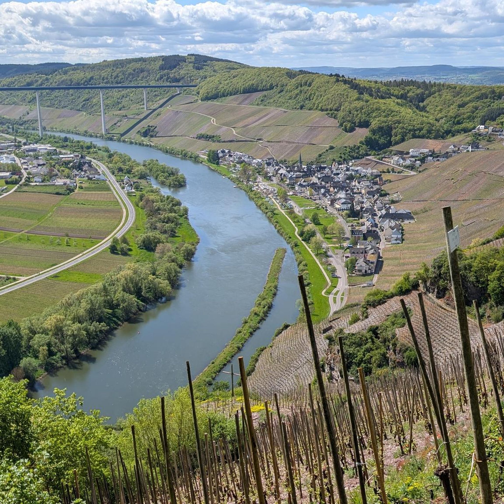

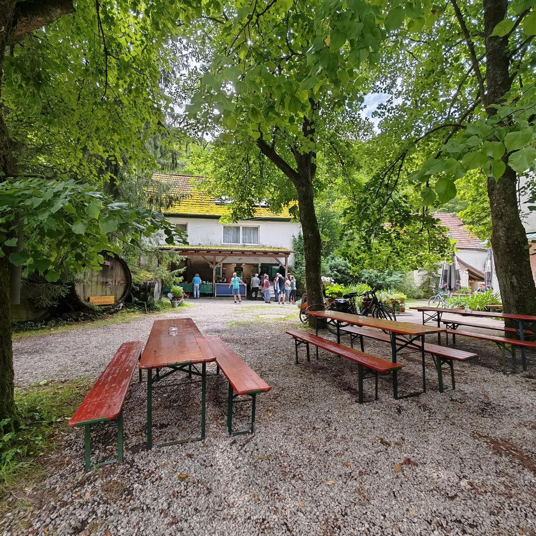
Tips from the Community

Pleasant e-bike route even in hot weather
0
0

Located at the northern end of Lake Paladru, this wetland is fed by the Courbon stream. It is a true extension of the lake, rich in biodiversity and very pleasant.
0
0

Here, you enter a sensitive natural area for a 1-kilometer trail marked with four stations to discover the area's remarkable flora and fauna. A pleasant way to connect the two shores of Lake Paladru, between Paladru and Montferrat.
1
0


The small rest area created here, with its very unusual design, invites passersby not to roll by carelessly: Behind the backrest of the bench rises a remarkable piece of craftsmanship: on one side, a flower stem bearing an unfolded blossom; and from the other, a bee flies towards it. An original idea, and rightly documented here several times with photos.
2
0

Bivouac possible with camper vans
1
0

On the eastern shore of Lac Paladru, the cycle path is perfectly developed and also easy to use for families with small children
3
0
Beautiful public bathing area, turquoise water
2
0
Frequently Asked Questions
How many touring cycling routes are available around Flachères?
There are over 90 touring cycling routes around Flachères listed on komoot, offering a wide variety of options for different skill levels and preferences.
What kind of terrain can I expect on touring cycling routes around Flachères?
The region around Flachères, within the Isère department, offers incredibly diverse terrain. You can expect gentle plains, rolling hills, and significant mountain massifs like Chartreuse and Vercors. Routes often follow the Isère River valley, providing scenic rides along waterways, and pass by agricultural areas with walnut orchards and vineyards.
Are there easy touring cycling routes suitable for beginners or families?
Yes, Flachères offers routes suitable for all abilities. There are 12 easy touring cycling routes available. For a moderate option, consider the Bike loop from Eydoche, which covers 20.3 miles (32.7 km) through varied landscapes.
What are some challenging touring cycling routes for experienced riders?
For experienced cyclists seeking a challenge, there are 38 difficult routes. One such route is the Large stone descent loop from Châteauvilain, a 25.8 miles (41.5 km) trail featuring varied terrain and a notable descent. Another challenging option is the Riverside Path View loop from Champier, a 27.0 miles (43.5 km) path with scenic views.
What natural features or scenic viewpoints can I expect to see along the routes?
The touring cycling routes around Flachères offer stunning natural beauty. You can expect views of the Chartreuse, Vercors, Belledonne, and Oisans massifs. Many routes follow the Isère River, providing ever-changing vistas. You might also encounter beautiful lakes like Lac de Paladru, and ride through picturesque walnut orchards and vineyards.
Are there any historical landmarks or attractions along the touring cycling routes?
Yes, the region is rich in history. While cycling, you might pass by historical sites such as Château Louis XI or Château de Montgontier. Other notable points of interest include Notre-Dame-du-Mont Chapel and The old market hall.
What is the best time of year for touring cycling around Flachères?
The Isère department, where Flachères is located, is excellent for cycling from spring through autumn. Summer offers opportunities to cool off in lakes like Lac de Paladru, while spring and autumn provide pleasant temperatures and beautiful scenery, especially through the orchards and vineyards.
Are there circular touring cycling routes near Flachères?
Yes, many routes are designed as loops, allowing you to start and end at the same point. Examples include the Charavines Beach – Chemin des marais loop from Mottier, a longer 46.9 miles (75.5 km) difficult route, and the Étang de la Grande Tuillère – Étang Mucillon loop from Nantoin, a 23.5 miles (37.8 km) difficult option.
Is public transport available to access touring cycling routes around Flachères?
The Isère department is bike-friendly, and many train stations serve as starting points for routes, making it convenient to access cycling trails via public transport. It's advisable to check local transport schedules for specific routes and bike carriage policies.
What do other touring cyclists enjoy most about cycling in Flachères?
The touring cycling routes around Flachères are highly rated by the komoot community, with an average score of 4.4 stars from over 40 reviews. Cyclists often praise the varied terrain, from gentle plains to challenging mountain ascents, and the scenic views along riverside paths and through diverse landscapes.
Are there any long-distance cycling routes that pass through the Flachères area?
Yes, the renowned 'La Belle Via' cycling route, a major greenway, traverses the Isère department. This route offers an immersive experience along waterways and through varying landscapes, with a significant 163 km portion in Isère. It's a fantastic option for longer touring adventures. You can find more information about La Belle Via on France Vélo Tourisme.
Are there bike-friendly facilities like rentals or cafes available in the region?
The Isère department is actively enhancing its cycling infrastructure, including e-biking facilities and online booking tools for e-bike rentals. Many routes pass through towns and villages where you can find services such as accommodation, catering, and cafes that cater to cyclists.
Most popular routes around Flachères
Most popular attractions around Flachères

Get inspired with the komoot mobile app


Explore more
Browse the best Cycling routes in other regions.
