The best running trails around Bassenberg
4.1
(62)
3,225
runners
243
runs
Jogging around Bassenberg offers a variety of routes through the region's diverse landscape. The area is characterized by rolling hills, dense forests, and scenic valleys, providing varied terrain for runners. Elevation changes are common, with some routes featuring moderate climbs and descents. The network of trails allows for exploration of both natural surroundings and local villages.
Best jogging routes around Bassenberg
- The most popular jogging route is Kreuzweg Pass – Col de Steige loop from Lalaye, a 28.3 miles…
Last updated: July 5, 2026
2.0
(1)
39
runners
45.5km
06:16
1,910m
1,910m
Hard run. Very good fitness required. Sure-footedness, sturdy shoes and alpine experience required.
11
runners
23.1km
03:01
840m
840m
Hard run. Very good fitness required. Mostly paved surfaces. Suitable for all skill levels.

Sign up for free
6
runners
7.37km
00:48
110m
110m
Moderate run. Good fitness required. Mostly paved surfaces. Suitable for all skill levels.
3.0
(1)
5
runners
8.08km
00:59
210m
210m
Moderate run. Good fitness required. Mostly paved surfaces. Suitable for all skill levels.
12
runners
6.29km
00:42
70m
70m
Moderate run. Good fitness required. Mostly paved surfaces. Suitable for all skill levels.
Get access to more routes and recommendations from other explorers.
Sign up for free
Already have an account?
Our route recommendations are based on thousands of hikes, rides, and runs completed by other people on komoot.
Start today with a free account
Your next adventure awaits.
Login or Signup
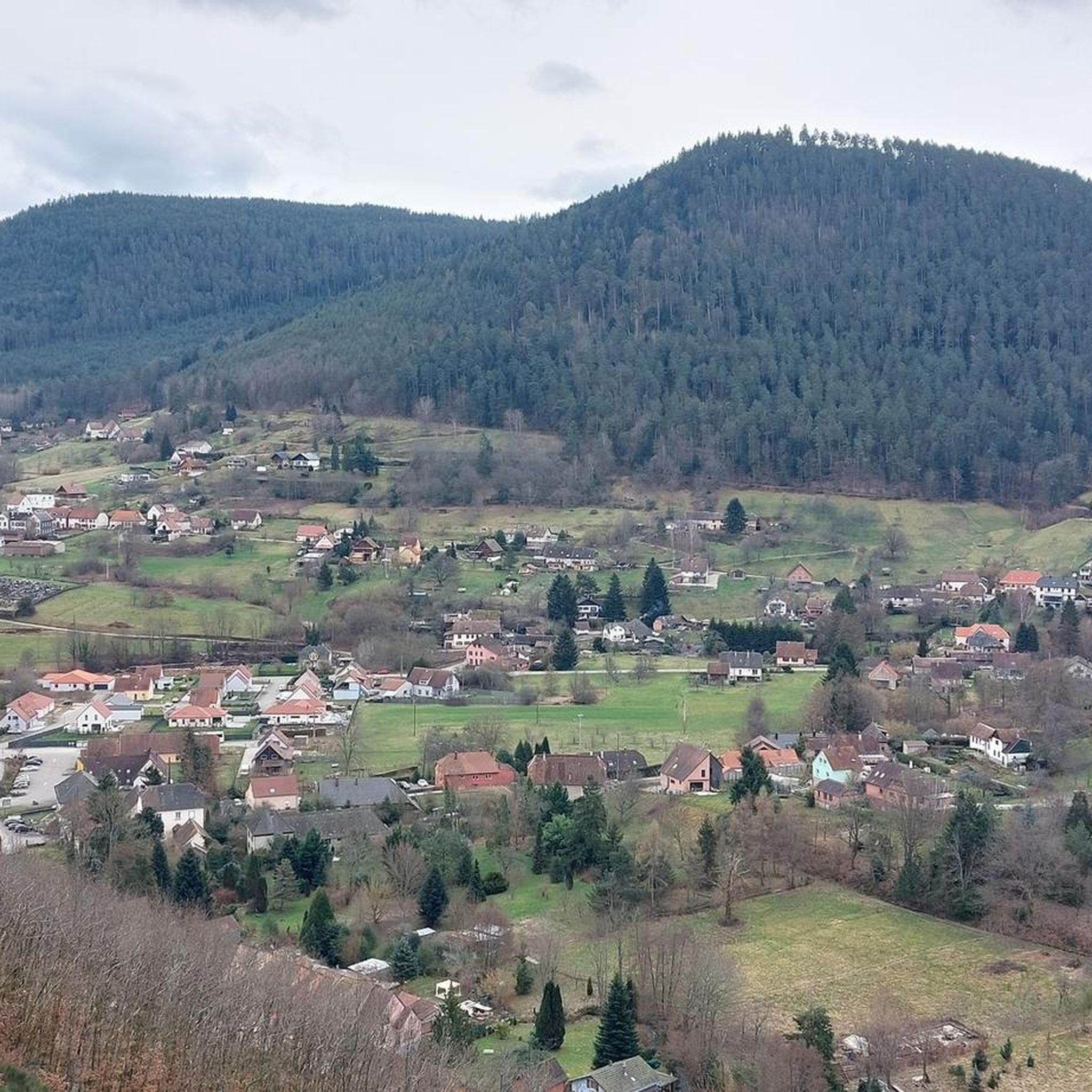
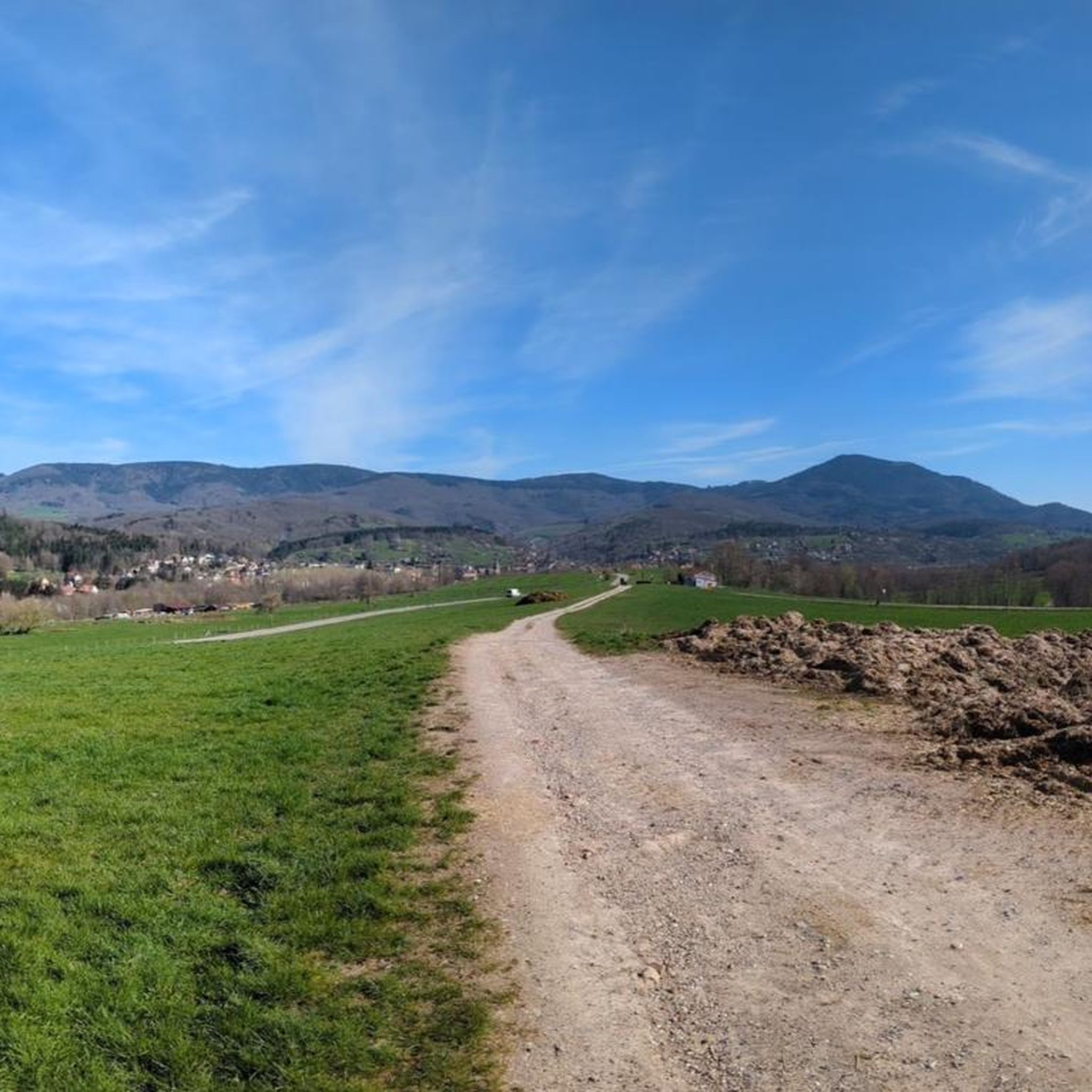
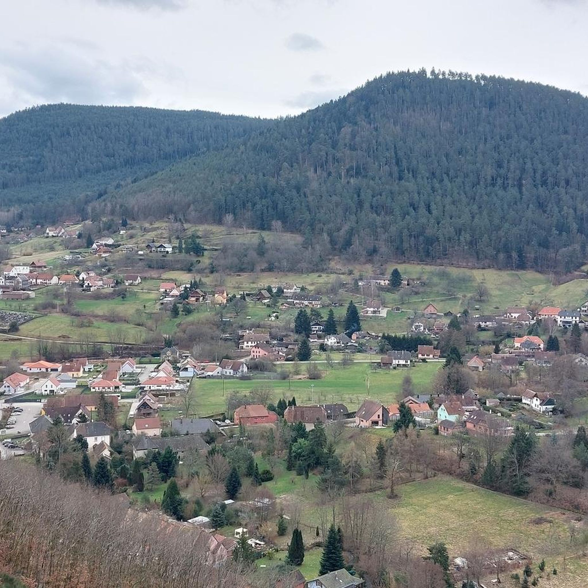
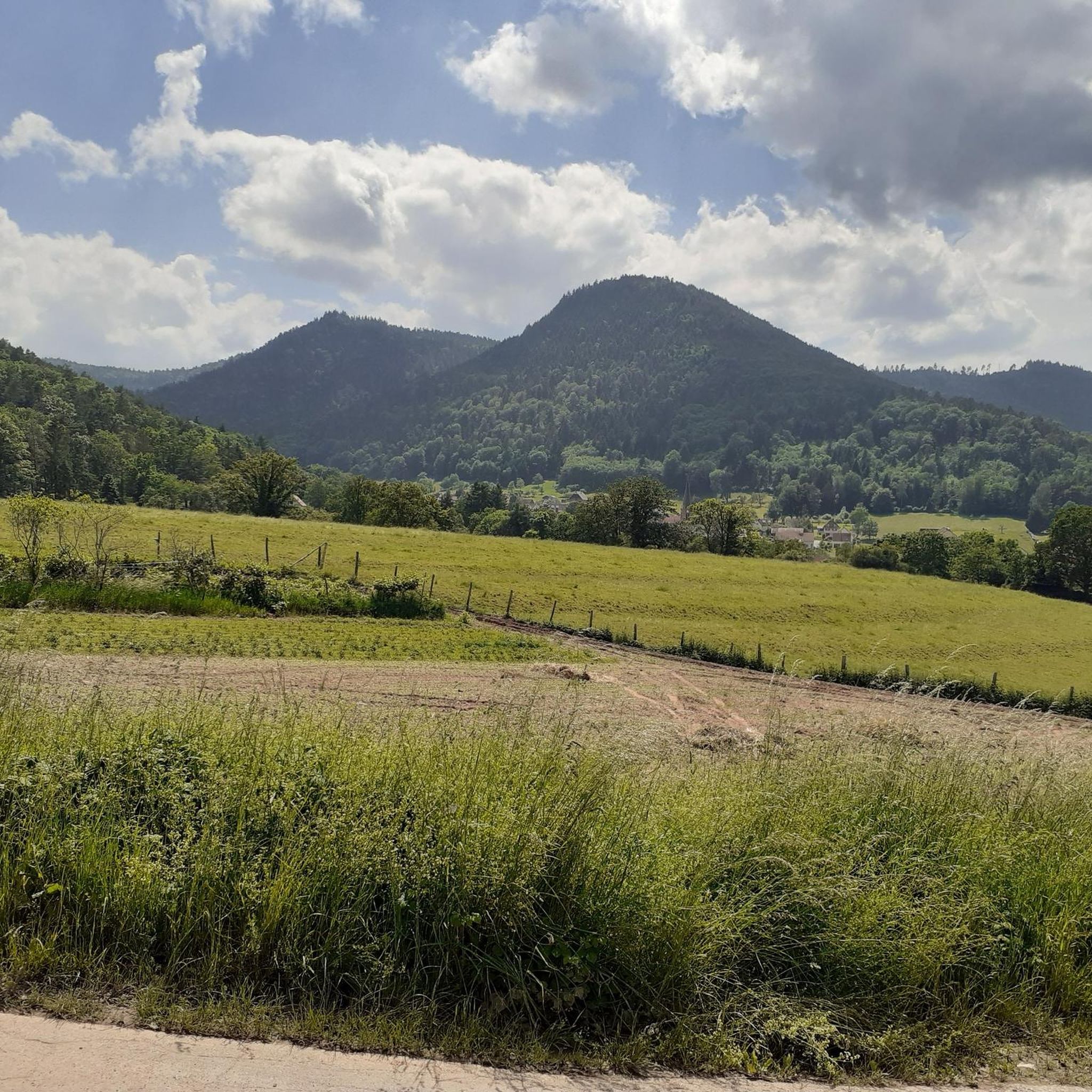

Tips from the Community


Magnificent pass to climb from different slopes (Breitenbach, Steige, Vallée de la Bruche, Andlau). It is also a crossing point towards the Champ du feu, the Hohwald, the Mont Ste Odile.
0
0

Beautiful view with a picnic table and nice flat on the top
0
0

Pass culminating at 960 m altitude.
0
0

A great view of the peaks of the Vosges and the Alsatian plain.
1
0

If you come from the Col de la Charbonnière, it is only a few meters uphill again and then you have already reached the top of the pass.
1
0

very beautiful viewpoint on an easy-to-access path
0
0
Frequently Asked Questions
How many running routes are available around Bassenberg?
There are over 200 running routes in the Bassenberg region, offering a wide variety of terrain and difficulty levels. The komoot community has explored more than 3000 of these routes.
Are there easy running routes suitable for beginners in Bassenberg?
Yes, Bassenberg offers 13 easy running routes perfect for beginners or those looking for a relaxed jog. These routes typically feature gentler terrain and shorter distances. For example, the Luttenbach loop from Bassemberg is a moderate 4.6-mile (7.4 km) trail that is often completed in under an hour.
What are the typical distances and elevation gains for running routes in Bassenberg?
Running routes in Bassenberg vary significantly. You'll find shorter loops like the Running loop from Bassemberg at 5 miles (8 km) with moderate elevation, up to challenging long-distance trails such as the Kreuzweg Pass – Col de Steige loop from Lalaye, which spans 28.3 miles (45.5 km) with significant elevation gain of over 1900 meters.
Are there challenging running trails for experienced runners in Bassenberg?
Absolutely. Bassenberg is known for its challenging terrain, with 117 difficult routes available. These often feature significant elevation changes through mountainous areas and dense forests. A prime example is the Hering Tower on Ungersberg – Great Bellevue loop from Villé, a difficult 14.4-mile (23.1 km) path offering panoramic views.
Can I bring my dog on the running trails in Bassenberg?
Many trails in the Bassenberg region are dog-friendly, allowing you to enjoy your run with your canine companion. However, it's always advisable to check local regulations or specific route details on komoot for any restrictions, especially in nature reserves or protected areas.
Are there circular running routes available around Bassenberg?
Yes, many of the running routes in Bassenberg are circular, allowing you to start and end your run at the same point without needing to retrace your steps. This is ideal for exploring the diverse landscapes, from rolling hills to scenic valleys. The Forest Chapel – Place des Charpentiers loop from Fouchy is a great example of a circular route.
What kind of scenery can I expect on the running routes in Bassenberg?
Bassenberg's running routes offer diverse and scenic landscapes. You'll encounter rolling hills, dense forests, and picturesque valleys. Many routes provide panoramic views, especially from higher elevations like those found on the Hering Tower on Ungersberg – Great Bellevue loop from Villé. You might also pass by charming local villages and historical points of interest.
Are there any interesting landmarks or attractions along the running routes?
Yes, the Bassenberg area is rich with natural and historical landmarks. You might encounter mountain passes such as Kreuzweg Pass or Col de Steige. There are also various huts and shelters like La Vieille Métairie Shelter, which can be points of interest or rest stops.
What do other runners enjoy most about jogging in Bassenberg?
The running routes in Bassenberg are highly rated by the komoot community, with an average score of 4.4 stars from over 45 reviews. Runners often praise the region's varied terrain, the beauty of its forested paths, and the scenic valley views, which provide a rewarding experience for all ability levels.
When is the best time of year to go running in Bassenberg?
The Bassenberg region is enjoyable for running throughout much of the year. Spring and autumn offer pleasant temperatures and vibrant scenery, with autumn foliage being particularly beautiful. Summer provides longer daylight hours, though some routes might be warmer. Winter running is possible, but conditions can include snow and ice, especially on higher trails, so appropriate gear and caution are advised.
Are there running routes that pass by cafes or places to get refreshments?
While specific routes with integrated cafes aren't highlighted, the region has several huts and restaurants that could serve as refreshment points. For instance, L'Ermitage Hotel & Vegan Restaurant is one such option. Many routes pass through or near local villages where you can find amenities.
How accessible are the running routes in Bassenberg by public transport?
Accessibility by public transport varies across the Bassenberg region. While some trailheads might be reachable by local bus services, many routes, especially those in more remote forested areas, may require private transport or a short walk from the nearest public transport stop. It's recommended to check specific route starting points on komoot for detailed access information.
Most popular routes around Bassenberg
Most popular attractions around Bassenberg

Get inspired with the komoot mobile app


Explore more
Browse the best Running Trails & Routes in other regions.
