The best walks and hikes around Liouc
4.4
(477)
2,644
hikers
133
hikes
Hiking around Liouc offers access to a varied landscape characterized by rolling hills, agricultural plains, and the Vidourle river valley. The region features a mix of open terrain and wooded areas, providing diverse environments for outdoor exploration. Elevation changes are generally moderate, making many routes accessible for different fitness levels.
Best hiking trails around Liouc
- The most popular hiking route is Le Pont du Hasard Loop, a 6.6 miles (10.6 km) moderate trail that takes about 3 hours to…
Last updated: July 8, 2026
4.5
(25)
135
hikers
10.6km
03:02
250m
250m
Hike the moderate 6.6-mile Le Pont du Hasard Loop, featuring a natural stone arch and panoramic views near Corconne.
4.9
(13)
87
hikers
3.24km
01:03
140m
140m
Easy hike. Great for any fitness level. Easily-accessible paths. Suitable for all skill levels.

Sign up for free
3.8
(4)
15
hikers
8.15km
02:12
100m
100m
Moderate hike. Good fitness required. Easily-accessible paths. Suitable for all skill levels.
4.0
(3)
13
hikers
26.5km
07:43
660m
660m
Hard hike. Very good fitness required. Easily-accessible paths. Suitable for all skill levels.
4.0
(1)
8
hikers
12.2km
03:35
330m
330m
Moderate hike. Good fitness required. Easily-accessible paths. Suitable for all skill levels.
Get access to more routes and recommendations from other explorers.
Sign up for free
Already have an account?
Our route recommendations are based on thousands of hikes, rides, and runs completed by other people on komoot.
Start today with a free account
Your next adventure awaits.
Login or Signup
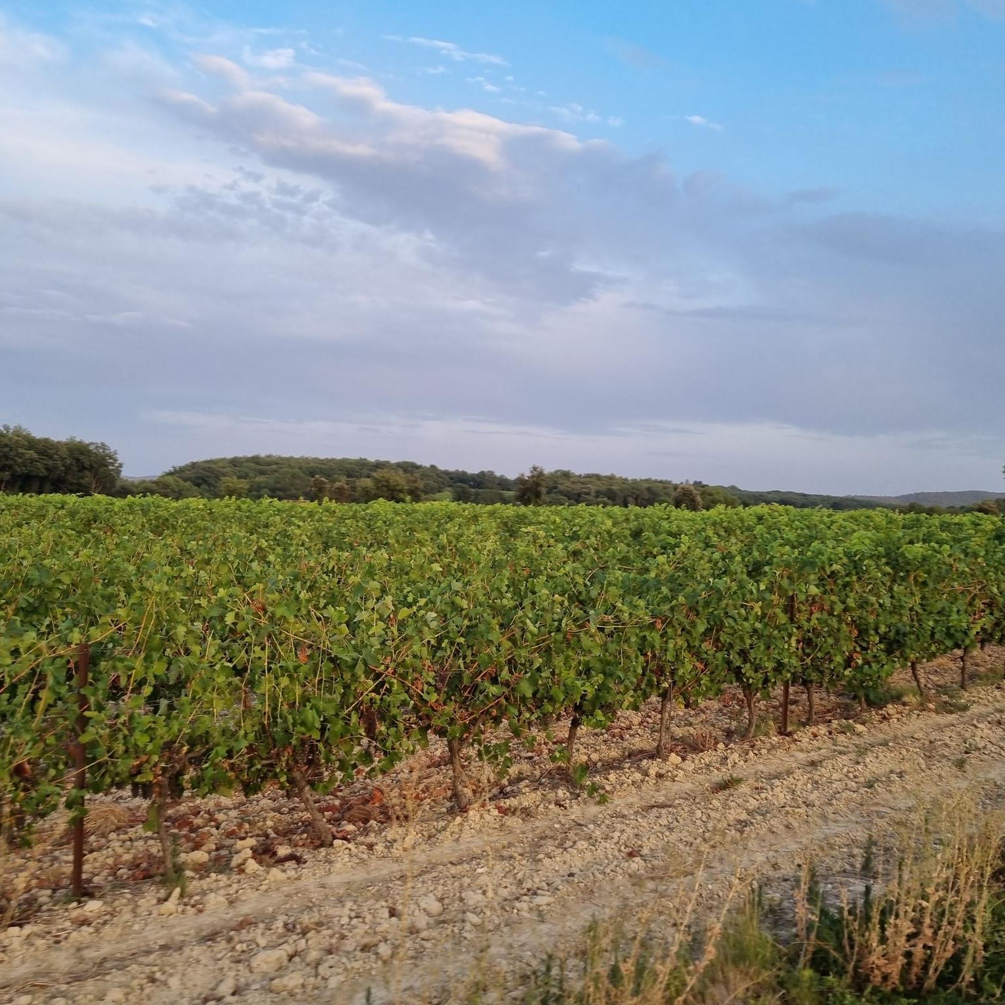
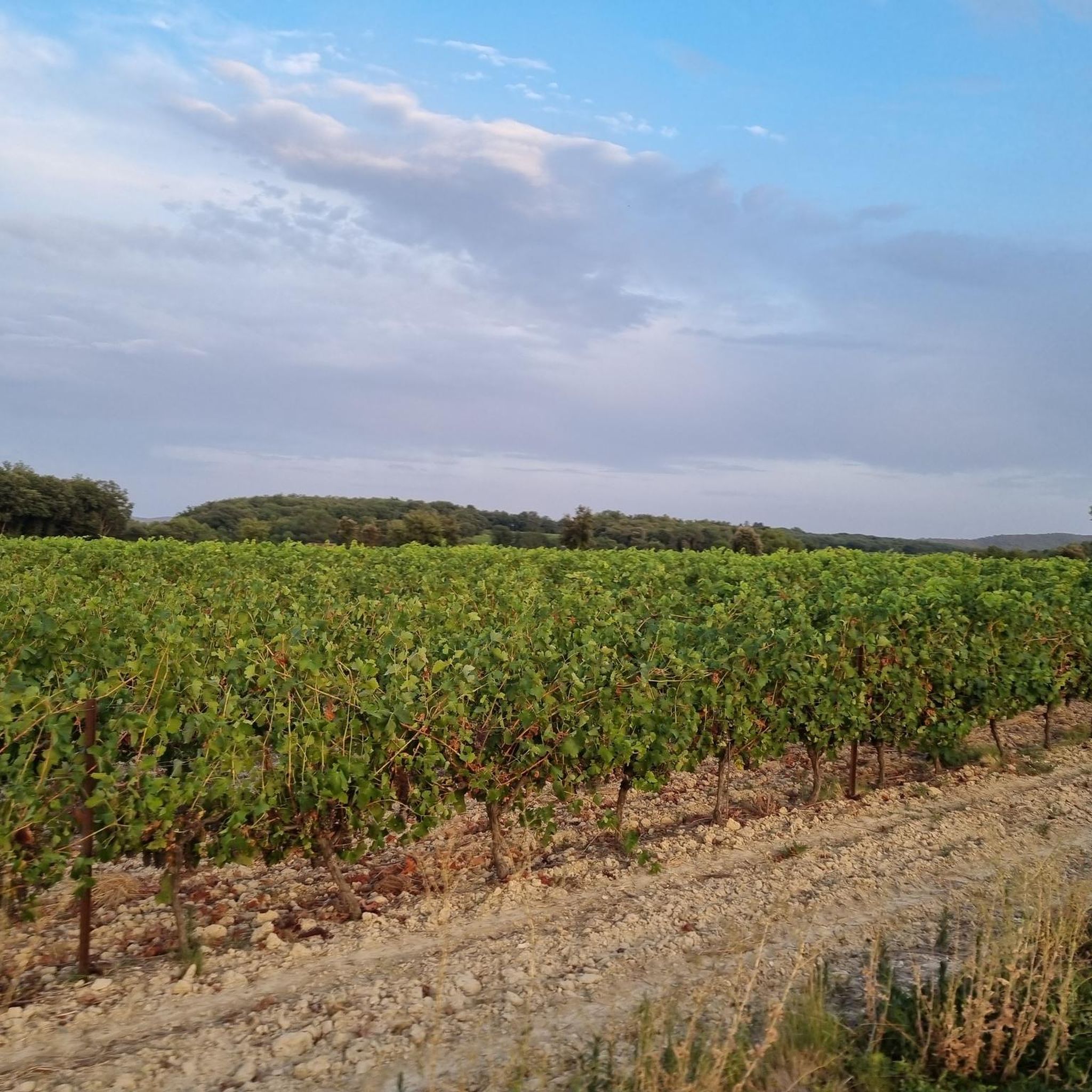

Tips from the Community

In our opinion, the path there is very difficult and by no means easy. You need to be a good walker. Not recommended for dogs. We were lucky that we were able to carry our dog.
0
0

Qissac has a lovely picturesque architecture
0
0

Many churches in France, including this chapel, are dedicated to the Virgin Mary under the widely used title "Notre-Dame" (in German: "Our Dear Lady"). A brief reflection on the Mother of God from Albino Luciani (Pope John Paul I): "Mary is truly our sister, as Saint Ambrose says. She lived a life very similar to ours. It is, of course, beautiful to venerate Mary as the Virgin and Mother of God, as the one conceived immaculately from original sin and assumed into heaven; but she is also the Madonna of plates, brooms, and cooking pots..." Visitors to this small but highly prominent Marian shrine can decide for themselves which "Notre-Dame" they wish to venerate here.
0
0
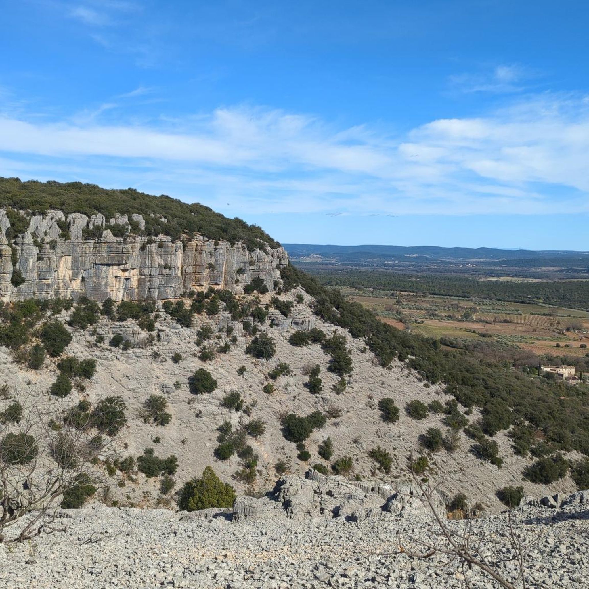
A pleasant hike in a karst landscape (for the initiated) but also imbued with a certain magic. The loop from the center of the village took us about two with a picnic among the rocks, in a place once planted with cherry trees and other fruit trees. Note the presence of an original sundial... in perfect working order! The sinkhole, at the beginning of the trail, is hardly visible because it is overgrown with vegetation. But the ruins of the castle for their part allow for beautiful photos. The trail is quite shaded regardless of the season, we did it in 28 degrees without any discomfort (but we are from the South!). However, be sure to wear proper footwear because the route is very stony!
0
0

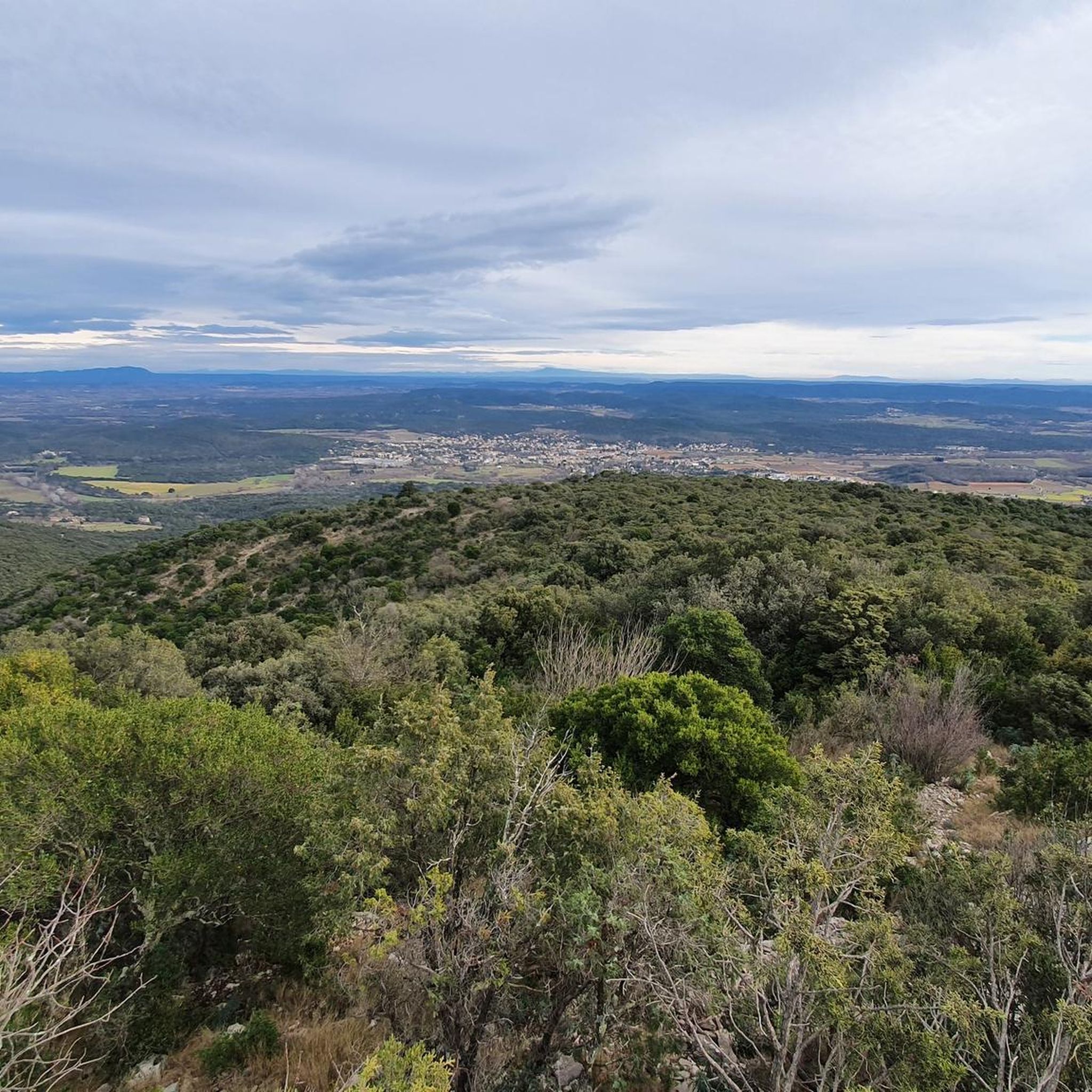
Superb viewpoint at the summit
0
0
Avoid doing the sea of rocks the day after rain, it is dangerously slippery and spoils a lot of the fun.
1
0
Charming village with old stones full of history
1
0
Be careful of particularly slippery surroundings on rainy days or after rain.
1
0
Frequently Asked Questions
How many hiking trails are available around Liouc?
There are over 120 hiking routes around Liouc, offering a diverse range of experiences. This includes 38 easy trails, 74 moderate routes, and 12 more challenging options, ensuring something for every fitness level.
Are there any easy hikes suitable for beginners or families with children near Liouc?
Yes, Liouc offers several easy trails perfect for beginners or families. One excellent option is The Bridge of Chance – Notre-Dame du Château Chapel loop from Corconne, an easy 3.2 km path that provides lovely views and local landmarks without significant elevation.
What kind of terrain can I expect on hikes around Liouc?
Hiking around Liouc features a varied landscape. You'll encounter rolling hills, open agricultural plains, and sections along the Vidourle river valley. Many routes combine open terrain with wooded areas, offering a mix of sun and shade. Elevation changes are generally moderate.
Are there any circular hiking routes in the Liouc area?
Yes, many of the trails around Liouc are circular, allowing you to start and end at the same point. For example, the popular Le Pont du Hasard Loop is a 10.6 km moderate circular trail, and Le Vidourle – Pont de Quissac loop from Quissac is another great circular option.
What natural attractions or landmarks can I see while hiking near Liouc?
The Liouc region is rich in natural and historical sites. You can explore fascinating caves like the Aven of Sauve or the Baume de Rédier. Historical sites such as the Moulins des Foux de Lauret and Roman Quarries also dot the landscape, offering points of interest along your route.
What do other hikers say about the trails in Liouc?
The trails in Liouc are highly regarded by the komoot community, with an average rating of 4.4 stars from over 400 reviews. Hikers often praise the varied terrain, the peaceful river valleys, and the well-maintained paths that cater to different ability levels.
Are there any longer, more challenging hikes around Liouc?
For those seeking a longer challenge, routes like the Le Vidourle loop from Quissac offer a moderate 12.2 km experience. Another good option is the Hiking loop from Corconne, which spans nearly 13 km and provides a good workout through the local countryside.
Is it possible to find hikes near Liouc that follow the Vidourle river?
Yes, the Vidourle river valley is a prominent feature of the Liouc landscape. You can find several routes that follow its course, such as the Le Vidourle – Pont de Quissac loop from Quissac, which leads you directly through the river valley, offering scenic views and a refreshing experience.
What is the best time of year to go hiking in Liouc?
The Liouc region is generally pleasant for hiking in spring and autumn, when temperatures are mild. Summer can be warm, so early morning or late afternoon hikes are recommended. Winter offers cooler, crisp conditions, with fewer crowds, though some paths might be muddy after rain.
Are there any viewpoints or scenic spots accessible via hiking trails?
Absolutely. The Roc du Midi Orientation Table is a notable viewpoint in the area, offering panoramic vistas of the surrounding landscape. Many trails also provide elevated sections with expansive views over the plains and river valleys.
Are the hiking trails around Liouc generally well-marked?
Based on community feedback, the trails in Liouc are generally well-marked, making navigation straightforward for most hikers. However, it's always advisable to carry a map or use a navigation app like komoot for the best experience, especially on longer routes.
Most popular attractions around Liouc

Get inspired with the komoot mobile app


Explore more
Browse the best Hikes in other regions.
