The best running trails around Longessaigne
4.5
(49)
1,960
runners
176
runs
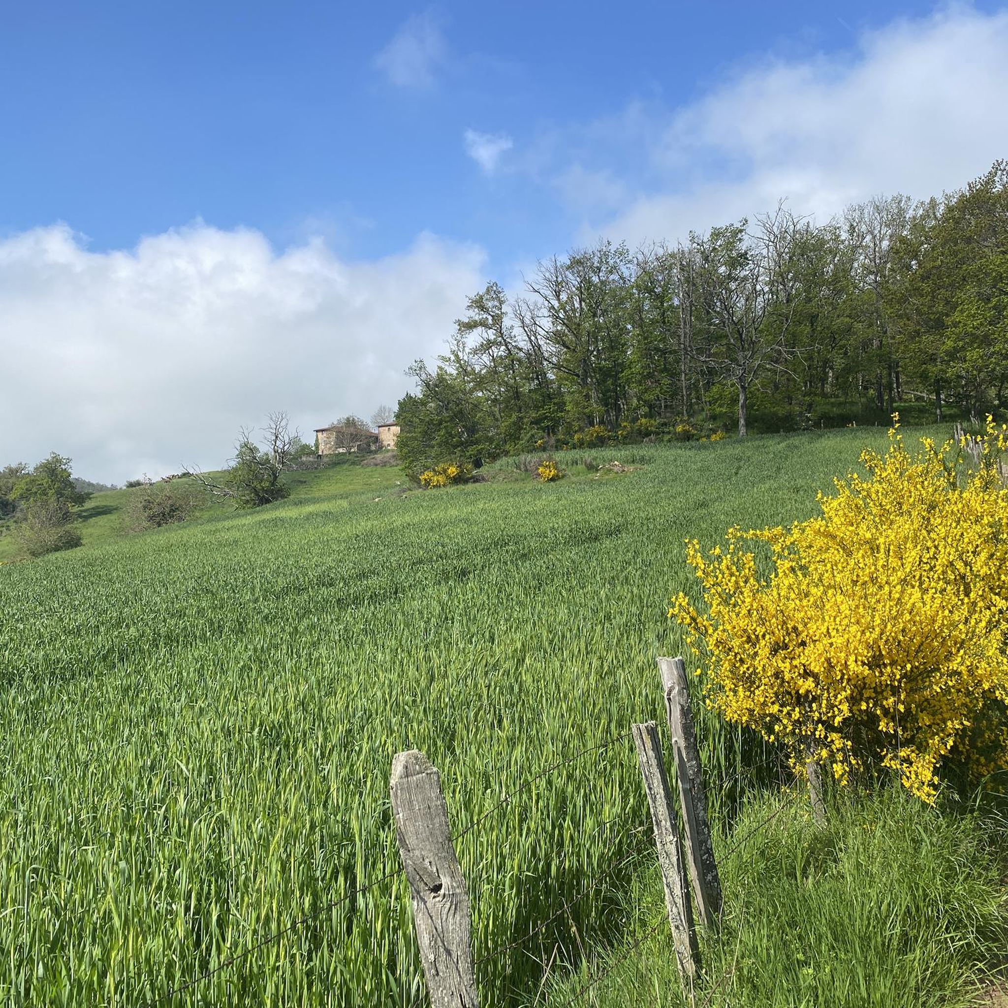
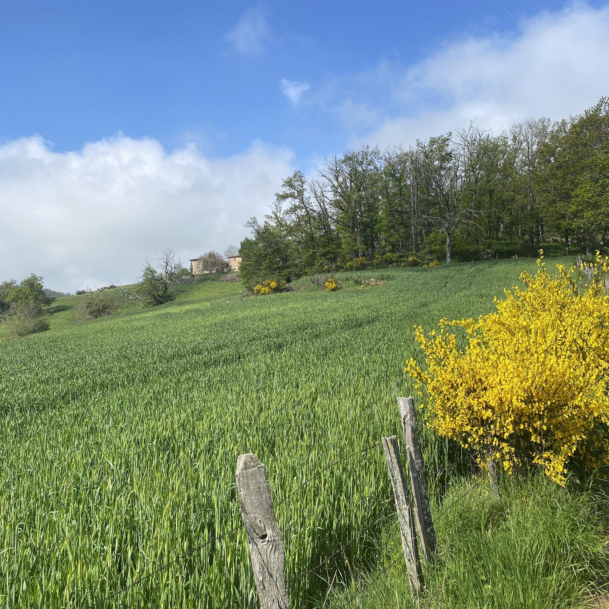
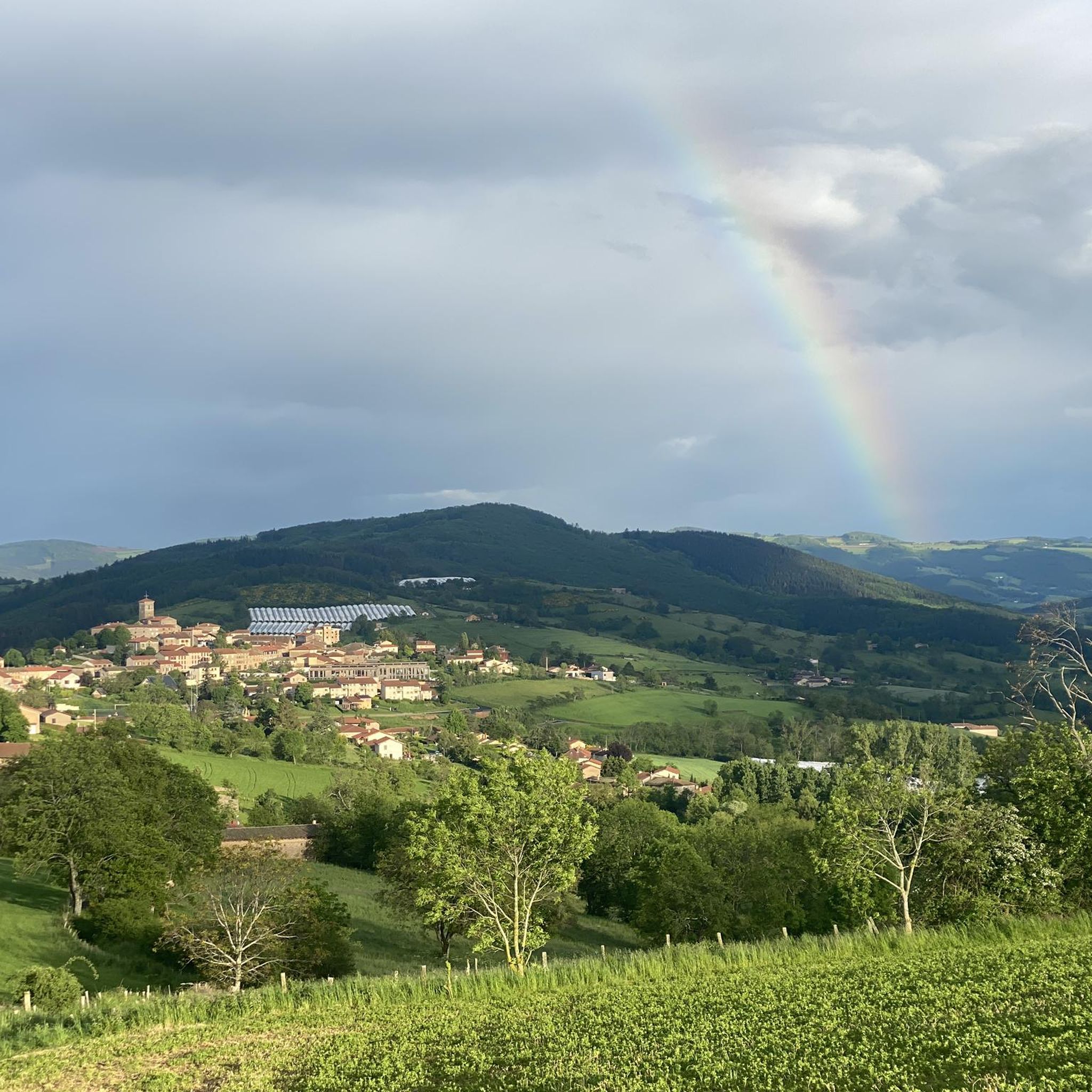
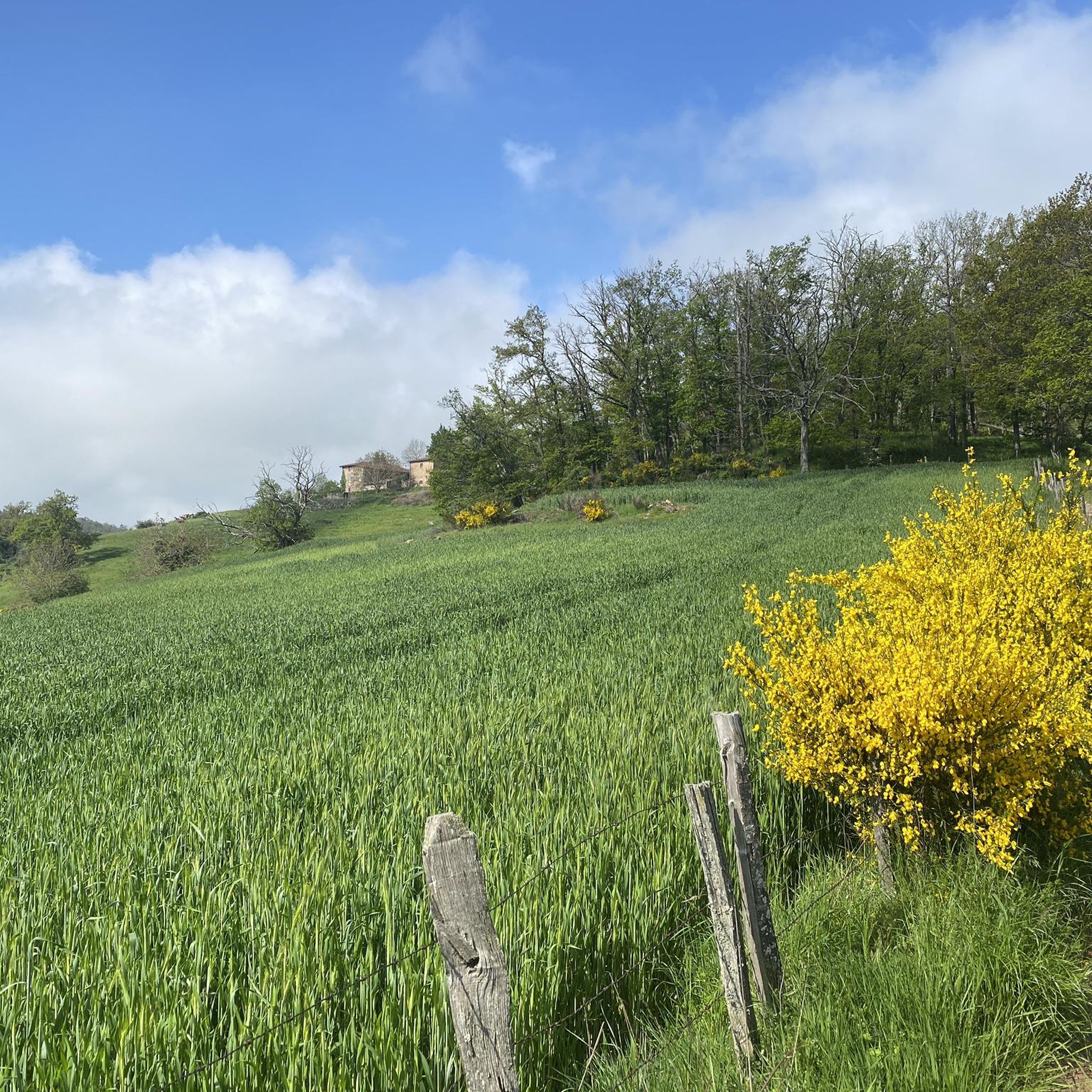
Jogging around Longessaigne, located in the Rhône department within the Monts du Lyonnais, offers diverse landscapes for outdoor activity. The region features varied terrain with altitudes ranging from 539m to 788m, providing a mix of inclines and descents. Extensive networks of running routes traverse green landscapes, including forests, meadows, and open fields, characteristic of the Auvergne-Rhône-Alpes region.
Best jogging routes around Longessaigne
- The most popular jogging route is Mont Boussuivre loop from Villechenève, a 12.4 miles (19.9 km) trail…
Last updated: July 8, 2026
3
runners
9.67km
01:13
270m
270m
Moderate run. Good fitness required. Mostly accessible paths. Some sure footedness required.
6
runners
8.82km
01:04
190m
190m
Moderate run. Good fitness required. Mostly paved surfaces. Suitable for all skill levels.

Sign up for free
3.7
(3)
6
runners
6.06km
00:42
140m
140m
Moderate run. Good fitness required. Mostly paved surfaces. Suitable for all skill levels.
5
runners
4.96km
00:36
110m
110m
Moderate run. Good fitness required. Mostly paved surfaces. Suitable for all skill levels.
3.7
(3)
2
runners
6.62km
00:48
180m
180m
Moderate run. Good fitness required. Mostly paved surfaces. Suitable for all skill levels.
Get access to more routes and recommendations from other explorers.
Sign up for free
Already have an account?
Our route recommendations are based on thousands of hikes, rides, and runs completed by other people on komoot.
Start today with a free account
Your next adventure awaits.
Login or Signup
Frequently Asked Questions
How many running routes are available around Longessaigne?
There are nearly 160 running routes around Longessaigne, offering a wide variety of options for different skill levels and preferences. These trails traverse the diverse landscapes of the Monts du Lyonnais.
What kind of terrain can I expect on the jogging trails in Longessaigne?
The jogging trails in Longessaigne feature varied terrain, characteristic of the Monts du Lyonnais. You'll encounter a mix of inclines and descents, with altitudes ranging from 539m to 788m. Routes often pass through green landscapes, including forests, meadows, and open fields, providing both shaded and open environments.
Are there any easy running routes for beginners in Longessaigne?
Yes, Longessaigne offers several routes suitable for beginners. There are 7 easy running routes available, perfect for those looking for a less challenging run. Additionally, 83 moderate routes provide a good step up for improving fitness.
Can I find circular running routes in the Longessaigne area?
Many of the running routes around Longessaigne are designed as loops, allowing you to start and finish at the same point. For example, the Le Crêt loop from Montrottier is a moderate 8.8 km circular route, offering a scenic run through the local landscape.
What are some notable landmarks or viewpoints I might see while running in Longessaigne?
While running in Longessaigne, you can enjoy panoramic views of the Lyonnais mountains, the Forez region, and even the Massif Central from certain points. Specific highlights include the Col de la Croix de Mazieux and the Col des Brosses. The area also features historical points of interest like the site of the Madone and remnants of old railway lines.
What do other runners think about the trails in Longessaigne?
The running routes in Longessaigne are highly rated by the komoot community, with an average score of 4.5 stars from over 40 reviews. More than 1800 runners have used komoot to explore the varied terrain, often praising the green landscapes and diverse environment of the Monts du Lyonnais.
Are there any challenging running trails for experienced runners?
Absolutely. Longessaigne is home to 68 difficult running routes, perfect for experienced runners seeking a challenge. These trails often feature significant elevation changes and longer distances, such as the Montrottier loop from Montrottier, a demanding 12.7 km route with considerable ascents.
Are the running routes in Longessaigne suitable for families?
Many routes around Longessaigne are accessible and suitable for various fitness levels, including families. While specific 'family-friendly' designations aren't always explicit, the presence of easy and moderate trails through pleasant green landscapes suggests options for enjoyable outings with children, depending on their age and stamina.
Can I bring my dog on the running trails in Longessaigne?
The extensive network of trails in Longessaigne, passing through forests and meadows, generally welcomes dogs. However, it's always advisable to keep your dog on a leash, especially in agricultural areas or near livestock, and to check for any specific local regulations or signage on individual routes.
What is the longest running route available in Longessaigne?
Among the longer options, the Mont Boussuivre loop from Villechenève and the Molagy – Le Rocher loop from Villechenève are both approximately 19.9 km (12.4 miles) long. These difficult routes offer extensive runs through the region's varied topography.
Are there routes that pass through the settlement of Montrottier?
Yes, several routes either start from or pass through the charming settlement of Montrottier. For instance, the Montrottier loop from Montrottier is a popular option that explores the area around this historic location.
What is the elevation range for running in Longessaigne?
The Longessaigne area, situated within the Monts du Lyonnais, features an elevation range from 539m to 788m. This varied topography means that most running routes will include a mix of ascents and descents, providing a good workout and diverse views.
Most popular routes around Longessaigne
Most popular attractions around Longessaigne

Get inspired with the komoot mobile app


Explore more
Browse the best Running Trails & Routes in other regions.
