The best walks and hikes around Bussières
4.5
(216)
1,174
hikers
127
hikes
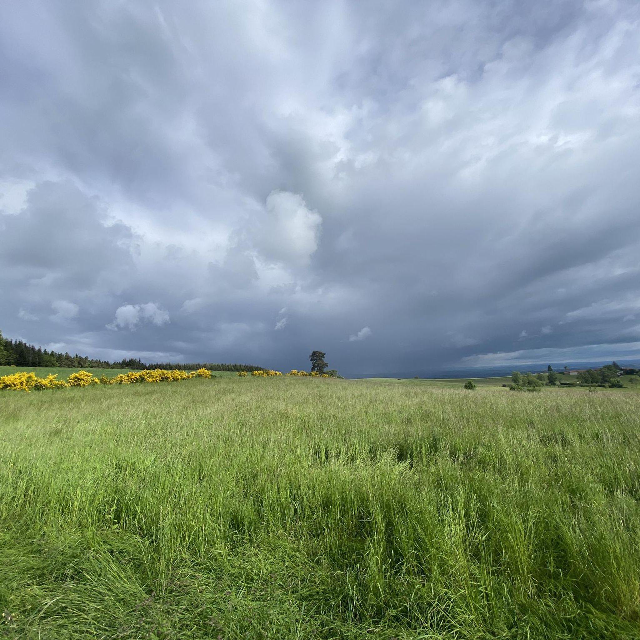
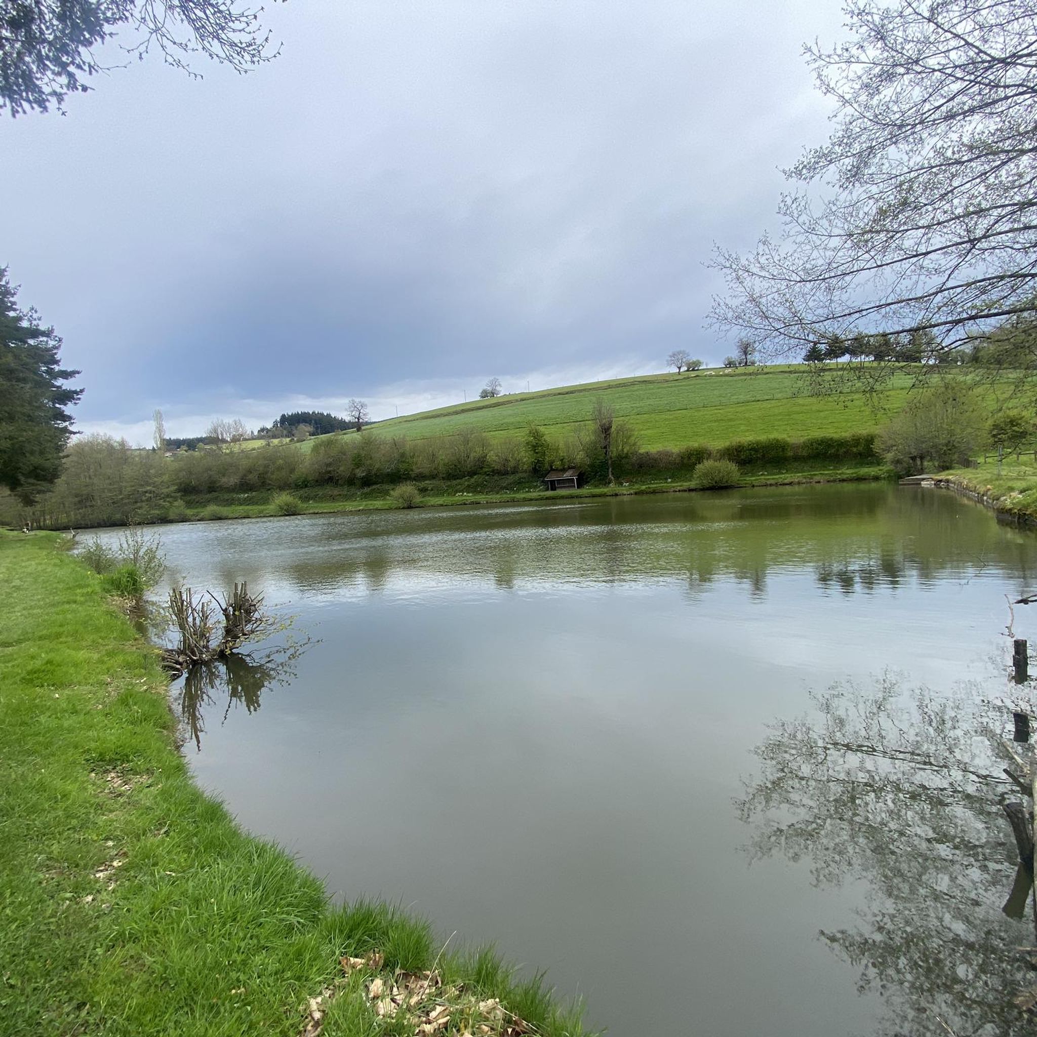
Hiking around Bussières offers a diverse landscape characterized by rolling hills, agricultural fields, and scattered woodlands. The region features a network of trails that traverse rural areas, connecting small villages and historical sites. Elevation changes are generally moderate, making the area accessible for various hiking abilities. The landscape includes extensive forests, meadows, and ponds, providing varied environments for hikers.
Best hiking trails around Bussières
- The most popular hiking route is Rozier-en-Donzy Church loop from Rozier-en-Donzy, a 7.0 miles (11.3…
Last updated: July 3, 2026
5
hikers
7.27km
02:07
200m
200m
Moderate hike. Good fitness required. Easily-accessible paths. Suitable for all skill levels.
4.0
(1)
7
hikers
12.1km
03:35
350m
350m
Moderate hike. Good fitness required. Easily-accessible paths. Suitable for all skill levels.

Sign up for free
4.7
(3)
6
hikers
12.2km
03:34
340m
340m
Moderate hike. Good fitness required. Easily-accessible paths. Suitable for all skill levels.
5.0
(1)
4
hikers
13.5km
03:54
360m
360m
Moderate hike. Good fitness required. Easily-accessible paths. Suitable for all skill levels.
4
hikers
11.3km
03:07
190m
190m
Moderate hike. Good fitness required. Easily-accessible paths. Suitable for all skill levels.
Get access to more routes and recommendations from other explorers.
Sign up for free
Already have an account?
Our route recommendations are based on thousands of hikes, rides, and runs completed by other people on komoot.
Start today with a free account
Your next adventure awaits.
Login or Signup



Tips from the Community

A table to test for your meal on the heights of the Loire
0
0

take the stairs to Chemin du Tacot in Sainte Colombe
0
0

http://les-pierres-folles.fr/ A nice little hotel with a good restaurant - the lovely and friendly owners - you immediately feel at home!
0
0
Pretty little church. Very nice view of the Forez plain.
0
0
http://www.restaurantlechene.com A very good restaurant, cuisine, service and very pleasant staff - the stop was worth it...
0
0

320m long and 50m high, a magnificent view of the valley, take the time to stop and admire the view.
0
0


Magnificent work of art overlooking the A89, a very beautiful point of view and an impressive feeling of space. We can say hi to cars, it's funny.
0
0
Frequently Asked Questions
How many hiking trails are available around Bussières?
There are over 100 hiking trails around Bussières, offering a wide range of options for different abilities. You'll find 28 easy routes, 70 moderate trails, and 20 more challenging paths to explore.
Are there any easy hiking routes suitable for beginners or families in Bussières?
Yes, Bussières offers 28 easy hiking routes, many of which are suitable for beginners or families. These trails typically feature moderate elevation changes and traverse pleasant rural landscapes. For example, the Nèronde – Medieval village of Néronde loop from Néronde is a moderate 4.5-mile (7.3 km) path that explores the countryside and the historic village.
What kind of terrain can I expect on hikes around Bussières?
Hiking around Bussières is characterized by rolling hills, agricultural fields, and scattered woodlands. Trails often traverse rural areas, connecting small villages and historical sites. Elevation changes are generally moderate, making the area accessible for various hiking abilities.
Are there any circular walks or loop trails in the Bussières area?
Yes, many of the trails around Bussières are circular, allowing you to start and end in the same location. Popular loop trails include the Rozier-en-Donzy Church loop from Rozier-en-Donzy, which is 6.8 miles (11.0 km), and the longer Chapel of La Valette – Donzy site loop from Rozier-en-Donzy at 11.2 miles (18.0 km).
What do other hikers enjoy most about the trails in Bussières?
The hiking trails in Bussières are highly rated by the komoot community, with an average score of 4.6 stars from over 170 reviews. Hikers often praise the diverse landscapes, the charm of the rural villages, and the well-maintained paths that offer a mix of open fields and forested sections.
Are there any interesting landmarks or attractions to see along the hiking routes?
Yes, the Bussières area features several points of interest. You might encounter historical sites like the Chapel of La Valette, or natural features such as the Col de la Croix Cazard (865 m). Some routes also pass through charming villages like Pouilly-lès-Feurs.
What is the typical duration of hikes around Bussières?
The duration of hikes in Bussières varies depending on the route and your pace. Many popular trails range from 2 to 5 hours. For example, the Rozier-en-Donzy Church loop typically takes about 3 hours, while the Chapel of La Valette – Donzy site loop can take around 5 hours.
Are there any routes that pass by restaurants or cafes?
Some routes in the Bussières area pass through or near villages where you might find local eateries. For instance, the Le Chêne Restaurant, Violay loop from Sainte-Agathe-en-Donzy is named after a local restaurant, suggesting opportunities for refreshments along the way.
Is it possible to reach hiking trails in Bussières using public transport?
While Bussières is a rural area, some villages that serve as trailheads may be accessible by local bus services. It's advisable to check regional public transport schedules for specific routes and stops near your desired starting point, as direct connections to all trailheads might be limited.
Are there any specific permits required for hiking in the Bussières area?
Generally, no specific permits are required for hiking on the established trails around Bussières. The trails traverse public and agricultural lands. However, always respect private property, follow local signage, and adhere to any specific rules posted in nature areas.
What is the best time of year to go hiking in Bussières?
The best time to hike in Bussières is typically during spring, summer, and autumn. Spring offers blooming wildflowers, summer provides warm weather for longer days, and autumn showcases beautiful foliage. Winter hiking is possible, but some trails might be muddy or slippery, and daylight hours are shorter.
Are there any trails that offer views of the Loire River?
While Bussières itself is not directly on the Loire, some nearby attractions are connected to it. For example, the Pinay Bridge over the Loire is a notable landmark in the wider region, and some trails might offer distant views or lead towards the river valley.
Most popular routes around Bussières
Most popular attractions around Bussières

Get inspired with the komoot mobile app


Explore more
Browse the best Hikes in other regions.
