The best walks and hikes around Helfrantskirch
4.5
(917)
4,136
hikers
171
hikes
Hiking around Helfrantskirch offers a diverse range of outdoor activities, characterized by varied landscapes and a network of trails. The region features dense forests and paths with elevation gains suitable for different fitness levels. Hikers can explore easily accessible routes as well as paths with up to 1,000 feet of elevation gain. The terrain includes narrow paths and forested loops, providing an immersive natural experience.
Best hiking trails around Helfrantskirch
- The most popular hiking route is Fountain – Le Moulin…
Last updated: July 1, 2026
3.3
(11)
23
hikers
9.70km
02:35
110m
110m
Moderate hike. Good fitness required. Easily-accessible paths. Suitable for all skill levels.
5.0
(4)
15
hikers
11.5km
03:08
170m
170m
Moderate hike. Good fitness required. Easily-accessible paths. Suitable for all skill levels.

Sign up for free
4.8
(4)
11
hikers
Easy hike. Great for any fitness level. Easily-accessible paths. Suitable for all skill levels.
4.7
(3)
9
hikers
8.86km
02:21
80m
80m
Moderate hike. Good fitness required. Easily-accessible paths. Suitable for all skill levels.
7
hikers
7.44km
01:57
60m
60m
Easy hike. Great for any fitness level. Easily-accessible paths. Suitable for all skill levels.
Get access to more routes and recommendations from other explorers.
Sign up for free
Already have an account?
Our route recommendations are based on thousands of hikes, rides, and runs completed by other people on komoot.
Start today with a free account
Your next adventure awaits.
Login or Signup

Tips from the Community

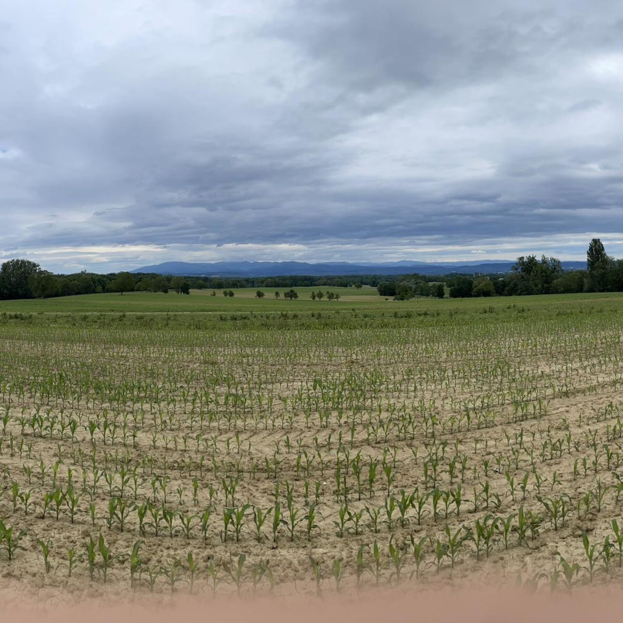
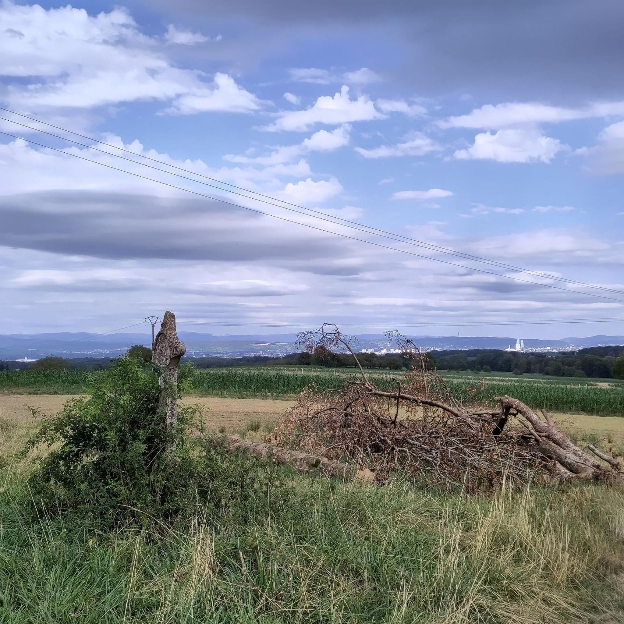
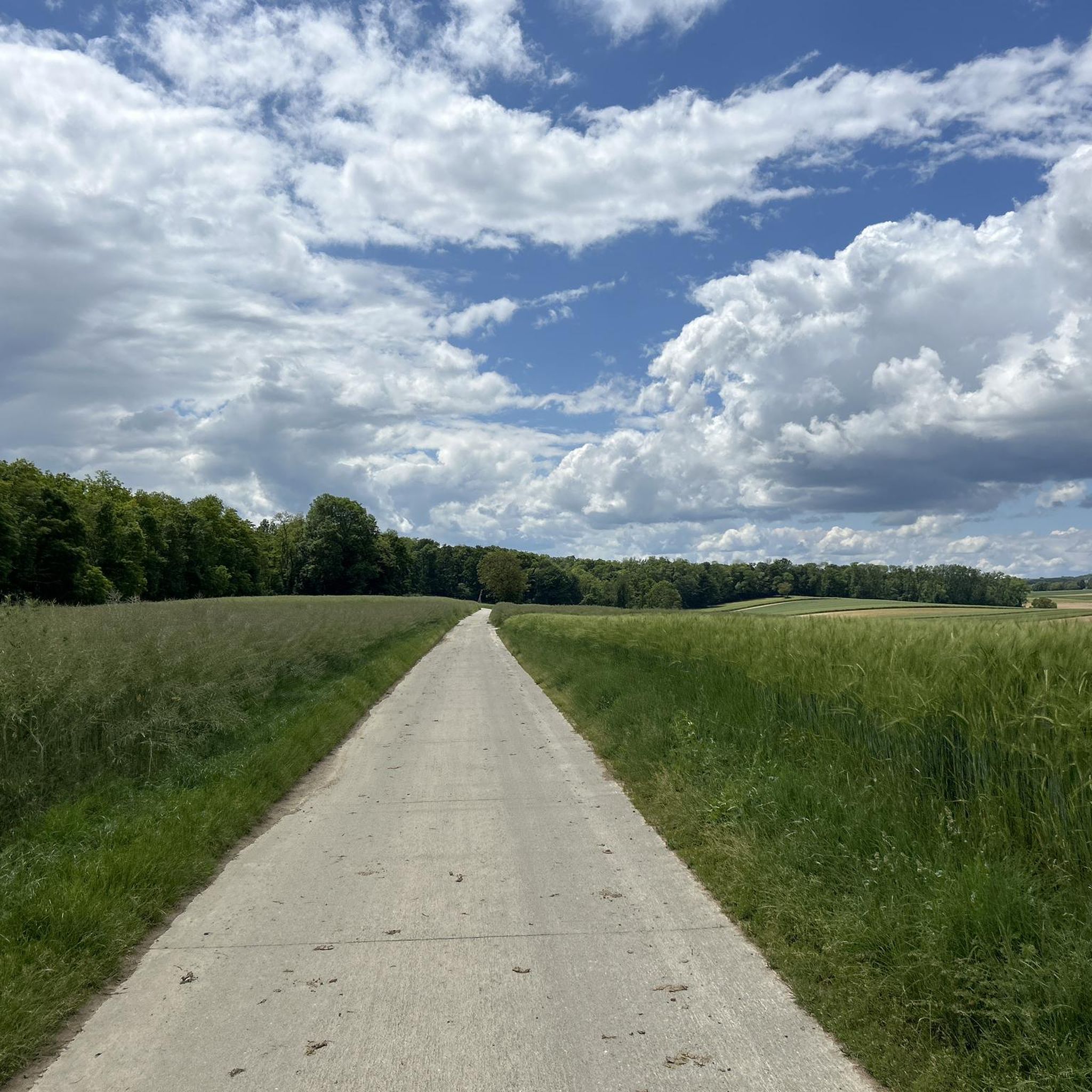
Very beautiful, wide trail through fields and forests, with little elevation gain. Magnificent in good weather. Views of Basel and the Black Forest.
0
0

Depending on the time of year, the access road from above is quite overgrown. The trail/path is barely visible, but suddenly one of those typical Alsatian narrow-gauge bridges appears, which takes you across the stream dry. After the bridge there is a short single trail section through the forest.
0
0


Actually with the road bike rather borderline. The tarmac is not continuous and shows some major damage. Due to the driving ban (!), the path is also covered with some loose material. So basically doable with a racing bike and due to the nature with some charm but rather moderately suitable from the underground.
0
0

Real watermill still in working order, as well as a fantastic holiday cottage
0
0

Superb track of almost 3km super rolling with a part in the forest!
2
0

accessible walk for the whole family
0
0

Knoeringue has an interesting center
0
0
Frequently Asked Questions
How many hiking trails are available around Helfrantskirch?
There are over 130 hiking trails in the Helfrantskirch area, offering a wide variety of options for different skill levels and preferences. This includes 45 easy routes, 79 moderate routes, and 10 more challenging trails.
Are there easy hiking trails suitable for beginners or families in Helfrantskirch?
Yes, Helfrantskirch offers numerous easy trails perfect for beginners or families. For example, the Forest Path – Start from Helfrantzkirch loop from Michelbach-le-Bas is an easy 4.4-mile (7.1 km) route through forested areas, typically completed in under two hours. Another great option is the Start from Helfrantzkirch loop from Ranspach-le-Bas, which is just 3.8 miles (6.1 km) with minimal elevation gain.
What kind of landscapes can I expect to see while hiking in Helfrantskirch?
Helfrantskirch is characterized by its diverse and varied landscapes, primarily featuring dense forests and narrow paths. You'll find many 'Forest Path' loops that immerse you in nature. The terrain includes easily accessible paths as well as routes with moderate elevation gains, offering picturesque environments.
What do other hikers enjoy most about the trails in Helfrantskirch?
The hiking routes in Helfrantskirch are highly rated by the komoot community, with an average score of 4.5 stars from over 750 reviews. Hikers often praise the varied terrain, the immersive forest paths, and the well-maintained network of trails suitable for different ability levels.
Are there any circular walks available in the Helfrantskirch area?
Yes, many of the trails in Helfrantskirch are circular loops, allowing you to start and end at the same point. Examples include the Fountain – Le Moulin de Hundsbach loop from Jettingen, a moderate 6.0-mile (9.7 km) trail, and the Forest Path loop from Ranspach-le-Bas, which is a longer 7.1-mile (11.5 km) loop through woodlands.
What are some interesting places or landmarks to see near the hiking trails?
While hiking around Helfrantskirch, you can explore several interesting natural and man-made attractions. Notable highlights include the Istein Rapids, the Kembs Drawbridge on the Huningue Canal, and the scenic Huningue Canal itself. For historical and natural interest, consider visiting the Isteiner Klotz and the Cliff Chapel.
Are there any viewpoints along the hiking routes in Helfrantskirch?
While specific viewpoints directly on every trail are not detailed, the broader region offers spots like the Mittlere Au Observatory and the Jean Rolland Observatory n°12, which provide opportunities for scenic vistas. The varied terrain and elevation changes on some routes also naturally open up views of the surrounding forested landscapes.
What is the best time of year to go hiking in Helfrantskirch?
Helfrantskirch offers enjoyable hiking experiences throughout much of the year due to its forested environment. Spring and autumn provide pleasant temperatures and beautiful foliage, while summer is ideal for longer days on the trails. Even winter hiking is possible, with the forests offering a serene, snow-dusted landscape, though conditions may vary.
Is public transport available to reach the hiking trails in Helfrantskirch?
While specific public transport links directly to every trailhead are not detailed, Helfrantskirch is a well-established hiking destination. It's advisable to check local bus schedules or regional train connections to nearby towns, which may offer access points or short transfers to the trail network.
Where can I find parking for hiking trails in Helfrantskirch?
Many popular trailheads in and around Helfrantskirch, especially those starting from villages like Jettingen, Ranspach-le-Bas, or Michelbach-le-Bas, typically have designated parking areas. It's recommended to check the specific tour details on komoot for information on parking availability at the start of your chosen route.
Are there any moderate hikes for those looking for a bit more challenge?
Absolutely. Helfrantskirch has 79 moderate routes. A good option is the Fountain – Roman road loop from Franken, an 8.8 km (5.5 miles) trail with over 120 meters of elevation gain, offering a more strenuous experience through varied terrain.
Most popular routes around Helfrantskirch
Most popular attractions around Helfrantskirch

Get inspired with the komoot mobile app


Explore more
Browse the best Hikes in other regions.
