The best walks and hikes around Ayguetinte
4.5
(40)
189
hikers
21
hikes
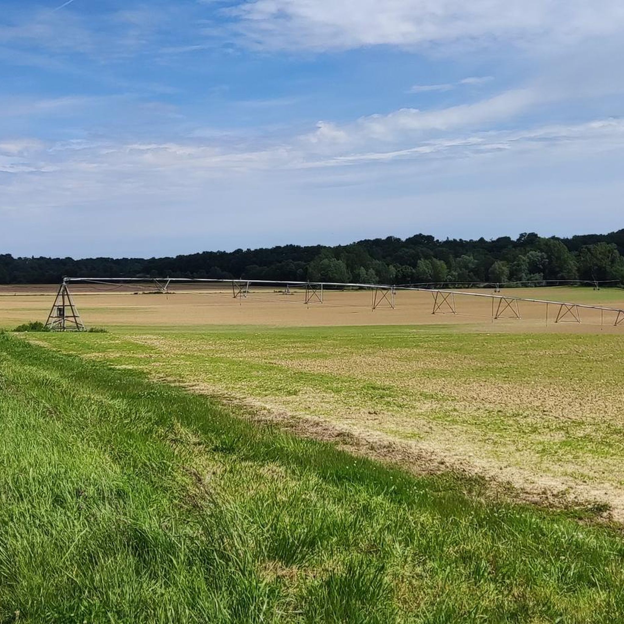
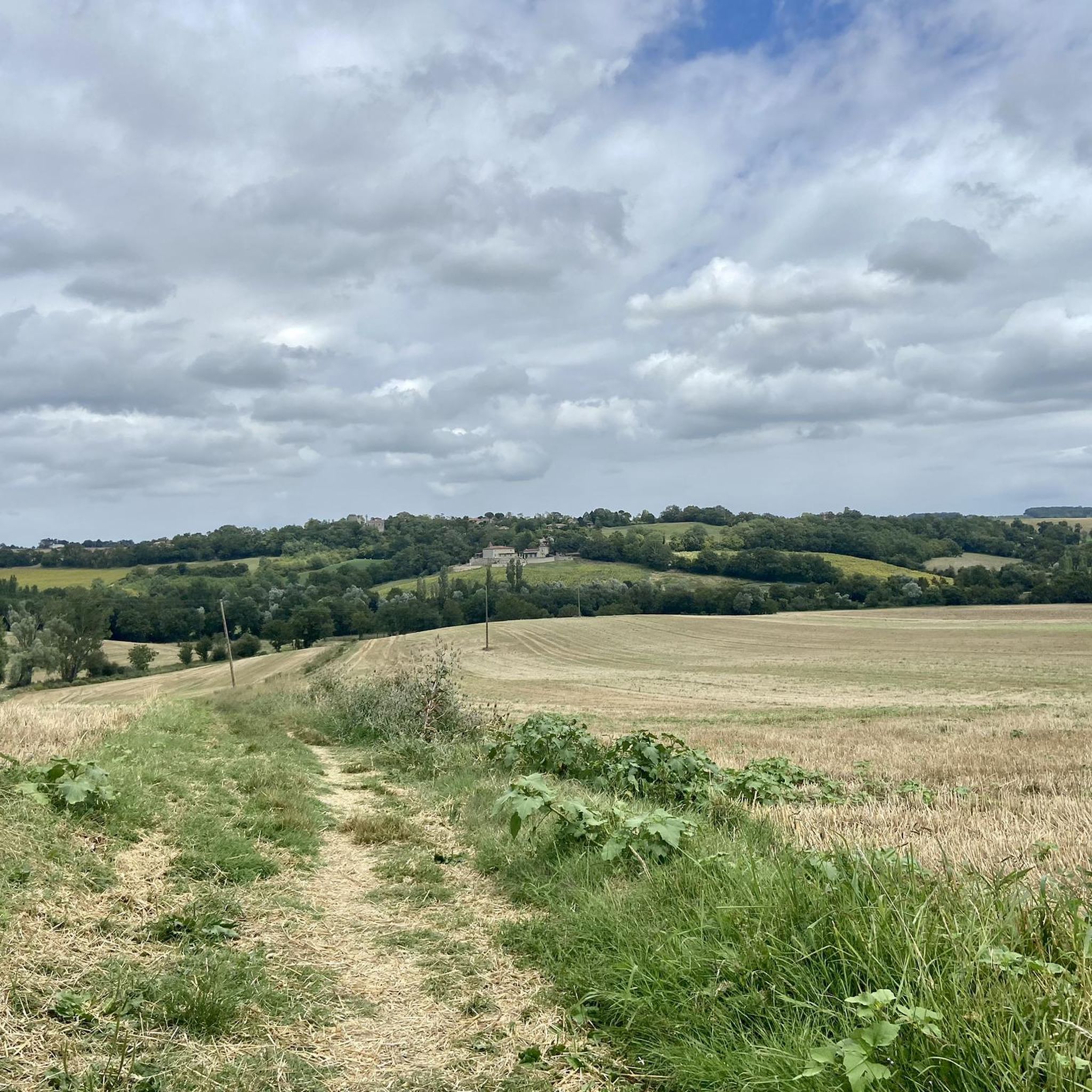
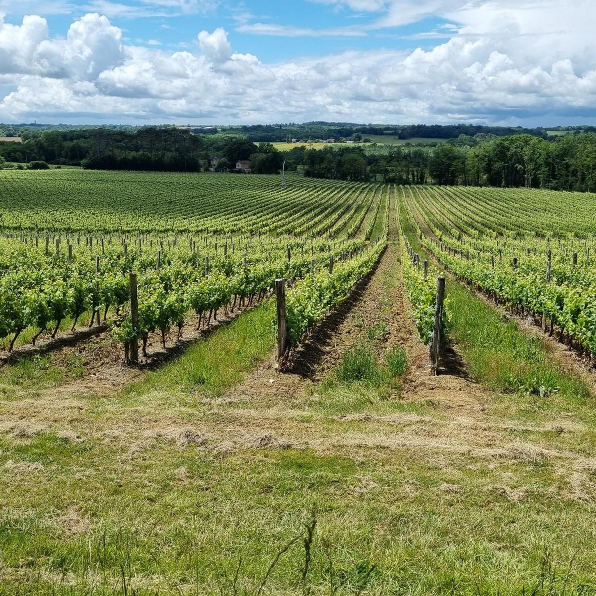
Hiking around Ayguetinte offers access to the varied landscapes of the Gers department in the Occitanie region. The area is characterized by rolling hills, agricultural valleys, and a tranquil rural setting. This environment provides a comprehensive network of trails suitable for exploring the natural beauty of Gascony.
Best hiking trails around Ayguetinte
- The most popular hiking route is Les château Gascons — loop from Valence-sur-Baïse, a 11.0 miles (17.8 km) trail that takes 4 hours 48 minutes to complete.…
Last updated: July 8, 2026
3.5
(2)
5
hikers
17.8km
04:48
230m
230m
Moderate hike. Good fitness required. Mostly accessible paths. Sure-footedness required.
5.0
(2)
16
hikers
12.0km
03:06
60m
60m
Moderate hike. Good fitness required. Easily-accessible paths. Suitable for all skill levels.

Sign up for free
5.0
(1)
8
hikers
11.0km
02:56
120m
110m
Moderate hike. Good fitness required. Easily-accessible paths. Suitable for all skill levels.
5.0
(2)
6
hikers
7.80km
02:03
60m
60m
Moderate hike. Good fitness required. Easily-accessible paths. Suitable for all skill levels.
4.0
(2)
6
hikers
4.40km
01:10
40m
40m
Easy hike. Great for any fitness level. Easily-accessible paths. Suitable for all skill levels.
Get access to more routes and recommendations from other explorers.
Sign up for free
Already have an account?
Our route recommendations are based on thousands of hikes, rides, and runs completed by other people on komoot.
Start today with a free account
Your next adventure awaits.
Login or Signup

Tips from the Community

This is a lovely spot for a picnic, with some rustic tables and benches. There is also a car park right next door.
0
0

Superb Cistercian building founded in 1151, very well preserved.
0
0

This town of barely 1,150 inhabitants has a rich architectural heritage including the Saint-Jean-Baptiste church and its superb square as well as the Cistercian abbey of Flaran, daughter of the Escaladieu abbey.
1
0

This superb chateau is the centerpiece of a magnificent vineyard. Here you can run in the middle of the vines.
2
0
The Château de Mansencôme was built in the 14th century and belonged to the Lasseran family for several centuries. After the revolution, it unfortunately passed through several owners before being abandoned.
2
0

Flaran Abbey permanently houses the special 'Simonow' Collection with some 100 extraordinary works of art from the 17th to the 20th century. The collection consists of works of art by world-renowned artists such as Braque, Cézanne, Chagall, Courbet, Delacroix, Monet, Picasso, Renoir, Rodin, Rubens, Tiepolo, Toulouse-Lautrec and others. Michael Simonow started collecting in 1964 at the age of 18. Since 2002, his prestigious collection has been loaned to Flaran Abbey.
3
0
The monastery 'Abbaye de Flaran' is located in the Vallée de la Baïse just before Valence-sur-Baïse, just 14km east of Camping La Brouquere. This attraction is therefore easy to reach by bike!
3
1
The monastery was converted several times until it was bought by the Département du Gers in 1972, after which an extensive renovation was started. Nowadays many cultural activities are organized in the monastery.
3
0
Frequently Asked Questions
How many hiking trails are available around Ayguetinte?
There are over 20 hiking trails around Ayguetinte, offering a wide range of options for exploring the varied landscapes of the Gers department. These routes traverse rolling hills, agricultural valleys, and tranquil rural settings.
What is the general difficulty level of hikes in Ayguetinte?
The hiking trails around Ayguetinte primarily consist of easy and moderate routes. There are 7 easy trails perfect for beginners or a relaxed stroll, and 15 moderate routes for those seeking a bit more challenge. There are no difficult trails listed in this area.
Are there any circular hiking routes near Ayguetinte?
Yes, many of the trails around Ayguetinte are circular, allowing you to start and end at the same point. For example, the Les château Gascons — loop from Valence-sur-Baïse is a popular moderate circular route covering 17.8 km.
What kind of natural features can I expect to see on the trails?
The Gers department, where Ayguetinte is located, is known for its picturesque natural sites. Hikers can expect to see extensive agricultural valleys, rolling hills, and serene rural landscapes. The area offers a tranquil environment ideal for connecting with nature.
Are there any historical landmarks or attractions along the hiking routes?
Yes, several routes pass by or offer views of historical sites. For instance, the Flaran Abbey – Picnic area loop from Valence-sur-Baïse provides views of the notable Flaran Abbey. Other nearby attractions include Lavardens Castle and the Cézan Fortified Village.
What is the best time of year to go hiking in Ayguetinte?
The Gers department generally offers pleasant conditions for hiking through much of the year. Spring and autumn provide mild temperatures and vibrant landscapes, while summer can be warm but still enjoyable, especially in the mornings or late afternoons. Winter hiking is also possible, offering a different, quieter perspective of the rural scenery.
Are the hiking trails around Ayguetinte suitable for families?
Yes, with 7 easy routes available, Ayguetinte offers several family-friendly options. These trails typically have less elevation gain and shorter distances, making them suitable for children and those looking for a relaxed outing. An example is the Abbaye de Flaran loop from A Bel Air, which is 7.6 km and considered easy.
Can I bring my dog on the hiking trails?
Most rural hiking trails in France, including those around Ayguetinte, are generally dog-friendly, especially if your dog is well-behaved and kept on a leash. It's always advisable to check local signage for any specific restrictions, particularly near agricultural areas or nature reserves.
Is there parking available at the trailheads?
While specific parking information for every trailhead isn't detailed, Ayguetinte and the surrounding villages are rural, and parking is typically available in village centers or designated areas near popular starting points. It's recommended to check route descriptions on Komoot for specific parking suggestions for individual trails.
What do other hikers enjoy most about hiking in Ayguetinte?
The area is highly rated by the Komoot community, with an average score of 4.3 stars from over 35 reviews. Hikers often praise the tranquil rural setting, the varied terrain through the countryside, and the well-maintained network of trails that allow for peaceful exploration away from crowds.
Are there any cafes or places to eat near the hiking trails?
Ayguetinte and nearby villages like Valence-sur-Baïse offer local amenities including cafes and restaurants where you can refuel before or after your hike. These establishments provide a chance to experience the local charm and cuisine of the Gers region.
What is the longest easy hike available in the area?
Among the easy routes, the Abbaye de Flaran loop from A Bel Air is one of the longer easy options, covering 7.6 km and typically taking about 2 hours to complete. It offers a gentle exploration of rural paths and historical sites.
Most popular attractions around Ayguetinte

Get inspired with the komoot mobile app


Explore more
Browse the best Hikes in other regions.
