The best walks and hikes around Estadens
4.5
(208)
1,785
hikers
83
hikes
Hiking around Estadens offers access to the foothills of the Pyrenees, characterized by diverse terrain ranging from verdant forests to mountainous vistas. The region features valleys, gorges, and high plateaus, providing varied landscapes for outdoor exploration. This area is situated in the Haute-Garonne department of France, offering a mix of geological formations and natural features.
Best hiking trails around Estadens
- The most popular hiking route is Karst trail of Saint-Paul – loop from the Bois Perché car park, a…
Last updated: July 2, 2026
4.3
(6)
51
hikers
5.04km
01:22
80m
70m
Easy hike. Great for any fitness level. Easily-accessible paths. Suitable for all skill levels.
5.0
(1)
4
hikers
11.0km
03:05
230m
230m
Moderate hike. Good fitness required. Easily-accessible paths. Suitable for all skill levels.

Sign up for free
9
hikers
Moderate hike. Good fitness required. Easily-accessible paths. Suitable for all skill levels.
5.0
(1)
6
hikers
9.22km
02:46
290m
290m
Moderate hike. Good fitness required. Easily-accessible paths. Suitable for all skill levels.
5.0
(1)
9
hikers
Easy hike. Great for any fitness level. Easily-accessible paths. Suitable for all skill levels.
Get access to more routes and recommendations from other explorers.
Sign up for free
Already have an account?
Our route recommendations are based on thousands of hikes, rides, and runs completed by other people on komoot.
Start today with a free account
Your next adventure awaits.
Login or Signup
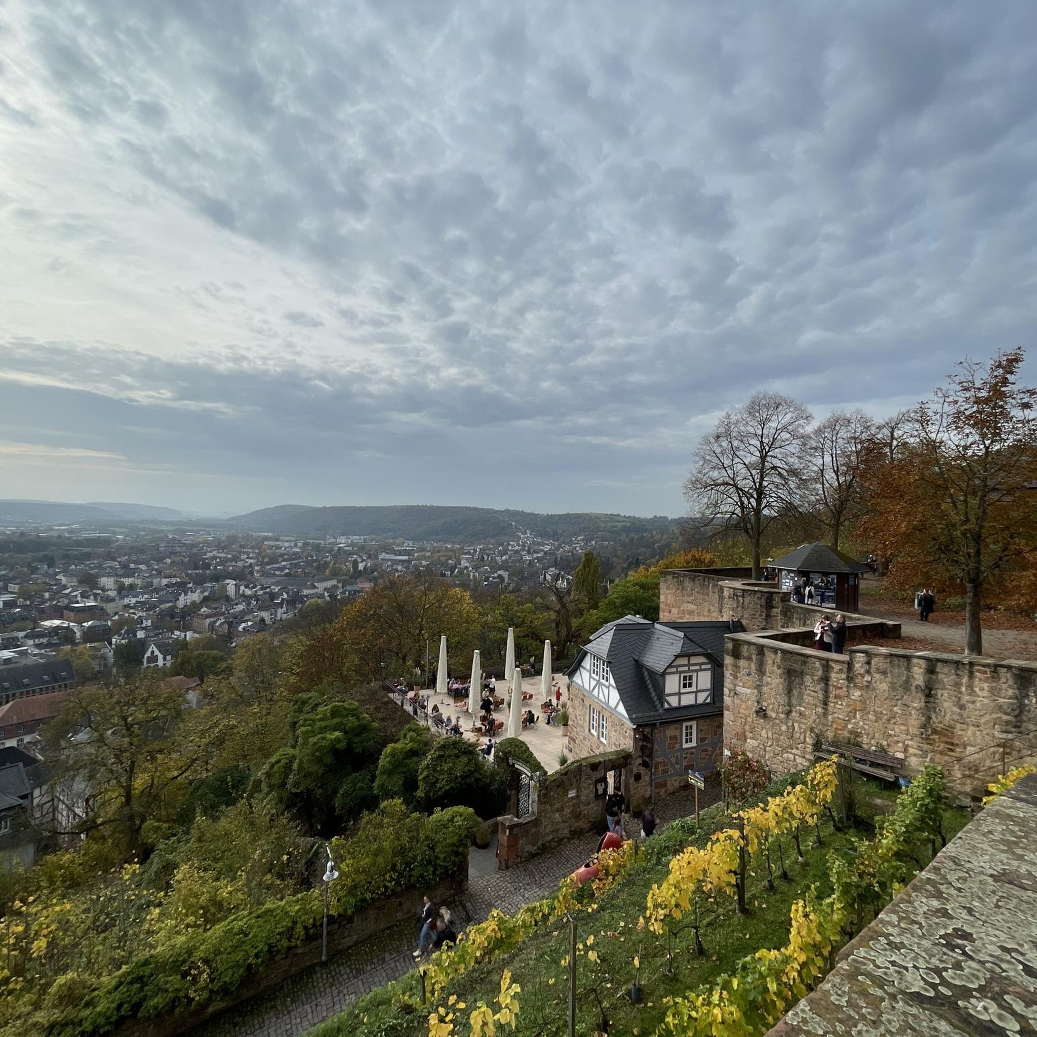
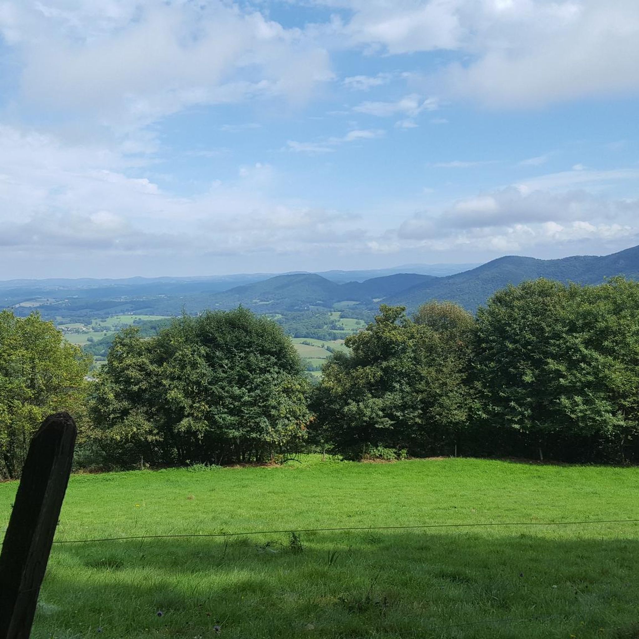
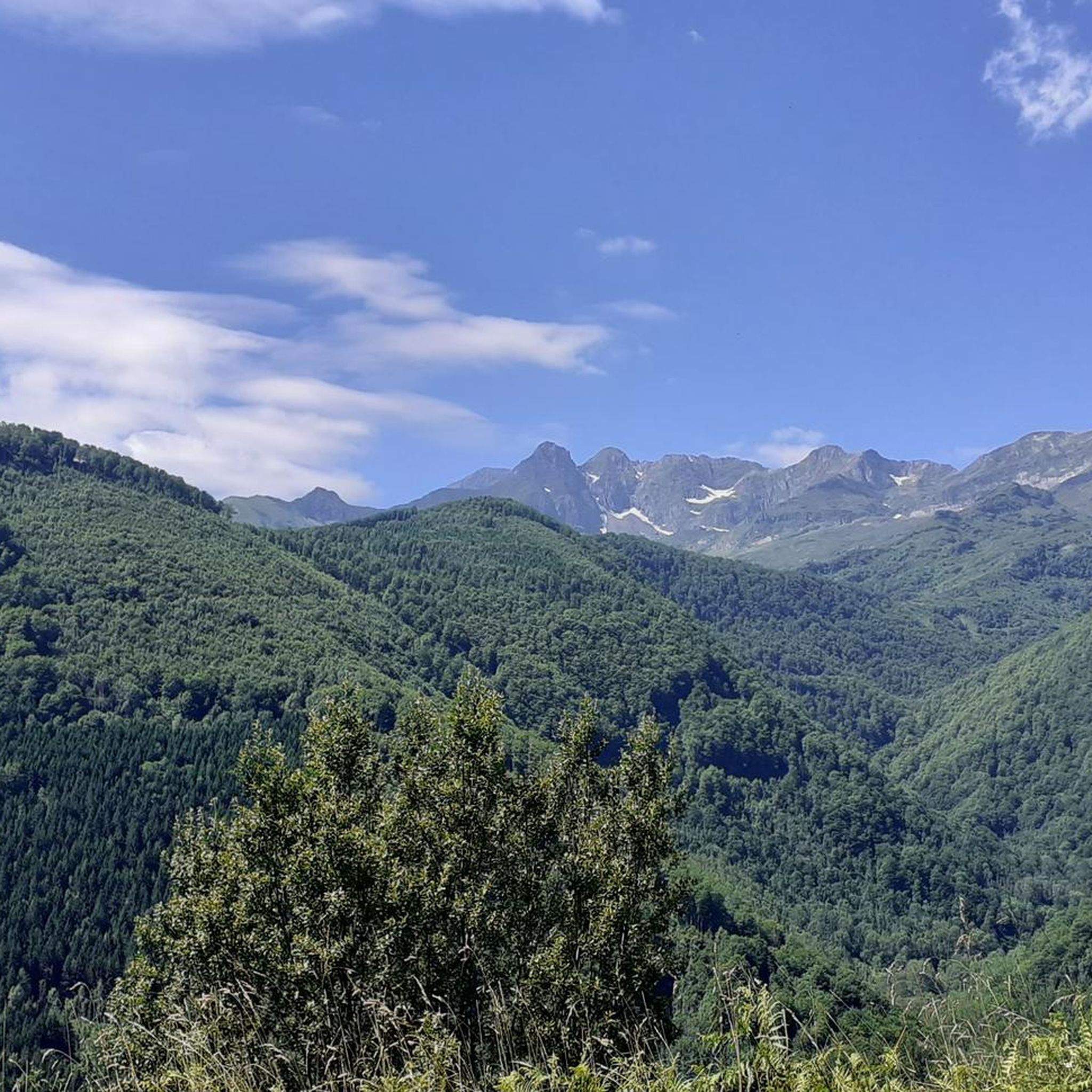
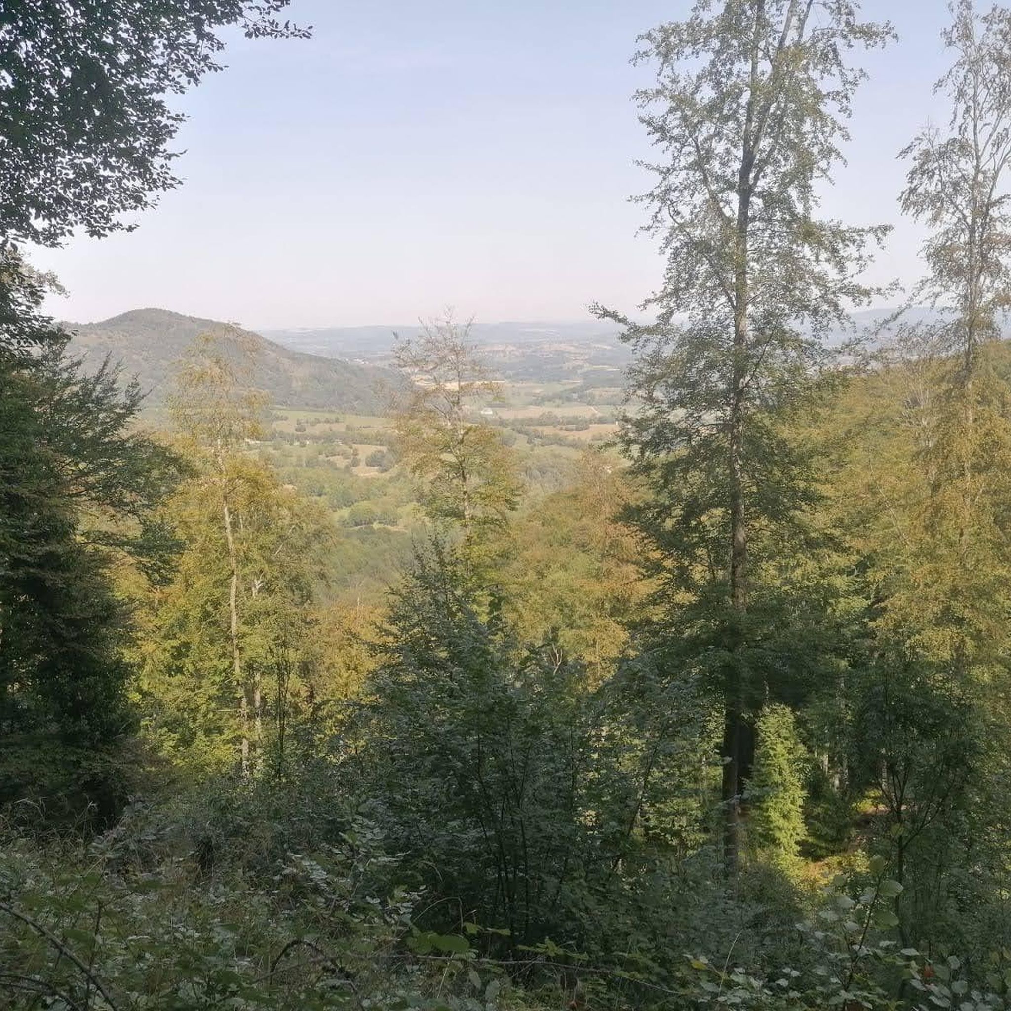

Tips from the Community

Not very long but good percentage
0
0

hard on a mountain bike but it's so beautiful
0
0

For the entrance a little larger for those over 65 😄😇🥸
0
0

Nice climb on a road in good condition. The highest point is 707m above sea level. A must do if you are in the area
1
0

Nice ascent as much on the Arbas side as on the Aspet side. To be included in a trip around the area.
0
0

The forest road of Chein Dessus allows a super walk not too difficult while offering remarkable points of view and an indescribable and unique plenitude.
0
0
Le Longs du Gers, just after the bridge is a very old ruined building which is remarkable.
0
0
Great point of view of the forest road of Paloumère.
0
0
Frequently Asked Questions
What kind of terrain can I expect on hiking trails around Estadens?
Hiking around Estadens offers a diverse range of terrain, from verdant forests and valleys to more mountainous vistas as you approach the Pyrenees foothills. You'll find a mix of geological formations, including karst landscapes, and scenic passes. The region's natural beauty includes gorges and high plateaus, providing varied landscapes for exploration.
How many hiking trails are available around Estadens?
There are over 85 hiking routes available around Estadens, catering to various skill levels. This includes 28 easy trails, 48 moderate trails, and 11 more difficult options for experienced hikers.
Are there family-friendly hiking options near Estadens?
Yes, Estadens offers several family-friendly hiking options. There are 28 easy trails, many of which are suitable for families. For example, the Karst trail of Saint-Paul – loop from the Bois Perché car park is an easy 3.1-mile route that takes about 1 hour 22 minutes to complete, featuring unique geological formations that can be interesting for children.
What are some notable landmarks or natural features to see on hikes around Estadens?
The area around Estadens is rich in natural beauty and interesting landmarks. You can explore mountain passes like Portet-d'Aspet pass and Col de Larrieu (704 m), offering panoramic views. For those seeking more challenging ascents, Pic de Cagire is a prominent summit. The region is also close to the Gorges de la Save, known for dramatic landscapes, and the stunning Lac d'Oo, though a bit further afield.
What is the best time of year to go hiking around Estadens?
The best time to hike around Estadens is generally from spring through autumn. During these seasons, the weather is milder, and the trails are more accessible. While winter hikes are possible, especially on lower elevation trails, higher mountainous areas closer to the Pyrenees may experience snow and require appropriate gear and experience.
Are hiking trails around Estadens dog-friendly?
Many hiking trails in the Estadens region are dog-friendly, especially those in forests and open countryside. However, it's always recommended to keep your dog on a leash, especially in areas with livestock or protected wildlife. Check specific trail regulations if you plan to visit a nature reserve.
Is parking available at the trailheads around Estadens?
Yes, parking is generally available at or near many trailheads around Estadens, particularly for popular routes. For instance, the Karst trail of Saint-Paul specifically mentions starting from the Bois Perché car park.
Can I access hiking trails around Estadens using public transport?
Accessing all hiking trails directly by public transport in the rural Estadens area can be challenging. While some larger towns in the Haute-Garonne department may have bus services, reaching specific, more remote trailheads often requires a car. It's advisable to check local transport schedules for specific routes if you plan to rely on public transport.
Do I need any permits to hike in Estadens?
For general hiking on established trails around Estadens, permits are typically not required. However, if you plan to venture into specific protected areas or nature reserves, it's always a good idea to check for any local regulations or permit requirements beforehand.
What do other hikers enjoy the most about hiking in Estadens?
The hiking experience around Estadens is highly rated by the komoot community, with an average score of 4.5 stars from over 190 reviews. Hikers often praise the diverse terrain, from the quiet forests to the scenic mountain passes, and the variety of routes suitable for different fitness levels. The proximity to the Pyrenees and the natural beauty of the region are frequently highlighted.
Are there any circular hiking routes near Estadens?
Yes, many of the hiking routes around Estadens are designed as circular loops, allowing you to start and end at the same point. Examples include the Saint-Paul de Pujos Chapel – Source Radioactive loop from Couret, which is a moderate 6.8-mile path, and the Viewpoint – Larrieu Pass loop from Col de Larrieu, an 8.2-mile trail with panoramic views.
Are there places to eat or stay near the hiking trails in Estadens?
Estadens and the surrounding villages offer local amenities, including cafes and restaurants where you can refuel after a hike. Accommodation options range from guesthouses to small hotels. Towns like Bagnères-de-Luchon, a spa town in the Pyrenees, also provide additional amenities and are within a reasonable distance for further exploration.
Most popular attractions around Estadens

Get inspired with the komoot mobile app


Explore more
Browse the best Hikes in other regions.
