The best walks and hikes around Oltingen
4.6
(364)
1,717
hikers
24
hikes
Hiking around Oltingen offers diverse landscapes, including idyllic forests, expansive green meadows, and the flowing Ergolz stream. The region is characterized by varied terrain, from gentle paths alongside babbling brooks to routes with moderate elevation changes. Natural features like the Giessen waterfall and the extensive Grossholz forest contribute to the scenic appeal. Rolling hills and charming vineyards are also present in the area.
Best hiking trails around Oltingen
- The most popular hiking route is Saint-Brice Inn – Saint-Brice Chapel loop…
Last updated: October 1, 2026
3.5
(8)
16
hikers
7.81km
02:04
80m
80m
Moderate hike. Good fitness required. Easily-accessible paths. Suitable for all skill levels.
5.0
(1)
8
hikers
Easy hike. Great for any fitness level. Easily-accessible paths. Suitable for all skill levels.

5.0
(2)
16
hikers
8.50km
02:26
200m
200m
Moderate hike. Good fitness required. Easily-accessible paths. Suitable for all skill levels.
3
hikers
8.61km
02:16
80m
80m
Moderate hike. Good fitness required. Easily-accessible paths. Suitable for all skill levels.
3.0
(1)
11
hikers
6.07km
01:42
120m
120m
Easy hike. Great for any fitness level. Easily-accessible paths. Suitable for all skill levels.
Get access to more routes and recommendations from other explorers.
Already have an account?
Our route recommendations are based on thousands of hikes, rides, and runs completed by other people on komoot.
Start today with a free account
Your next adventure awaits.
Tips from the Community

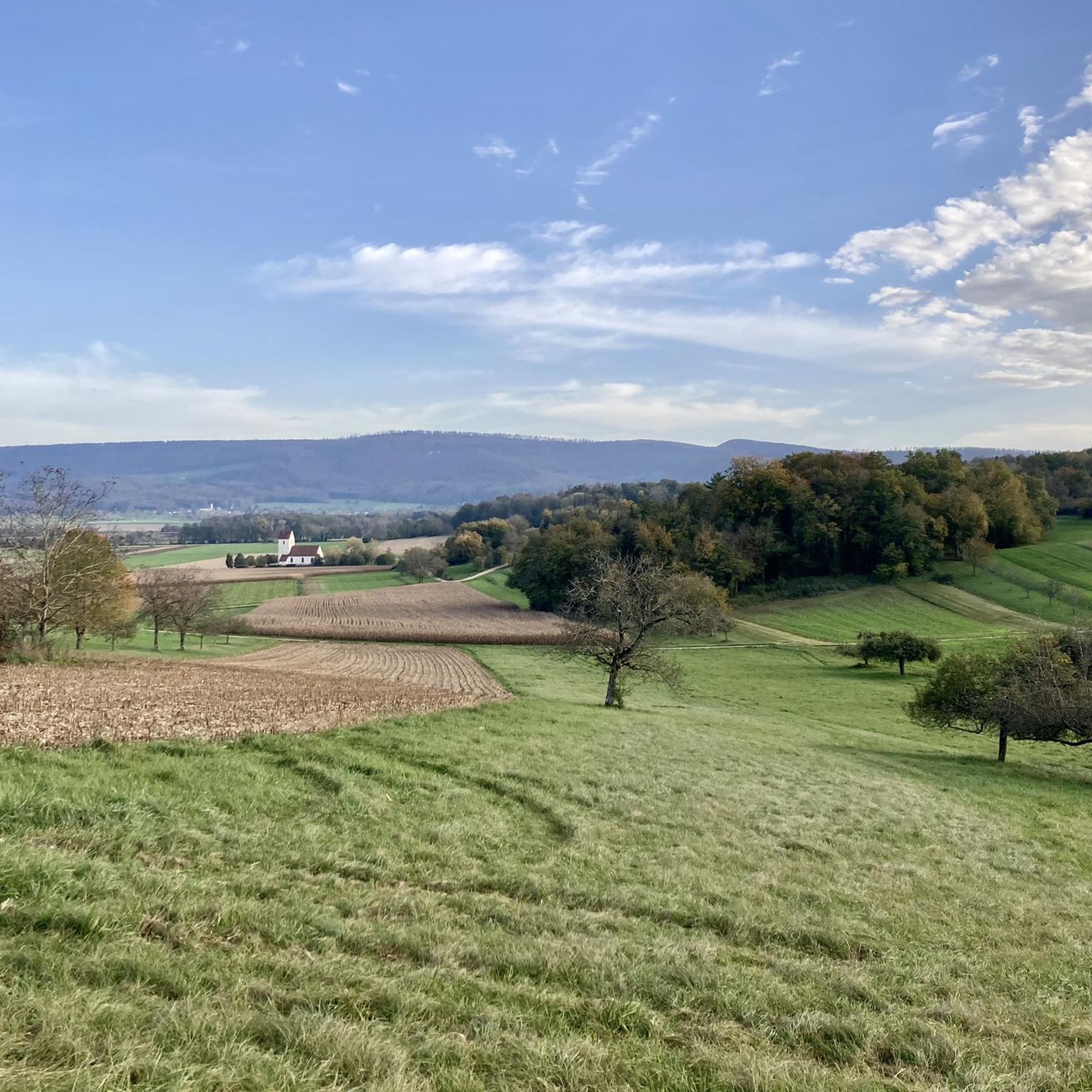
Magnificent place with a great view of the surrounding hills!
0
0

Added to the collection: komoot.com/de-de/collection/3600632/-naturdenkmaeler-besondere-baeume-und-weitere-schaetze-der-natur
0
0

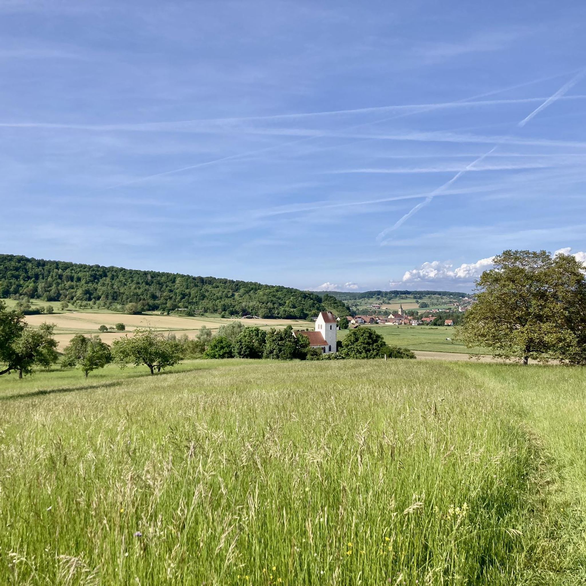
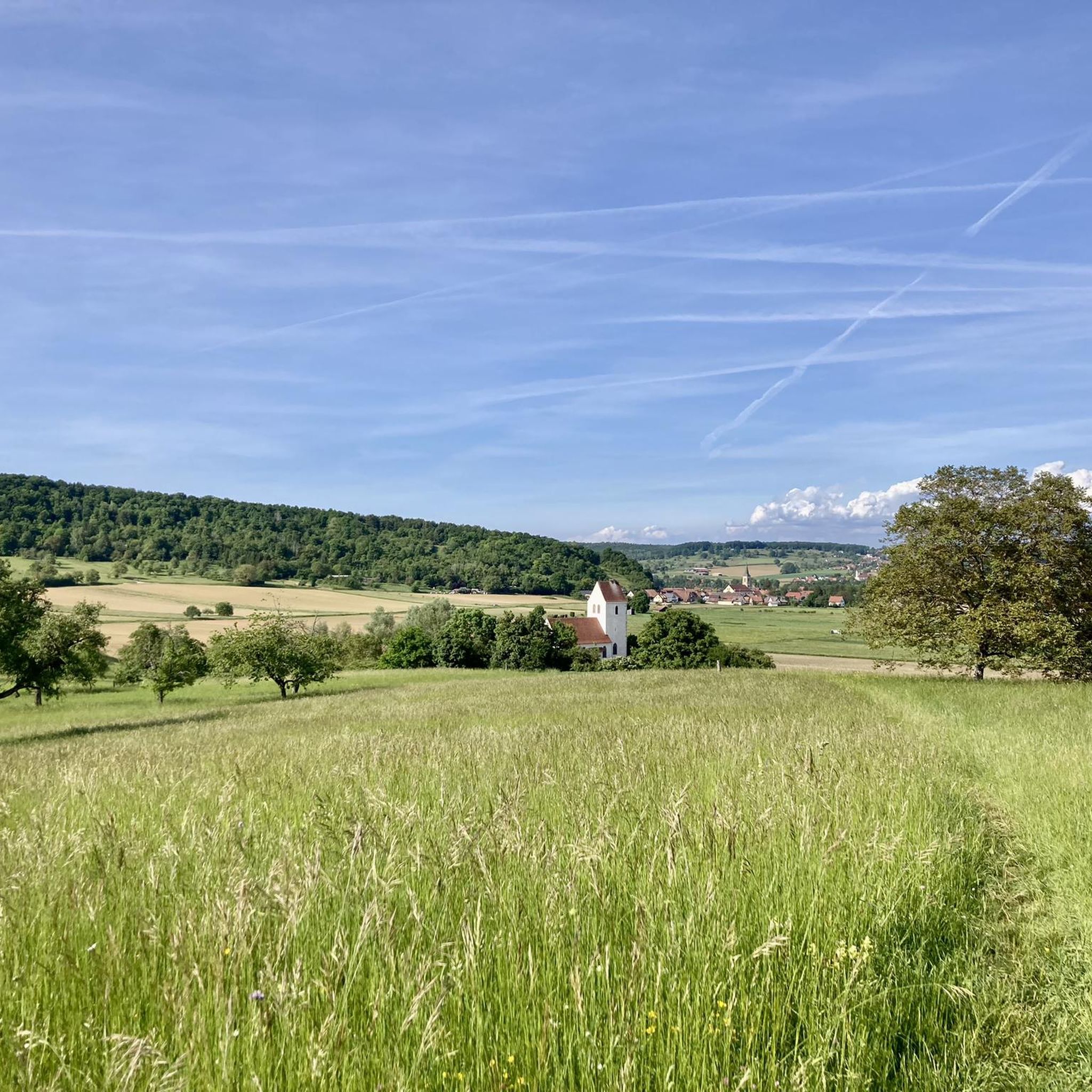
The Saint-Brice Chapel is located between Schwaben and Hausgauen in an idyllic and green setting and currently dates back to 1695.
0
0

The current parish church of Oltingue was built between 1827 and 1831 in late classicist style. Striking features include the triangular pediment above the round-arched portal and the Callinet organ from 1843, which is still in use. Together with the presbytery and the former school, the church forms a well-preserved village ensemble from the Louis-Philippe period. The church replaced an older mother church outside the village.
11
0
This former mother church of Oltingue and three disappeared villages dates from the 13th and 14th centuries. The location is idyllic: surrounded by fields, an old cemetery and often with storks on the roof in the spring. Inside you will discover surprisingly well (?) preserved wall paintings, including a rare representation of the sacrifice of Melchisedech and a Last Supper from 1741. In the choir you will also find a wall tabernacle and a niche for liturgical objects, silent witnesses of medieval rituals. The Gothic arched windows and the neo-Gothic vault are reminders of later restorations, while archaeological excavations in 1989 revealed traces of older sanctuaries and tombs from the early Middle Ages. simple but full of character.
11
0
Raedersdorf is located in the southernmost part of Alsace, in the hilly landscape of the Sundgau, close to the Swiss border. The village is surrounded by forests, springs and hiking trails leading to heritage sites such as the Église Saint-Étienne with its baroque interior and Callinet organ, and the Mariabrunn chapel in the forest. Its location between French-speaking and German-speaking Switzerland makes Raedersdorf a place where cultures come together.
8
0
The church of Raedersdorf was built in its present form between 1807 and 1811, on the foundations of an older church, the tower of which has been partly preserved. The interior was richly decorated in 1811 by sculptor Joseph Antoine Feuerstein, with a harmonious baroque ensemble. The organ was also built in the same year by Jean Frantz. The church was finally consecrated in 1851. It is located in the centre of the village, close to the town hall, and is a silent witness to religious art and village history in the south of Alsace.
10
0

Frequently Asked Questions
How many hiking trails are available around Oltingen?
Based on komoot data, there are over 25 hiking routes in the Oltingen area. These range from easy strolls to more moderate treks, catering to various fitness levels.
Are there hiking trails suitable for beginners or those looking for an easy walk?
Yes, Oltingen offers several easy hiking options. For example, the Saint-Brice Chapel – Saint-Brice Inn loop from Bettlach is an easy 3.5 km route that takes just under an hour to complete, perfect for a relaxed outing.
What kind of landscapes can I expect to see while hiking near Oltingen?
The region around Oltingen is characterized by diverse natural beauty, including idyllic forests, expansive green meadows, and the sounds of babbling brooks. You'll also find significant natural features like the Ergolz stream and the Giessen waterfall, creating a rich habitat for flora and fauna.
Are there any circular hiking routes in the Oltingen area?
Yes, many routes around Oltingen are circular. An example is the St. Martin's Church – Église Saint-Martin-des-Champs loop from Oltingue, which is an easy 6.9 km trail that allows you to return to your starting point.
What are some interesting landmarks or attractions to see along the hiking trails?
Hikers can explore historical sites like the Alt-Biederthal Castle Ruins or the Mariastein Monastery. The region also features natural wonders such as the Dwarves' Grotto and the Cave and rock formations in Chälengrabenschlucht. For panoramic views, consider visiting the Remelturm Observation Tower.
Are there any waterfalls to discover on hikes near Oltingen?
Yes, the region is home to the scenic Giessen waterfall, which is fed by the Ergolz stream. This area, along with numerous smaller streams, adds to the picturesque natural appeal of the hiking routes.
What is the best time of year to go hiking in Oltingen?
Spring is a particularly enchanting time to visit, as the cherry trees in Baselland are in full bloom, offering stunning scenic views. However, the diverse landscapes are enjoyable throughout the warmer months.
Are the hiking trails around Oltingen suitable for families with children?
Yes, many trails are suitable for families. The region offers a variety of paths, from gentle strolls through meadows to the engaging 'passepartout' adventure trail, which allows visitors to discover local environmental aspects like karst caves and orchards.
What do other hikers enjoy most about hiking in Oltingen?
The area is highly rated by the komoot community, with an average score of 4.5 stars. Reviewers often praise the diverse landscapes, including quiet woodlands and expansive green meadows, as well as the well-maintained paths and the variety of routes available for different skill levels.
Are there any extensive forest areas for hiking near Oltingen?
Yes, the Grossholz, one of Switzerland's largest continuous forest areas, is located close to Oltingen. It offers numerous trails with beautiful vistas of valleys, villages, meadows, and streams, providing an immersive forest hiking experience.
Can I find trails with good viewpoints in the Oltingen region?
Absolutely. Many routes offer excellent viewpoints. For instance, the St. Martin's Church – Grand Chêne loop from Oltingue ascends through forested areas, providing panoramic vistas. Additionally, the View of Passwang and Jura Peaks highlight offers stunning scenery.
Are there any nature reserves or protected areas to explore?
Yes, several nature reserves are interspersed throughout the region, protecting its unique biodiversity. The Ergolz stream itself is a vital ecological corridor, and the nearby Naturpark Thal also presents varied hiking routes amidst impressive natural formations.
Most popular attractions around Oltingen

Get inspired with the komoot mobile app


Explore more
Browse the best Hikes in other regions.
