The best running trails around Araules
4.4
(48)
1,998
runners
194
runs
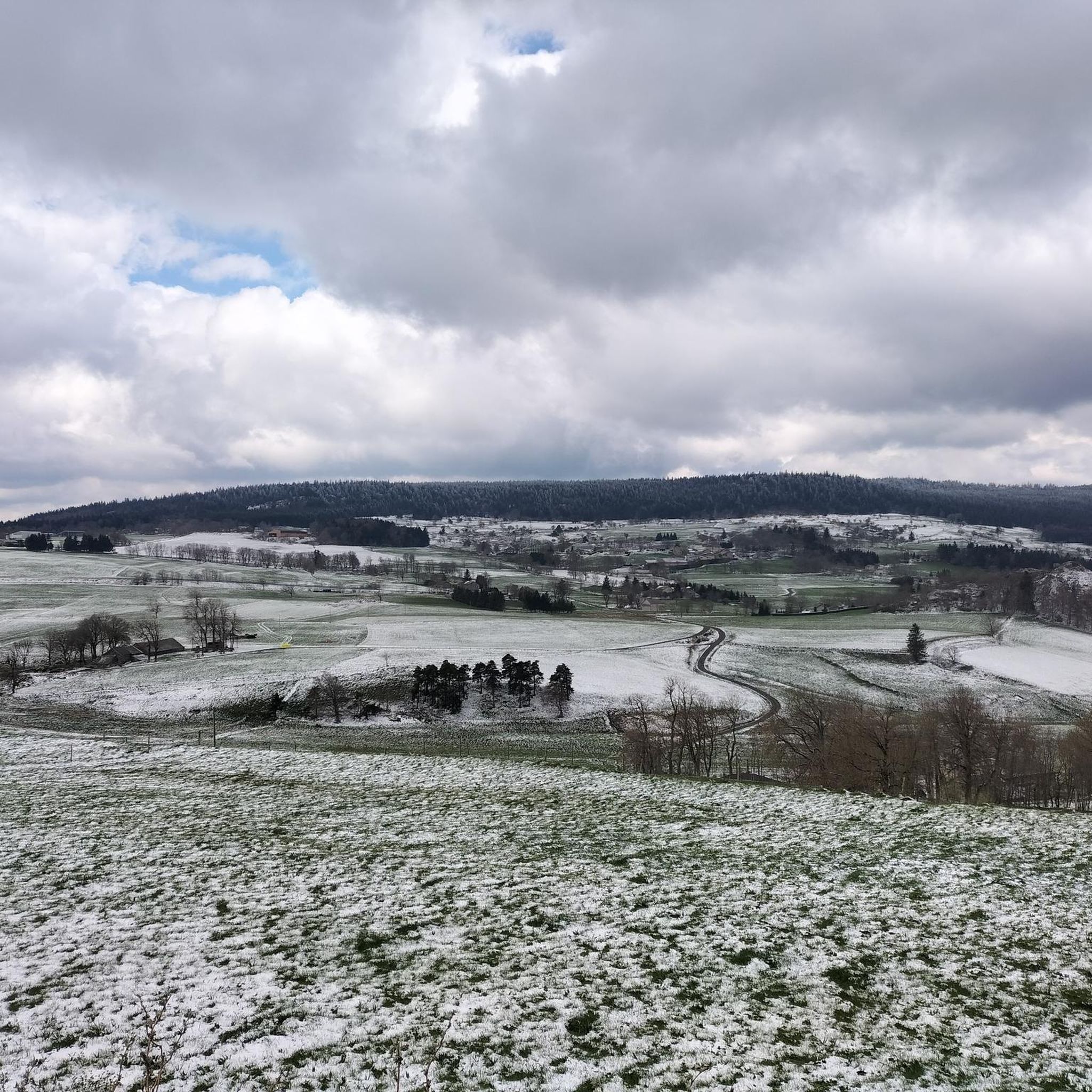
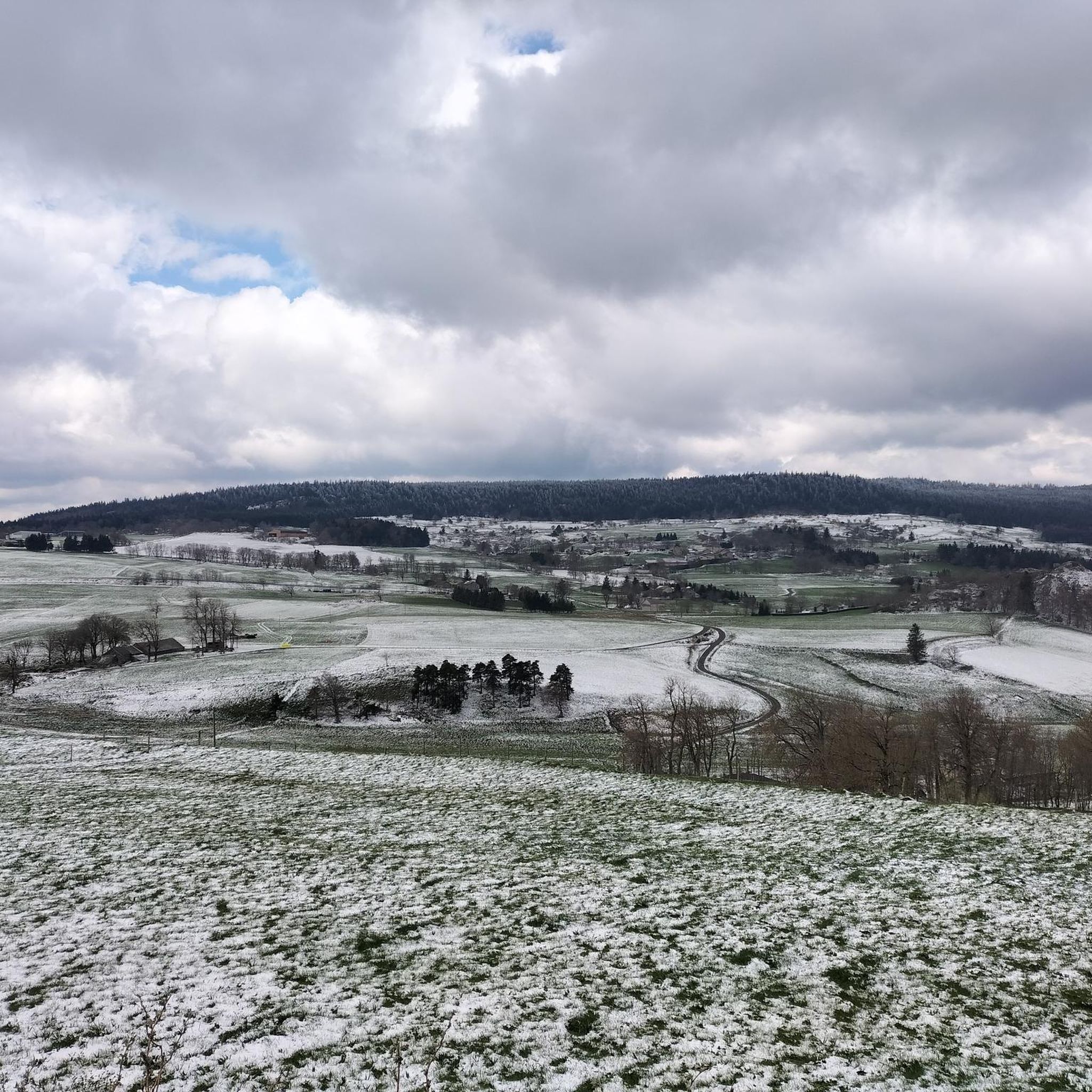
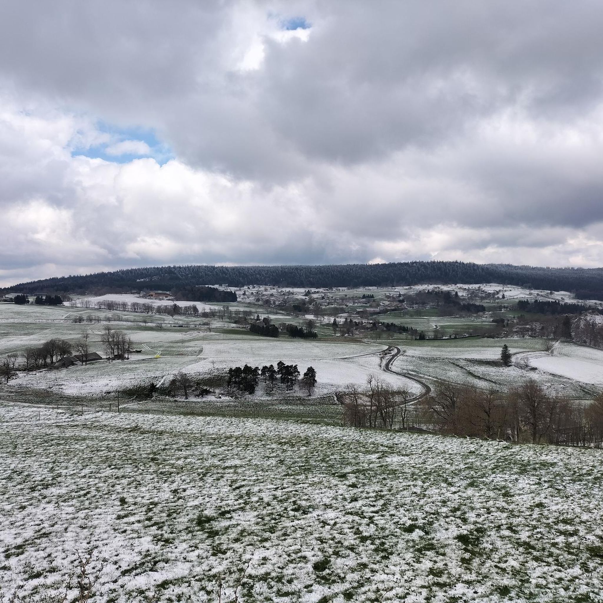
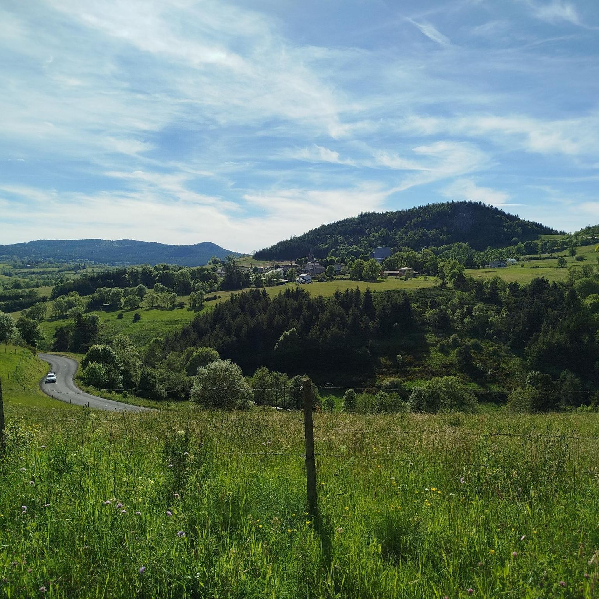
Jogging around Araules offers diverse landscapes characterized by ancient volcanoes and unique geological formations known as "sucs." The region features an extensive network of trails, providing varied terrain for runners. These paths wind through lush green environments and offer opportunities to explore natural features. The area's topography includes gentle slopes and more challenging ascents, catering to different running preferences.
Best jogging routes around Araules
- The most popular jogging route is Picnic area loop from La Banque, a 5.1 miles…
Last updated: June 29, 2026
2.0
(1)
33
runners
8.81km
00:57
140m
140m
Moderate run. Good fitness required. Mostly paved surfaces. Suitable for all skill levels.
21
runners
16.6km
02:13
640m
640m
Hard run. Very good fitness required. Mostly paved surfaces. Suitable for all skill levels.

Sign up for free
16
runners
31.2km
03:58
1,070m
1,070m
Hard run. Very good fitness required. Mostly paved surfaces. Suitable for all skill levels.
6
runners
10.5km
01:07
130m
130m
Moderate run. Good fitness required. Mostly paved surfaces. Suitable for all skill levels.
5
runners
7.56km
00:49
130m
130m
Moderate run. Good fitness required. Mostly paved surfaces. Suitable for all skill levels.
Get access to more routes and recommendations from other explorers.
Sign up for free
Already have an account?
Our route recommendations are based on thousands of hikes, rides, and runs completed by other people on komoot.
Start today with a free account
Your next adventure awaits.
Login or Signup

Tips from the Community

The Suc de Chapteuil is an enormous organ rock which represents an ancient volcanic chimney. The 360 degree view is sublime. We'll be amazed!
0
0
The Suc de Chapteuil is an enormous organ rock which represents an ancient volcanic chimney. Organs have always been used in construction, notably for the castle of the lords of Chapteuil, the remains of which can be seen.
0
0
The town of Saint-Julien-Chapteuil is nestled in the heart of the Meygal massif. The town retains traces of its medieval past and you can appreciate its beautiful church and the ruins of the Château de Chapteuil. It is a town which has its own identity, offering all services and which has many shops.
0
0

Magnificent view and possibility of picnicking at the top.
0
0

It is a place near the summit of Testavoyre, which can serve as a rest area in summer, as a refuge in winter.
0
0

Located at 1200 meters above sea level, small village of Champclause with a beautiful church listed as a historical monument.
1
0

The church of Saint-Julien-Chapteuil is very imposing and bears some resemblance to the cathedral of Le-Puy-en-Velay. The church is located on a hill that can be reached from two sides via step paths. The facade stands as a separate stylistic element in front of the church and even towers over it. The Saint-Julien church was built in the 12th century.
5
0

From this summit, you can enjoy a magnificent panoramic view of the volcanic landscapes: to the north the region of Yssingeaux with its volcanic belt, to the east the summit of Lizieux, to the south Saint-Front with a view of the Mézenc and to the southwest the mountains of Velay.
3
0
Frequently Asked Questions
How many running routes are available in Araules?
Araules offers a wide selection of running routes, with over 190 trails available for you to explore. These range from easy strolls to challenging long-distance runs, catering to all fitness levels.
What kind of terrain can I expect on the running trails in Araules?
The running trails in Araules are characterized by diverse terrain, largely influenced by the region's ancient volcanic landscape. You'll encounter everything from gentle slopes and lush forest paths to more challenging ascents and rocky sections, often referred to as 'sucs'. This variety provides both physical exertion and stunning views.
Are there any easy or beginner-friendly running routes in Araules?
Yes, Araules has several easy running routes perfect for beginners or those looking for a relaxed jog. For example, the Picnic area loop from La Banque is a moderate 5.1-mile (8.2 km) trail that offers a pleasant experience through varied terrain without significant difficulty.
Can I find circular running routes in Araules?
Absolutely. Many of the running routes in Araules are circular, allowing you to start and finish at the same point. A popular option is the La Cunette loop from La Banque, which is a 7.3-mile (11.8 km) trail leading through lush greenery and forest paths.
What natural landmarks or points of interest can I see while jogging in Araules?
While jogging in Araules, you can discover several natural landmarks. The region is known for its volcanic 'sucs' and offers views of features like the Suc de Chapteuil. You might also encounter the impressive Cascade de la Beaume or the unique Basalt organ of Queyrières. The nearby Lake Lavalette also offers picturesque views.
Are the running trails in Araules suitable for families with children?
Yes, many trails in Araules are suitable for families. The extensive network includes easier, less strenuous paths that are ideal for a family outing. Look for routes with gentler slopes and well-maintained surfaces for a comfortable experience with children.
Are dogs allowed on the jogging routes in Araules?
Generally, dogs are welcome on the running trails in Araules, especially in the natural and forest areas. However, it's always recommended to keep your dog on a leash, especially near livestock or in more populated areas, and to clean up after them to preserve the natural environment for everyone.
What is the best time of year to go running in Araules?
The lush green environments of Araules make it an excellent destination for running throughout much of the year. Spring and autumn offer pleasant temperatures and vibrant scenery. Summer is also popular, though it's advisable to run in the cooler mornings or evenings. Winter running is possible, but be mindful of potential snow or ice on higher or less-maintained trails.
Is parking available at the trailheads for running routes in Araules?
Yes, parking is generally available at or near the trailheads for many running routes in Araules. Given the region's focus on outdoor activities, you'll often find designated parking areas in villages or at popular starting points for trails. It's always a good idea to check specific route details for precise parking information.
What do other runners enjoy most about jogging in Araules?
The komoot community highly rates the running experience in Araules, with an average score of 4.4 stars from over 40 reviews. Runners frequently praise the diverse landscapes, the stimulating volcanic terrain, and the peaceful, lush green environments that allow them to 'clear their heads' and enjoy nature.
Are there any challenging running routes for experienced runners in Araules?
Absolutely. For experienced runners seeking a challenge, Araules offers routes with significant elevation changes and longer distances. The La Cunette – Le Testavoyre loop from Recharinges is a difficult 19.7-mile (31.7 km) path that features substantial climbs across the volcanic landscape, providing a demanding and rewarding experience.
Can I combine running with exploring local attractions in Araules?
Yes, many running routes can be combined with exploring local attractions. For instance, some trails might lead you near the Himalayan footbridge at Gorges du Lignon, offering dramatic scenery. You can also find routes that pass by the Queyrières volcano or the serene Lac de Saint-Front, allowing you to enjoy both your run and the region's highlights.
Most popular attractions around Araules

Get inspired with the komoot mobile app


Explore more
Browse the best Running Trails & Routes in other regions.
