The 20 Most Amazing Peaks around Ainhoa
Mountain peaks around Ainhoa offer diverse terrain and panoramic views in the French Basque Country. This region is characterized by its mountainous landscape, providing numerous summits for exploration. The area serves as a natural boundary between France and Spain, influencing its geographical features. Visitors can find a range of elevations and hiking opportunities within this setting.
Best mountain peaks around Ainhoa
- The most popular mountain peaks is La Rhune summit, a summit that rises to an altitude of 901 meters. It is accessible by train or on foot and is located on the border between France and Spain.
- Another must-see spot is Mondarrain, a summit culminating at 749 meters. It offers a magnificent view of the surrounding area, including its neighbor, Artzamendi.
- Visitors also love Iparla Peak, a summit culminating at 1,044 meters above sea level. This natural wall symbolizes the separation between France and Spain.
- Ainhoa is known for summits, viewpoints, and natural monuments. The area offers a variety of mountain peaks to see and explore, ranging from intermediate to challenging.
- The mountain peaks around Ainhoa are appreciated by the komoot community. The guide features 165 photos and has received 586 upvotes from visitors.
Last updated: July 7, 2026
La Rhune summit
Highlight • Summit
Translated by Google •
Tip by

Iparla Peak
Highlight • Summit
Translated by Google •
Tip by
Sign up now to discover places like this
Get recommendations on the best single tracks, peaks, & plenty of other exciting outdoor places.
Sign up for free
Santa Barbara Cross (Suhalmendi)
Highlight • Summit
Translated by Google •
Tip by

Mont Artzamendi
Highlight • Summit
Translated by Google •
Tip by
Mondarrain
Highlight • Summit
Translated by Google •
Tip by
Sign up for free to discover even more peaks around Ainhoa.
Sign up for free
Already have an account?
Start today with a free account
Your next adventure awaits.
Login or Signup
Popular around Ainhoa
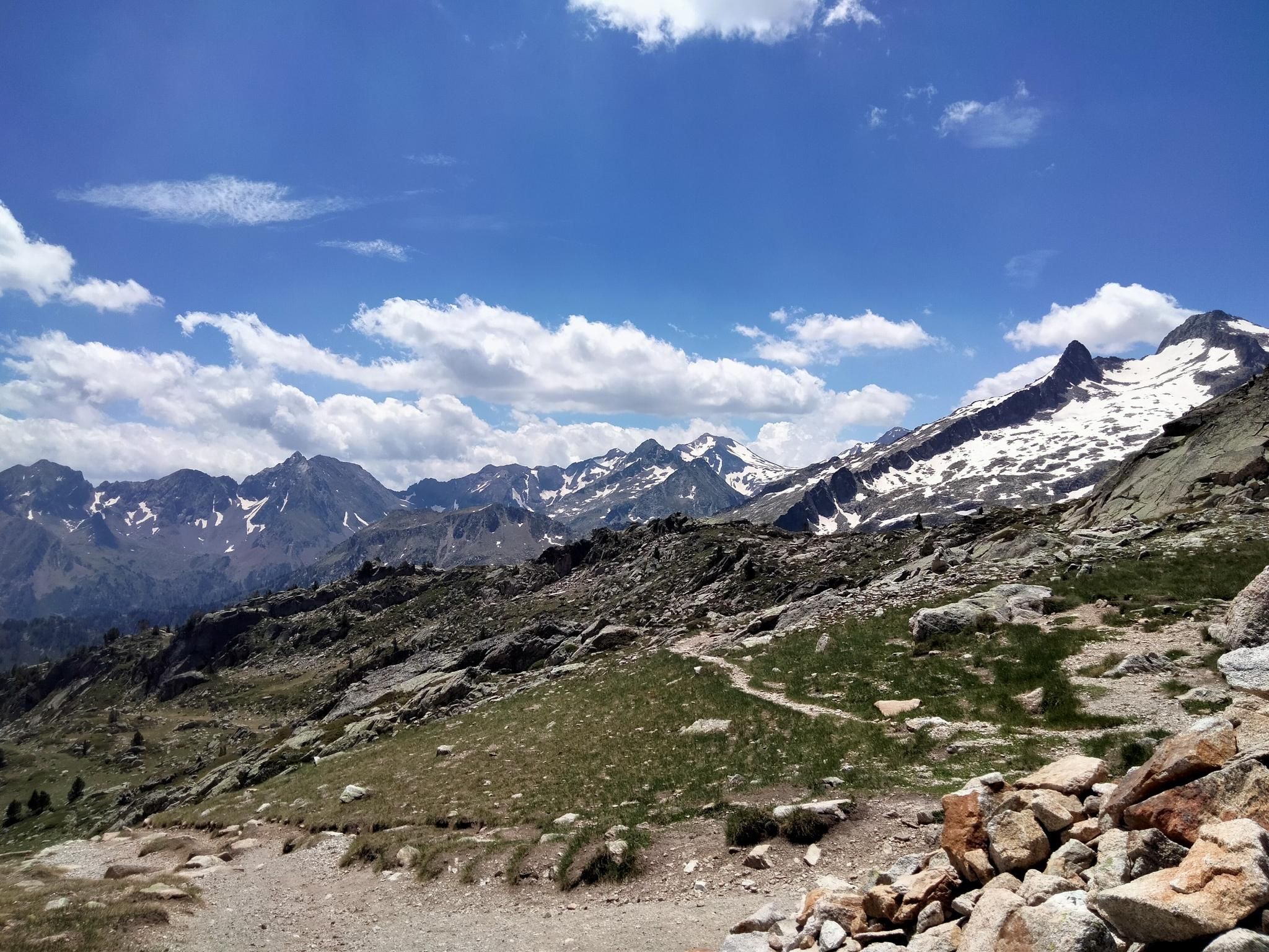
Hexatrek, the western and central Pyrenees – Between mountains and the ocean
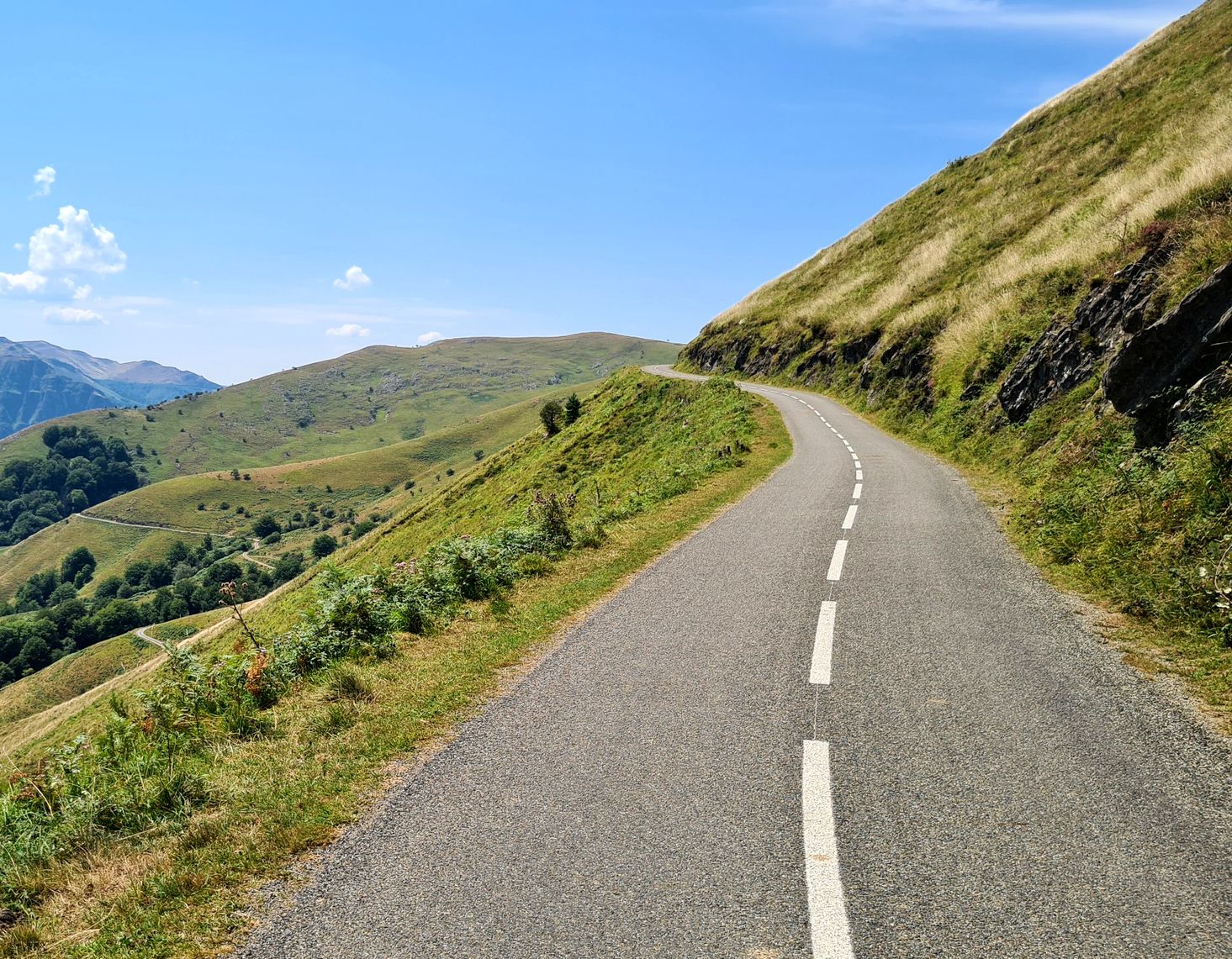
Basque Country mountain passes – Panorama rides
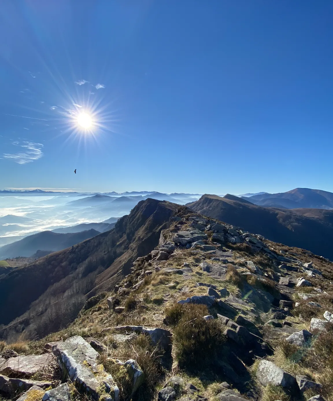
The coast to the mountains – the best hikes in Spain’s Basque Country
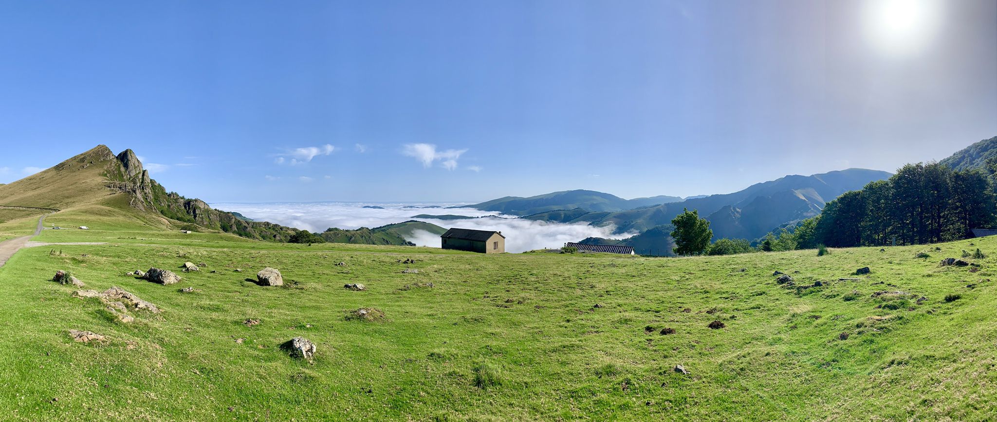
The Western Pyrenees – crossing the Pyrenees on the GR 10
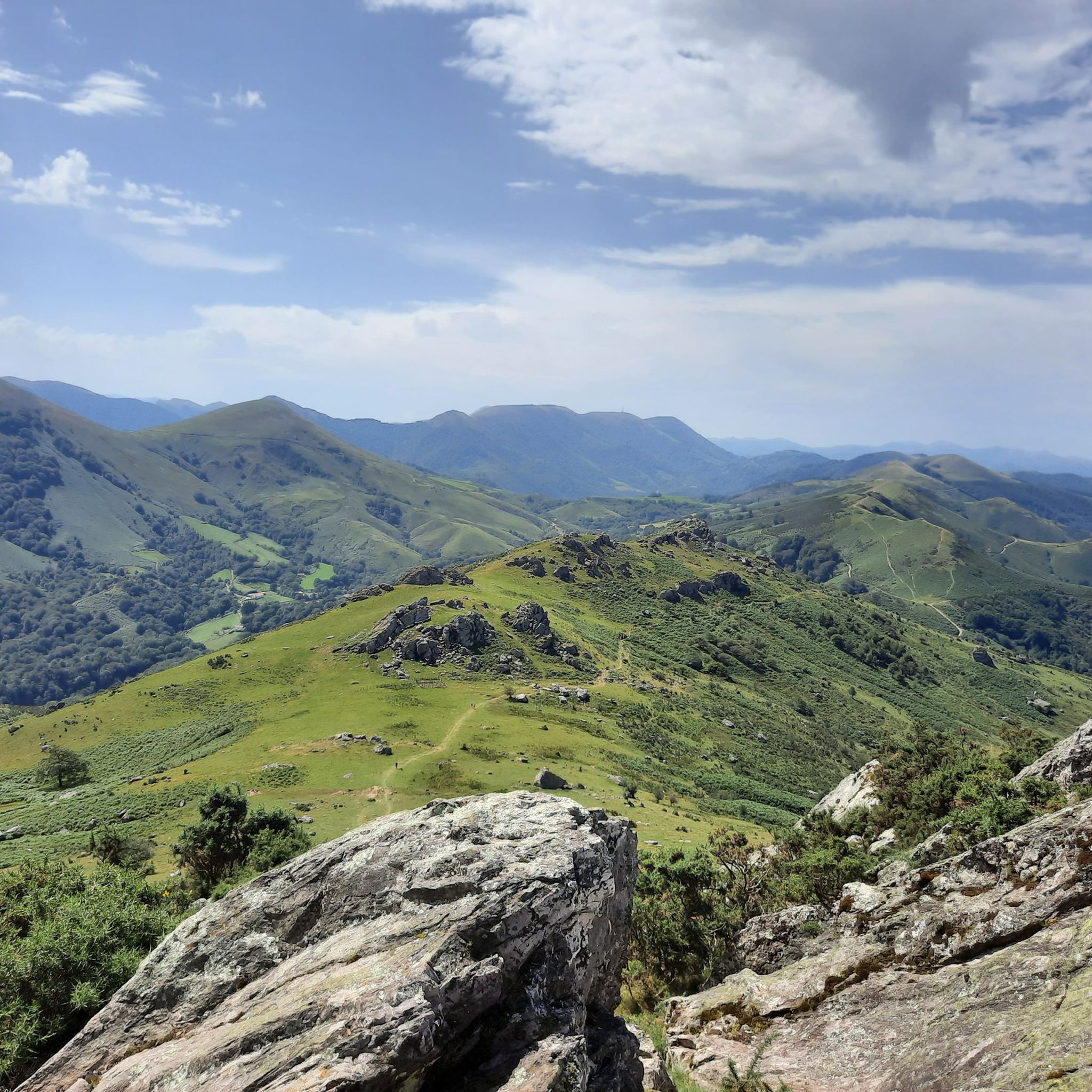
Hiking around Ainhoa
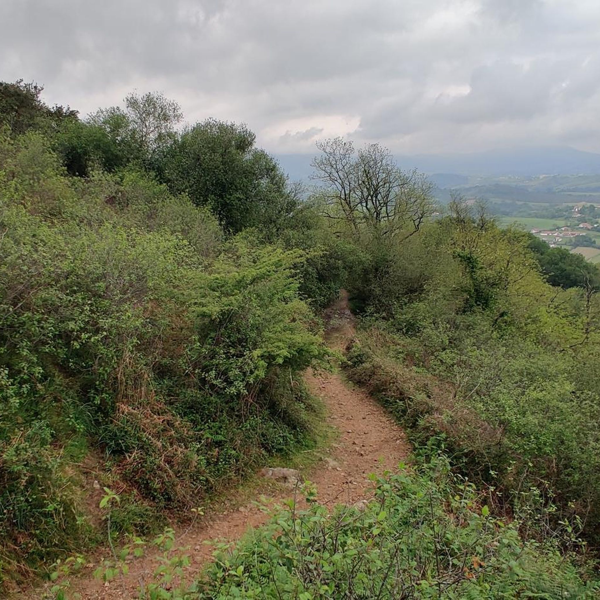
Running Trails around Ainhoa
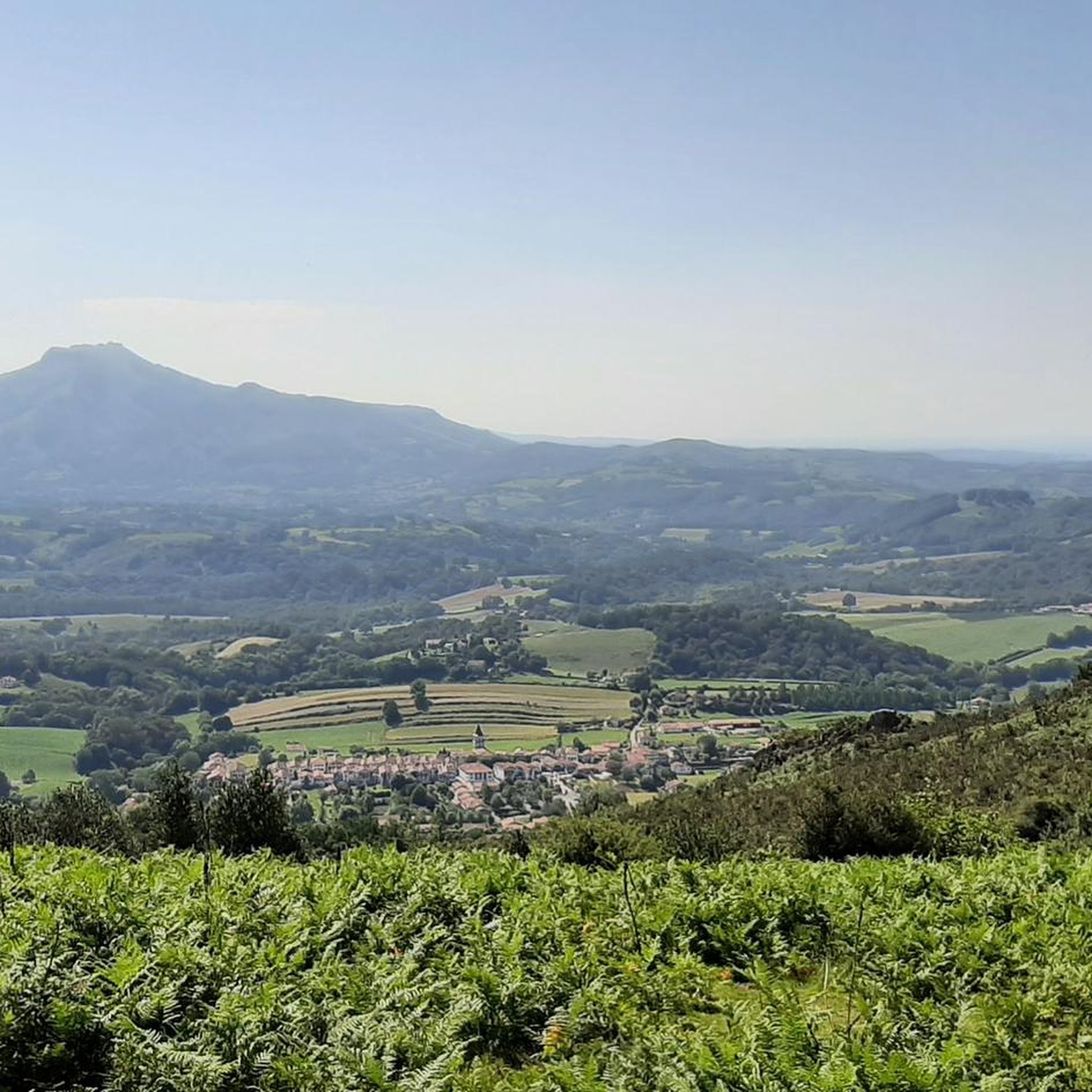
Road Cycling Routes around Ainhoa
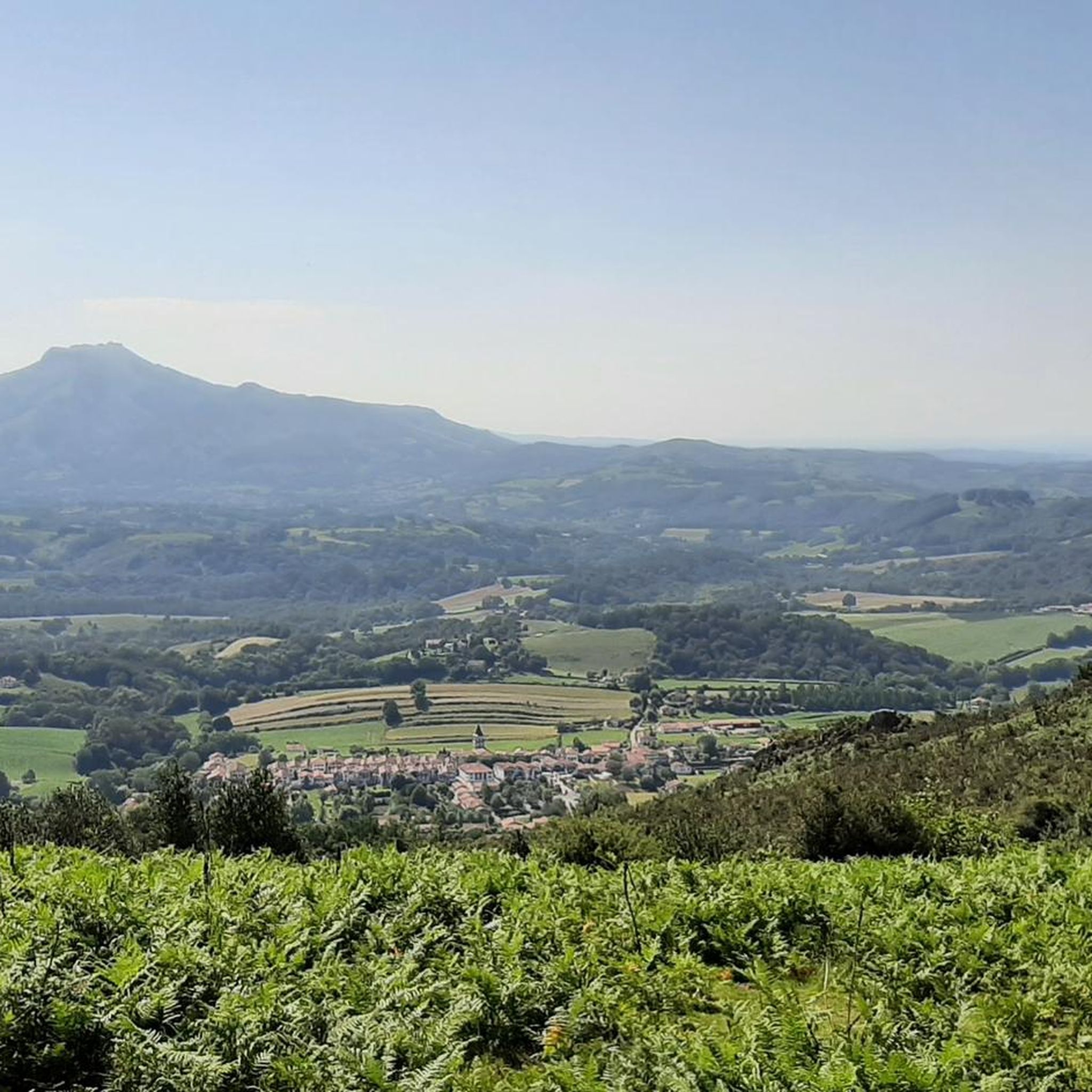
MTB Trails around Ainhoa
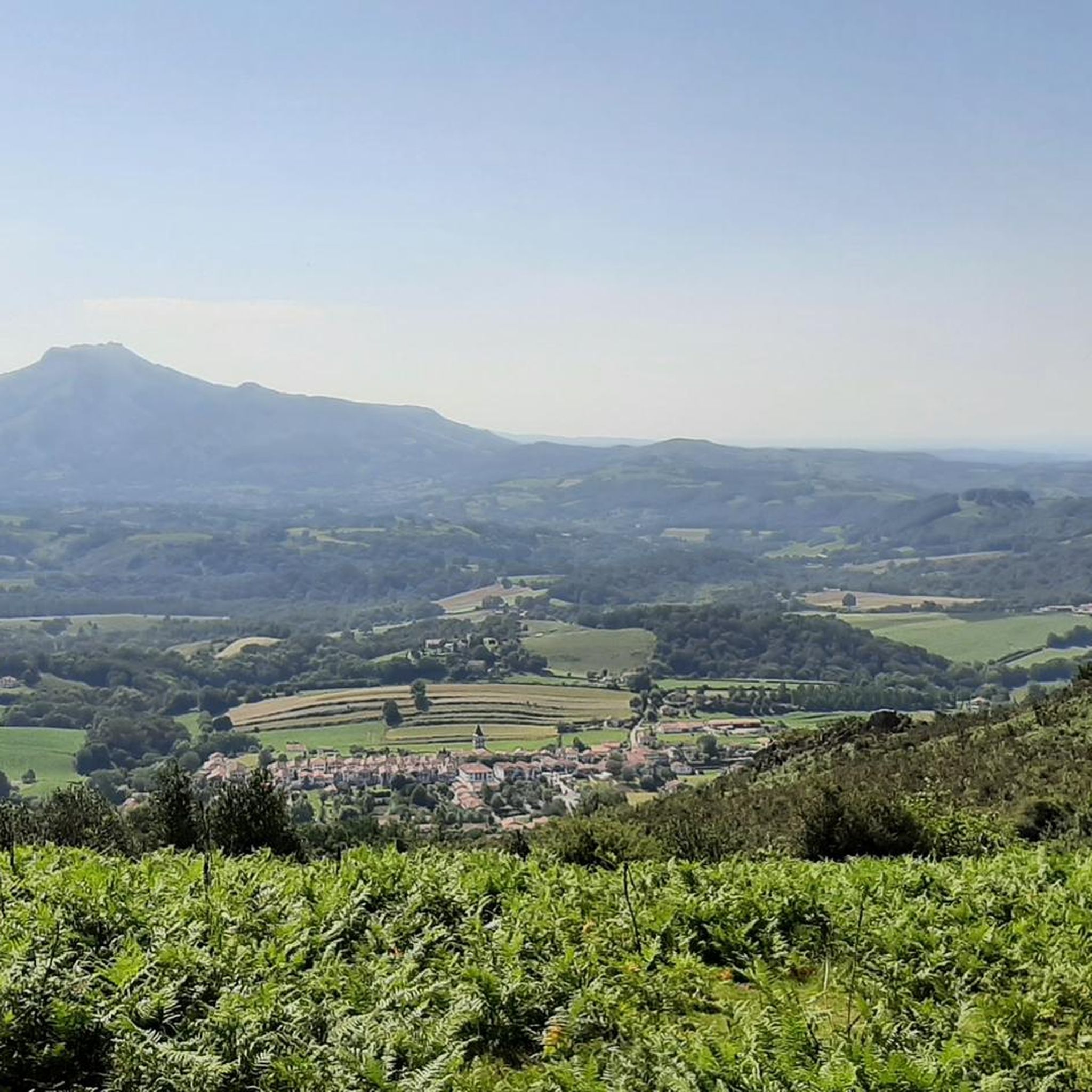
Cycling around Ainhoa

Gravel biking around Ainhoa
Other adventures around Ainhoa


Tips from the Community

The descent to Ibarron is a treat, perfect for progressing in MTB...
0
0

La Rhune or “Larrun” in Basque is a summit in the Basque Country which rises to an altitude of 901 meters. La Rhune, which is accessible by train or on foot, is located on the border between France and Spain.
3
1
Mount Artzamendi is reached by a short but particularly demanding climb. From Laxia, the climb is 5.6 kilometers at an average of 11% with passages at 19%. At the top, the panorama of the Basque Country extends practically to the Atlantic coast.
3
1

Hello, the hills between the villages of Ascain, Sare and St Pée sur Nivelle offer paths with multiple accesses. The views are remarkable, especially from the top of Suhalmendi.
0
0
The peak of Iparla dominates the ridges of the same name, culminating at 1,044 meters above sea level. This magnificent natural wall symbolizes the separation between France and Spain. From the village of Bidarray the ascent is gradual without too much difficulty along the ridge.
4
0
The Artzamendi rises to 924 meters above sea level, making it the highest point in the province of Labourd. The "mountain of the bear" in Basque is identifiable by its large white ball which serves as a civilian radar station. This summit offers a very nice 360 degree panorama.
2
0
Culminating at 749 meters, Mondarrain is an iconic peak in the Basque Country. Its particular shape makes it easy to distinguish. The “Mount of Eagles” in Basque offers a magnificent view of the surrounding area including its neighbor, Artzamendi.
7
2

An impressive cliff. As you get closer to the void, you feel a current of air pushing you upwards
3
0
Frequently Asked Questions
What are some of the most notable mountain peaks to visit near Ainhoa?
The region around Ainhoa offers several impressive peaks. Among the most popular are La Rhune summit, known for its panoramic views and unique rack railway, and Mondarrain, an iconic peak with a distinctive shape. Other significant summits include Iparla Peak, which marks the border between France and Spain, and Mont Artzamendi, offering challenging climbs and rewarding vistas.
Which peaks offer the best panoramic views of the Basque Country and the Atlantic coast?
For truly extraordinary 360-degree views, La Rhune summit is highly recommended, encompassing both the Pyrenees and the Atlantic bays. Mondarrain also provides magnificent views of the surrounding area, including its neighbor Artzamendi. From the top of Mont Artzamendi, the panorama extends across the Basque Country almost to the Atlantic coast. Even the smaller Mount Atsula, directly above Ainhoa, offers splendid views of the village, La Rhune, and the ocean on clear days.
Are there accessible mountain peaks for all fitness levels, including easy hikes?
Yes, there are options for various fitness levels. While some peaks like Mont Artzamendi are known for demanding climbs, others offer more moderate or even easy approaches. For instance, the ascent to Mount Atsula, though steep, is relatively short (45 minutes to an hour). The Santa Barbara Cross (Suhalmendi) offers a nice easy route with 360-degree viewpoints, suitable for families. Additionally, La Rhune summit is accessible via a scenic rack railway, making it an option for those who prefer not to hike.
How challenging are the climbs to peaks like Mont Artzamendi or Iparla Peak?
Climbs to peaks like Mont Artzamendi can be particularly demanding. From Laxia, the ascent is 5.6 kilometers at an average gradient of 11%, with sections reaching 19%. Iparla Peak, at 1,044 meters, involves a gradual ascent from Bidarray along the ridge, which can be a rewarding experience for those seeking a longer, challenging hike. Some paths, as noted by visitors, can be unmaintained or slippery, requiring caution.
Can I reach any of the peaks using public transport or unique methods?
Yes, La Rhune summit is famously accessible by a scenic rack railway train, offering a unique historical journey into the Basque mountains. This provides an alternative to hiking for reaching the summit and enjoying the views.
Are there family-friendly mountain walks around Ainhoa?
Yes, several options are suitable for families. The route to the Santa Barbara Cross (Suhalmendi) is described as a nice easy route, well-signposted, and family-friendly. The ascent to Mount Atsula, while steep, is short enough to be manageable for active families, offering a rewarding view of Ainhoa village and the surrounding landscape.
What kind of natural features or wildlife can I expect to see on these mountain peaks?
The mountain peaks around Ainhoa are rich in natural beauty and biodiversity. La Rhune is a Natura 2000 site, known for its rich landscapes, and you can often spot free-roaming horses (pottocks). The area is characterized by stunning panoramic viewpoints, dramatic ridges like those leading to Iparla Peak, and diverse flora. Mondarrain is even known as the 'Mount of Eagles' in Basque, hinting at potential birdlife.
When is the best time of year to hike the mountains near Ainhoa?
The best time to hike the mountains near Ainhoa is generally during spring, summer, and early autumn. These seasons offer more favorable weather conditions, with less rain and more sunshine, making for clearer views and safer trails. While specific winter conditions are not detailed, it's advisable to check local forecasts and trail conditions if planning a winter hike, as some paths may become slippery or impassable.
What outdoor activities, besides peak bagging, can I do near Ainhoa's mountains?
Beyond reaching the summits, the Ainhoa region offers a variety of outdoor activities. You can explore numerous hiking trails, such as the moderate "Mount Errebi and the chapel in Ainhoa" or the easy "Aubepine Chapel – The Three Crosses of Xareta loop from Ainhoa." For more strenuous activities, there are challenging running trails like the "Bizkaïluze Ridge Trail – Mondarrain loop from Ainhoa," and cycling routes including the "Otxondo Pass – Ispéguy Pass loop from Ainhoa." You can find more details on these activities in the Hiking around Ainhoa, Running Trails around Ainhoa, and Cycling around Ainhoa guides.
Are there specific hiking trails recommended for exploring the peaks?
Yes, there are many trails that lead to and around the peaks. For La Rhune summit, you can choose from various well-trodden paths, though some are steep. The ascent to Iparla Peak from the village of Bidarray is a gradual ridge walk. For a moderate hike, consider the "Mount Errebi and the chapel in Ainhoa" route. You can find more detailed trail information and options in the Hiking around Ainhoa guide.
What do visitors enjoy the most about the mountain peaks around Ainhoa?
Visitors consistently praise the breathtaking panoramic views from the summits, which often stretch from the Pyrenees to the Atlantic coast. The unique experience of taking the rack railway up La Rhune is also a highlight. Many appreciate the diverse hiking opportunities, from challenging climbs to more accessible family-friendly routes, and the chance to immerse themselves in the natural beauty and rich landscapes of the Basque Country.
Are there any cultural or historical landmarks on or near these mountain peaks?
Yes, several peaks offer cultural or historical points of interest. On Mount Atsula, directly above Ainhoa, you'll find a charming chapel dedicated to Our Lady of Aubépine at the summit. The Santa Barbara Cross (Suhalmendi) is a tribute cross from 1938, offering both historical significance and stunning views. The rack railway to La Rhune itself provides a unique historical experience.
Most popular routes around Ainhoa
Most popular attractions around Ainhoa

Get inspired with the komoot mobile app


Explore more
See even more amazing summits around Ainhoa with these guides:
